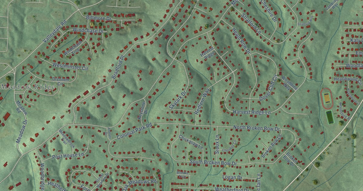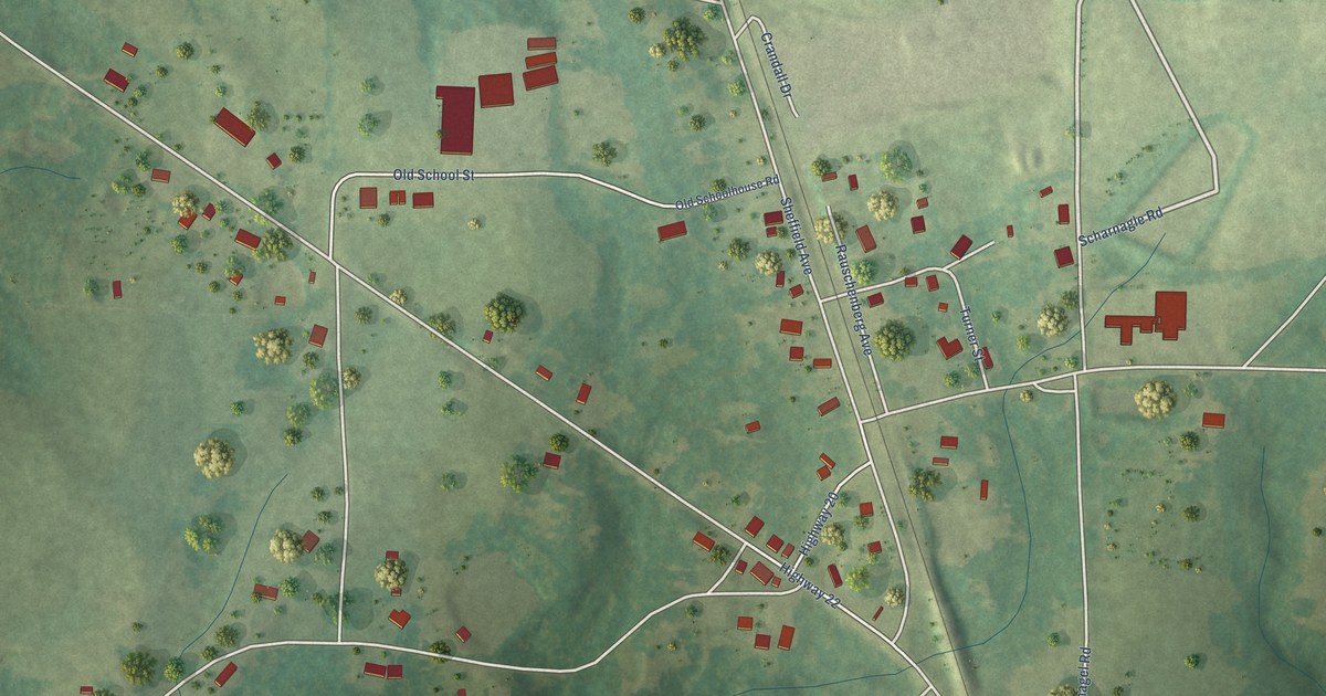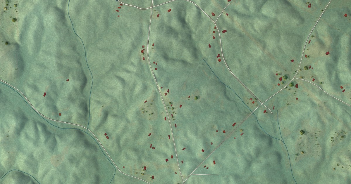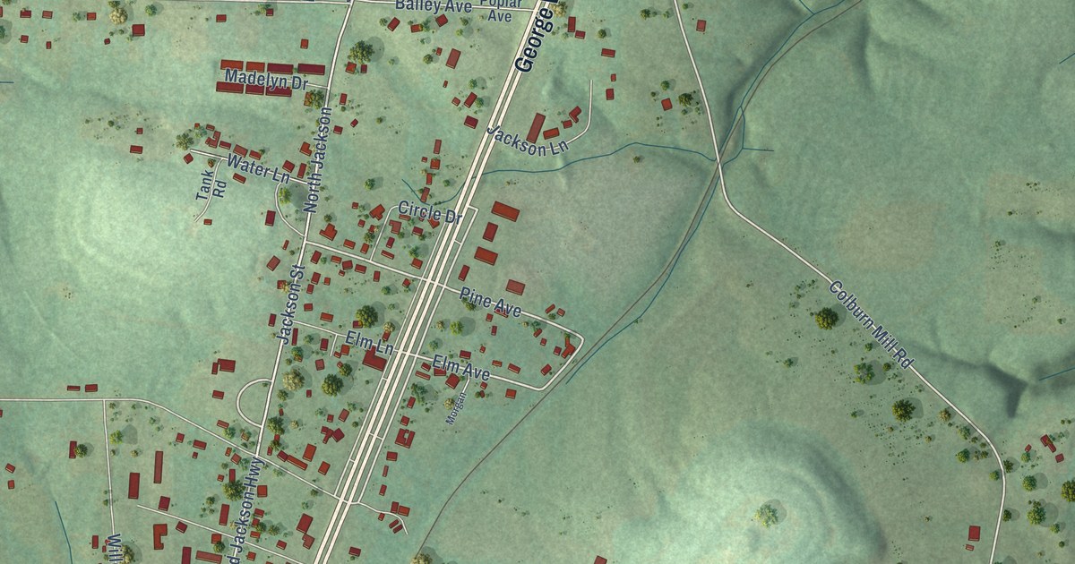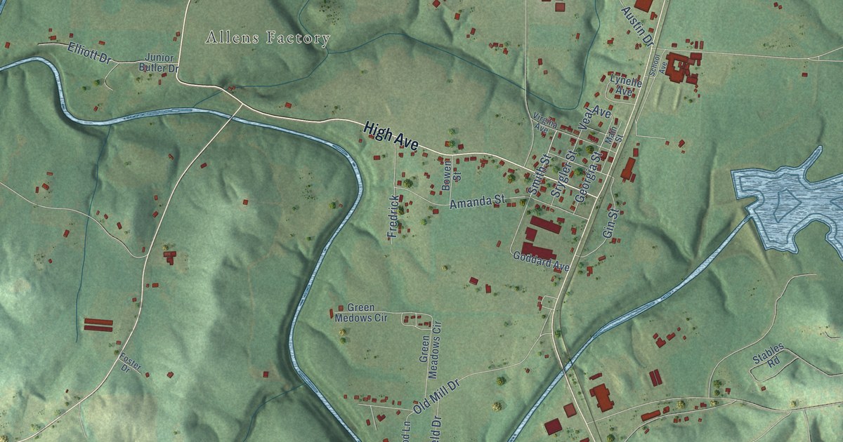
This beautifully detailed map of Bear Creek, Alabama was created in 2026 using aerial imagery combined with modern topographical, census, street and landmark data. It’s a one-of-a-kind view of Bear Creek that combines accurate data with a vintage aesthetic. The map shows every building in its true location, many of the roads carry their names, and the shaded topographic relief shows the shape of the land.
Explore an aerial view of Bear Creek, Alabama
On the map you’ll find Goddard, Lumbull, and Allens Factory, along with High Avenue, Goddard Road, Smith Street, Edge Road, Phillips Road, Old Mill Drive, Twin Forks Road, Swick Farm Road, Hulsey Road, and more. If you look closely you can even find your house accurately drawn in its correct location. Zoom in on the preview to look for yours.
Did you know this piece of Bear Creek, Alabama history?
Before 1861, Bear Creek was known as Allen’s Factory for the Allen settlers’ cotton mill. The factory burned during the war and was later rebuilt. That’s from the 1921 History of Alabama and Dictionary of Alabama Biography.
Take a closer look at the Bear Creek map
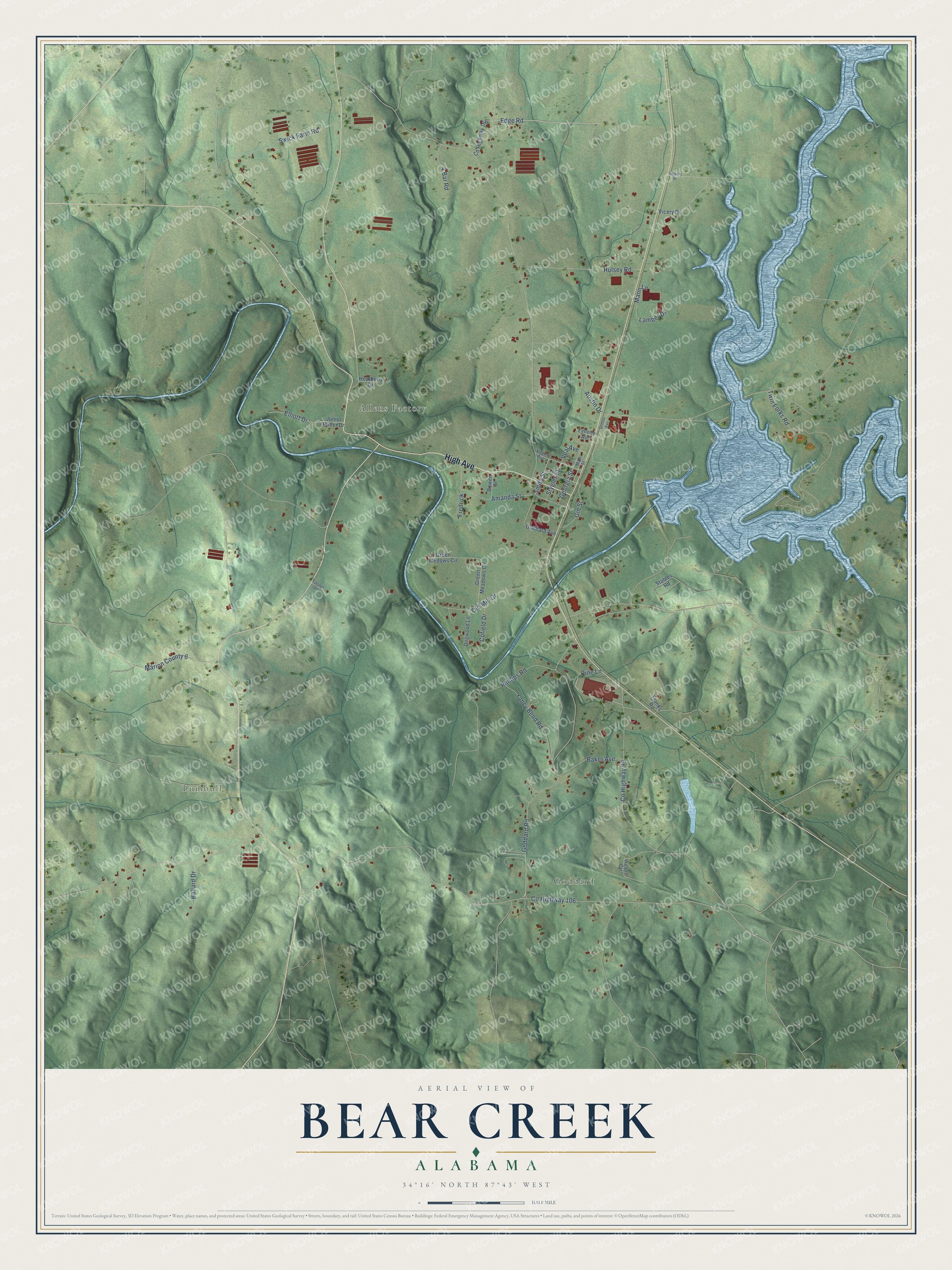
Street and place names on the Bear Creek, Alabama map
These names are printed on the map of Bear Creek, Alabama.
Places: Goddard, Lumbull and Allens Factory.
Streets and roads: High Avenue, Goddard Road, Smith Street, Edge Road, Phillips Road, Old Mill Drive, Twin Forks Road, Swick Farm Road, Hulsey Road, Austin Drive, Amanda Street, County Highway 99.
More street names, A to Z
4 Bar Road, Austin Circle, Baker Avenue, Ballard Drive, Bowen Street, Cofield Drive, County Highway 106, County Highway 166, Dogwood Lane, Elliott Drive, Foster Drive, Franks Road, Fredrick, Georgia Street, Gin Street, Goddard Avenue, Green Meadows Circle, Green Medows Circle, Heatherly Drive, Junior Butler Drive, Lamber Drive, Lynelle Avenue, Main Street, Mann Lane, Marion County 6, Pine Lane, School Avenue, Srygler Street, Stables Road, Veal Avenue, Vicery Drive, Vickery Drive, Virgina Avenue, Yancy Bend Road.
See the Bear Creek, Alabama map on a wall
The Bear Creek map as an 18 x 24 inch print in a black frame.

This beautifully detailed map of Bear Creek makes an attractive addition to your office, library, or den, and it can even be used to teach children the geography and history of the area. It also makes a great gift for someone who left Bear Creek and still calls it home. When you’re done exploring, click here to get your copy of the Bear Creek map.