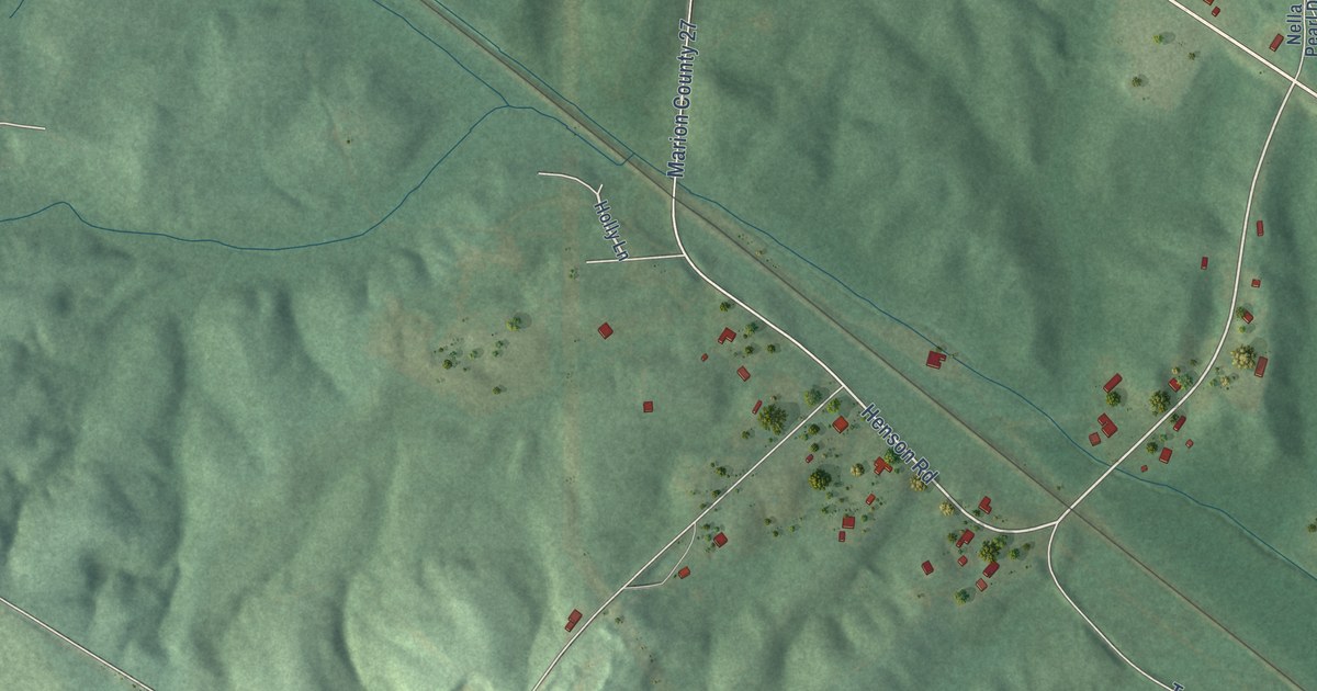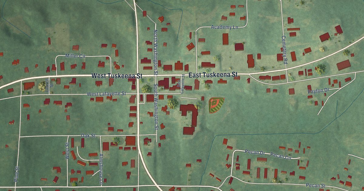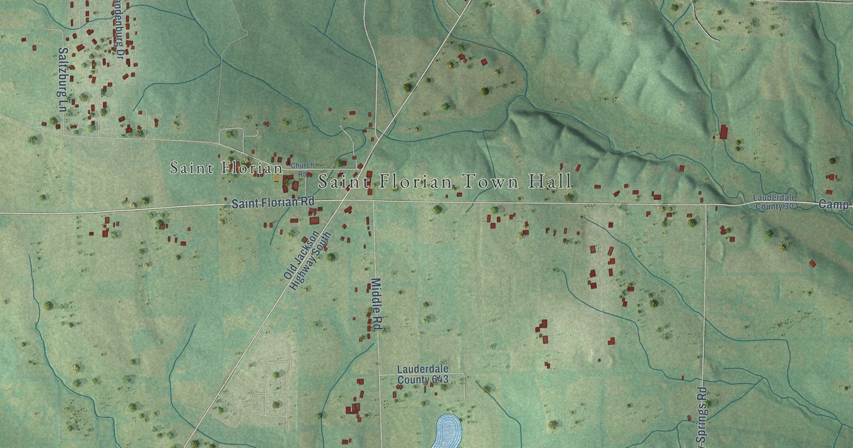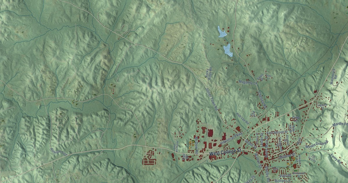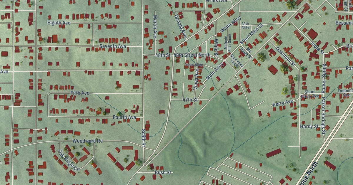
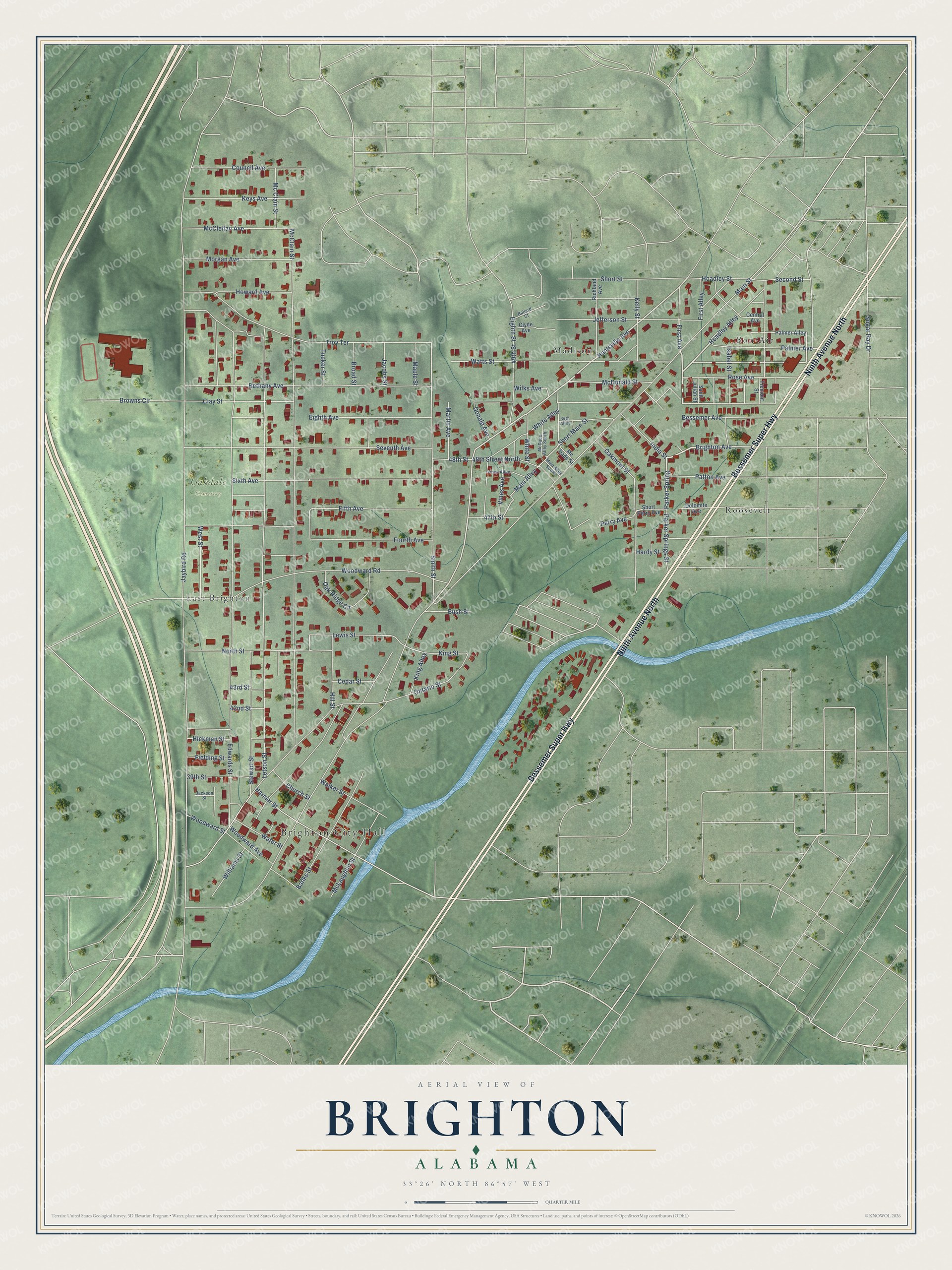
This beautifully detailed map of Brighton, Alabama was created in 2026 using aerial imagery combined with modern topographical, census, street and landmark data. It's a modern aerial view of Brighton in Jefferson County, Alabama, that combines modern data with a vintage aesthetic. The roads feature printed names, and if you look closely you can find your exact house accurately shown in its correct location.
Explore an aerial view of Brighton, Alabama
On this map you'll find Brighton City Hall, Oakdale Cemetery, Bon-Air, East Brighton, Madison, Roosevelt, Ninth Avenue North, Bessemer Super Highway, Brighton Avenue, Parker Spring, First Avenue, Huntsville Avenue, and more. Each red shape is a building, so zoom in on the preview and look for yours.
Brighton has a story worth telling. The record at encyclopediaofalabama.org puts it this way: "Brighton incorporated that same year and was home to several grocery stores, a furniture store, and other businesses by this time."
Brighton is a city in Jefferson County. The Census Bureau counted 2,337 people here in 2020.
Take a closer look at the Brighton map
Names on this map
These names are printed on this map.
Places: Brighton City Hall, Oakdale Cemetery, Bon-Air, East Brighton, Madison and Roosevelt.
Streets and roads: Ninth Avenue North, Bessemer Super Highway, Brighton Avenue, Parker Spring, First Avenue, Huntsville Avenue, Smith Street, Main Alley, Lewis Street, King Street, Main Street, Jaybird Road.
More street names, A to Z
34th Alley, 39th Street, 42nd Street, 43rd Street, 47th Street, 48th Street, 48th Street North, 49th Street, Ballard Court, Banks Street, Bessemer Avenue, Bethany Avenue, Broad Street, Browns Circle, Bush Street, Cedar Street, Central Avenue, Church Street, Clay Street, Clyde Avenue, Council Avenue, Dolomite Avenue, Donald Avenue, Edwards Street, Eighth Avenue, Eighth Street, Fielding Street, Fifth Avenue, First Alley, Fourth Avenue, Hardy Street, Harmer Street, Hickman Street, Hill Street, Hoadley Alley, Hoadley Street, Howard Avenue, India Street, Isabel Street, Jackson Street, Jacobs Street, Jefferson Street, Kelly Street, Keys Avenue, King Alley, Letson Street, Main Alley South, Maple Street, Martin Avenue, McClain Street, Mc Clain Street, McClellan Avenue, McDade Alley South, Mc Dade Street, McDonald Street, McLaughlin Street, Morgan Avenue, North Street, Oakmont Street, Oak Ridge Circle, Ontario Street, Palmer Alley, Palmer Avenue, Parker Springs Street, Patton Avenue, Perry Avenue, Richland Avenue, Rose Avenue, Saint Julian Street, Second Street, Seventh Avenue, Short Main Street, Short Perry Avenue, Short Street, Sixth Avenue, Stewart Street, Sugar Ray Drive, Tremont Street, Troy Terrace, Tucker Street, Vines Alley, Vines Avenue, Walker Street, Water Street, Watts Street, West Street, White Alley, White Street, Wilks Avenue, Williams Street, Woodward Avenue, Woodward Road, Woodward Street.
Created by KNOWOL in 2026. The buildings are small red shapes, the roads carry their printed names, and shaded relief shows the shape of the land. The title panel reads "AERIAL VIEW OF BRIGHTON ALABAMA" with 33°26' NORTH 86°57' WEST.
It looks right in a kitchen, an office or a den, and it's a gift for anyone who grew up in Brighton or moved away. Open the preview and find your street. See sizes and frames for the Brighton map.