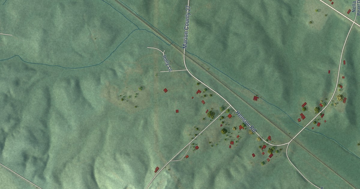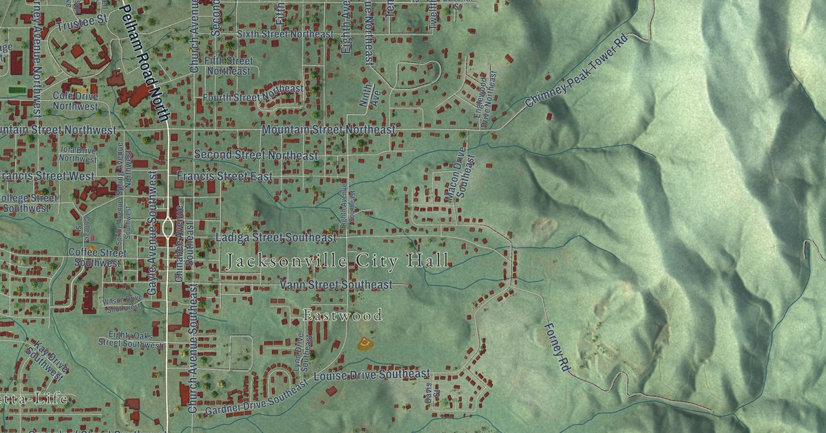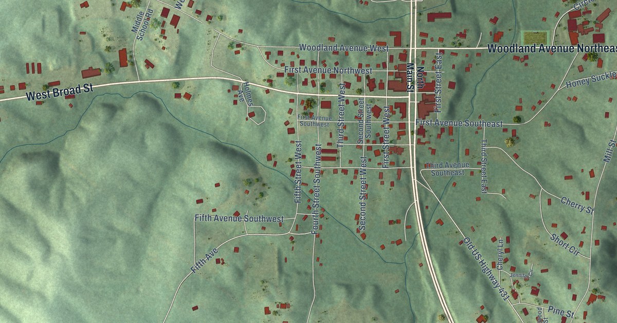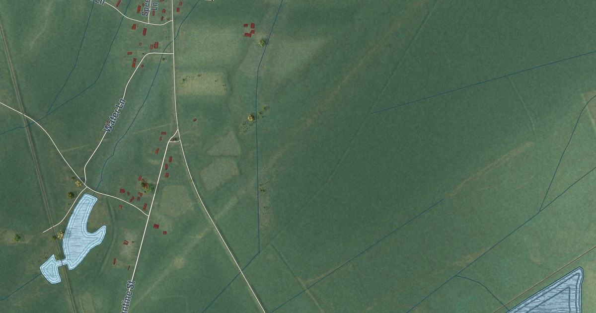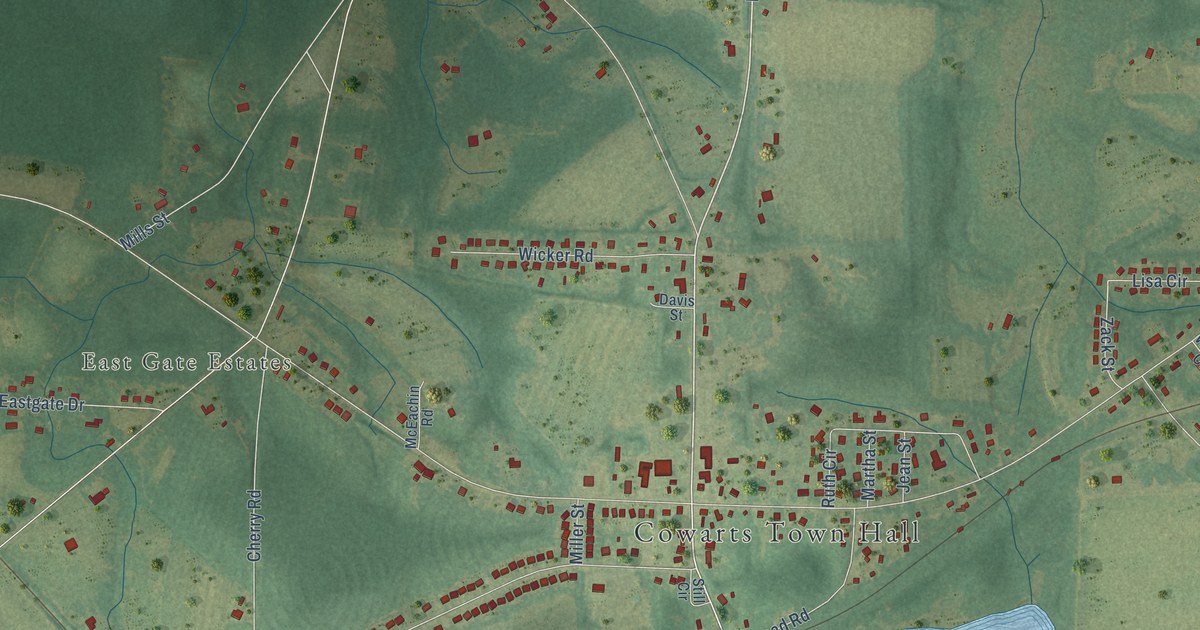
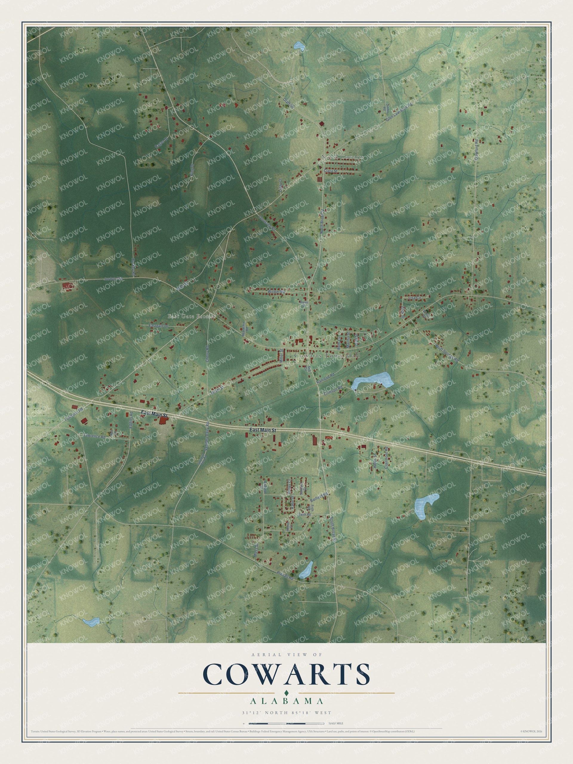
This beautifully detailed map of Cowarts, Alabama was created in 2026 using aerial imagery combined with modern topographical, census, street and landmark data. It's a modern aerial view of Cowarts in Houston County, Alabama, that combines modern data with a vintage aesthetic. The roads feature printed names, and if you look closely you can find your exact house accurately shown in its correct location.
Explore an aerial view of Cowarts, Alabama
On this map you'll find Cowarts Town Hall, North Cowarts, East Gate Estates, East Main Street, Prevatt Road, Forrester Road, South Broad Street, North Broad Street, Barfield Road, Jordon Avenue, Glen Lawrence Road, Omussee Road, and more. Each red shape is a building, so zoom in on the preview and look for yours.
Here is a piece of Cowarts history, in the words of the record. The record at encyclopediaofalabama.org puts it this way: "When the train depot first opened, a sign painter added an 's' to the town's name on the depot sign, and the mistake became permanent."
Cowarts is a town in Houston County. The Census Bureau counted 1,930 people here in 2020.
Take a closer look at the Cowarts map
Names on this map
These names are printed on this map.
Places: Cowarts Town Hall, North Cowarts and East Gate Estates.
Streets and roads: East Main Street, Prevatt Road, Forrester Road, South Broad Street, North Broad Street, Barfield Road, Jordon Avenue, Glen Lawrence Road, Omussee Road, Crawford Road, Jester Street, Bluff Springs Road.
More street names, A to Z
Barfield Court, Butler Court, Cherry Road, Clairmont Road, Clara Street, Crimson Road, Davis Street, Eastgate Drive, Eddins Road, Edith Road, Frith Road, Helen Street, Hillside Court, Holt Court, Huskey Road, Jean Street, Jimbo Road, Katie Drive, King Drive, Lawrence Road, Lisa Circle, Lizzy Court, Martha Street, McEachin Road, Miller Street, Mills Street, Moss Street, Olaff Road, Ragan Drive, Railroad Road, Ruth Circle, Sanders Court, Sanitary Dairy Road, Sanitation Dairy Road, Still Circle, Wicker Road, Windy Court, Zack Street.
Created by KNOWOL in 2026. The buildings are small red shapes, the roads carry their printed names, and shaded relief shows the shape of the land. The title panel reads "AERIAL VIEW OF COWARTS ALABAMA" with 31°12' NORTH 85°18' WEST.
It suits a den, a classroom or a front hall, and it makes a gift for anyone with Cowarts roots. Open the preview and find the block you know. See sizes and frames for the Cowarts map.