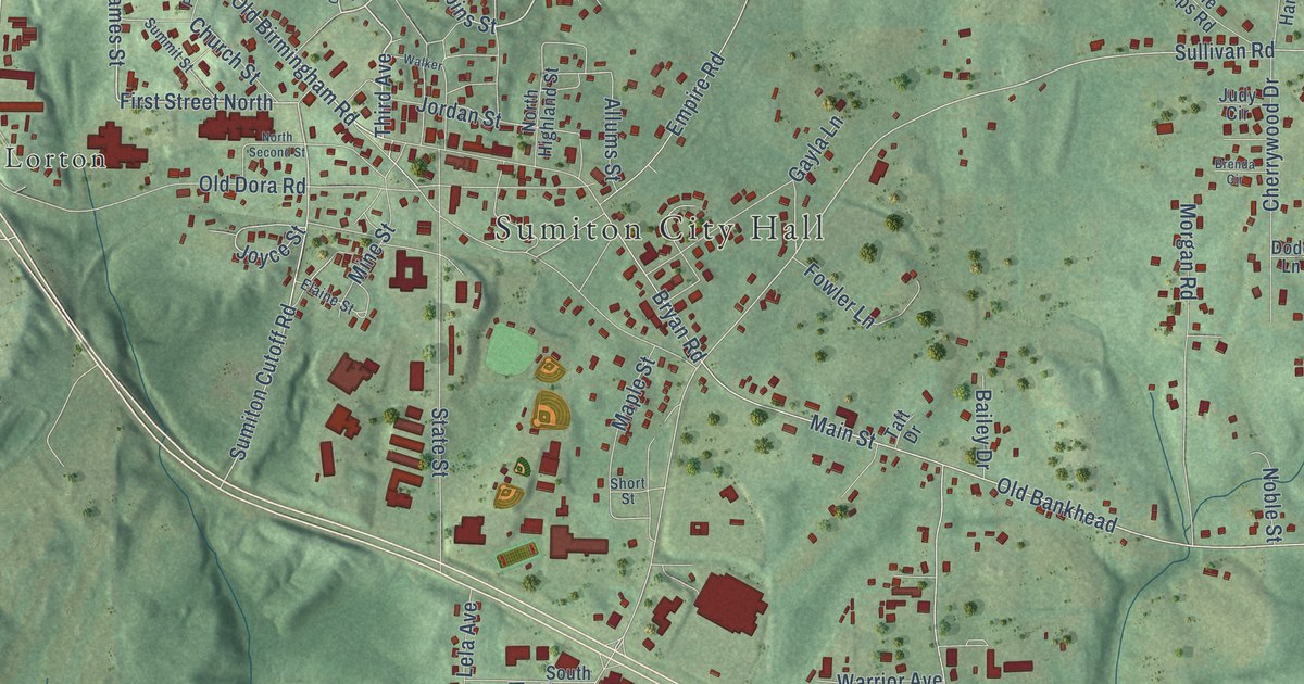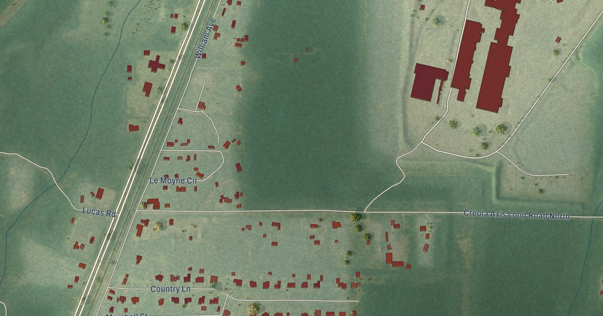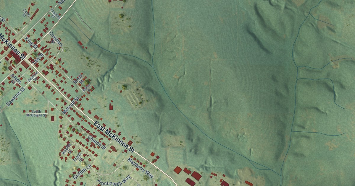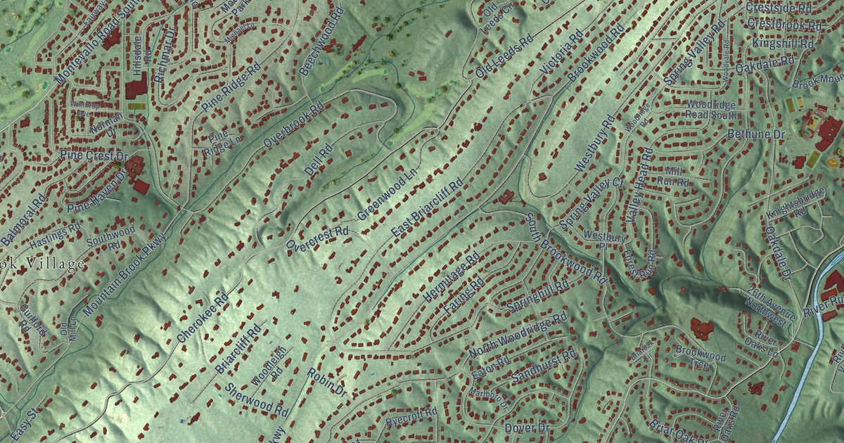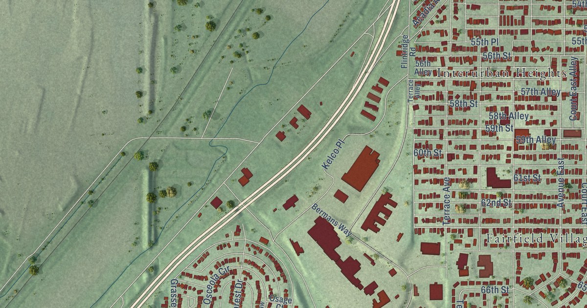
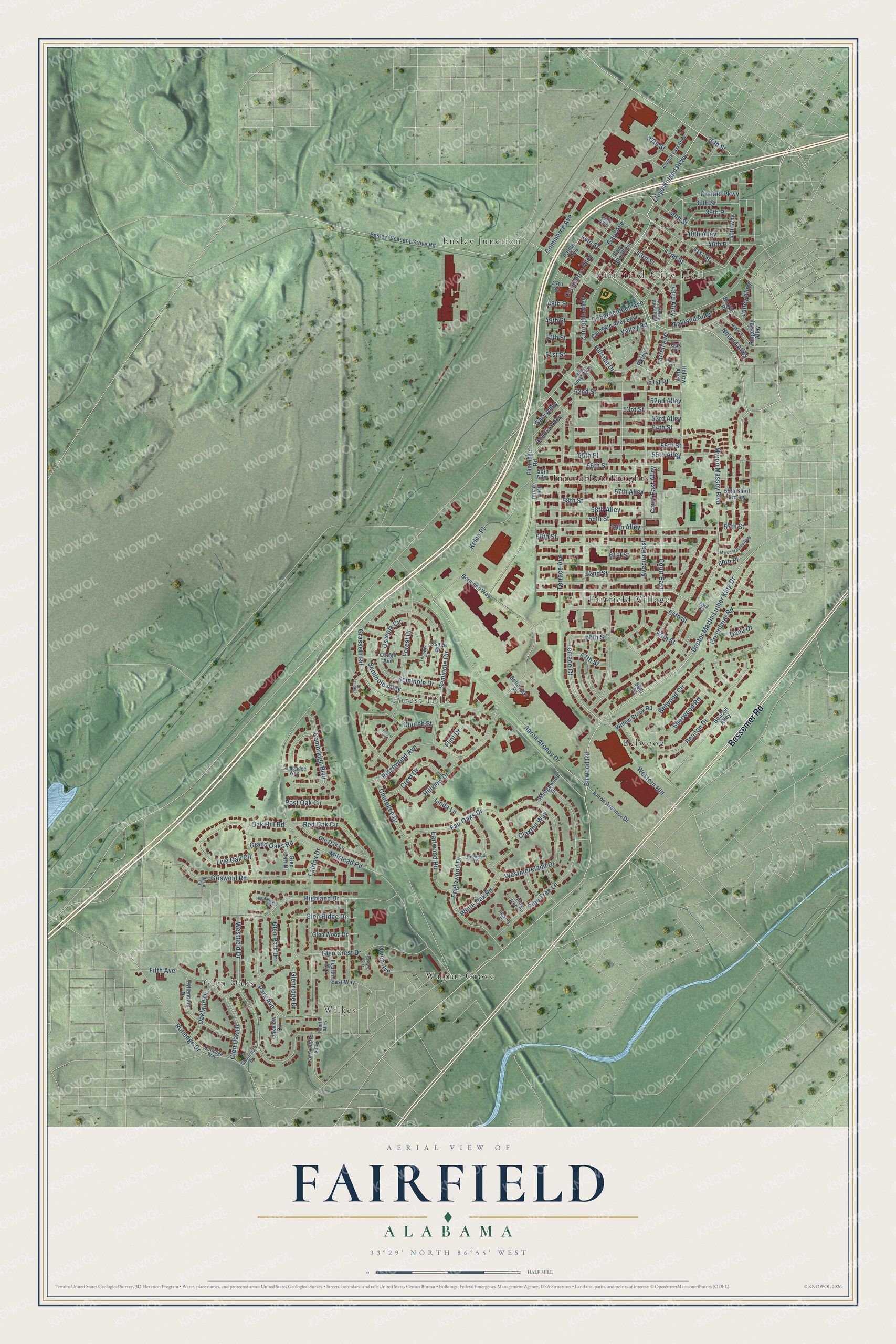
This beautifully detailed map of Fairfield, Alabama was created in 2026 using aerial imagery combined with modern topographical, census, street and landmark data. It’s a one-of-a-kind view of Fairfield that combines accurate data with a vintage aesthetic. The map shows every building in its true location, many of the roads carry their names, and the shaded topographic relief shows the shape of the land.
Explore an aerial view of Fairfield, Alabama
On the map you’ll find Fairfield City Hall, Belwood, Ensley Junction, Fairfield Village, Forest Hills, Glen Oaks, Interurban Heights, Walnut Grove, and Wilkes, along with Bessemer Road, Birwood Road, 49th Street, and more. If you look closely you can even find your house accurately drawn in its correct location. Zoom in on the preview to look for yours.
Did you know this piece of Fairfield, Alabama history?
From the Encyclopedia of Alabama: "The city now known as Fairfield was a planned company town, founded by United States Steel (U.S. Steel), which had purchased the Tennessee Coal, Iron and Railroad Company (TCI) in 1907."
Take a closer look at the Fairfield map
Street and place names on the Fairfield, Alabama map
These names are printed on the map of Fairfield, Alabama.
Places: Fairfield City Hall, Belwood, Ensley Junction, Fairfield Village, Forest Hills, Glen Oaks, Interurban Heights, Walnut Grove and Wilkes.
Streets and roads: Bessemer Road, Birwood Road, 49th Street, Lloyd Noland Parkway, Doctor Martin Luther King Drive, Terrace Court, 37th Street, 58th Alley, Parkway, 59th Alley, 36th Street, 44th Street.
More street names, A to Z
39th Place, 39th Street, 40th Alley, 40th Place, 40th Street, 40th Way, 41st Street, 42nd Alley, 42nd Street, 43rd Alley, 43rd Street, 47th Street, 48th Street, 50th Street, 51st Place, 51st Street, 52nd Alley, 52nd Street, 53rd Alley, 53rd Street, 54th Street, 55th Alley, 55th Place, 55th Saint Ensley, 55th Street, 56th Alley, 56th Street, 57th Alley, 57th Street, 58th Street, 59th Street, 60th Place, 60th Street, 61st Street, 62nd Street, 63rd Street, 64th Street, 65th Street, 66th Place, 66th Street, 67th Street, Aaron Aronnov Drive, Aaron Aronov Drive, Acadia Alley, Avenue East, Avenue East Alley, Beacon Alley, Beacon Drive, Belleview Place, Belwood Circle, Bermans Way, Burgin Place, Cambridge Boulevard, Cambridge Way, Carnegie Alley, Carnegie Alley East, Cherokee Drive, Church Street, Claxton Way, Commerce Alley, Commerce Avenue, Court East, Court East Alley, Crest Drive, Dana Drive, Debardeleben Avenue, Dogwood Lane, Donald Parkway, Earlwood Road, East Way, Englewood Drive, Ensley Pleasant Grove Road, Fairfax Drive, Fair Oaks Drive, Farrell Avenue, Fifth Avenue, Flint Drive, Flintridge Road, Forest Circle, Forest Drive, Fourth Alley, Fourth Avenue, Gary Alley, Gary Alley East, Gary Avenue, Glen Crest Circle, Glen Crest Drive, Glen Fair Drive, Glenfield Drive, Glen Oak Drive, Glen Park Drive, Glen Ridge Drive, Glenridge Drive, Glen Wood Drive, Grand Oaks Road, Grasselli Road, Greenbriar Road, Griswold Road, Habitat Court, Hickory Circle, Highland Circle, Highland Drive, Hillandale Drive, Hillside Drive, Hillview Drive, Hollow Alley, Kelco Place, Linda Lane, Live Oak Circle, Maple Street, Milstead Road, Muir Drive, Myron Massey Alley, Myron Massey Boulevard, Noland Alley, Oak Hill Road, Oakland Alley, Oakland Drive, Oak Place, Oakview Circle, Ole Oak Lane, Osage Avenue, Osage Court, Osceola Circle, Owen Avenue, Palmer Avenue, Park Avenue, Park Ridge Avenue, Parkway Alley East, Pine Place, Pine Tree Circle, Pine Tree Lane, Post Oak Circle, Red Oak Circle, Ridgeway Alley, Ridgewood Avenue, Rutledge Drive, Rutledge Way, Seminole Alley, Seminole Circle, Seminole Drive, Sherwood Road, Tensaw Court, Terrace Alley, Terrace Avenue, Valley Alley, Valley Alley South, Valley Road, Wedgewood Drive, Western Hill, Westfield Drive, Westmoreland Drive, White Oak Road, Willow Brook Road.
See the Fairfield, Alabama map on a wall
The Fairfield map as an 18 x 24 inch print in a black frame.

This beautifully detailed map of Fairfield makes an attractive addition to your office, library, or den, and it can even be used to teach children the geography and history of the area. It also makes a great gift for anyone who grew up in Fairfield or moved away. When you’re done exploring, click here to get your copy of the Fairfield map.