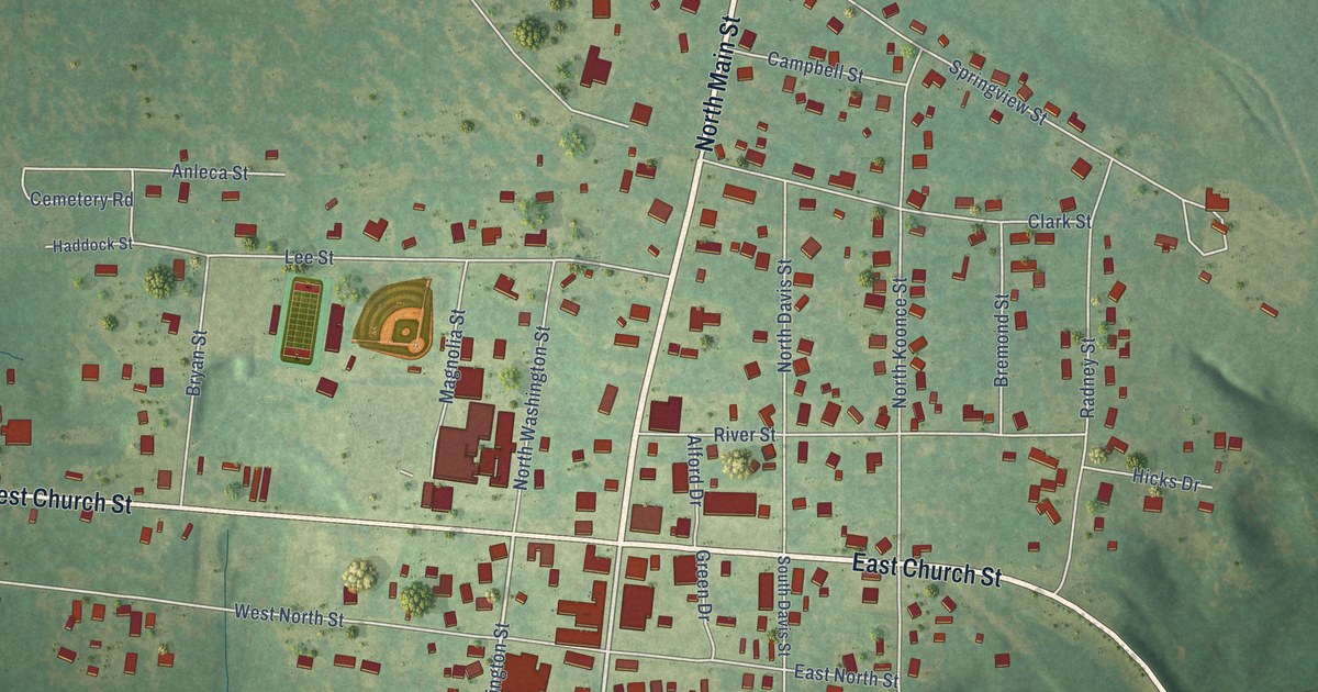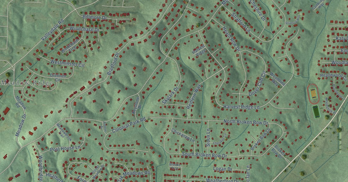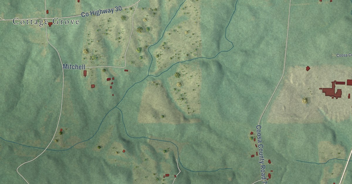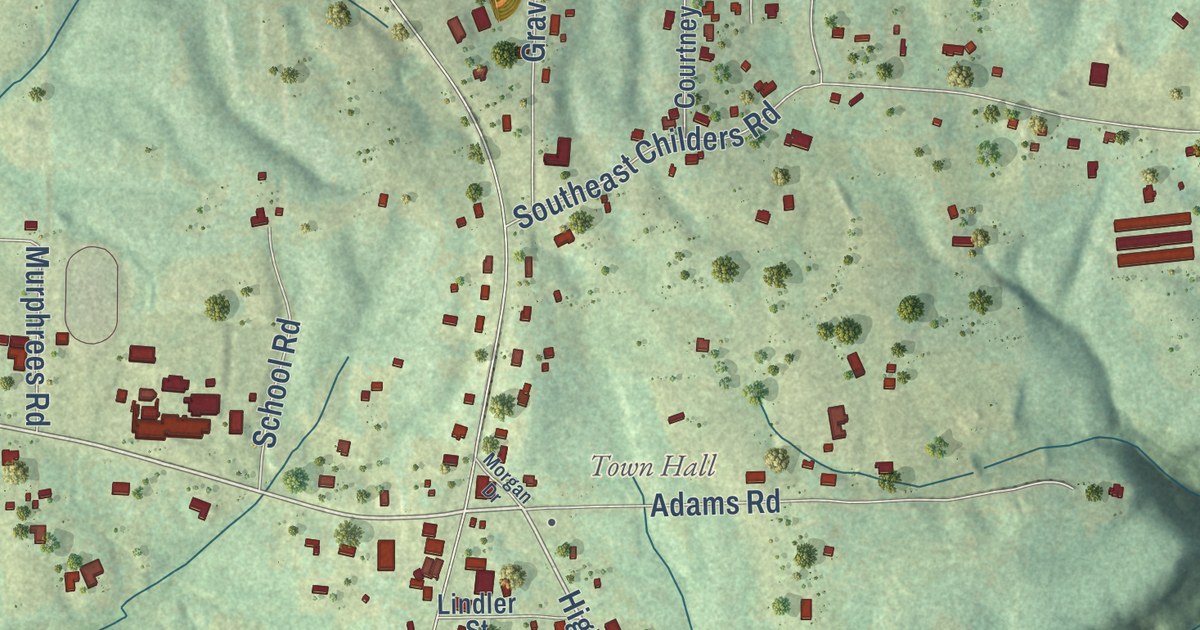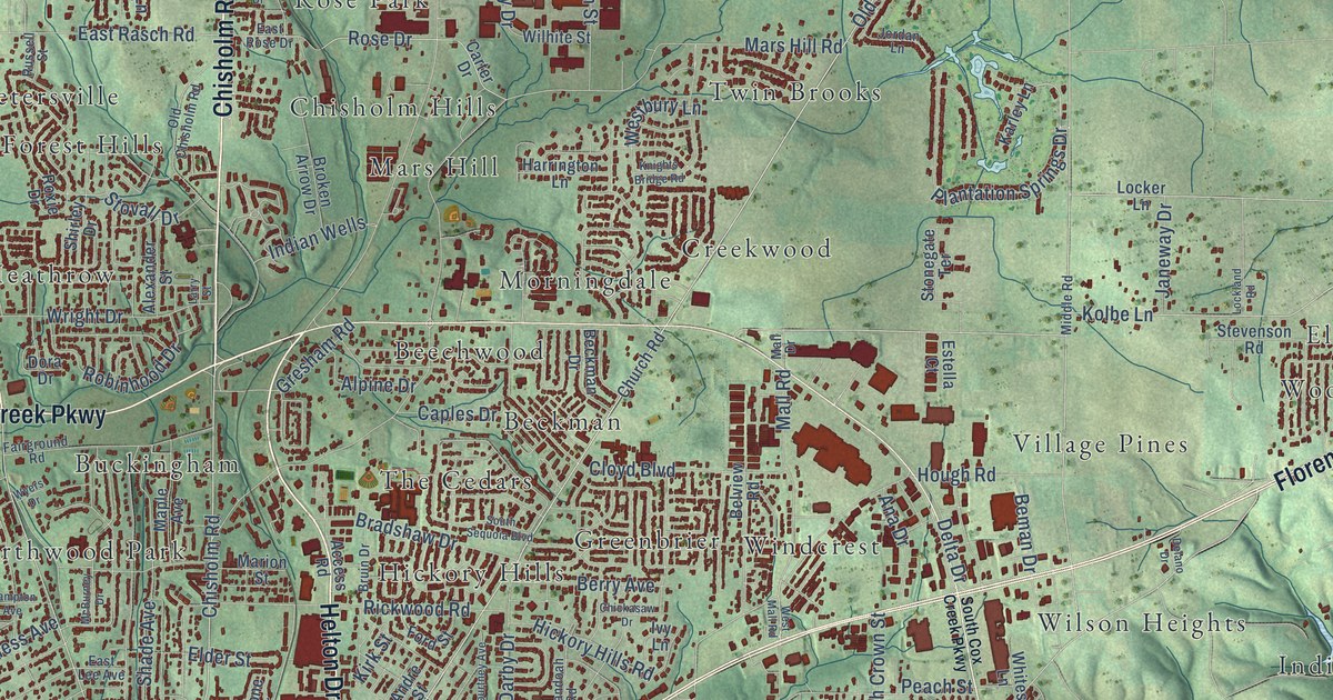
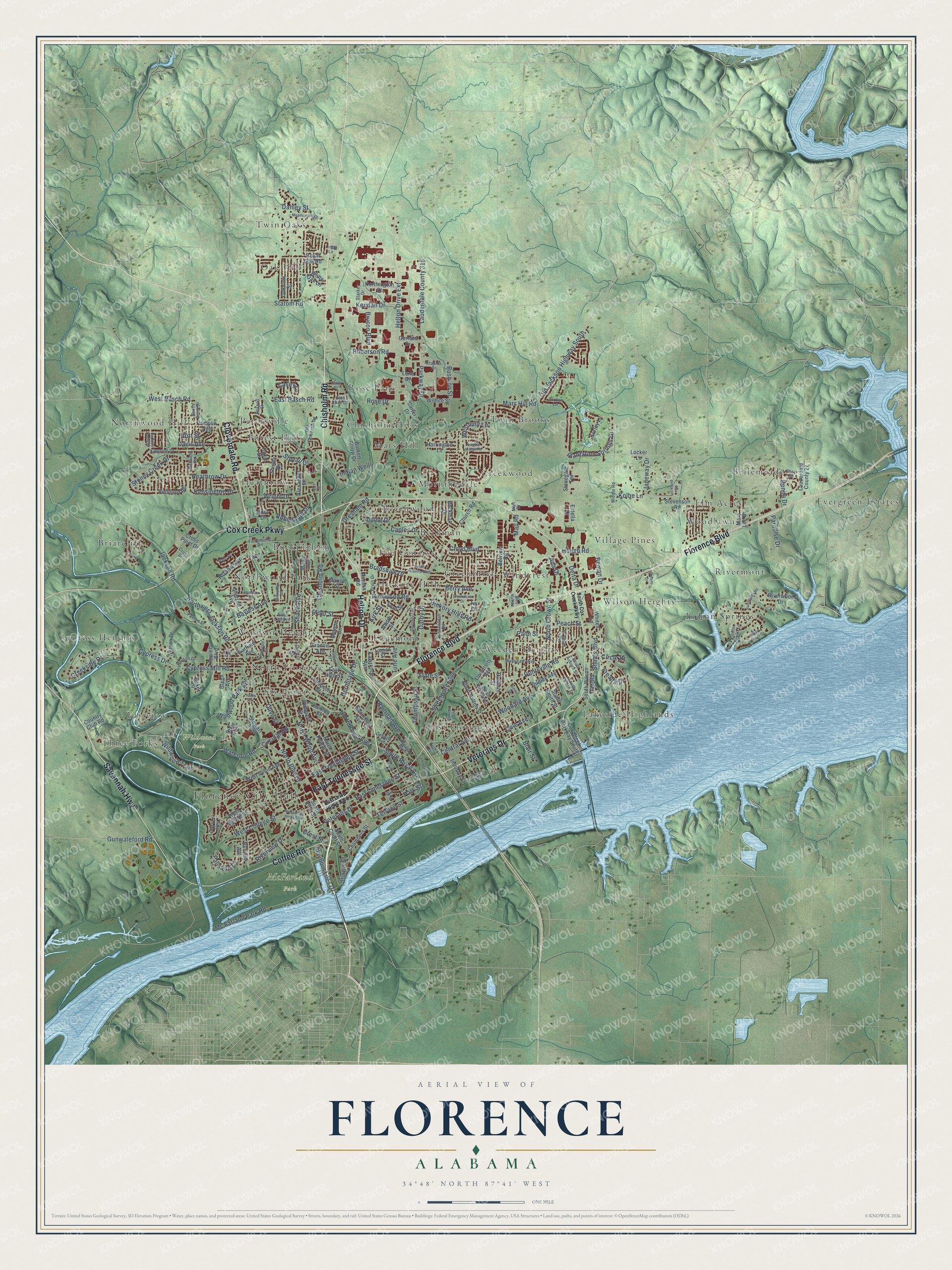
This beautifully detailed map of Florence, Alabama was created in 2026 using aerial imagery combined with modern topographical, census, street and landmark data. It’s a one-of-a-kind view of Florence that combines accurate data with a vintage aesthetic. The map shows every building in its true location, many of the roads carry their names, and the shaded topographic relief shows the shape of the land.
Explore an aerial view of Florence, Alabama
On the map you’ll find Florence City Hall, McFarland Park, Wildwood Park, Beckman, Beechwood, Bellemeade, Briarcliff, Buckingham, Chisholm Hills, Creekwood, Cypress Heights, East Florence, and more. If you look closely you can even find your house accurately drawn in its correct location. Zoom in on the preview to look for yours.
Did you know this piece of Florence, Alabama history?
From Encyclopediaofalabama.org: "The town was named after Florence, in Tuscany, Italy, by Italian engineer Ferdinand Sannoner, who surveyed the land for the settlement."
Take a closer look at the Florence map
Street and place names on the Florence, Alabama map
These names are printed on the map of Florence, Alabama.
Places: Florence City Hall, McFarland Park, Wildwood Park, Beckman, Beechwood, Bellemeade, Briarcliff, Buckingham, Chisholm Hills, Creekwood, Cypress Heights, East Florence, Edgemont, Elm Acres, Evergreen Estates, Fairview, Forest Hills, Greenbrier, Heathrow, Hickory Hills, Indian Springs, Lakeside Highlands, Mars Hill, Morningdale, North Florence, Northwood Hills, Northwood Park, Oak Hill, Petersville, Rivermont, Rose Park, Six Points, The Cedars, Three Forks, Twin Brooks, Twin Oaks, Village Pines, Weeden Heights, Wilson Heights, Windcrest, Windsor Heights and Woodlawn.
Streets and roads: Florence Boulevard, Chisholm Road, Veterans Drive, Cloverdale Road, East Tennessee Street, Helton Drive, Cox Creek Parkway, Savannah Highway, Coffee Road, North Royal Avenue, South Royal Avenue, Terrace Street.
More street names, A to Z
Access Road, Aetna Street, Alexander Street, Alpine Drive, Ana Drive, Andre Street, Appleby Boulevard, Bainbridge Road, Baker Drive, Baldwin Street, Bayless Avenue, Beckman Drive, Belview Road, Beman Drive, Benita Drive, Benji Road, Berry Avenue, Beverly Avenue, Blair Street, Blaze Drive, Bradshaw Drive, Britt Street, Broken Arrow Drive, Bruin Drive, Bryson Boulevard, Caples Drive, Carter Drive, Carver Heights, Casey Lane, Center Point Lane, Central Avenue, Chambers Street, Chickasaw Drive, Church Road, Circle Drive, Circular Road, Clayborn Liles Drive, Cloyd Boulevard, Cole Avenue, Commerce Street, Country Club Road, Courtney Avenue, Cox Creek Parkway South, Creekside Drive, Crest Street, Cross Point Drive, Cross Street, Cypress Creek Drive, Cypress Drive, Cypress Mill Road, Danley Street, Darby Drive, Davis Avenue, Delano Drive, Delta Drive, Dixie Avenue, Dora Drive, Dudley Avenue, East Drive Hicks Boulevard, East High Street, East Lee Avenue, East Limestone Street, East Rasch Road, East Rose Drive, East Tombigbee Street, Elder Street, Elm Street, Estella Court, Fairground Road, Ford Street, Francis Avenue, Freada Drive, Garfield Avenue, Georgia Avenue, Gerrard Drive, Glenn Avenue, Gresham Road, Gunwaleford Road, Haley Avenue, Hampton Avenue, Harrington Lane, Heathrow Drive, Helton Drive Extension, Henson Drive, Hermitage Drive, Hickory Hills Road, Hough Road, Houston Street, Huntsville Road, Illinois Street, Indian Springs Drive, Indian Wells, Industry Street, Ivy Lane, Jackson Road, James Street, Janeway Drive, Jones Street, Jordan Lane, Karley Lane, Kendall Drive, Kendrick Street, Kensington Drive, Kingston Drive, Kirk Street, Knights Bridge Road, Kolbe Lane, Lamar Street, Lane Drive, Larry Street, Lauderdale County 27, Lauderdale County 315, Lawrence Avenue, Lindy Lane, Locker Lane, Lockland Road, Mahogany Avenue, Mall Drive, Mall Road, Malone Circle, Maple Avenue, Marion Street, Mars Hill Road, Martin Street, Mary Lee Drive, McBurney Drive, Mc Farland Park Road, Meadow Hill Drive, Middle Road, Nelson Drive, North Crown Street, Northington Court, North Kirkman Street, North Patton Street, North Pine Street, North Poplar Street, North Prairie Street, Northwest Jackson Road, North Wood Avenue, Oakview Street, Old Chisholm Road, Old Jackson Highway South, Olive Street, Palisade Drive, Palm Street, Pamplin Avenue, Paradise Drive, Parc Place, Park Street, Parkway Drive, Paxton Street, Peach Street, Pickens Avenue, Plantation Springs Drive, Plum Street, Prospect Street, Railroad Avenue, Reddoch Road, Redfield Road, Rickwood Road, Ridge Avenue, Riverview Drive, Riverwood Drive, Roberson Road, Roberts Lane, Robinhood Drive, Rose Drive, Roxie Drive, Royal Oak Road, Rushton Street, Russell Street, Sannoner Avenue, Shade Avenue, Shenandoah Road, Sherrod Avenue, Shirley Drive, Shoals Boulevard, Simpson Street, South Auburn Street, South Court Street, South Cox Creek Parkway, South Fulton Street, South Pine Street, South Scott Drive, South Sequoia Boulevard, South Smith Street, South Wilson Dam Road, Staples Drive, Starkey Drive, State Street, Statom Road, Stevenson Road, Stewart Avenue, Stonegate Terrace, Stoney Creek Drive, Stovall Drive, Sweetwater Avenue, Thompson Street, Tune Avenue, University Avenue, Virginia Avenue, Vulcan Avenue, Waterloo Road, Westbury Lane, West College Street, West Drive Hicks Boulevard, West Irvine Avenue, West Mall Road, West Mobile Street, West Rasch Road, White Oak Lane, Whites Lane, Wildwood Park Road, Wildwood Trail, Wilhite Street, Woodard Avenue, Wright Drive, Wyers Drive.
See the Florence, Alabama map on a wall
The Florence map as an 18 x 24 inch print in a black frame.

This beautifully detailed map of Florence makes an attractive addition to your office, library, or den, and it can even be used to teach children the geography and history of the area. It also makes a great gift for anyone with Florence roots. When you’re done exploring, click here to get your copy of the Florence map.