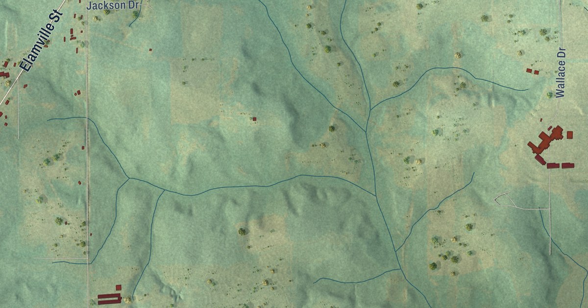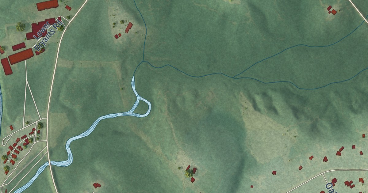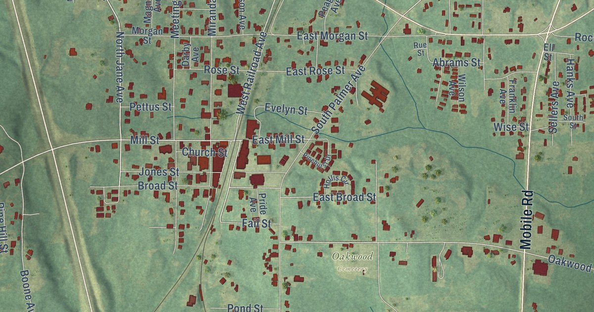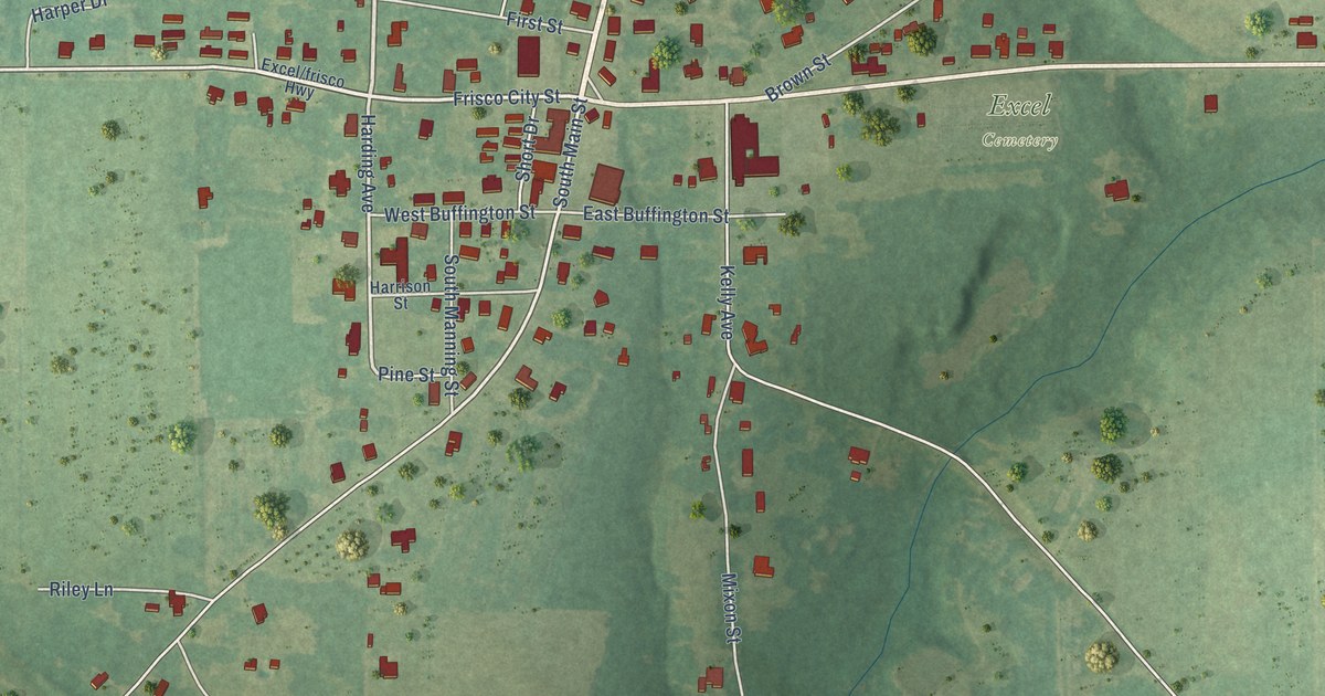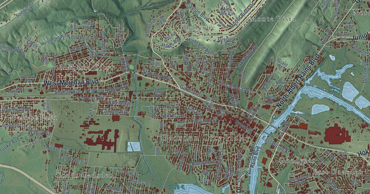
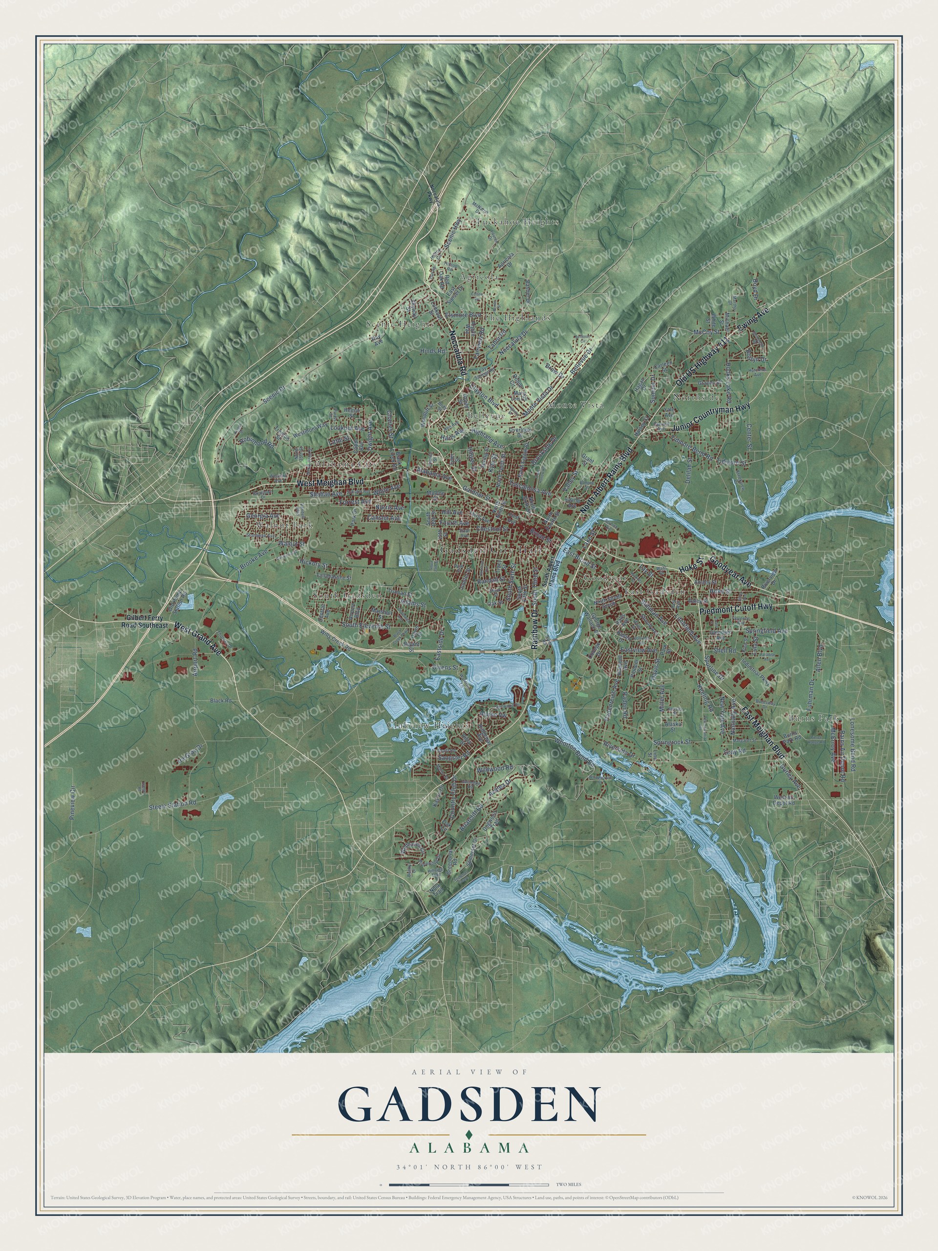
This beautifully detailed map of Gadsden, Alabama was created in 2026 using aerial imagery combined with modern topographical, census, street and landmark data. It’s a one-of-a-kind view of Gadsden that combines accurate data with a vintage aesthetic. The map shows every building in its true location, many of the roads carry their names, and the shaded topographic relief shows the shape of the land.
Explore an aerial view of Gadsden, Alabama
On the map you’ll find Gadsden City Hall, Agricola, Alabama City, Bellevue, Burns Park, Clubview Heights, East Gadsden, Goodyear, Monte Vista, Northside, Scenic Heights, South Gadsden, and more. If you look closely you can even find your house accurately drawn in its correct location. Zoom in on the preview to look for yours.
Did you know this piece of Gadsden, Alabama history?
From Encyclopediaofalabama.org: "When Gadsden was officially incorporated as a county seat in 1867, it lay within Baine County, which was carved out of DeKalb County."
Take a closer look at the Gadsden map
Street and place names on the Gadsden, Alabama map
These names are printed on the map of Gadsden, Alabama.
Places: Gadsden City Hall, Agricola, Alabama City, Bellevue, Burns Park, Clubview Heights, East Gadsden, Goodyear, Monte Vista, Northside, Scenic Heights, South Gadsden, The Highlands, Tuckahoe Heights and Walnut Park.
Streets and roads: Noccalula Road, Piedmont Cutoff Highway, Hoke Street, West Grand Avenue, East Meighan Boulevard, West Meighan Boulevard, Rainbow Drive, Ewing Avenue, Old US Highway 411, North Albert Rains Boulevard, Junior Countryman Highway, Goodyear Avenue.
More street names, A to Z
14th Street, Adams Street, Agricola Drive, Airport Boulevard, Airport Road, Alabama Avenue, Alaska Street, Alcott Road, Allen Boulevard, Alpine Vw, Ann Avenue, Ansley Street, Argyle Way, Azalea Drive, Basher Drive, Becky Drive, Bellevue Circle, Bellevue Drive, Black Creek Parkway, Black Creek Road, Black Road, Body Street, Boyd Drive, Briarcliff Road, Bridlewood Drive, Broad Street, Broadway Avenue, Brooke Avenue, Brookside Drive, Brow Drive, Bryant Street, Burns Park Road, Burnsway Drive, Cabot Avenue, California Street, Cansler Avenue, Carleen Street, Center Street, Central Avenue, Charles Street, Chestnut Street, Church Street, Clayton Boulevard, Cliff Road, Coats Street, College Drive, Country Club Drive, Davis Drive, Davis Street, Delilah Street, Dogwood Trail, Dwight Avenue, East Broad Street, Eastside Drive, East Sunset Drive, Eastview Avenue, Edison Avenue, Elmore Street, Elsmore Boulevard, Fairview Road, First Avenue, Florence Avenue, Forrest Avenue, Fourth Avenue, Fuhrman Drive, Gardner Street, George Wallace Drive, Georgia Avenue, Gilbert Ferry Road Southeast, Glendale Avenue, Gould Street, Grant Street, Graves Street, Gray Road, Greenbriar Road, Gurley Avenue, Gwindale Road, Hagan Drive, Halsey Street, Hanger Road, Haralson Avenue, Harts Avenue, Harvard Avenue, Helton Street, Hickory Street, Highland Avenue, Hill Avenue, Hillmont Avenue, Hillside Trail, Hilltop Circle, Hilltop Road, Hillyer Street, Hinds Road, Hooks Lake Road, Hutchins Avenue, Industrial Parkway, Ira Gray Drive, Jupiter Street, Kansas Street, Kay Lu Drive, Keeling Road, Kentucky Avenue, Knight Drive, Kreekview Drive, Kyle Street, Lake Street, Lakewood Drive, Lauren Drive, Lay Springs Road, Lay Street, Line Street, Litchfield Avenue, Little Street, Lonesome Bend Road, Lookout Avenue, Lookout Street, Lugenia Drive, Lula Street, Malone Street, Manor Street, Margaret Street, Marshall Street, Martha Drive, Mary Lou Circle, McCoy Street, McErroy Avenue, McNaron Drive, Michael Street, Miller Avenue, Monte Vista Drive, New York Avenue, Ninth Street South, Noccalula Drive, Noccalula Parkway, Nola Trail, Norris Avenue, North 32nd Street, North 35th Street, North Eighth Street, North Fourth Street, North Ninth Street, North Sixth Street, North Tenth Street, Nuckolls Street, Nunnally Avenue, Oak Circle, Oak Street, Old Pump Station Road, Overlook Drive, Owens Street, Owls Hollow Road, Paden Drive, Padenreich Avenue, Paden Road, Paradise Avenue, Pariss Street, Park Avenue, Park Drive, Park Street, Pennsylvania Avenue, Pierce Range Road, Pine Street, Pineview Circle, Pioneer Street, Rains Air Depot Road, Raley Street, Ralls Avenue, Randall Street, Ray Avenue, Red Oak Road, Renee Street, Ridgeway Avenue, Riley Street, River Road, Riverside Drive, River Street, Riverview Drive, Robin Circle, Robinhood Road, Roselawn Drive, Rose Street, Roslyn Drive, Sangster Road, Scenic Drive, Scenic Highway, Schuler Avenue, Seventh Avenue, Shahan Avenue, Shell Road, Silver Avenue, Sixth Avenue, Skyway Street, Slack Street, Somerset Chase, Somerset Drive, South 15th Street, South 16th Street, South Albert Rains Boulevard, South Eleventh Street, South Fifth Street, South Sixth Street, South Third Street, Springdale Road, Springfield Avenue, Springrock Street, Spring Street, Spurline Drive, Steele Station Road, Stillman Avenue, Stonewall Avenue, Stroud Avenue, Summit Drive, Tabor Road, Tallahassee Street, Third Avenue, Thomas Drive, Tidmore Bend Road, Tidmore Street, Tracy Street, Trenton Street, Truman Street, Tuscaloosa Avenue, Tyler Street, Valley Street, Vandell Boulevard, Wahl Street, Walnut Street, Waterford Lane, West Air Depot Road, Western Avenue, Westmont Way, Whippoorwill Drive, White Avenue, White Street, Whorton Bend Road, Wildhaven Circle, Wildwood Road, Wills Creek Road, Woodliff Street, Yale Avenue.
See the Gadsden, Alabama map on a wall
The Gadsden map as an 18 x 24 inch print in a black frame.

This beautifully detailed map of Gadsden makes an attractive addition to your office, library, or den, and it can even be used to teach children the geography and history of the area. It also makes a great gift for someone who left Gadsden and still calls it home. When you’re done exploring, click here to get your copy of the Gadsden map.