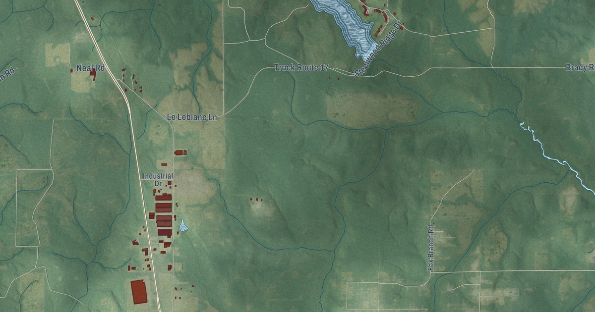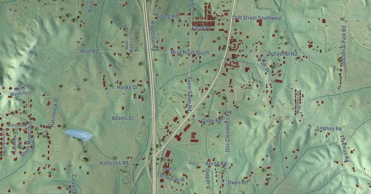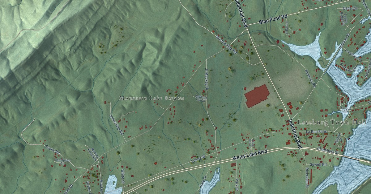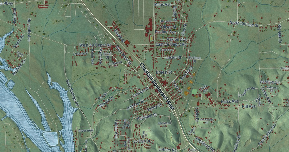
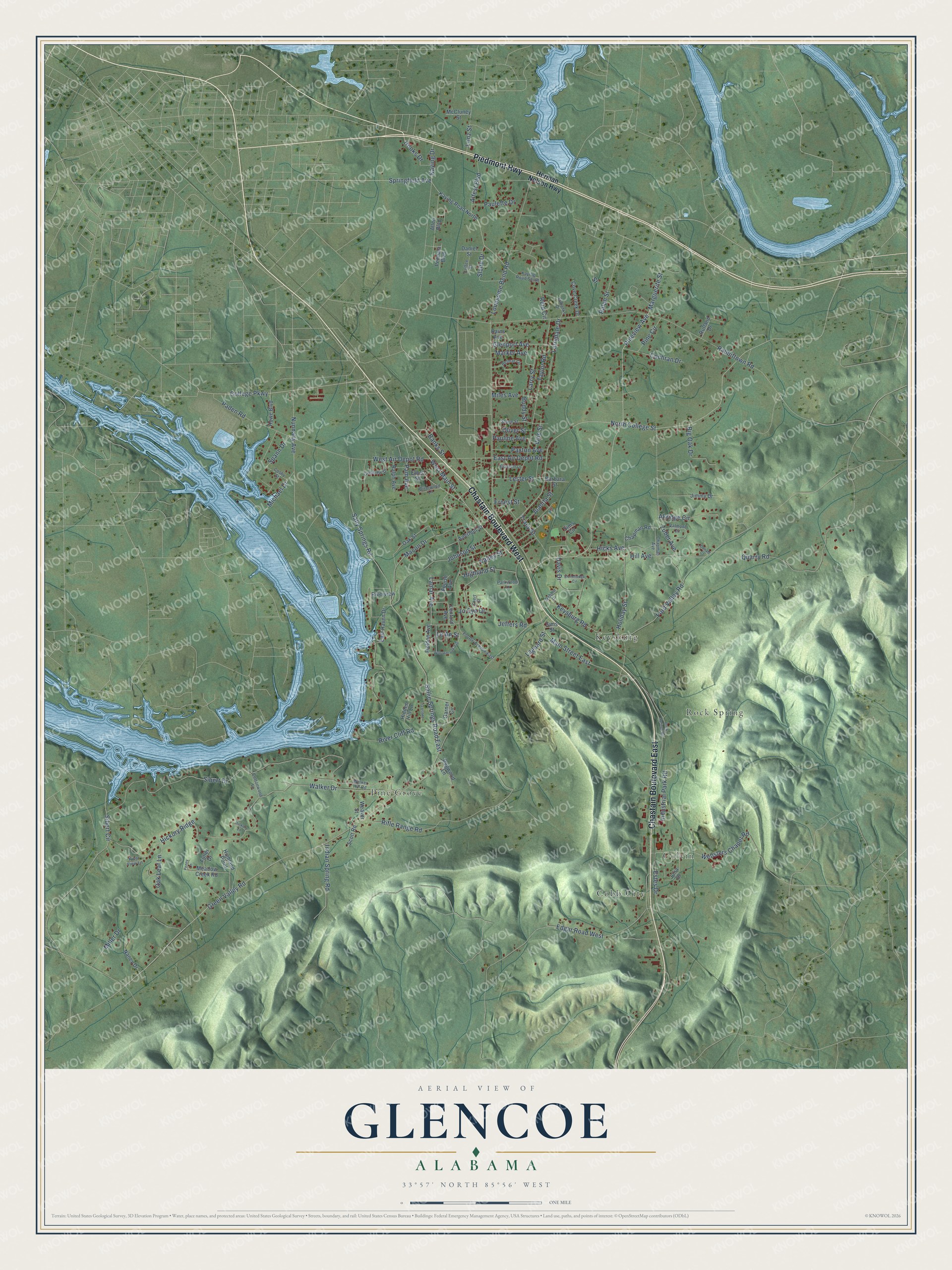
This beautifully detailed map of Glencoe, Alabama was created in 2026 using aerial imagery combined with modern topographical, census, street and landmark data. It's a modern aerial view of Glencoe in Etowah County, Alabama, that combines modern data with a vintage aesthetic. The roads feature printed names, and if you look closely you can find your exact house accurately shown in its correct location.
Explore an aerial view of Glencoe, Alabama
On this map you'll find Cobb City, Colvin, Keysburg, Pine Grove, Rock Spring, Chastain Boulevard East, Chastain Boulevard West, Piedmont Highway, Pineview Avenue, West Main Street, Springfield Avenue, Marguerite Street, and more. Each red shape is a building, so zoom in on the preview and look for yours.
Glencoe has a story worth telling. The record at encyclopediaofalabama.org puts it this way: "The settlement began to expand after a rock quarry was established in the area in 1853 and the Louisville & Nashville Railroad came through the town."
Glencoe is a city in Etowah County. The Census Bureau counted 5,372 people here in 2020.
Take a closer look at the Glencoe map
Names on this map
These names are printed on this map.
Places: Cobb City, Colvin, Keysburg, Pine Grove and Rock Spring.
Streets and roads: Chastain Boulevard East, Chastain Boulevard West, Piedmont Highway, Pineview Avenue, West Main Street, Springfield Avenue, Marguerite Street, North College Street, Hooks Drive, Kaying Drive, Nunnally Avenue, Green Valley Road.
More street names, A to Z
Aderholt Street, Akridge Circle, Alfest Boulevard, Allen Boulevard, Banks Street, Barbara Street, Belmar Circle, Big Oak Drive, Briarwood Lane, Buddy Street, Chapman Avenue, Chapman Road, Chert Street, Clubview Drive, Cochran Drive, Coffee Street, College Parkway, Cosby Street, Cottonwood Lane, Cove Creek Drive, Daniel Street, Davis Drive, Debbie Drive, Dogwood Lane, Donald Court, East Air Depot Road, East Haven Drive, Edgar Road West, Elizabeth Lane, Ernest Street, Estes Drive, Ethel Street, Eubanks Drive, Fieldon Avenue, Ford Valley Road, Fourth Avenue, Fourth Avenue East, Fuller Drive, Garner Circle, Glenport Avenue, Herman Nelson Highway, Hickory Lane, Hickory Ridge, Hicks Avenue, Hidden Hill Lane, Highland Point, Highland Street, Hill Avenue, Holiday Street, Howe Boulevard, Indian Spring Road, Industrial Park Road, Jeffers Road, Jimmy Drive, Jo Cyn Drive, Johnson Street, Juanita Street, Julia Drive, Justin Drive, Kaying Road North, Kaying Road South, Keysburg Road, Laguard Street, Lamar Avenue, Larrydale Drive, Larry Street, Le An Street, Lenford Avenue, Lester Street, Lonesome Bend Road, Lonz Street, Macon Drive, Main Street East, Marker Avenue, McCluney Street, Meadow Creek Road, Michael Drive, Miles Avenue, Miller Drive, Nancy Drive, Oak Leaf Lane, Oak Street, Oliver Street, Paden Road, Pam Avenue, Parkwood Lane, Paulette Drive, Pauline Avenue, Paxton Avenue, Pennala Boulevard, Penny Lane, Pine Circle, Quarry Road, Rabbittown Road, Rains Avenue, Ralph Avenue, Ralph Street, Reid Circle, Rifle Range Road, River Cliff Road, Riverview, River View Lane, Rock Springs Road, Rutland Drive, Sallie Springs Road East, Sally Springs Road, Scott Road, Sibert Circle, Sibert Drive, Sims Circle, Sims Street, Slade Drive, Spann Drive, Stonehedge Circle, Stone Street, Street, Taylor Road, Tracy Street, Valley Street, Valmont Circle, Vine Street, Walker Drive, Walker Hill Road, Weaver Street, Websters Chapel Road, West Air Depot Road, Willowbrook Avenue, Zuber Avenue.
Created by KNOWOL in 2026. The buildings are small red shapes, the roads carry their printed names, and shaded relief shows the shape of the land. The title panel reads "AERIAL VIEW OF GLENCOE ALABAMA" with 33°57' NORTH 85°56' WEST.
It looks right in a kitchen, an office or a den, and it's a gift for anyone who grew up in Glencoe or moved away. Open the preview and find your street. See sizes and frames for the Glencoe map.