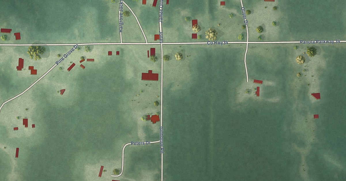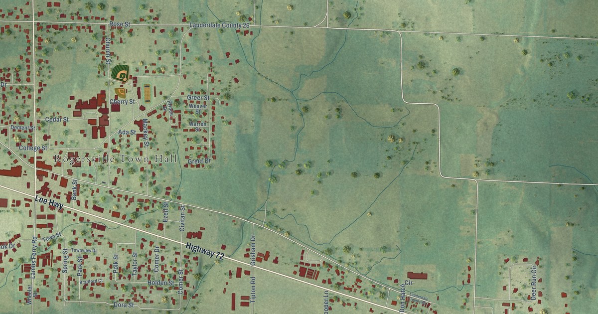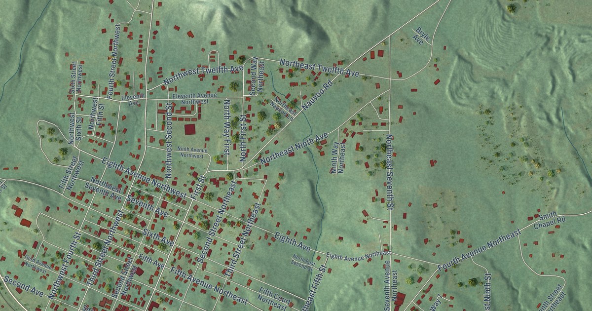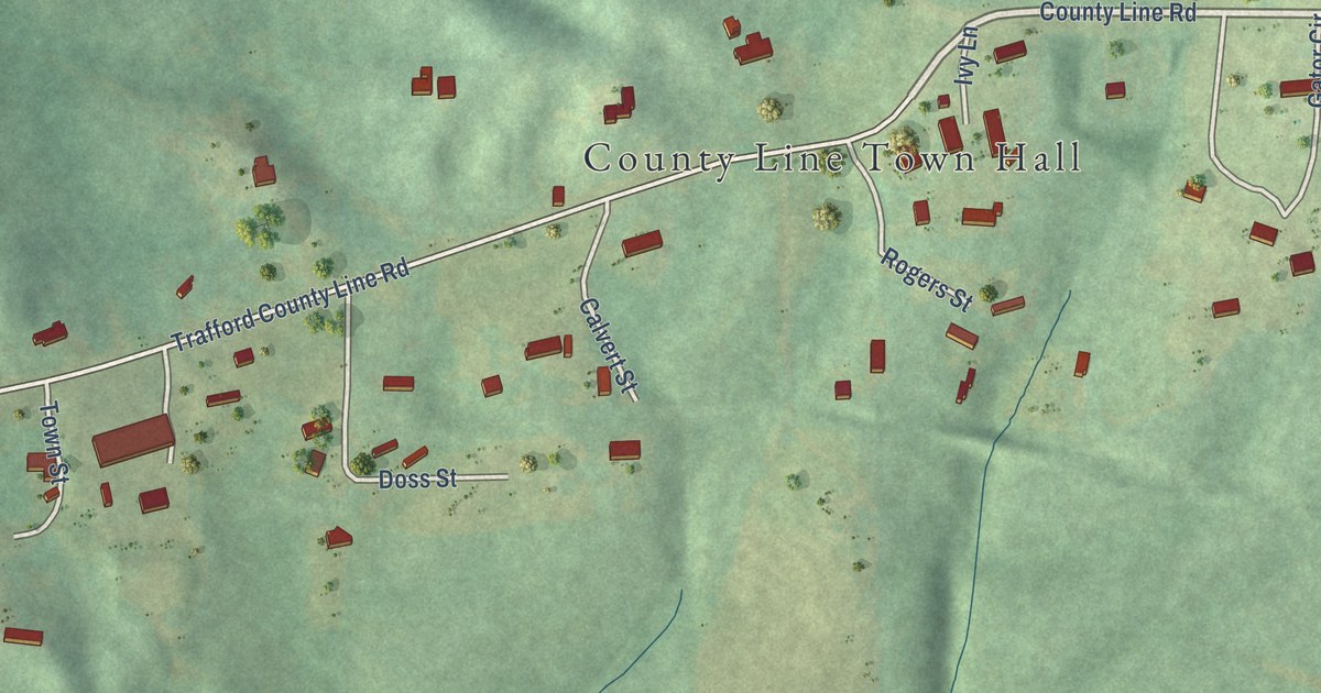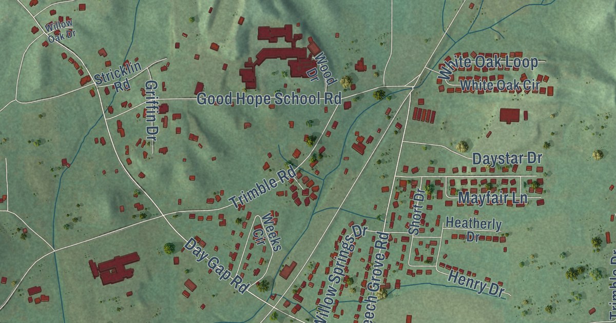
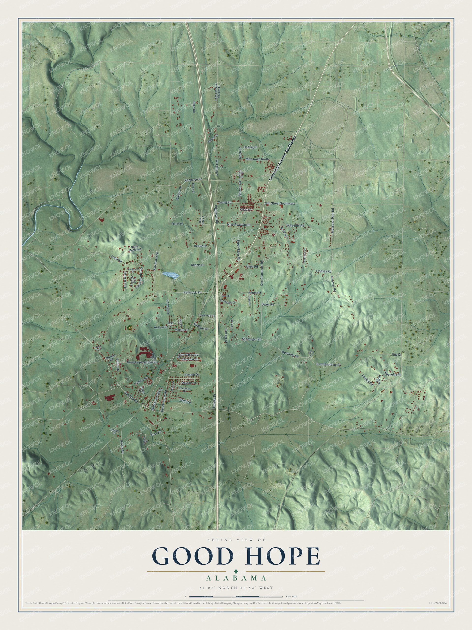
This beautifully detailed map of Good Hope, Alabama was created in 2026 using aerial imagery combined with modern topographical, census, street and landmark data. It’s a one-of-a-kind view of Good Hope that combines accurate data with a vintage aesthetic. The map shows every building in its true location, many of the roads carry their names, and the shaded topographic relief shows the shape of the land.
Explore an aerial view of Good Hope, Alabama
On the map you’ll find Cherokee Avenue Southwest, Industrial Park Road, Mayfair Lane, Mize Road South, Day Gap Road, Calvert Road, Reid Road, Beech Grove Road, Teem Road, Schwaiger Road, Lindsey Road, Doc Clemmons Road, and more. If you look closely you can even find your house accurately drawn in its correct location. Zoom in on the preview to look for yours.
Did you know this piece of Good Hope, Alabama history?
Pioneer Baptists founded a Missionary Baptist congregation in 1842 and chose the name Good Hope. Its first log meetinghouse also served as a weekday school for half a century before being rebuilt in 1896. That’s from the City of Good Hope history page.
Take a closer look at the Good Hope map
Street names on the Good Hope, Alabama map
These names are printed on the map of Good Hope, Alabama.
Streets and roads: Cherokee Avenue Southwest, Industrial Park Road, Mayfair Lane, Mize Road South, Day Gap Road, Calvert Road, Reid Road, Beech Grove Road, Teem Road, Schwaiger Road, Lindsey Road, Doc Clemmons Road.
More street names, A to Z
24th Street Southwest, Adams Drive, Alex Drive, Allred Road, Auston Drive, Blue Bird Lane, Boike Drive, Buettner Drive, Chad Drive, Clarendon Road, Cupp Drive, Cupp Road, Daystar Drive, Doss Road, East Moehring Drive, Eastview Boulevard, Ege Drive, Freeman Road, Gold Mine Drive, Good Hope School Road, Griffin Drive, Harbison Drive, Hatchcock Drive, Hathcock Road, Heatherly Drive, Henke Drive, Henry Drive, Higgerson Road, Hinkle Road, Hoeing Road, Hoenig Drive, Hoenig Road, Knight Drive, Knollwood Drive, Leonard Road, Logan Avenue Southwest, Lynn Drive, Madison Drive, Mann Drive, Megan Lane, Midfield Drive, Mize Road North, Moehring Road, North Montcrest, Owen Road, Reynolds Road, Robinson Drive, Ryan Road, Sarah Street, Schaeffel Road, Schwaiger Drive, Scott Drive, Short Drive, South Montcrest, Stewart Drive, Stewart Road, Stricklin Road, Super Saver Road, Town Hall Drive, Training Ctr Drive, Trimble Drive, Trimble Road, Tucker Drive, Waldrip Drive, Weeks Circle, White Oak Circle, White Oak Loop, Willow Oak Drive, Willow Springs Drive, Wood Drive, Young Road.
See the Good Hope, Alabama map on a wall
The Good Hope map as an 18 x 24 inch print in a black frame.

This beautifully detailed map of Good Hope makes an attractive addition to your office, library, or den, and it can even be used to teach children the geography and history of the area. It also makes a great gift for someone who left Good Hope and still calls it home. When you’re done exploring, click here to get your copy of the Good Hope map.