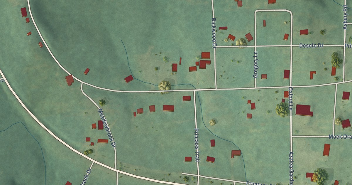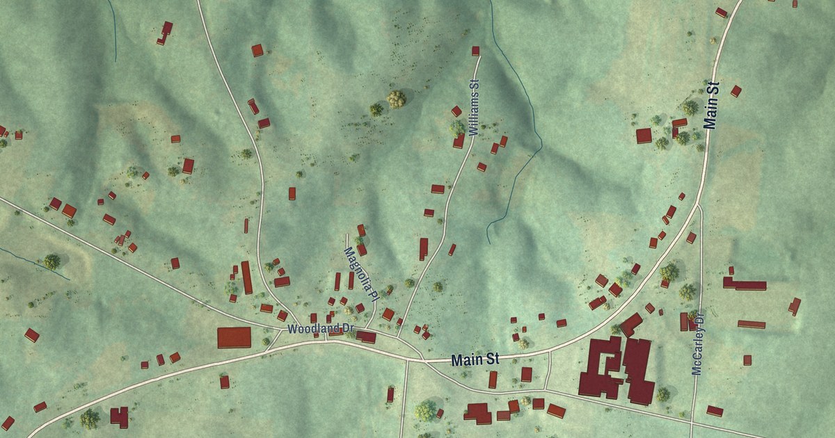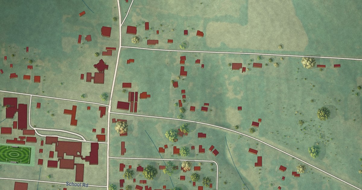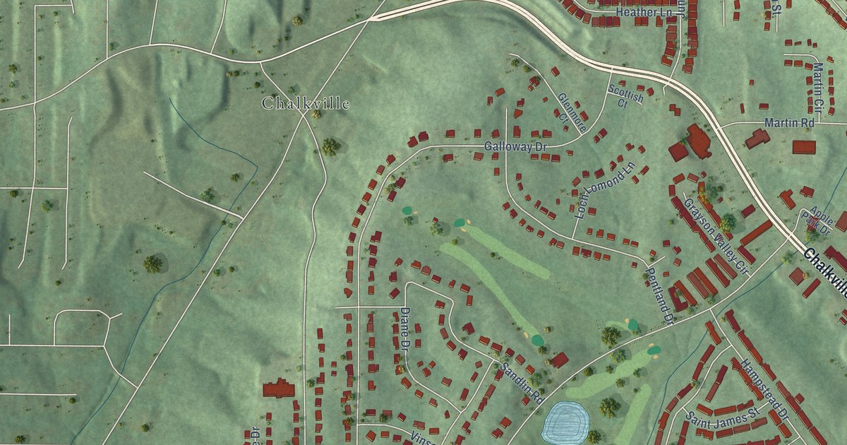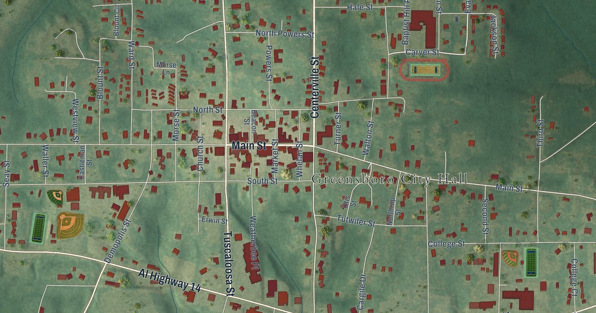
This beautifully detailed map of Greensboro, Alabama was created in 2026 using aerial imagery combined with modern topographical, census, street and landmark data. It’s a one-of-a-kind view of Greensboro that combines accurate data with a vintage aesthetic. The map shows every building in its true location, many of the roads carry their names, and the shaded topographic relief shows the shape of the land.
Explore an aerial view of Greensboro, Alabama
On the map you’ll find Greensboro City Hall, Oakwood Cemetery, and Centerville Saint Co Road 25, along with Centerville Street, Main Street, Faunsdale Road, Al Highway 14, State Street, Tuscaloosa Street, Demopolis Street, Hobson Street, Carver Street, and more. If you look closely you can even find your house accurately drawn in its correct location. Zoom in on the preview to look for yours.
Did you know this piece of Greensboro, Alabama history?
Martin Luther King Jr. came to Greensboro during his civil rights work in Alabama. In 1968, after he spoke in the city, he hid from Ku Klux Klan members. He took shelter in the home of the Burroughs family, who were local activists and old friends. That house is now the Safe House Black History Museum.
Take a closer look at the Greensboro map
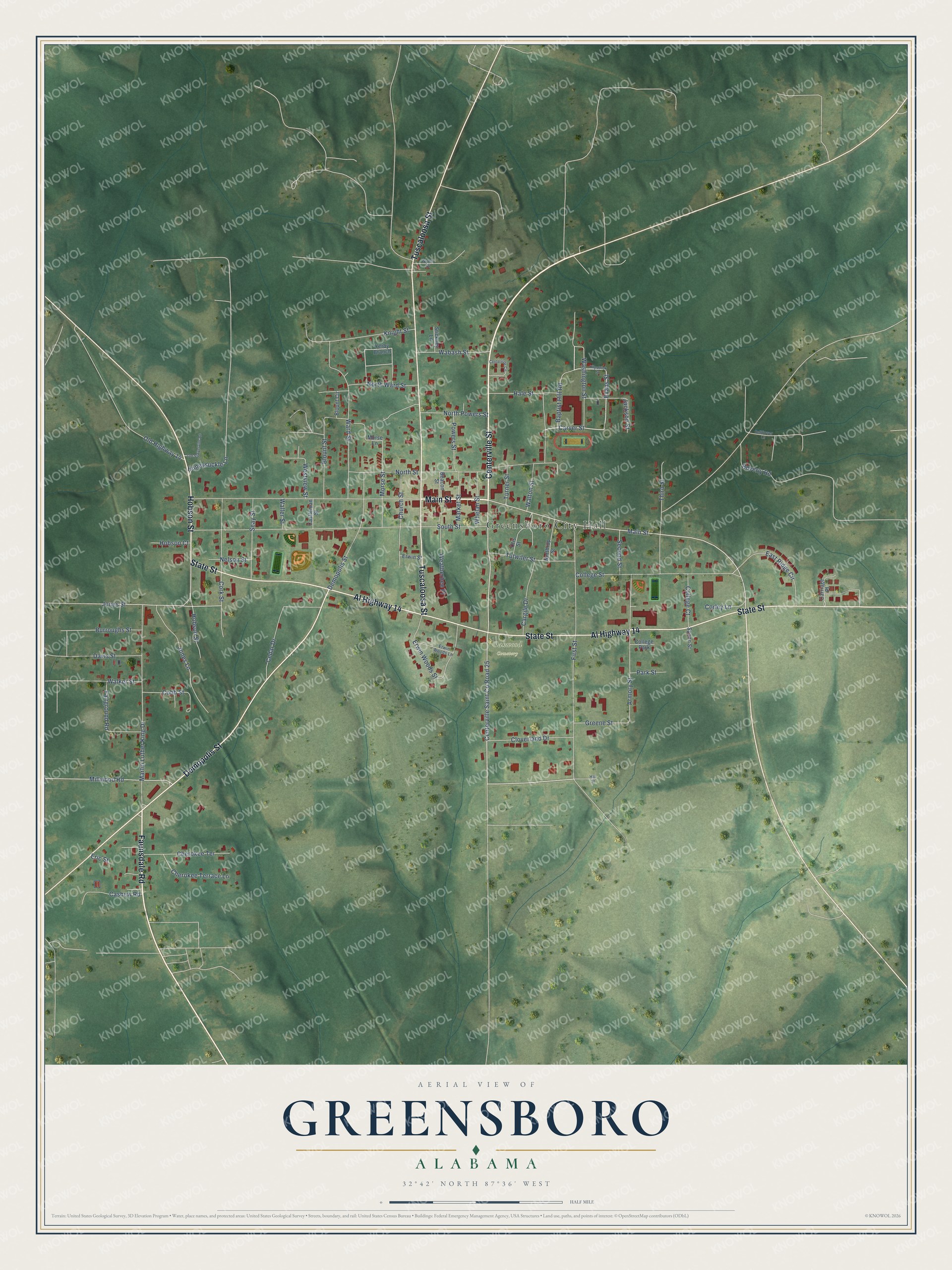
Street and place names on the Greensboro, Alabama map
These names are printed on the map of Greensboro, Alabama.
Places: Greensboro City Hall, Oakwood Cemetery and College Park.
Streets and roads: Centerville Street, Main Street, Faunsdale Road, Al Highway 14, State Street, Tuscaloosa Street, Demopolis Street, Hobson Street, Centerville Saint County Road 25, Carver Street, Evans Street, Washington Street.
More street names, A to Z
Armory Street, Baptist Hill Road, Beacon Street, Bellflower Lane, Beverly Road, Blount Circle, Blount Street, Burroughs Street, Cargile Drive, Carriage Place, Cashew Road, Castleman Street, Cedar Drive, Centerville Circle, Cherokee Terrace, Cherokee Terrace Lane, Church Street, Cloverland Drive, Cobb Street, College Court, College Street, Cork Street, Corley Lane, Davis Street, East Ridge Circle, Eric Street, Erwin Street, Erwin Woods Lane, Erwin Woods Street, Fairground Road, First Street, Greene Street, Hale Street, Hall Street, Hobson Court, Honeysuckle Lane, Jackson Street, Jones Lane, Jones Street, Kilpatrick Street, Knight Street, Market Street, Martin Luther King Drive, Millwood Road, Morse Lane, Morse Street, Nelson Street, North Powers Street, Northrup Street, North Street, North Ward Street, Old Highway 14, Old Sawyerville Road, Otis Street, Park Street, Powers Street, Seay Street, Second Street, South Street, Spann Street, Stickney Lane, Third Street, Turner Street, Tutwiler Street, Wabash Street, Walker Street, Waller Street, Walton Street, Ward Street, Weatherbee Place, Westview Street, Whelan Street, Wynn Street, Yerby Branch.
See the Greensboro, Alabama map on a wall
The Greensboro map as an 18 x 24 inch print in a black frame.

This beautifully detailed map of Greensboro makes an attractive addition to your office, library, or den, and it can even be used to teach children the geography and history of the area. It also makes a great gift for someone who left Greensboro and still calls it home. When you’re done exploring, click here to get your copy of the Greensboro map.