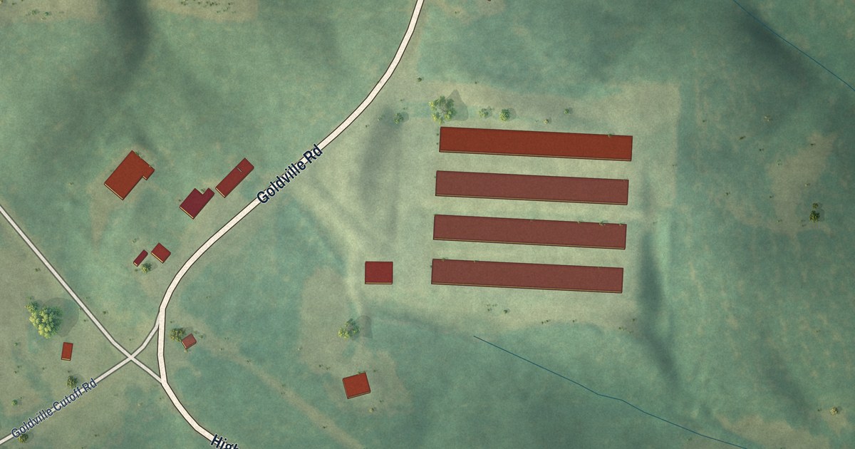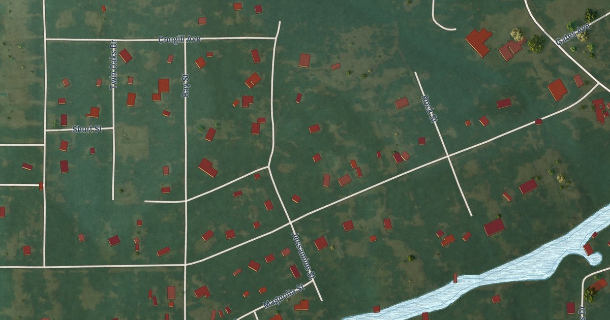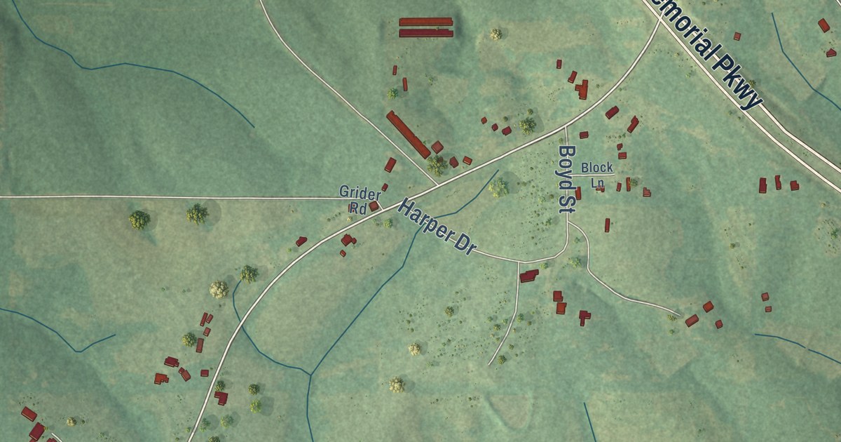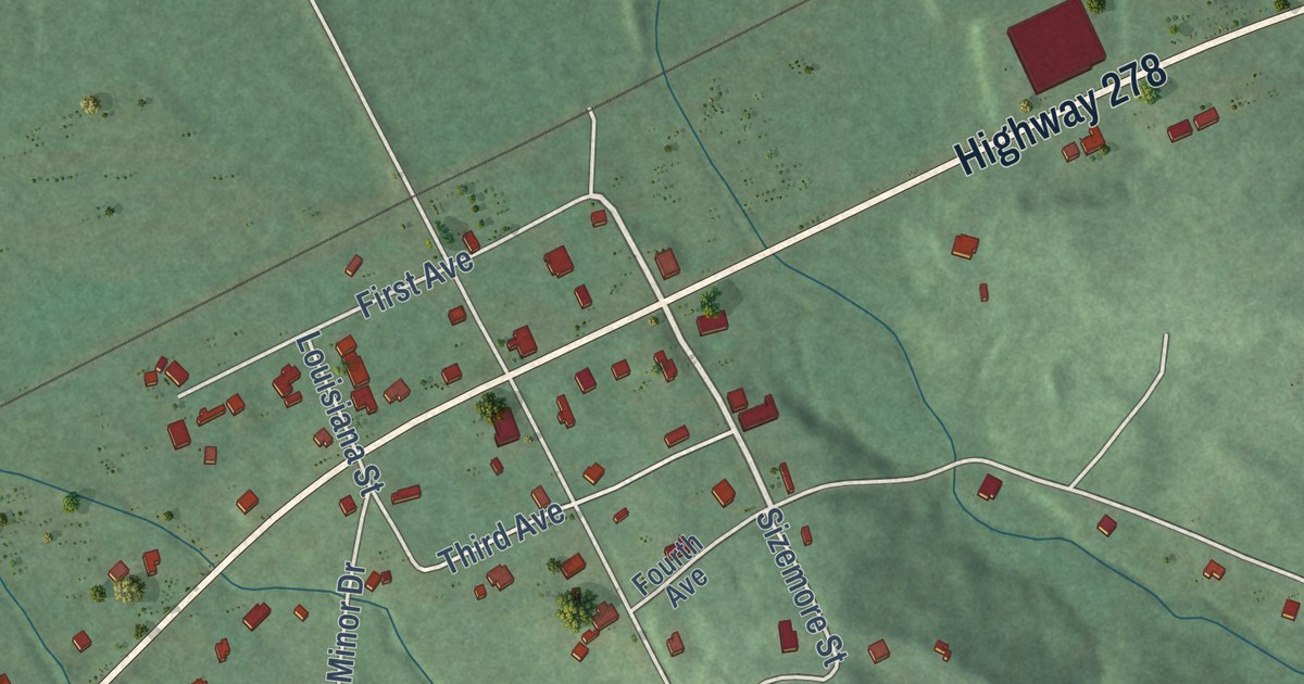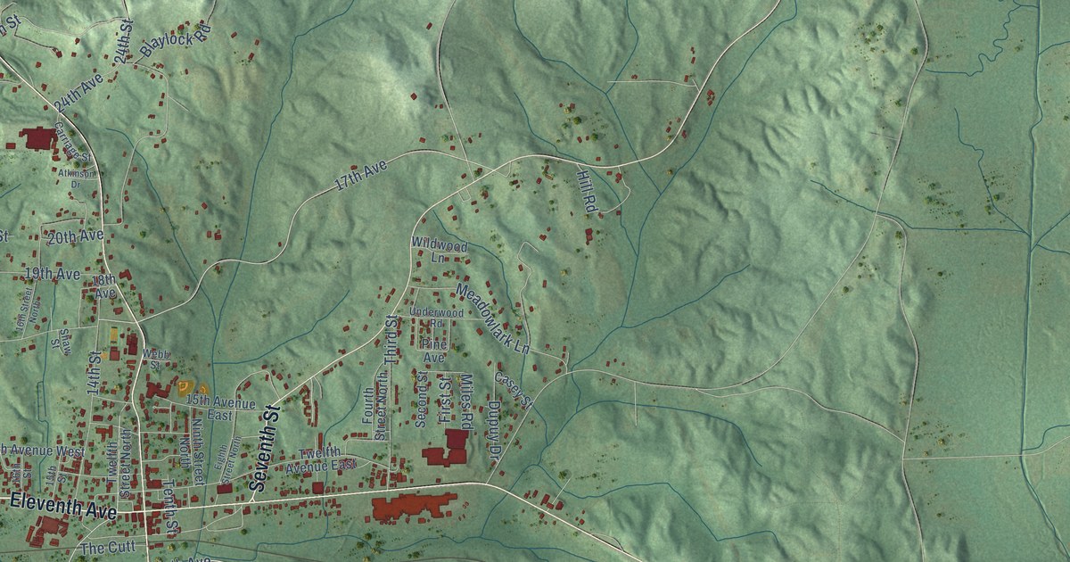
This beautifully detailed map of Guin, Alabama was created in 2026 using aerial imagery combined with modern topographical, census, street and landmark data. It’s a one-of-a-kind view of Guin that combines accurate data with a vintage aesthetic. The map shows every building in its true location, many of the roads carry their names, and the shaded topographic relief shows the shape of the land.
Explore an aerial view of Guin, Alabama
On the map you’ll find Eleventh Avenue, Seventh Street, Sixth Avenue East, Saw Mill Road, Sixth Avenue, Ninth Avenue, Wright Drive, Burleson Road, 17th Avenue, Ash Street, 24th Street, County Highway 54, and more. If you look closely you can even find your house accurately drawn in its correct location. Zoom in on the preview to look for yours.
Did you know this piece of Guin, Alabama history?
Guin takes its name from Dr. Jeremiah Guin, a young country doctor from Tuscaloosa County. In 1870 he bought Haley’s Trading Post, a store serving cattle drovers bound for markets in Mississippi. He then moved the center of the settlement about a mile east.
Take a closer look at the Guin map
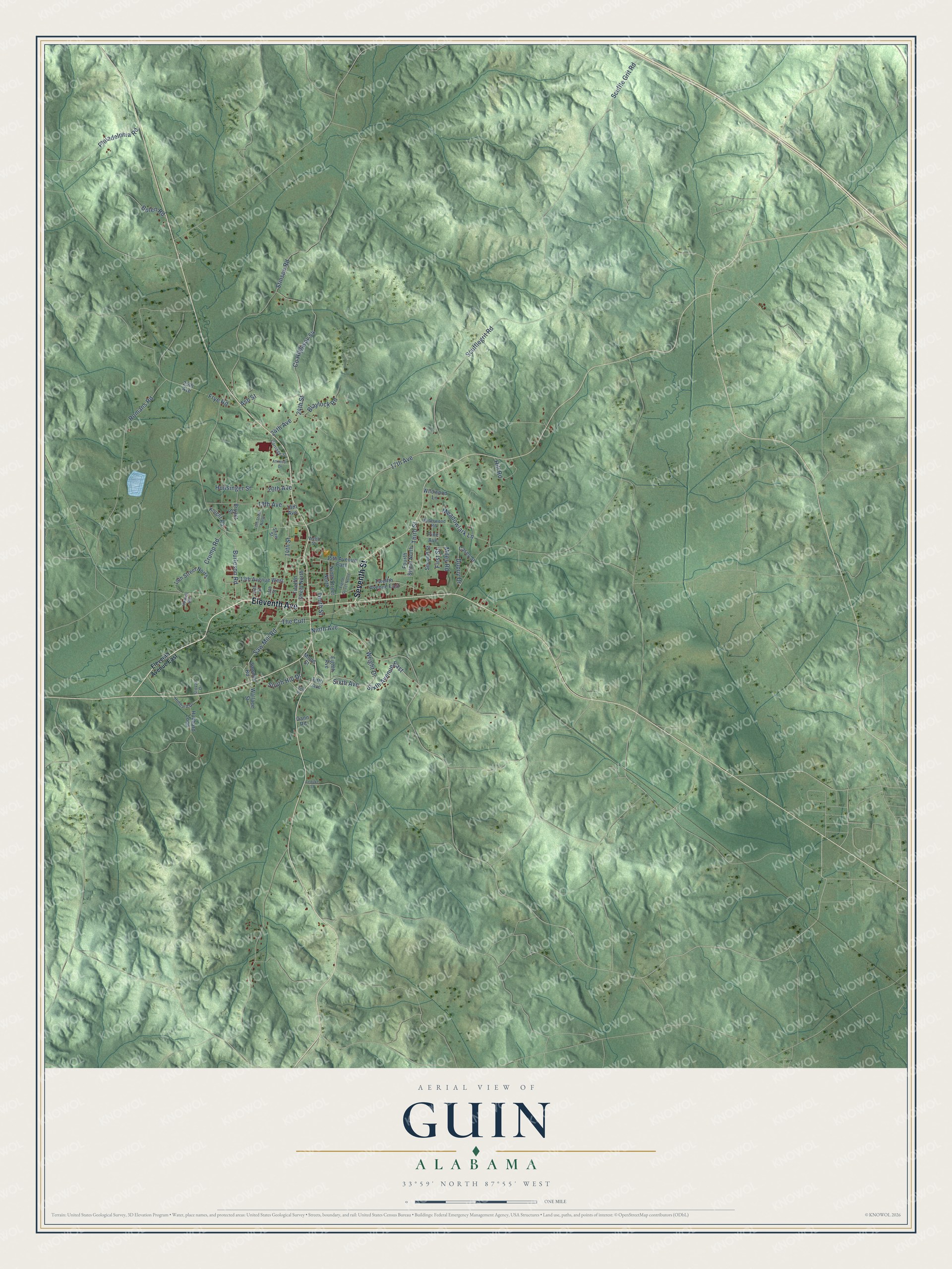
Street names on the Guin, Alabama map
These names are printed on the map of Guin, Alabama.
Streets and roads: Eleventh Avenue, Seventh Street, Sixth Avenue East, Saw Mill Road, Sixth Avenue, Ninth Avenue, Wright Drive, Burleson Road, 17th Avenue, Ash Street, 24th Street, County Highway 54.
More street names, A to Z
13th Avenue West, 14th Street, 15th Avenue East, 15th Street, 16th Street, 16th Street North, 18th Avenue, 19th Avenue, 19th Street North, 20th Avenue, 24th Avenue, 25th Avenue, Atkinson Drive, Belk Drive, Blaylock Road, Bolen Road, Bryant Street, Carriage Street, Casey Street, Crump Road, Dupuy Drive, Eighth Avenue, Eighth Street North, Eleventh Avenue East, Fifth Avenue, First Street, Fourth Street North, Frye Road, Gann Road, Hill Road, Hubbard Drive, Hubbard Loop, Hunsinger Street, Knight Road, Leduke Street, Meadowlark Lane, Miles Road, Moon Street, Ninth Street North, Philadelphia Road, Pine Avenue, Romans Road, Rowell Road, Sawmill Road, Scufflegrit Road, Scuffle Grit Road, Second Street, Shaw Street, South Hill Drive, Stinson Road, Stovall Drive, Tenth Street, The Cutt, Third Street, Twelfth Avenue East, Twelfth Street North, Underwood Road, Wallace Street, Webb Street, Wildwood Lane.
See the Guin, Alabama map on a wall
The Guin map as an 18 x 24 inch print in a black frame.

This beautifully detailed map of Guin makes an attractive addition to your office, library, or den, and it can even be used to teach children the geography and history of the area. It also makes a great gift for anyone with Guin roots. When you’re done exploring, click here to get your copy of the Guin map.