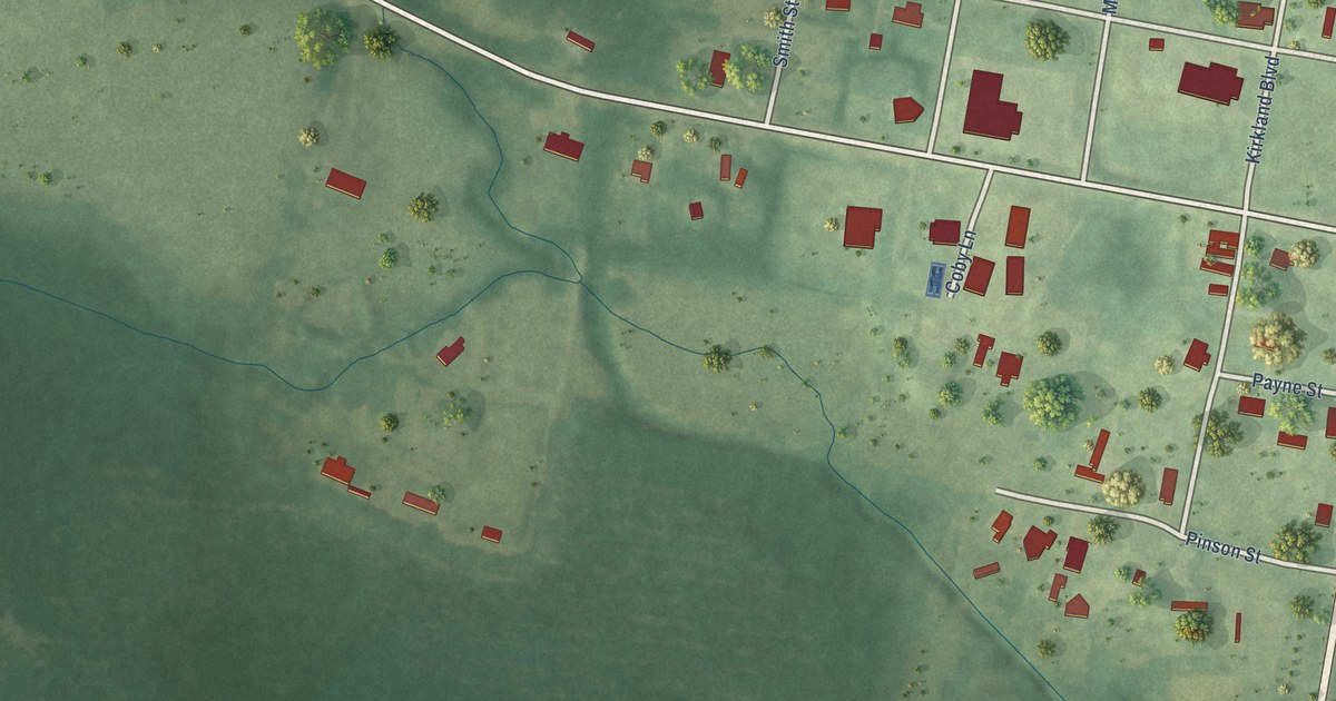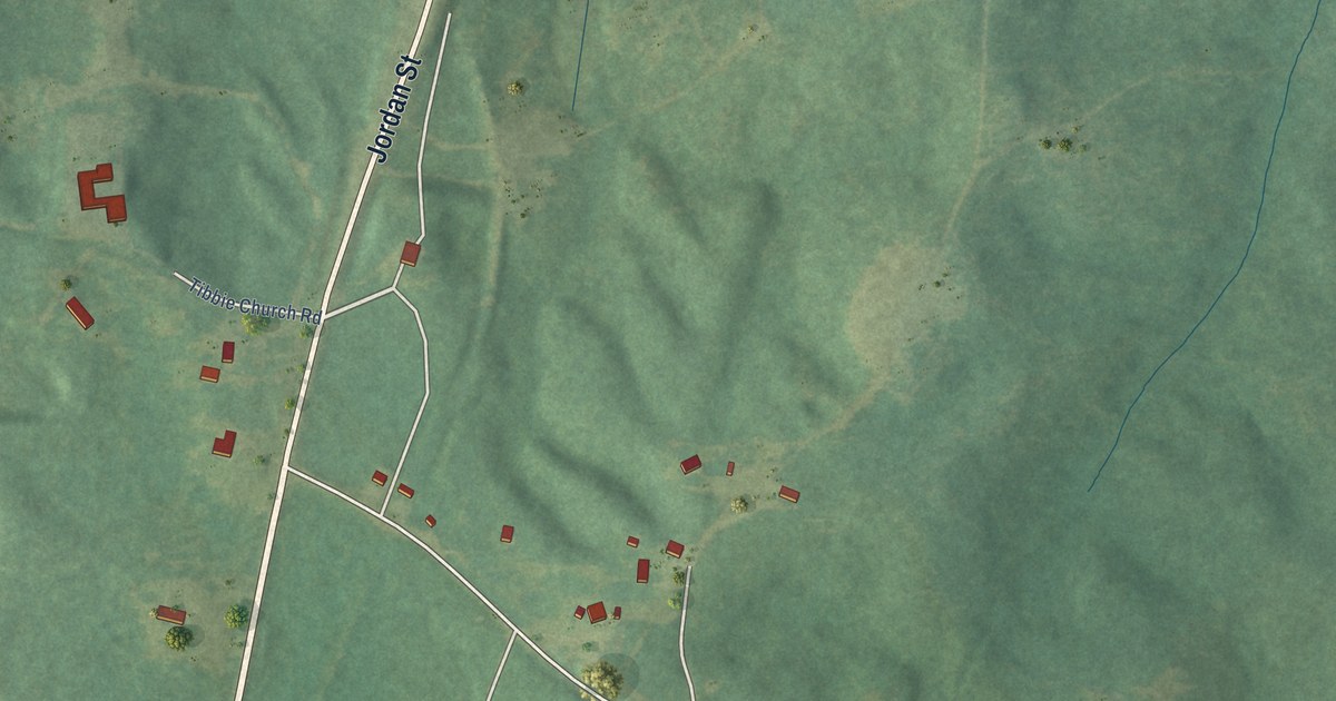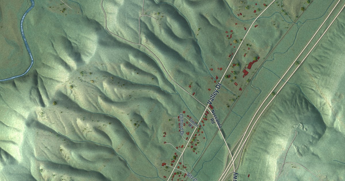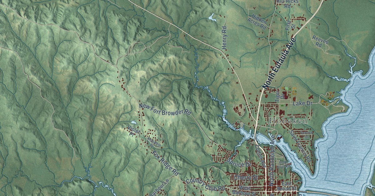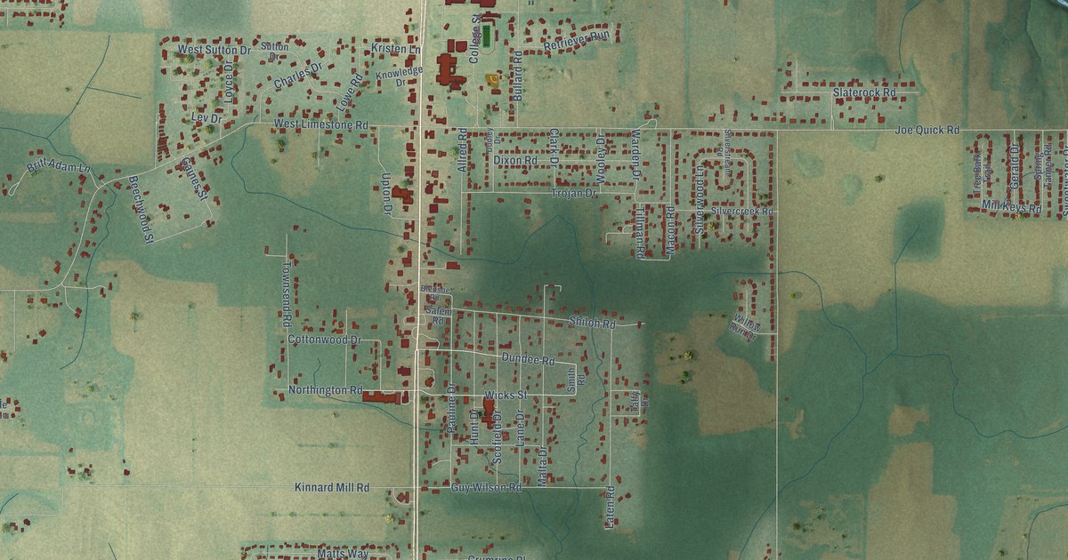
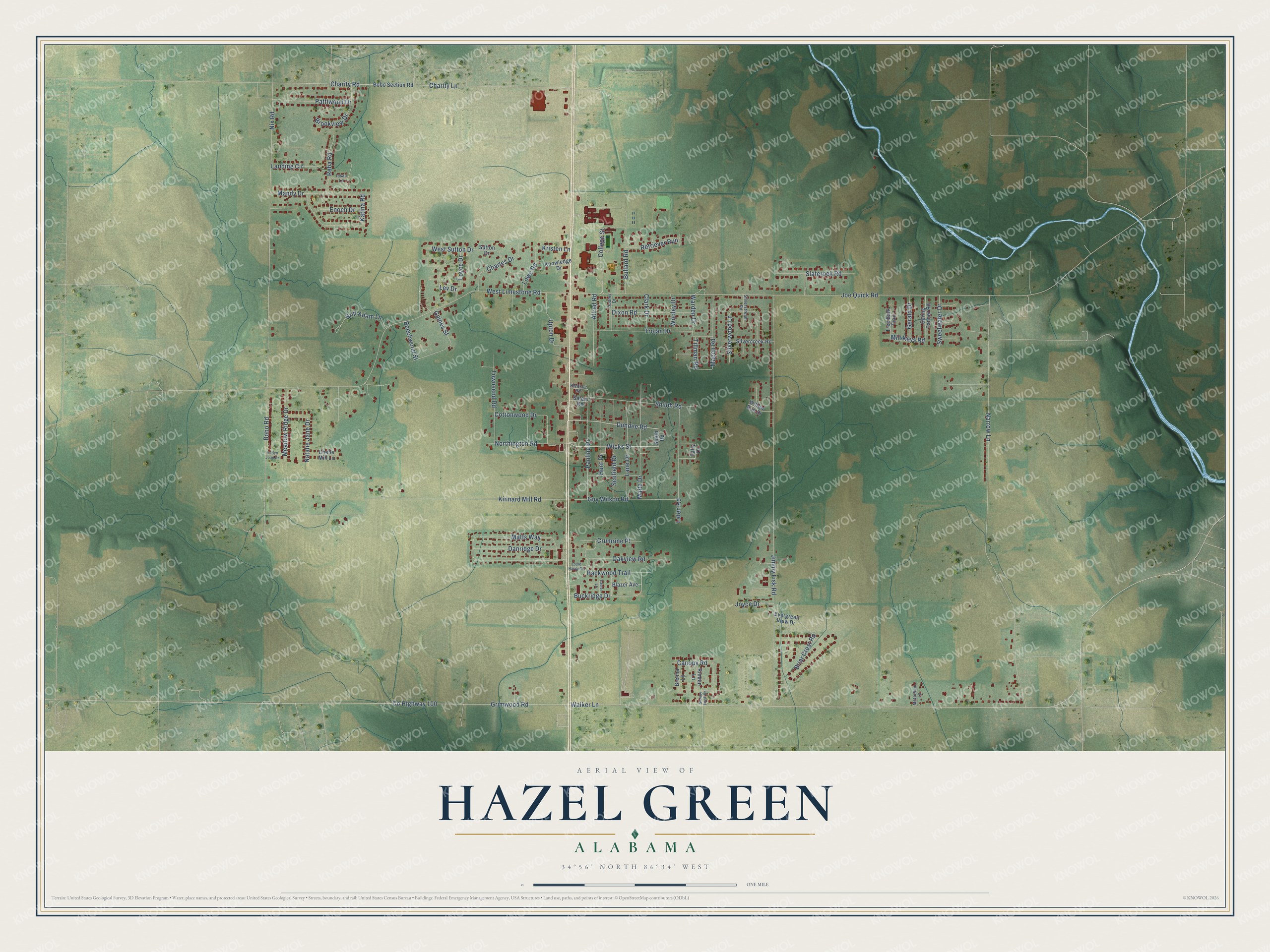
This beautifully detailed map of Hazel Green, Alabama was created in 2026 using aerial imagery combined with modern topographical, census, street and landmark data. It's a modern aerial view of Hazel Green in Madison County, Alabama, that combines modern data with a vintage aesthetic. The roads feature printed names, and if you look closely you can find your exact house accurately shown in its correct location.
Explore an aerial view of Hazel Green, Alabama
On this map you'll find Dundee Road, Northington Road, Wicks Street, Buckridge Drive, Pauline Drive, Nix Road, West Sutton Drive, Co Highway 100, Walker Lane, Joe Quick Road, Narrow Lane, Jimmy Fisk Road, and more. Each red shape is a building, so zoom in on the preview and look for yours.
Hazel Green has a story worth telling. Hazel Green began soon after the 1809 land sales, as a town with several stores, two hotels and groceries on the wagon road between Huntsville and Nashville. It became a well known resting place for travelers, and when it was incorporated in 1821 it had three or four hundred people. Most of the goods bound for Huntsville came that way, and Hazel Green soon became a lively, flourishing place. That's from the Madison County historian Thomas Jones Taylor.
Hazel Green is a community in Madison County. The Census Bureau counted 4,105 people here in 2020.
Take a closer look at the Hazel Green map
Names on this map
These names are printed on this map.
Streets and roads: Dundee Road, Northington Road, Wicks Street, Buckridge Drive, Pauline Drive, Nix Road, West Sutton Drive, County Highway 100, Walker Lane, Joe Quick Road, Narrow Lane, Jimmy Fisk Road.
More street names, A to Z
Allred Road, Backwood Trail, Beechwood Street, Blazer Avenue, Bledsoe Road, Bobo Road, Bobo Section Road, Brenna Lane, Briar Crest Road, Britt Adam Lane, Brookview Drive, Bullard Road, Canopy Road, Charity Lane, Charity Road, Charles Drive, Chelle Mill Lane, Clark Drive, College Street, Cottonwood Drive, Crumrine Place, Danridge Drive, Dixon Road, Dudley Drive, Enoch Drive, Evergreen View Drive, Gaines Street, Gerald Drive, Grimwood Road, Guy Wilson Road, Hunt Drive, Issac Lane, Joyce Drive, Katina Road, Katlyn Joan Drive, Kinnard Mill Road, Knowledge Drive, Kristen Lane, Landing Circle, Lane Drive, Laster Lane, Laten Road, Lev Drive, Louie Hardy Road, Lowe Road, Loyce Drive, Macon Road, Malta Drive, Mandy Drive, Matts Way, McCollum Lane, Meadow Ridge Drive, Mill Keys Road, Natalie Jane Drive, Oakview Road, Pattiwood Drive, Reba Road, Retriever Run, Rindon Lane, Salem Road, Scofield Drive, Shiloh Road, Silvercreek Road, Silverstream Road, Silverwood Lane, Slaterock Road, Smith Road, Spring Tanner Road, Stoney Knoll Drive, Sutton Drive, Sweetwater Drive, Taffy Drive, Tillman Road, Townsend Road, Tree Bark Trail, Trojan Drive, Upton Drive, Warden Drive, West Limestone Road, Willow Run Drive, Wooley Drive.
See it on a wall
The Hazel Green map as a framed print. Swipe for more.


Created by KNOWOL in 2026. The buildings are small red shapes, the roads carry their printed names, and shaded relief shows the shape of the land. The title panel reads "AERIAL VIEW OF HAZEL GREEN, ALABAMA" with 34°56' NORTH 86°34' WEST.
It looks right in a kitchen, an office or a den, and it's a gift for anyone who grew up in Hazel Green or moved away. Open the preview and find your street. See sizes and frames for the Hazel Green map.