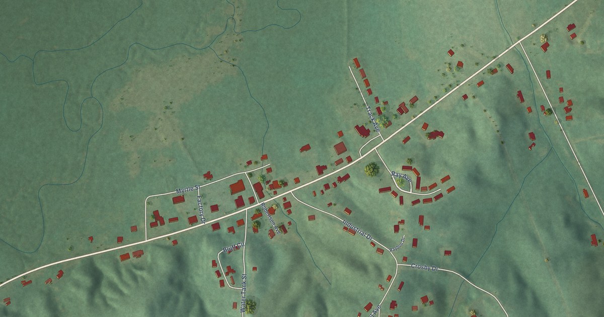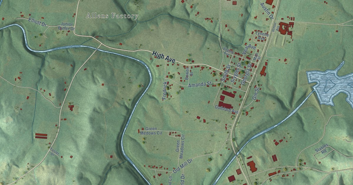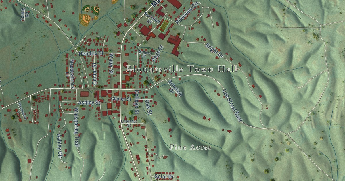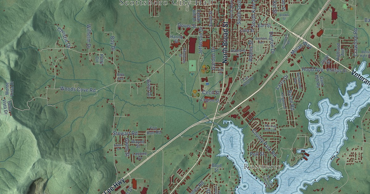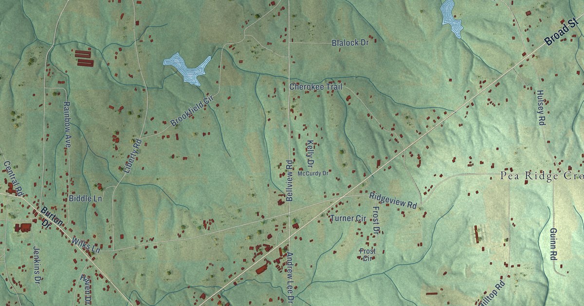
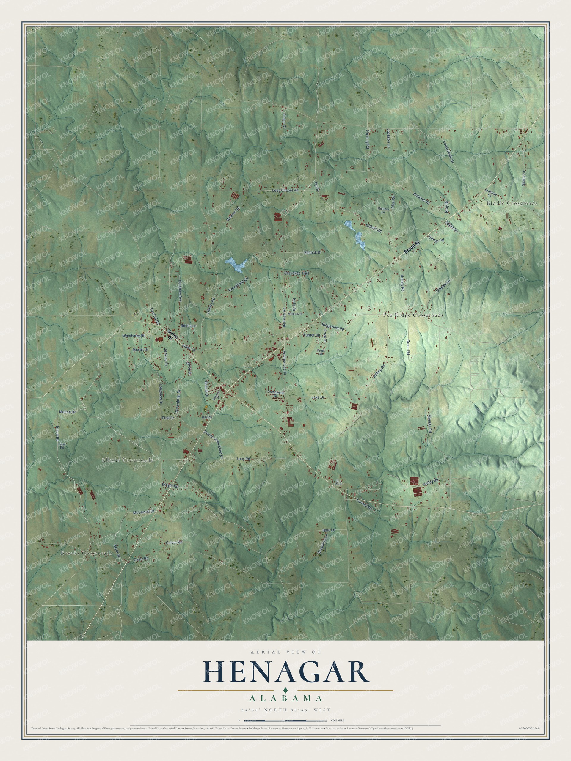
This beautifully detailed map of Henagar, Alabama was created in 2026 using aerial imagery combined with modern topographical, census, street and landmark data. It's a modern aerial view of Henagar in DeKalb County, Alabama, that combines modern data with a vintage aesthetic. The roads feature printed names, and if you look closely you can find your exact house accurately shown in its correct location.
Explore an aerial view of Henagar, Alabama
On this map you'll find Brooks Crossroads, Biddle Crossroads, Elliott Crossroads, Pea Ridge Crossroads, Broad Street, Lacy Road, Melton Drive, Elliott Road, Andrew Lee Drive, Ridgeview Road, Bellview Road, Weaver Road, and more. Each red shape is a building, so zoom in on the preview and look for yours.
Henagar has a story worth telling. The record at encyclopediaofalabama.org puts it this way: "Schools in Henagar are part of the DeKalb County School System; the town has one junior high school."
Henagar is a city in DeKalb County. The Census Bureau counted 2,292 people here in 2020.
Take a closer look at the Henagar map
Names on this map
These names are printed on this map.
Places: Brooks Crossroads, Biddle Crossroads, Elliott Crossroads and Pea Ridge Crossroads.
Streets and roads: Broad Street, Lacy Road, Melton Drive, Elliott Road, Andrew Lee Drive, Ridgeview Road, Bellview Road, Weaver Road, Loudermilk Drive, Greenbriar Drive, Liberty Road, Roberts Road.
More street names, A to Z
Alabama Street, Barron, Biddle Lane, Blalock Drive, Bray Drive, Brookfield Circle, Burton Drive, Central Road, Cherokee Trail, Clayton Drive, Crabtree Lane, Culver Road, Davis Road, Dekalb Drive, Doctor John Elliot Drive, Field Road, Fleming Road, Frost Circle, Frost Drive, Gilbert Road, Gourge Road, Greenwood Drive, Guinn Road, Hale Lane, Haven Drive, Hickory Lane, Hilltop Road, Hulsey Road, Ivy Drive, Jackson Drive, Jenkins Drive, Keith Drive, Kelly Drive, Lake Drive, Lees Chapel Road, Longview Drive, McCurdy Drive, McDowell Drive, Moses Drive, Pair Drive, Pike Road, Pine Drive, Rainbow Avenue, Shady Lane, Shepherd Lane, Smith Drive, Stoner Road, Tinker Drive, Troxtel Road, Turner Circle, Valley Road, Wilks Lane, Woodview Road, Wright Road.
Created by KNOWOL in 2026. The buildings are small red shapes, the roads carry their printed names, and shaded relief shows the shape of the land. The title panel reads "AERIAL VIEW OF HENAGAR ALABAMA" with 34°38' NORTH 85°45' WEST.
It looks right in a kitchen, an office or a den, and it's a gift for anyone who grew up in Henagar or moved away. Open the preview and find your street. See sizes and frames for the Henagar map.