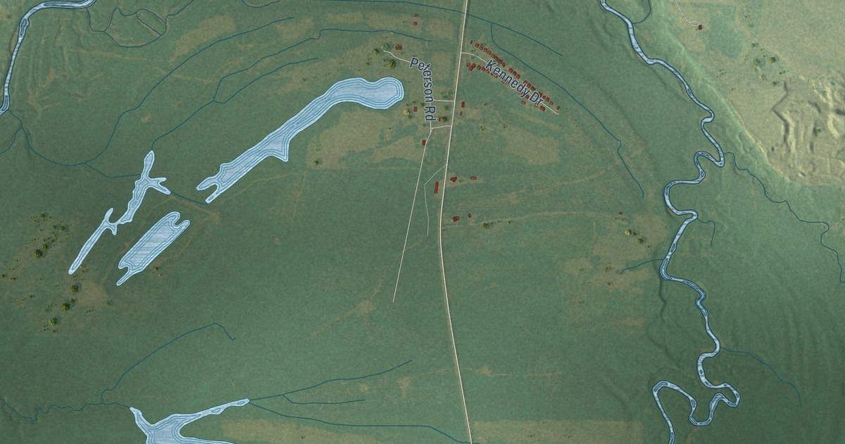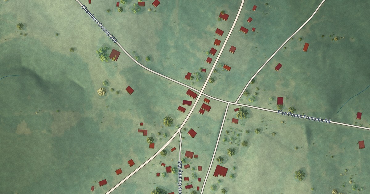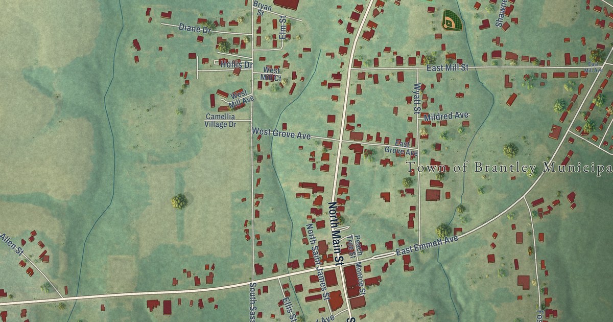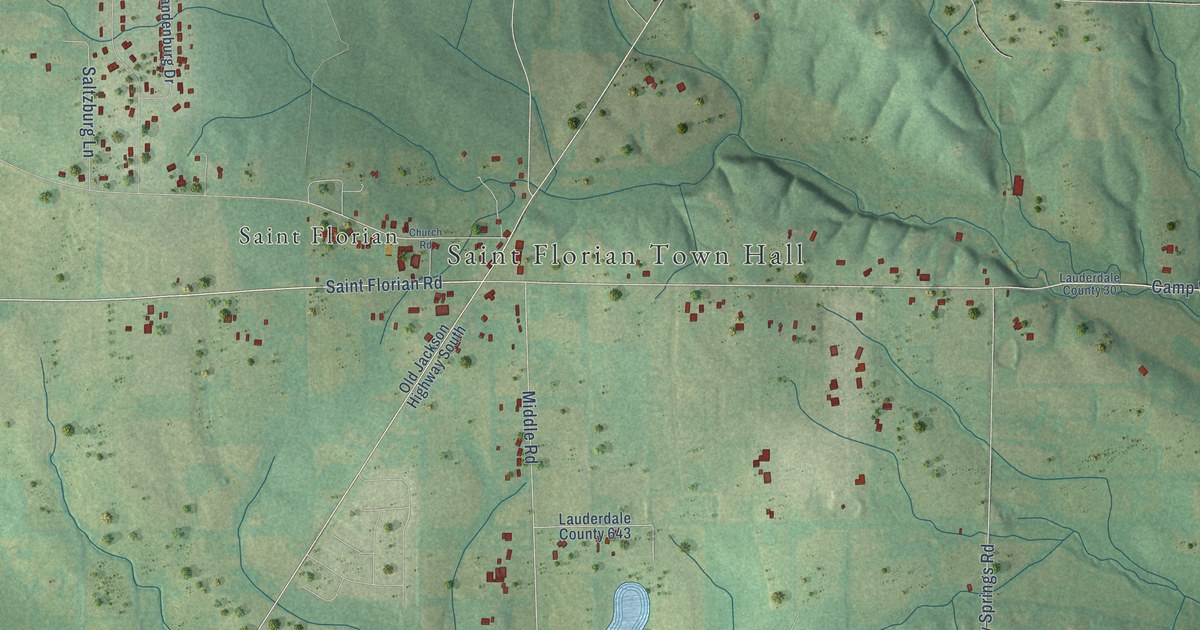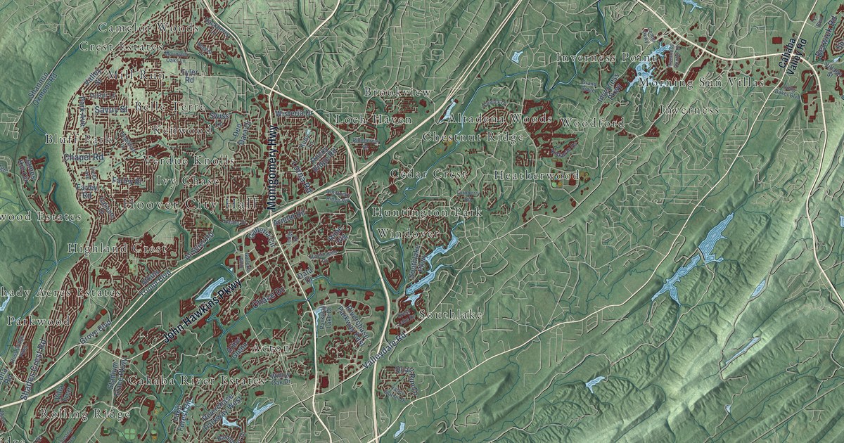
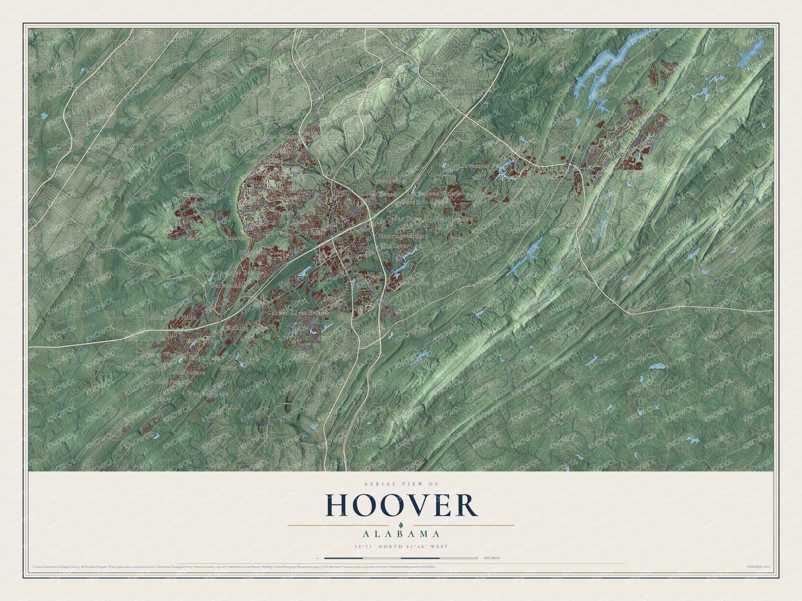
This beautifully detailed map of Hoover, Alabama was created in 2026 using aerial imagery combined with modern topographical, census, street and landmark data. It's a modern aerial view of Hoover in Jefferson County, Alabama, that combines modern data with a vintage aesthetic. The roads feature printed names, and if you look closely you can find your exact house accurately shown in its correct location.
Explore an aerial view of Hoover, Alabama
On this map you'll find Hoover City Hall, Acton, Altadena Woods, Belle Terre, Blue Ridge Estates, Bluff Park, Brookview, Cahaba River Estates, Camelot Woods, Cedar Crest, Chestnut Ridge, Crest Estates, and more. Each red shape is a building, so zoom in on the preview and look for yours.
Hoover has a story worth telling. The record at encyclopediaofalabama.org puts it this way: "Hoover has since annexed several nearby communities and has become known for its retail facilities, most notably the Galleria Mall, its award-winning school system, and its recreational facilities."
Hoover is a city in Jefferson County. The Census Bureau counted 92,606 people here in 2020.
Take a closer look at the Hoover map
Names on this map
These names are printed on this map.
Places: Hoover City Hall, Acton, Altadena Woods, Belle Terre, Blue Ridge Estates, Bluff Park, Brookview, Cahaba River Estates, Camelot Woods, Cedar Crest, Chestnut Ridge, Crest Estates, Eden Ridge, Elvira, Genery, Heatherwood, High Point, Highland Crest, Huntington Park, Imperial Forest, Inverness, Inverness Point, Ivy Chase, Kenwood, Loch Haven, Martinwood Estates, Mill Run, Morning Sun Villas, Parkwood, Parkwood Hills, Rolling Ridge, Russet Woods, Shady Acres Estates, Shadywood, Shannon, Southlake, Southpointe, Verdue Knolls, Weeping Oaks, Whispering Oaks, Windover and Woodford.
Streets and roads: Montgomery Highway, John Hawkins Parkway, Valleydale Road, Shades Crest Road, Hugh Daniel Drive, Legacy Drive, Lorna Road, Chapel Road, Greystone Crst, Castlehill Road, Dunnavant Valley Road, Savoy Street.
More street names, A to Z
119 Boulevard, Alford Avenue, Al Seier Road, Arbor Glenn, Arnold Road, Atkins Trimm Boulevard, Baneberry Drive, Berwick Road, Brookline Drive, Cahaba Valley Road, Caliente Drive, Center Parkway, Chace Drive, Chalybe Drive, Chestnut Trce, Country Club Circle, Creekside Drive, Crest Lake Drive, Data Drive, Deo Dara Drive, Doug Baker Boulevard, Edna Road, Farley Place, Farley Road, Farmhouse Road, Fleming Parkway, Galleria Boulevard, Galleria Circle, Grand Oaks Drive, Grand Ridge, Greystone Glen Circle, Greystone Way, Grove Boulevard, Hackberry Lane, Harwick Drive, Haven Road, Inverness Center Drive, Inverness Parkway, James Hill Circle, Kelly Lane, Kirkman Drive, Lake Cyrus Boulevard, Lake Forest Circle, Lester Lane, Linda Avenue, Lodge Drive, Melton Road, Montauk Road, Moss Rose Lane, Moss Run Drive, Mountain Oaks Lane, Napier Drive, North Lake Road, Nunnally Pass, Oak Leaf Circle, Oak Park Lane, Old Rocky Ridge Road, Orchard Avenue, Park Avenue, Parkway Lake Drive, Quail Run Drive, Regent Lane, Ridgecrest Drive, Rime Vlg, Riverchase Parkway East, Riverchase Parkway West, Riverhaven Drive, Rocky Ridge Road, Rose Bridge Parkway, Ross Avenue, Ross Bridge Parkway, Royal Mile, Russet Hill Circle, Saddlecreek Trail, Shandwick Place, Shannon Oxmoor Road, Southlake Parkway, Stadium Trace Parkway, Swiss Lane, Turnberry Road, Tyler Road, Valley Station Drive, Valley Street, Village Street, Villa Trce, Willow Lake Drive, Willow Oak Drive, Wisteria Drive.
Created by KNOWOL in 2026. The buildings are small red shapes, the roads carry their printed names, and shaded relief shows the shape of the land. The title panel reads "AERIAL VIEW OF HOOVER ALABAMA" with 33°23' NORTH 86°48' WEST.
It looks right in a kitchen, an office or a den, and it's a gift for anyone who grew up in Hoover or moved away. Open the preview and find your street. See sizes and frames for the Hoover map.