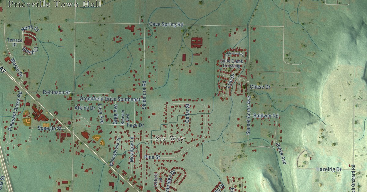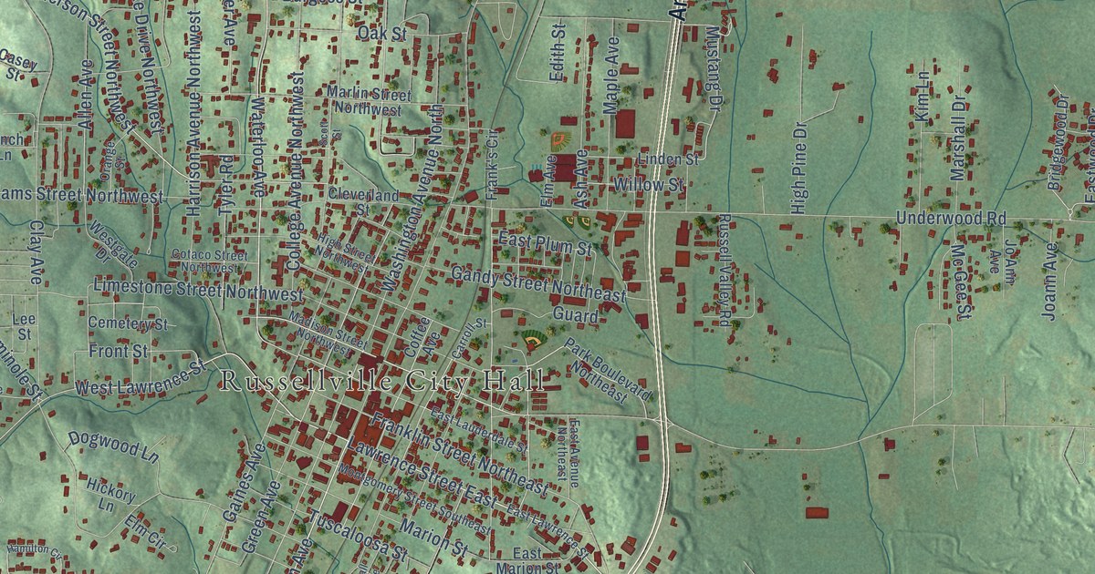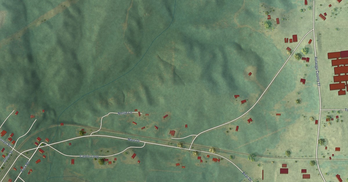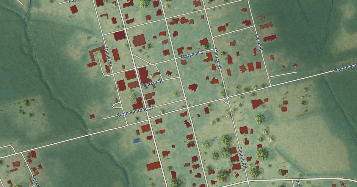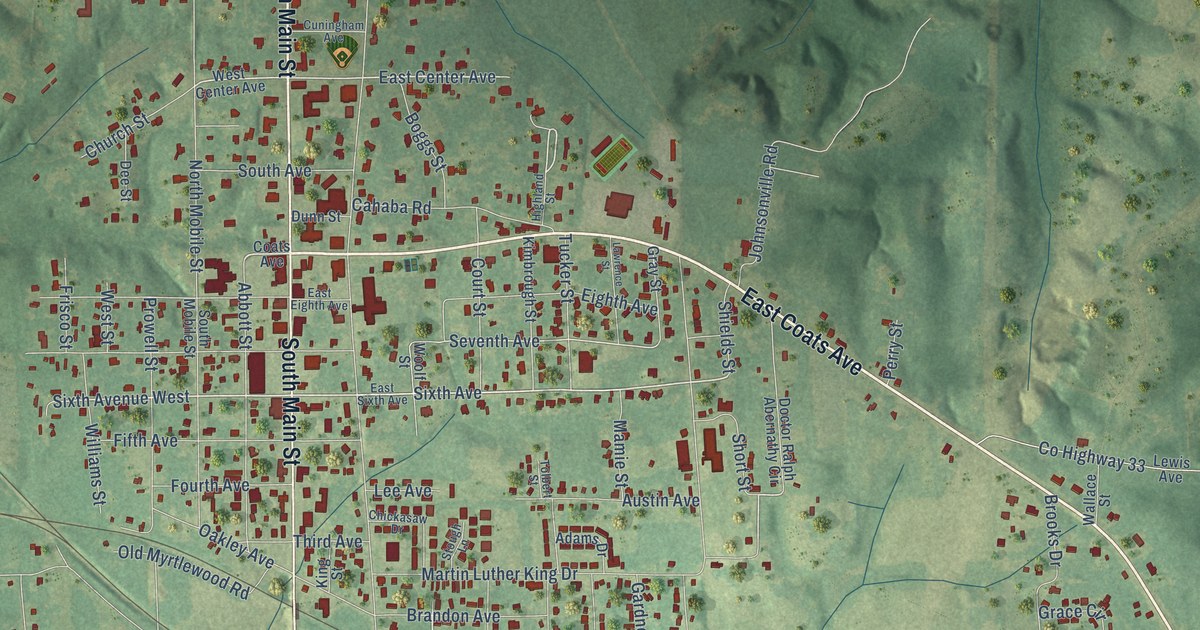
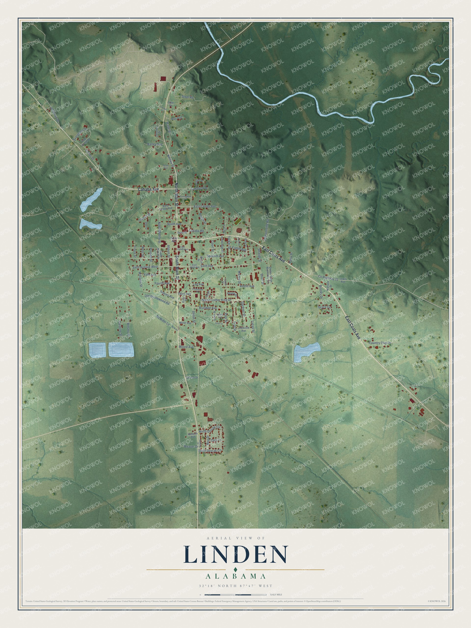
This beautifully detailed map of Linden, Alabama was created in 2026 using aerial imagery combined with modern topographical, census, street and landmark data. It's a modern aerial view of Linden in Marengo County, Alabama, that combines modern data with a vintage aesthetic. The roads feature printed names, and if you look closely you can find your exact house accurately shown in its correct location.
Explore an aerial view of Linden, Alabama
On this map you'll find East Coats Avenue, Cahaba Avenue, North Main Street, South Main Street, Sixth Avenue West, Sixth Avenue, East Center Avenue, Seventh Avenue, Shiloh Street, Martin Luther King Drive, North Mobile Street, Old Myrtlewood Road, and more. Each red shape is a building, so zoom in on the preview and look for yours.
Linden has a story worth telling. The record at encyclopediaofalabama.org puts it this way: "The first newspaper, the Linden Jeffersonian, was established in 1853 and was followed by the Democrat Reporter in 1879, a weekly still published today."
Linden is a town in Marengo County. The Census Bureau counted 1,930 people here in 2020.
Take a closer look at the Linden map
Names on this map
These names are printed on this map.
Streets and roads: East Coats Avenue, Cahaba Avenue, North Main Street, South Main Street, Sixth Avenue West, Sixth Avenue, East Center Avenue, Seventh Avenue, Shiloh Street, Martin Luther King Drive, North Mobile Street, Old Myrtlewood Road.
More street names, A to Z
Abbott Street, Adams Drive, Austin Avenue, Barley Avenue, Boggs Street, Brandon Avenue, Brooks Drive, Cahaba Road, Caroline Street, Carter Drive, Chickasaw Drive, Church Drive, Church Street, Coats Avenue, Cory Lane, Country Club Drive, County Highway 33, Court Street, Crescent Drive, Cuningham Avenue, Dee Street, Doctor Ralph Abernathy Circle, Dunn Street, East Eighth Avenue, East Sixth Avenue, Eighth Avenue, Evergreen Drive, Fifth Avenue, Ford Street, Fourth Avenue, Frisco Street, Gardner Street, Grace Circle, Grayson Drive, Gray Street, Green Street, Highland Street, Jefferson Drive, Johnsonville Road, Jones Street, Kimbrough Street, King Street, Lawrence Street, Lee Avenue, Lewis Avenue, Linwood Drive, Louisville Avenue, Lucas Street, Mamie Street, McNider, McNider Lane, Meg Drive, Miller Avenue, Mimosa Avenue, Moore Avenue, Nettles Street, North Dvorak Circle, Oakley Avenue, Ollie Drive, Perry Street, Pine Grove Drive, Pool Street, Prowell Street, Ray Avenue, Scott Avenue, Selma Avenue, Shields Street, Short Street, South Avenue, South Dvorak Circle, South Mobile Street, Spalding Drive, Steel Road, Stough Lane, Third Avenue, Tolbert Street, Tucker Street, Wade Street, Wallace Street, Weaver Drive, Wesley Street, West Center Avenue, West Street, Williams Street, Woolf Street.
Created by KNOWOL in 2026. The buildings are small red shapes, the roads carry their printed names, and shaded relief shows the shape of the land. The title panel reads "AERIAL VIEW OF LINDEN ALABAMA" with 32°18' NORTH 87°47' WEST.
It looks right in a kitchen, an office or a den, and it's a gift for anyone who grew up in Linden or moved away. Open the preview and find your street. See sizes and frames for the Linden map.