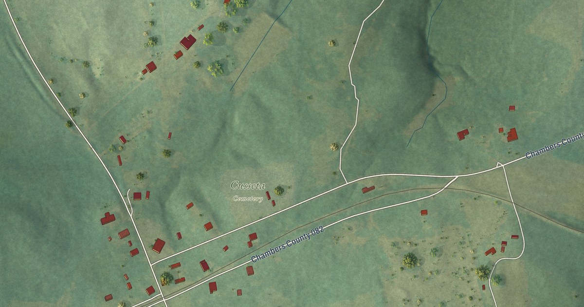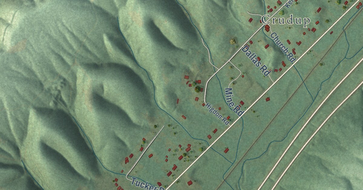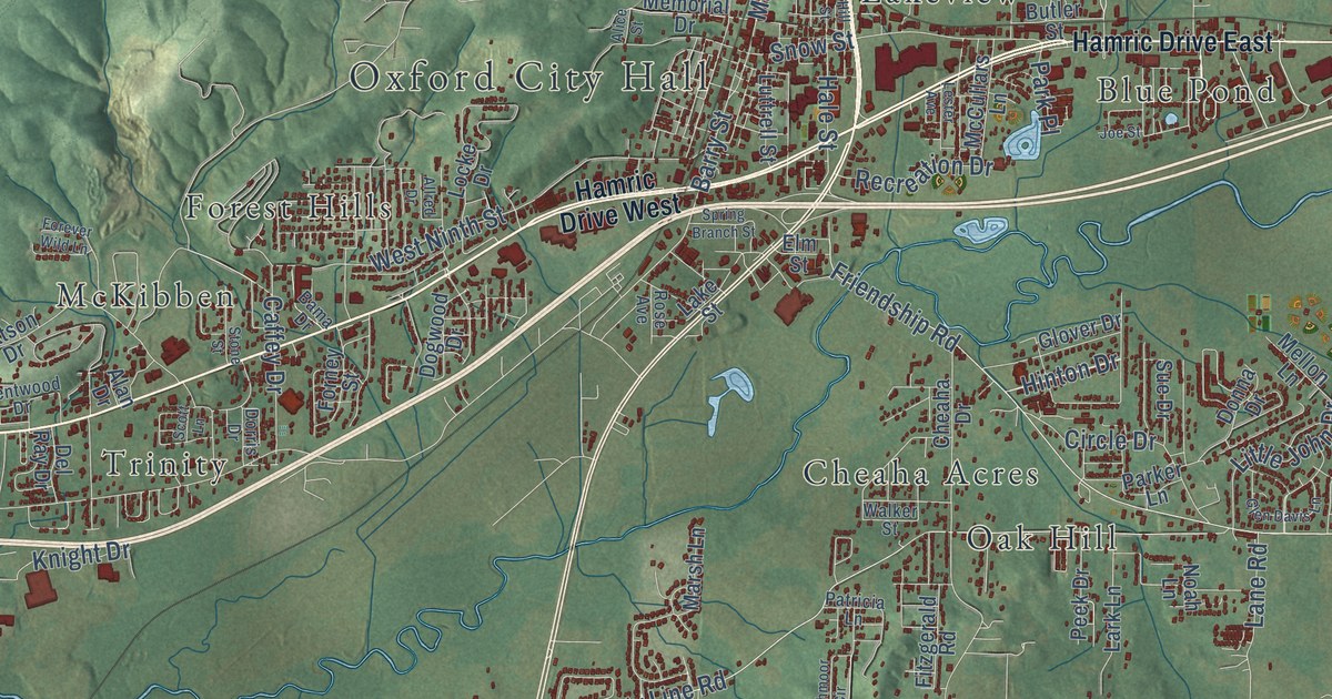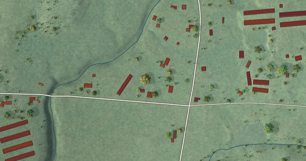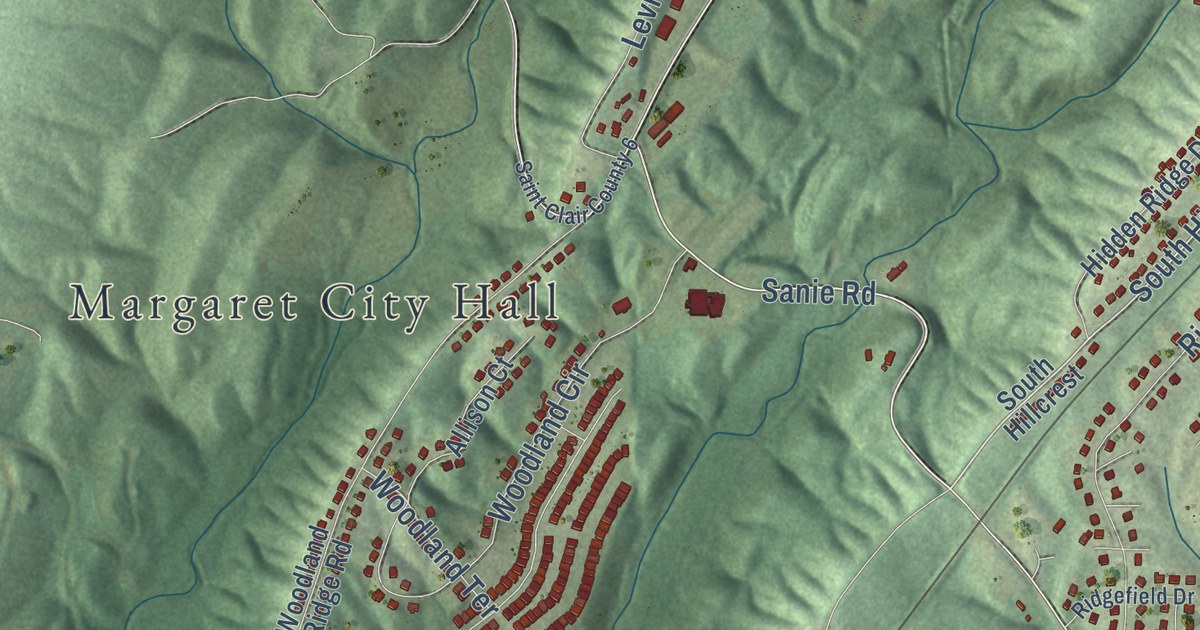
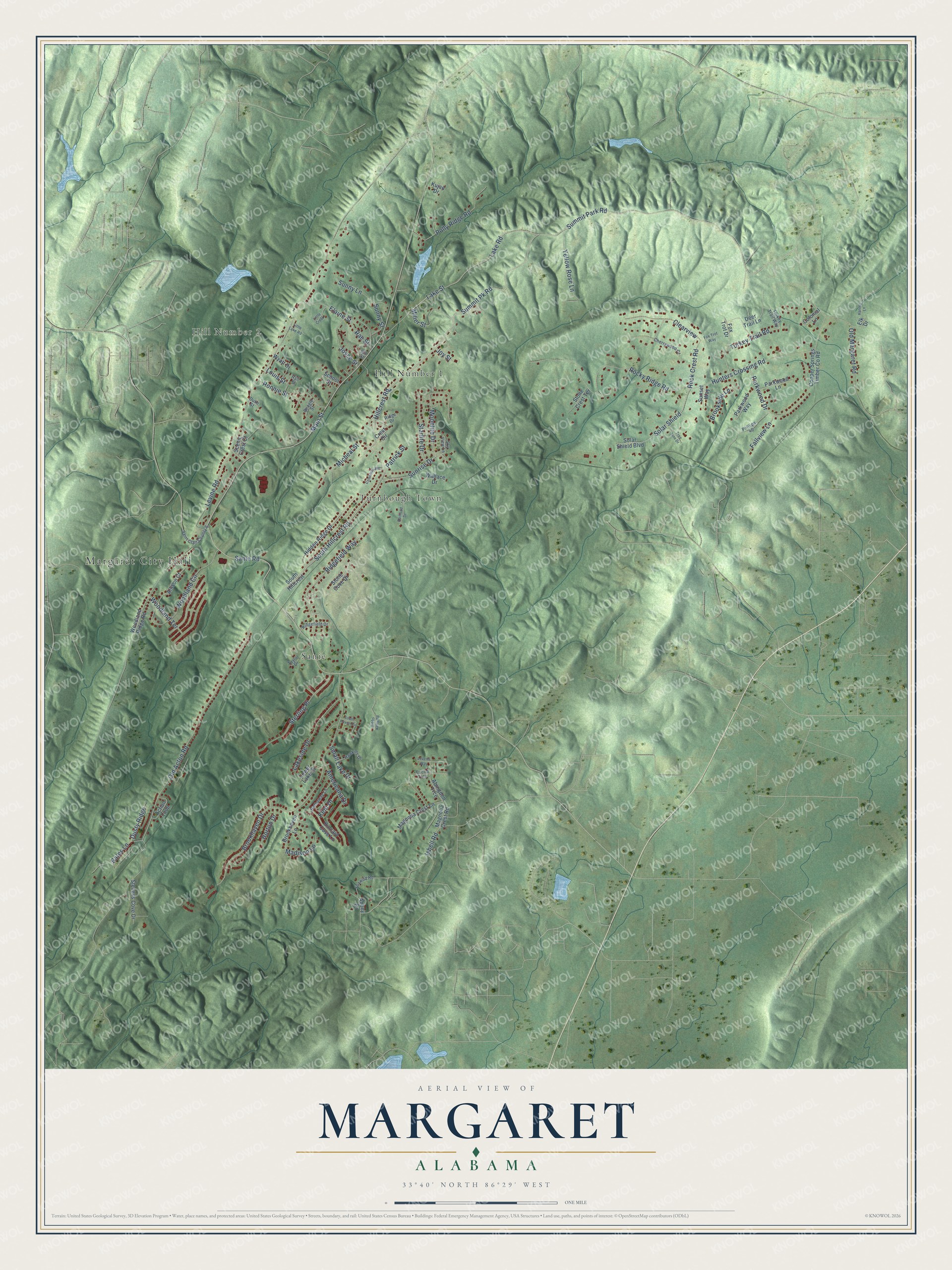
This beautifully detailed map of Margaret, Alabama was created in 2026 using aerial imagery combined with modern topographical, census, street and landmark data. It’s a one-of-a-kind view of Margaret that combines accurate data with a vintage aesthetic. The map shows every building in its true location, many of the roads carry their names, and the shaded topographic relief shows the shape of the land.
Explore an aerial view of Margaret, Alabama
On the map you’ll find Margaret City Hall, Hill Number 2, Hill Number 1, Sanie, and Turnbough Town, along with South Hillcrest Road, Hillcrest Road, Summit Park Road, Summit Pk Road, Sanie Road, Miller Street, Lake Street, and more. If you look closely you can even find your house accurately drawn in its correct location. Zoom in on the preview to look for yours.
Did you know this piece of Margaret, Alabama history?
From the Encyclopedia of Alabama: "As is the case with many Alabama towns, Margaret was established in 1908 by a company."
Take a closer look at the Margaret map
Street and place names on the Margaret, Alabama map
These names are printed on the map of Margaret, Alabama.
Places: Margaret City Hall, Hill Number 2, Hill Number 1, Sanie and Turnbough Town.
Streets and roads: South Hillcrest Road, Hillcrest Road, Summit Park Road, Summit Pk Road, Sanie Road, Miller Street, Lake Street, Sunrise Drive, Main Street, Lake Road, Rocky Ridge Road, Polly Ridge Road.
More street names, A to Z
Abbey Drive, Abingdon Trce, Action Loop, Allison Court, Americana Drive, Bates Lane, Beagle Street, Brookhaven Drive, Brookhaven Lane, Brookside Lane, Cemetery Road, Cherrywood Court, Clearview, Colonial Lane, Copper Springs Timber County Road, Crest Circle, Deer Trail Lane, Duke Street, Dusty Ridge, Elaine Street, Elk Drive, Euclid Trce, Fallview Lane, Fox Trot Drive, Fox Trot Way, Foxwild Road, Gibbs Kelly Road, Hall Street, Harvey Lane, Hathaway Lane, Hawkins Drive, Hidden Ridge Drive, Horton Drive, Hunters Crossing Road, Ida Street, Isbell Road, Joyce Street, Joy Street, Kent Drive, Kincaid Cove Lane, Kujan Drive, Lakeside Drive, Leverts Way, Levine Road, Little Creek, Little Lake Road, Louis Street, Lower Lake Drive, Madison Lane, Magnolia Crest Lane, Magnolia Crest Road, Micheal Street, Moonlite Drive, Old Acton Road, Old Margaret Road, Parkwood Drive, Parkwood Lane, Parkwood Way, Patrick Street, Phillips 40, Rae Street, Railroad Drive, Ridge Drive, Ridgefield Drive, Ridgefield Way, Rock Crest Road, Ronnie Street, Saint Clair County 6, Scenic Crest Court, School Street, Sky View Lane, Small Lake Drive, Solar Shield, Solar Shield Boulevard, South Haven Circle, South Hillcrest, Starlite Drive, Sterling Place, Stevens Cove Drive, Stone Cove Drive, Stone Crest Terrace, Sunny Lane, Sunny Street, Sunset Way, Taylor Drive, Tree Line Drive, Turkey Trail Road, Turkey Trail Way, Wallace Drive, Woodland Circle, Woodland Ridge Road, Woodland Terrace, Wyatt Drive, Yellow Rose Lane.
See the Margaret, Alabama map on a wall
The Margaret map as an 18 x 24 inch print in a black frame.

This beautifully detailed map of Margaret makes an attractive addition to your office, library, or den, and it can even be used to teach children the geography and history of the area. It also makes a great gift for anyone with Margaret roots. When you’re done exploring, click here to get your copy of the Margaret map.