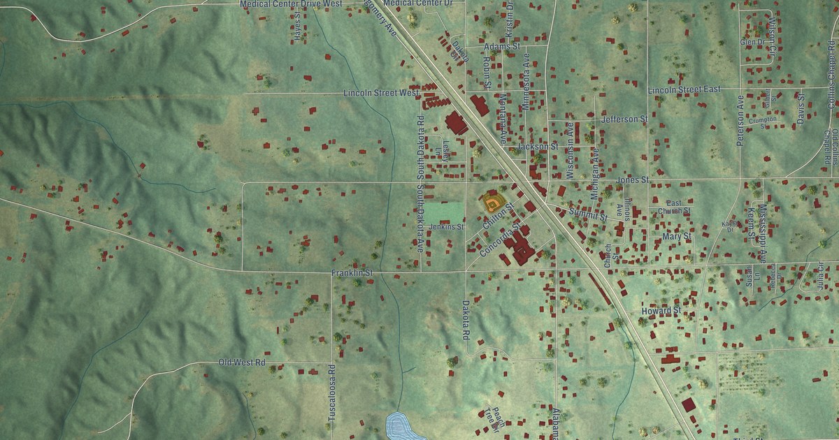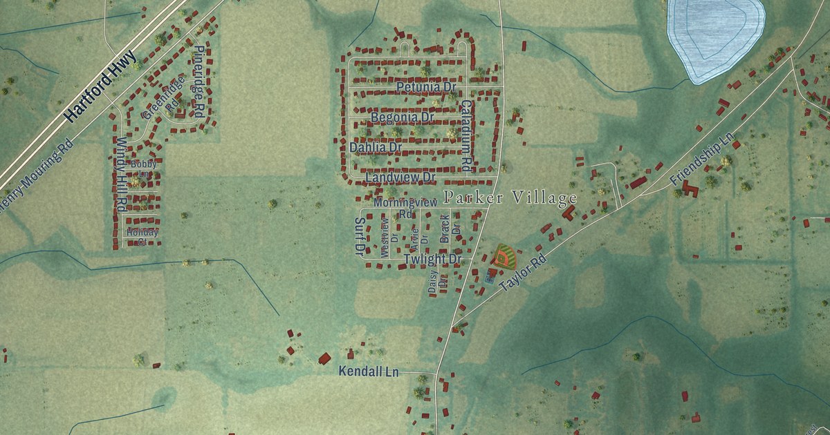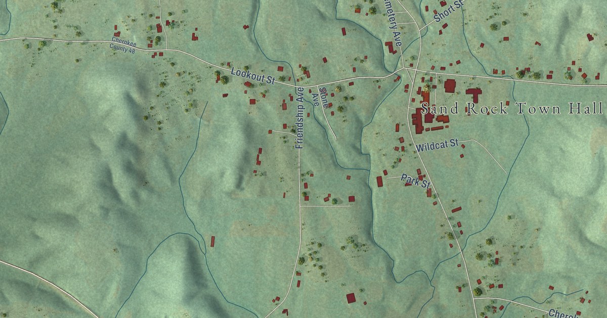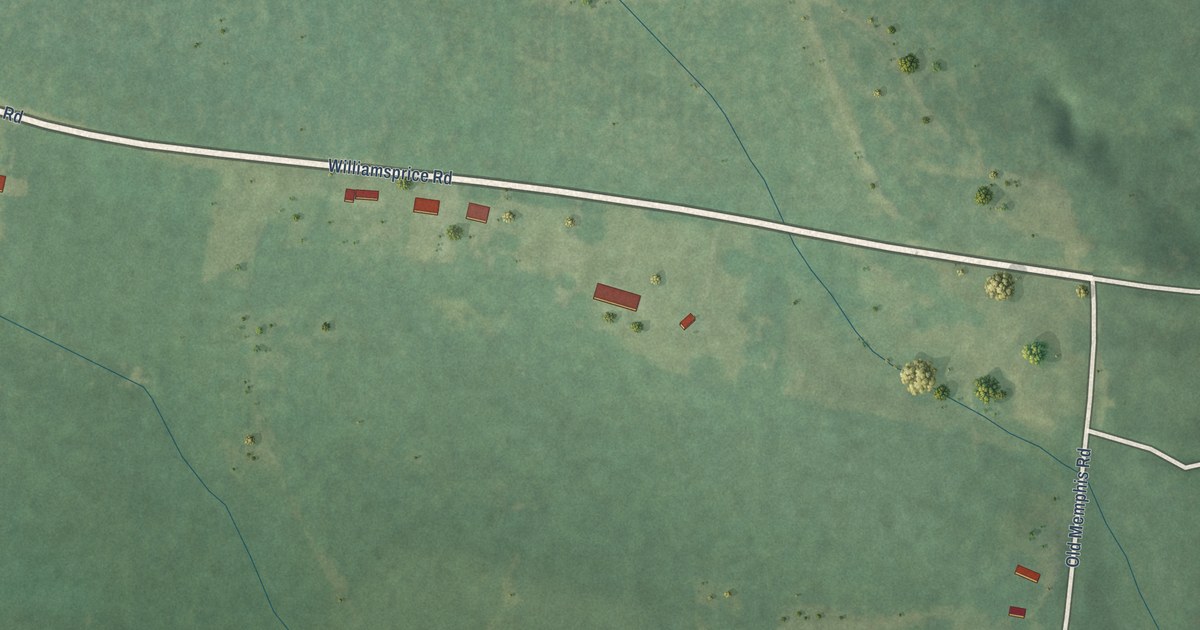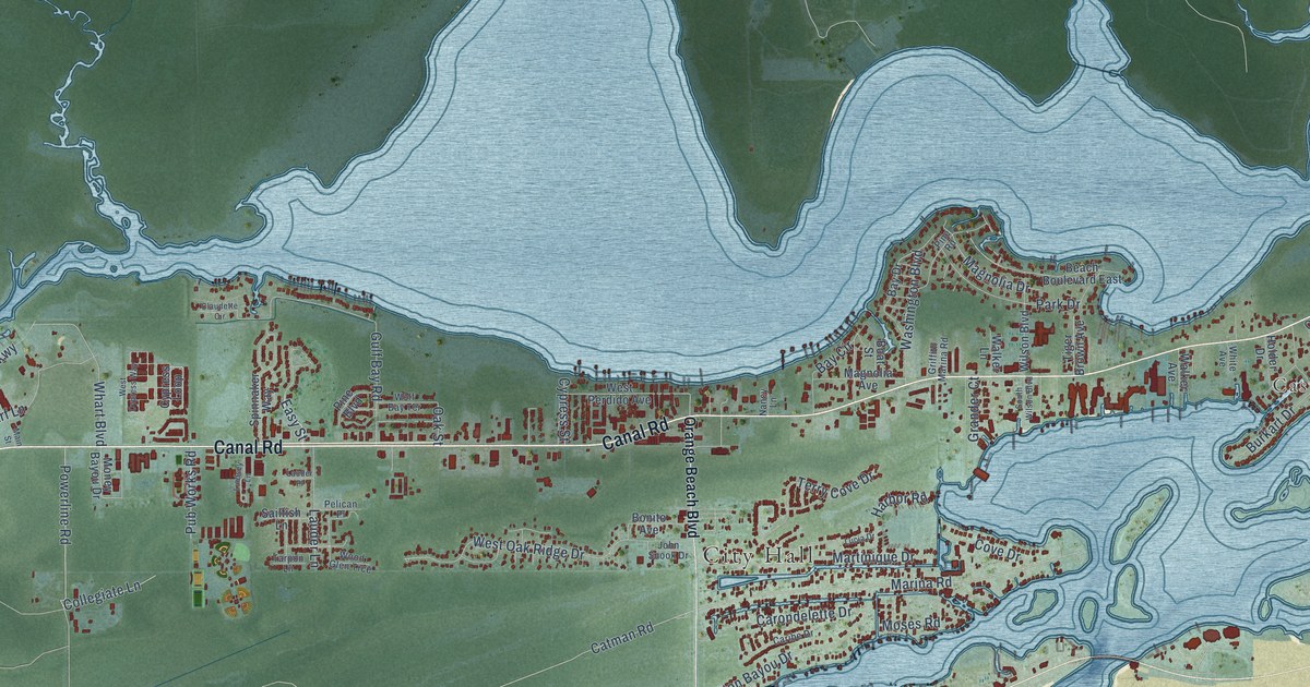
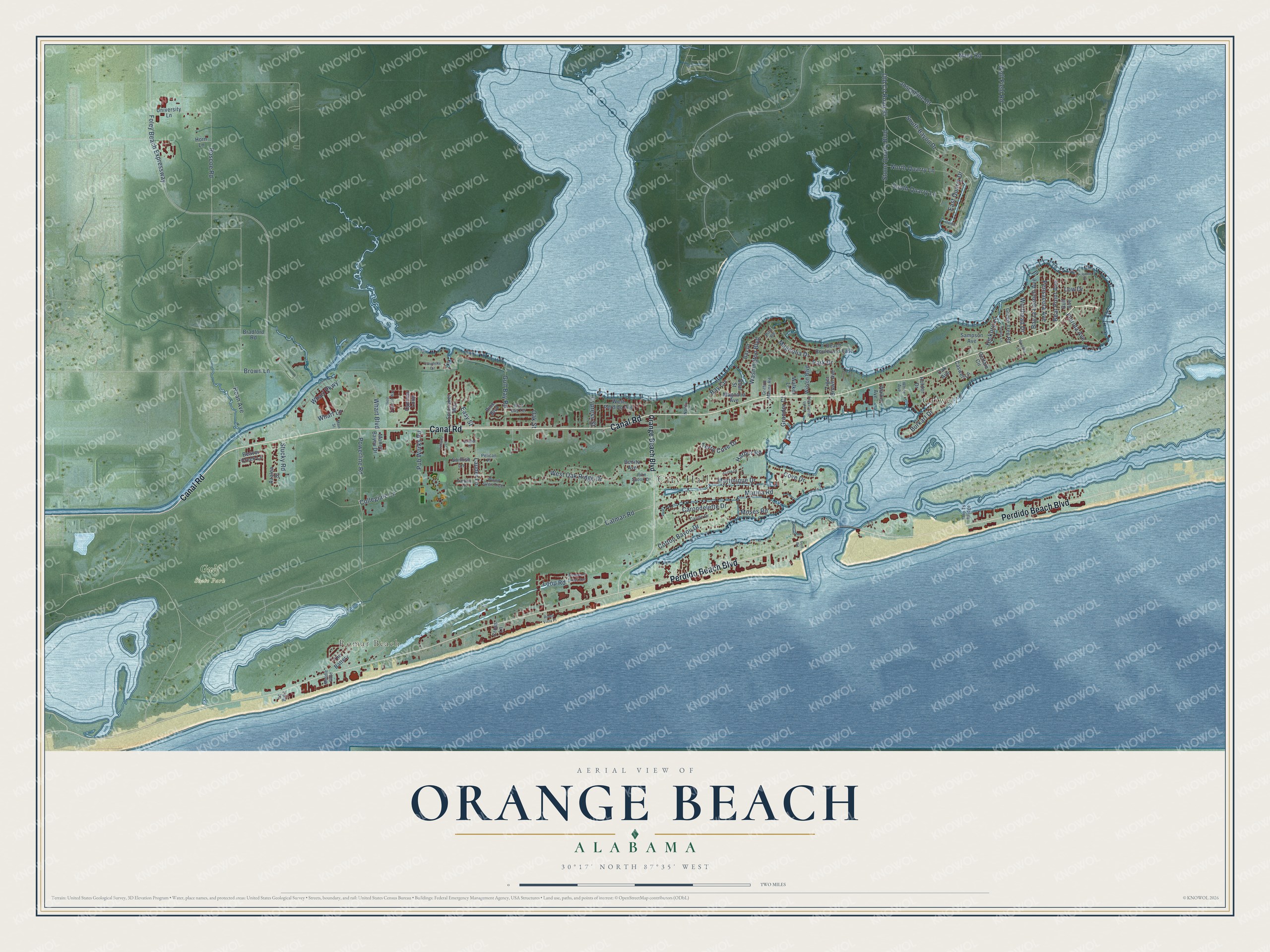
This beautifully detailed map of Orange Beach, Alabama was created in 2026 using aerial imagery combined with modern topographical, census, street and landmark data. It's a modern aerial view of Orange Beach in Baldwin County, Alabama, that combines modern data with a vintage aesthetic. The roads feature printed names, and if you look closely you can find your exact house accurately shown in its correct location.
Explore an aerial view of Orange Beach, Alabama
On this map you'll find City Hall, Caswell, Romar Beach, Gulf State Park, Canal Road, Perdido Beach Boulevard, Marina Road, Catman Road, Low Drive, Powerline Road, South Bayou Drive, Brown Lane, and more. Each red shape is a building, so zoom in on the preview and look for yours.
Orange Beach has a story worth telling. The record at encyclopediaofalabama.org puts it this way: "The area that now comprises Orange Beach was first settled in the mid-1860s, with the western portion of the present town being known as Orange Beach, the central portion being known as Caswell, and the eastern end being known as Bear Point."
Orange Beach is a city in Baldwin County. The Census Bureau counted 8,095 people here in 2020.
Take a closer look at the Orange Beach map
Names on this map
These names are printed on this map.
Places: City Hall, Caswell, Romar Beach and Gulf State Park.
Streets and roads: Canal Road, Perdido Beach Boulevard, Marina Road, Catman Road, Low Drive, Powerline Road, South Bayou Drive, Brown Lane, Foley Beach Expressway, Old County Road 95, Roscoe Road, Stone Quarry Boulevard.
More street names, A to Z
Azalea Street, Bay Circle, Bay Drive, Bay la Launch Avenue, Beach Boulevard East, Bear Point Avenue, Beaver Creek Lane, Boat Street, Bonito Avenue, Bradford Road, Burkart Drive, Caribe Drive, Carondelette Drive, Caswell Lane, Certain Circle, Claudette Circle, Collegiate Lane, Cotton Bayou Drive, Cove Drive, Cross Lane, Cypress Loop, Cypress Street, East Quarry Drive, Easy Street, Florida Avenue, Grander Court, Green Tree Road, Griffith Marina Road, Gulf Avenue, Gulf Bay Road, Gulf Road, Harbor Circle, Harbor Road, Hayden Drive, Hickory Lane, Holder Drive, Holley Lane, Horn Lane, John Snook Drive, Josephine Drive, Lauder Lane, Lauder Place, Lindsey Lane, Long Lane, Loop Road, Lucia Drive, Magnolia Avenue, Magnolia Drive, Main Street, Martinique Drive, Middle Gate, Money Bayou Drive, Moses Road, Nancy Lane, Navy Road, North Quarry Lane, Oak Avenue, Oak Street, Ono Ts Bridge, Orange Beach Boulevard, Park Drive, Pelican Place, Pensacola Avenue, Pine Boulevard, Pine Road, Pub Works Road, Roan Avenue, Roma Vista Place, Sailfish Lane, Sampson Avenue, South Quarry Lane, South Wilson Boulevard, Spinnaker Way, Stucky Road, Tarpon Lane, Terry Cove Drive, The Battery, Tiger Brown Avenue, University Lane, Walker Avenue, Walker Lane, Washington Boulevard, West Cypress Way, West Oak Ridge Drive, West Perdido Avenue, Wharf Lane, Wharf Parkway, Whart Boulevard, White Avenue, Wilson Boulevard, Windward Lakes Avenue, Wolf Bay Terrace, Wolf Field Road, Wolfhead Drive, Woodfin Lane, Wood Glen Trce.
Created by KNOWOL in 2026. The buildings are small red shapes, the roads carry their printed names, and shaded relief shows the shape of the land. The title panel reads "AERIAL VIEW OF ORANGE BEACH ALABAMA" with 30°17' NORTH 87°35' WEST.
It looks right in a kitchen, an office or a den, and it's a gift for anyone who grew up in Orange Beach or moved away. Open the preview and find your street. See sizes and frames for the Orange Beach map.