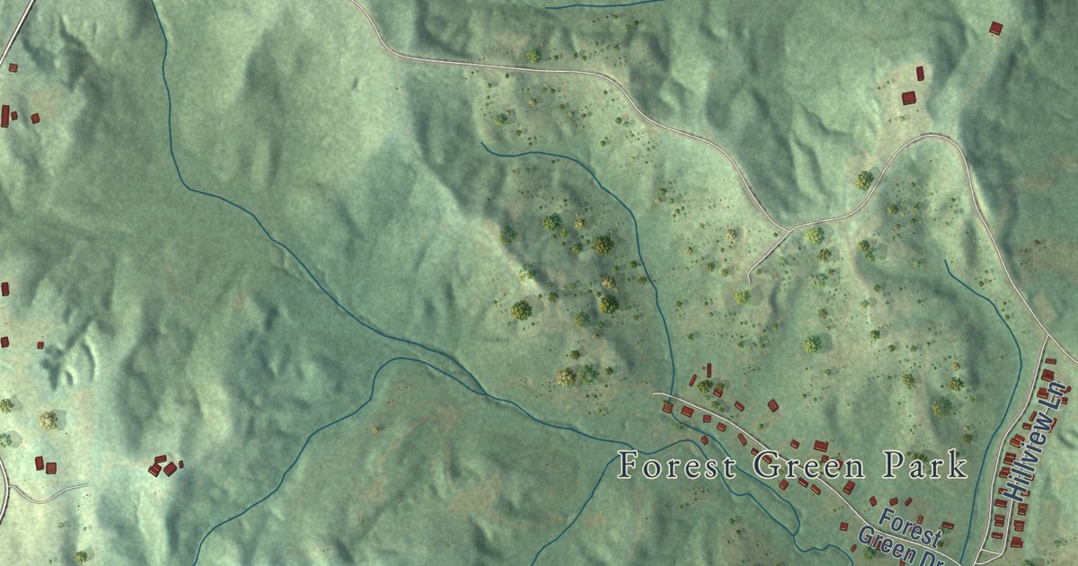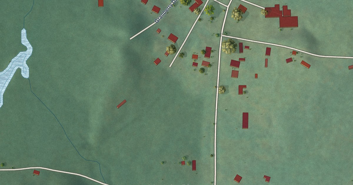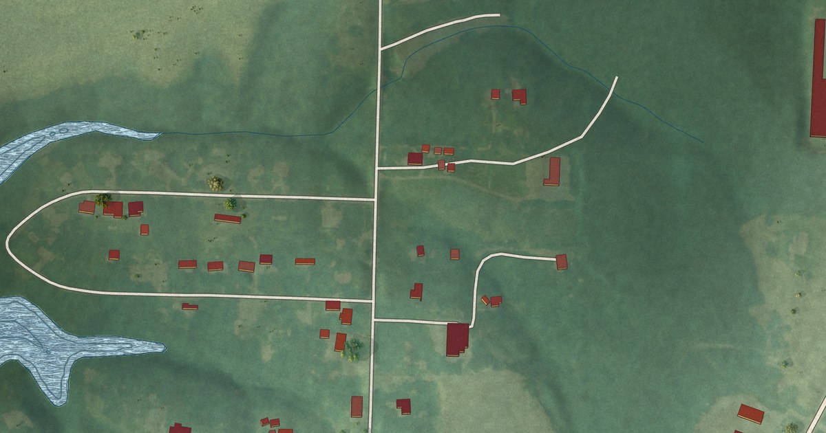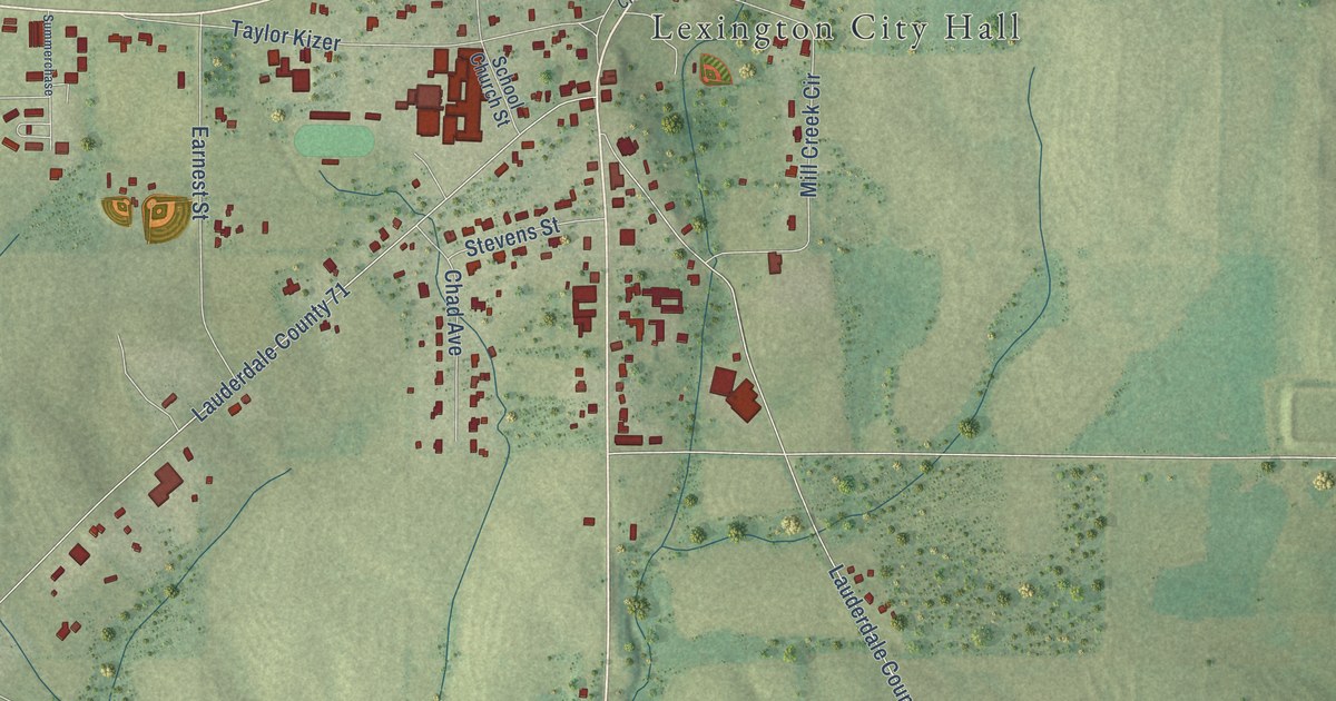
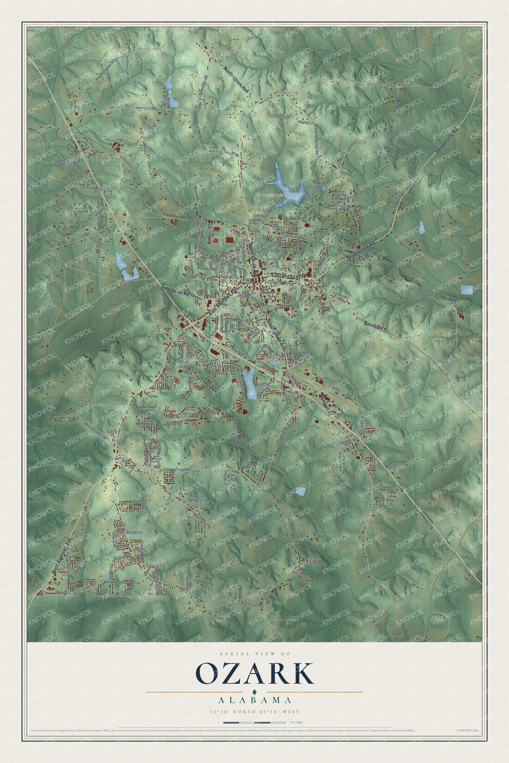
This beautifully detailed map of Ozark, Alabama was created in 2026 using aerial imagery combined with modern topographical, census, street and landmark data. It’s a one-of-a-kind view of Ozark that combines accurate data with a vintage aesthetic. The map shows every building in its true location, many of the roads carry their names, and the shaded topographic relief shows the shape of the land.
Explore an aerial view of Ozark, Alabama
On the map you’ll find Ozark City Hall, Dill, Pleasant Hill, Ed Lisenby Lake Complex, Sam Dale Park, and Marley Mill, along with West Andrews Avenue, North Union Avenue, Skipperville Road, East Andrews Avenue, East Broad Street, South Union Avenue, and more. If you look closely you can even find your house accurately drawn in its correct location. Zoom in on the preview to look for yours.
Did you know this piece of Ozark, Alabama history?
From Encyclopediaofalabama.org: "In 1888, the Central of Georgia Railroad completed a line connecting Eufaula, a center of shipping, to Ozark, and the Alabama Midland Railroad completed a connector line to Troy the following year."
Take a closer look at the Ozark map
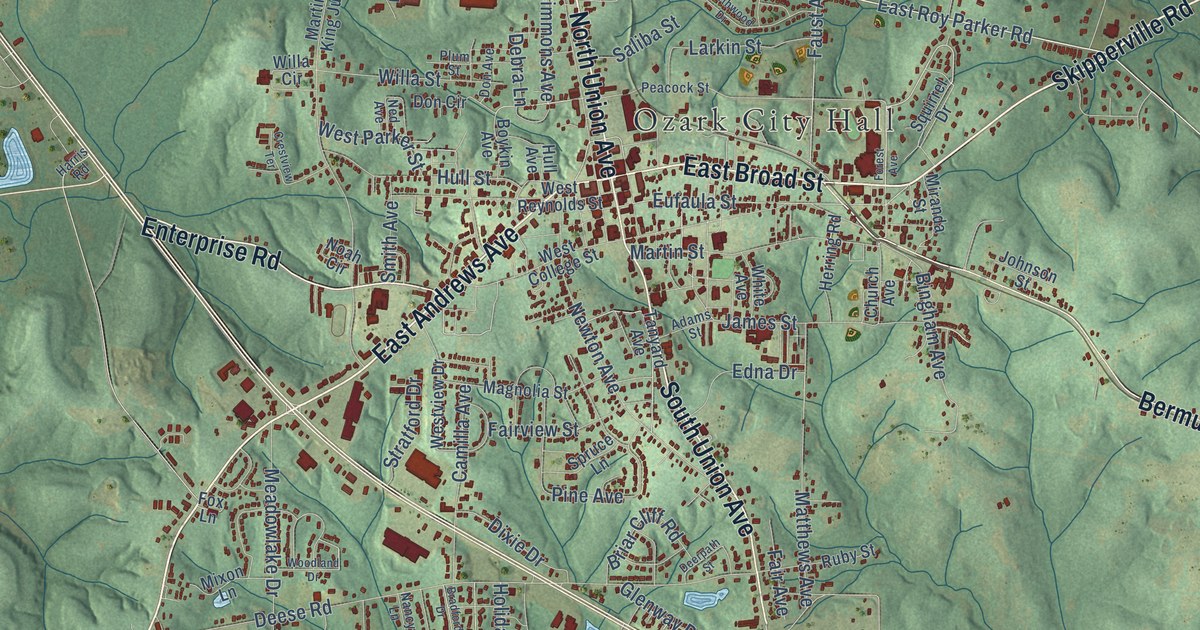
Street and place names on the Ozark, Alabama map
These names are printed on the map of Ozark, Alabama.
Places: Ozark City Hall, Dill, Pleasant Hill, Ed Lisenby Lake Complex, Sam Dale Park and Marley Mill.
Streets and roads: West Andrews Avenue, North Union Avenue, Skipperville Road, East Andrews Avenue, East Broad Street, South Union Avenue, Bermuda Street, Enterprise Road, Campus Drive, Roy Parker Road, East Roy Parker Road, Stuart Tarter Road.
More street names, A to Z
Abbie Lane, Adams Street, Agnes Lane, Alcuri Drive, Alec Circle, Ashley Drive, Balcom Road, Bartow Road, Ben Street, Bill Deloney Road, Bingham Avenue, Black Forest Drive, Blake Drive, Blossom Drive, Bonnie Drive, Boykin Avenue, Bradford Drive, Brae Loch Lane, Brandi Lane, Briar Cliff Road, Brown Drive, Bryan Drive, Bryant Avenue, Camilla Avenue, Campground Road, Carver Drive, Casey Drive, Cherry Lane, Church Avenue, Clarence Deloney Road, Claybank Avenue, Coby Drive, Country Club Drive, Crestview Terrace, Cypress Lane, Dean Church Road, Debra Lane, Deer Path Farms Road, Deerpath Street, Deese Road, Denise Lane, Dixie Drive, Doe Run Road, Don Avenue, Don Circle, Edna Drive, Emma Avenue, Eufaula Street, Fair Avenue, Fairview Street, Fairway Woods Drive, Faust Avenue, Forest Avenue, Foxbrier Drive, Fox Lane, Frank Marshall Road, Fuqua Avenue, Garland Avenue, George Faulk Drive, Gibson Lane, Gill Drive, Glenway Drive, Goff Drive, Green Village Road, Grimes Road, Gunter Street, Hampton Place, Hank Nix Drive, Harris Road, Harry Walker Road, Hawridge Road, Herring Road, Holiday Lane, Holly Hill Road, Hopeful Church Road, Horseshoe Bend Drive, Hub Street, Hudson Circle, Hull Avenue, Hull Street, James Street, Jernigan Loop, Jernigan Road, Jodie Parker Road, Johanna Drive, Johnson Street, Joseph Drive, Julian Street, Juniper Drive, Keirns Court, Keisha Court, Kennesaw Boulevard, Lake Avenue, Lake Helen Road, Lakeland Hills Drive, Lakeview Road, Larkin Street, Mabson Road, Magnolia Street, Mark Avenue, Marley Mill Road, Martin Luther King Junior Avenue, Martin Street, Marvin Parker Road, Matthews Avenue, Meadowlake Drive, Megan Boulevard, Miranda Street, Mixon Lane, Mixon School Road, Morgan Lane, Mose Ware Road, Mosley Road, Murray Road, Myrtle Drive, Nancy Lane, Natchez Way, Neal Avenue, Ned Avenue, Newton Avenue, Noah Circle, North Fork Road, Northwood Drive, Oakhill Drive, Old Village Road, Osteen Road, Parker Drive, Parker Hills Drive, Peacock Street, Periwinkle Lane, Peters Drive, Pierces Station, Pine Avenue, Plum Street, Porter Andrews Road, Quail Hollow Road, Rebecca Lane, Redd Street, Reyes Street, Robin Parker Road, Rolling Hills Drive, Royal Avenue, Ruby Street, Ryan Drive, Saliba Street, Sam Lisenby Road, Sandy Drive, Shadow Woods Lane, Sharon Lane, Sherril Lane, Simmons Avenue, Smith Avenue, South Street, Springdale Lane, Spruce Lane, Squirrel Drive, Stanford Place, Stratford Drive, Sunny Acres Drive, Susan Lane, Susie Drive, Tanyard Avenue, Tharpe Drive, Troy Street, Van Heusen Drive, Walker Road, Walter Hand Junior Drive, Wesley Drive, West College Street, West Parker Street, West Reynolds Street, Westview Drive, White Avenue, Whittle Hudson Road, Willa Circle, Willa Street, Will Logan Road, Willow Oaks Drive, Willow Ridge Lane, Wooded Lane, Woodland Drive.
See the Ozark, Alabama map on a wall
The Ozark map as an 18 x 24 inch print in a black frame.

This beautifully detailed map of Ozark makes an attractive addition to your office, library, or den, and it can even be used to teach children the geography and history of the area. It also makes a great gift for someone who left Ozark and still calls it home. When you’re done exploring, click here to get your copy of the Ozark map.