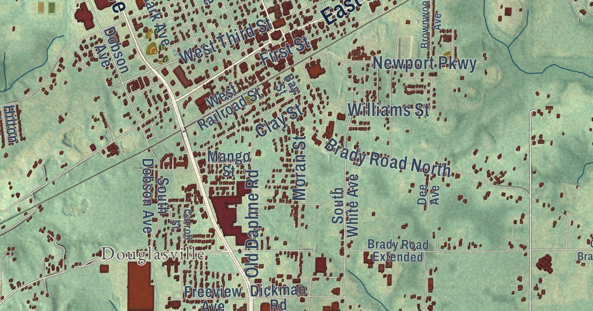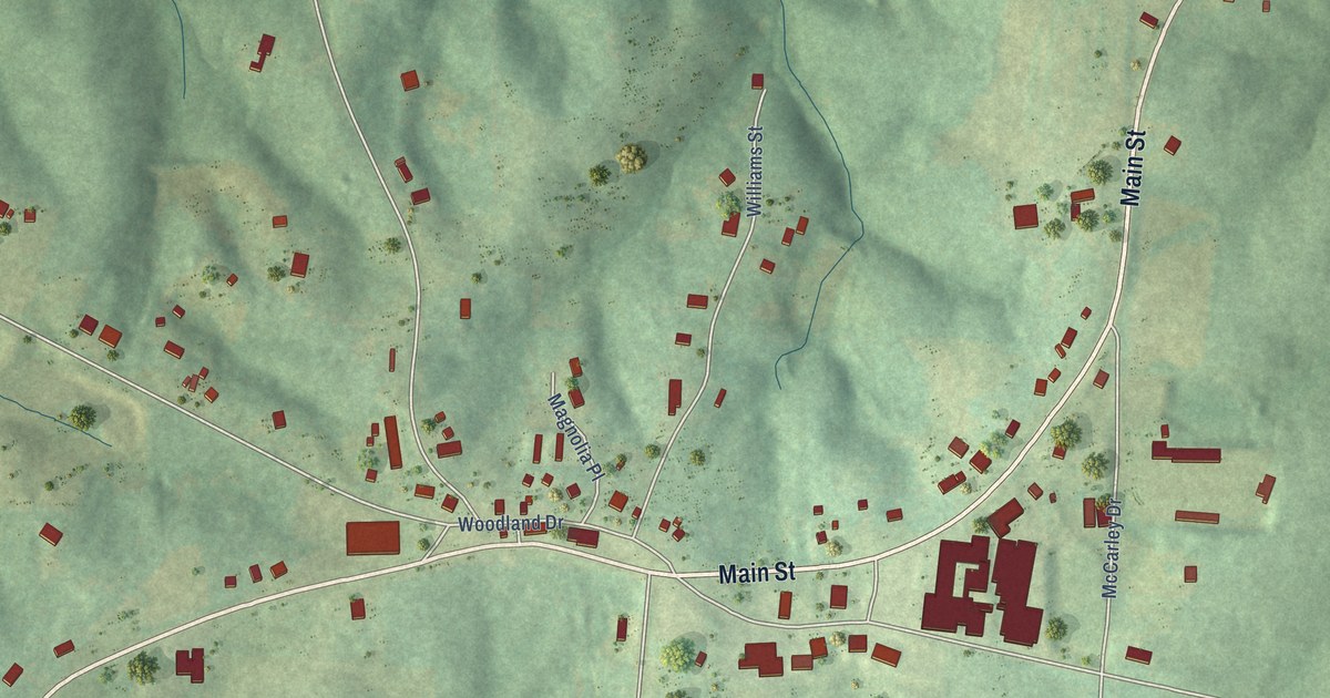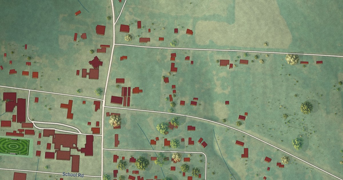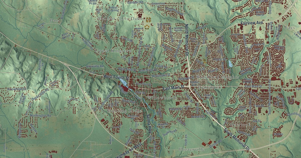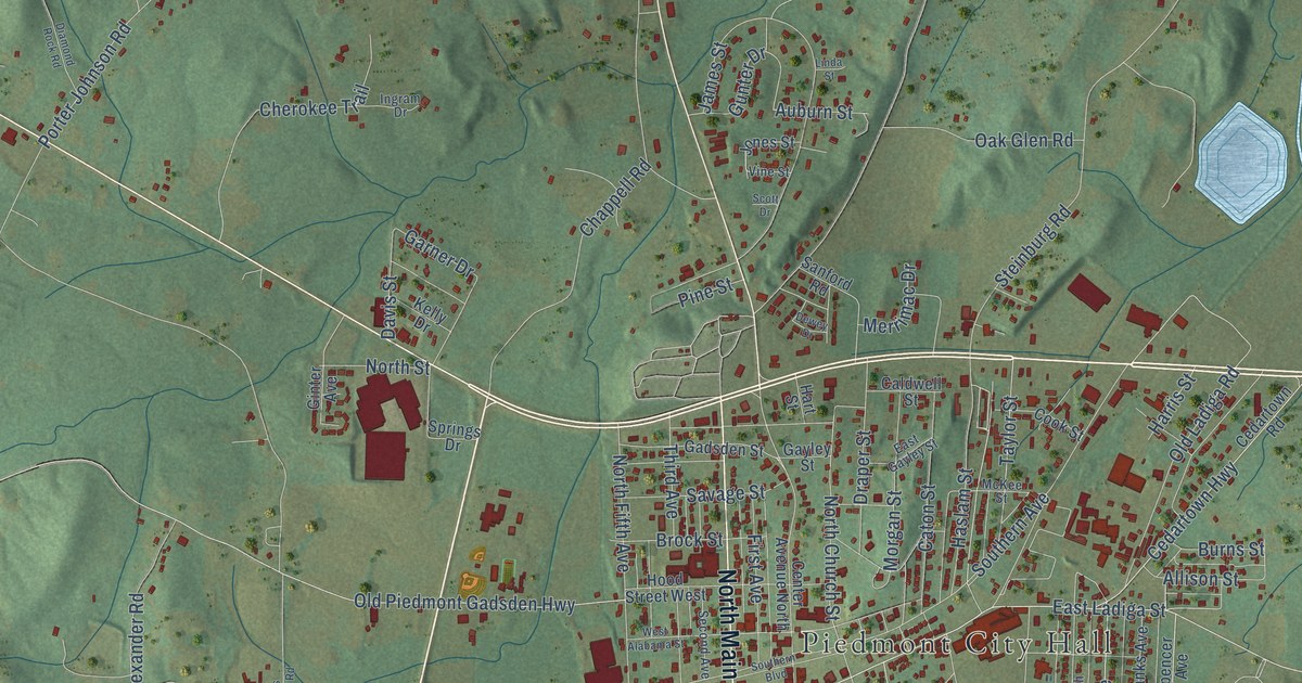
This beautifully detailed map of Piedmont, Alabama was created in 2026 using aerial imagery combined with modern topographical, census, street and landmark data. It’s a one-of-a-kind view of Piedmont that combines accurate data with a vintage aesthetic. The map shows every building in its true location, many of the roads carry their names, and the shaded topographic relief shows the shape of the land.
Explore an aerial view of Piedmont, Alabama
On the map you’ll find Piedmont City Hall, along with Memorial Drive, South Main Street, North Main Street, Al Highway 9, East Ladiga Street, Center Avenue, Taylor Street, Cherry Street, Spencer Street, Southern Avenue, North Church Street, and more. If you look closely you can even find your house accurately drawn in its correct location. Zoom in on the preview to look for yours.
Did you know this piece of Piedmont, Alabama history?
From Encyclopediaofalabama.org: "The Piedmont Electric Light and Generating Company brought the first electricity, from a steam-powered generator, in the very early twentieth century."
Take a closer look at the Piedmont map
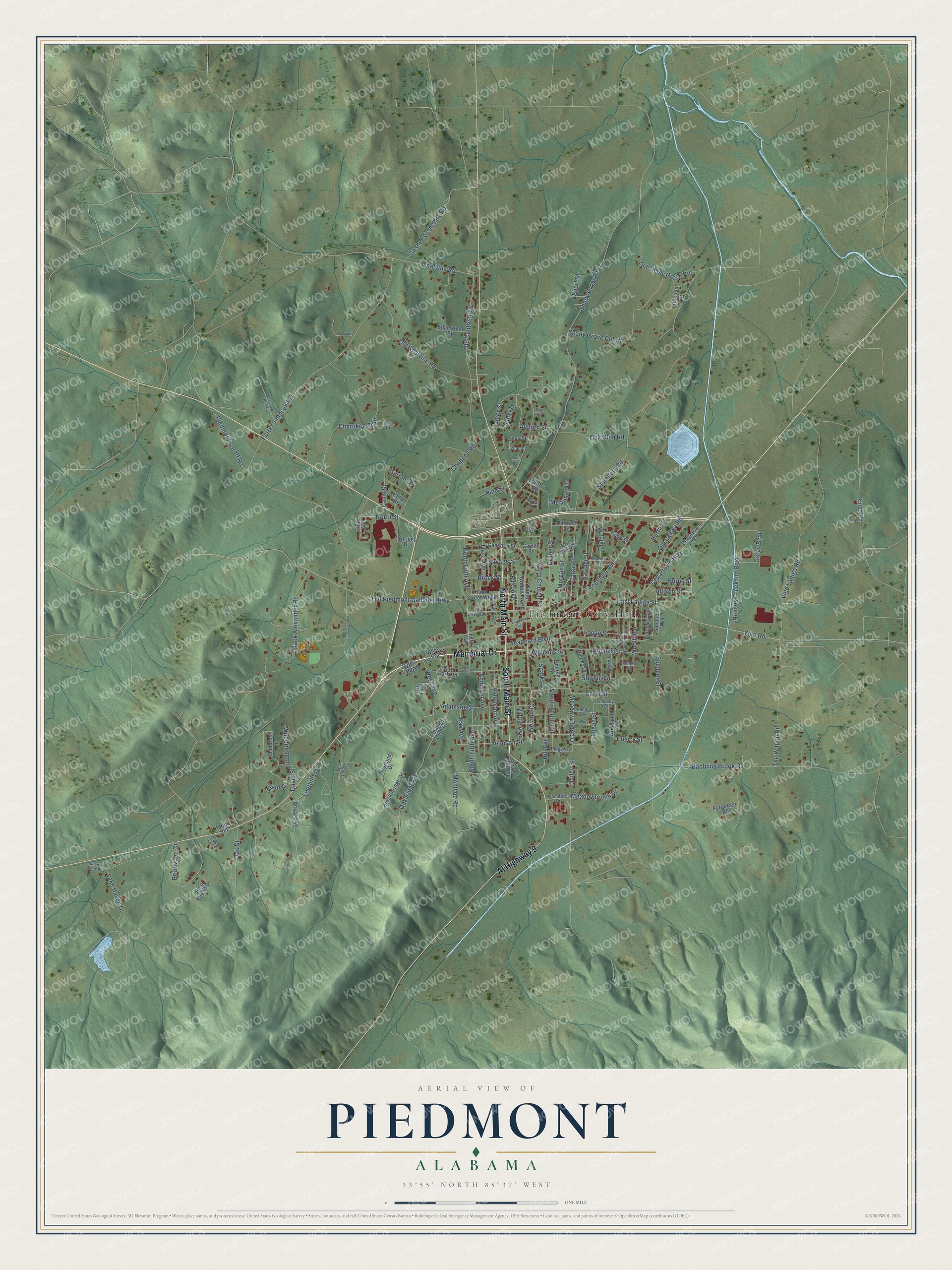
Street and place names on the Piedmont, Alabama map
These names are printed on the map of Piedmont, Alabama.
Places: Piedmont City Hall.
Streets and roads: Memorial Drive, South Main Street, North Main Street, Al Highway 9, East Ladiga Street, Center Avenue, Taylor Street, Cherry Street, Spencer Street, Southern Avenue, North Church Street, South Church Street.
More street names, A to Z
Adams Lane, Adamson Street, Allen Street, Allison Street, Anniston Avenue, Auburn Street, Babbling Brook Road, Bragg Boulevard, Breckinridge Drive, Briarwood Circle, Brock Street, Burns Street, Caldwell Street, Calhoun Street, Carol Street, Caton Street, Cedartown Highway, Cedartown Road, Center Avenue North, Chappell Road, Cherokee Trail, Church Street, City Park Road, Cook Street, Dailey Street, David Street, Davis Street, Dempsey Avenue, Dewey Drive, Diamond Rock Road, Draper Street, East Gayley Street, Edgewood Street, Eubanks Avenue, Fagan Street, Fifth Avenue, First Avenue, Foothills Drive, Forgotten Road, Foskett Street, Gadsden Street, Garcy Boulevard, Garner Drive, Gayley Street, Ginter Avenue, Gnatville Road, Goshen Cemetary Road, Gunter Drive, Haines Drive, Harris Avenue South, Harris Street, Hart Street, Haslam Street, Hill Avenue, Hood Street West, Hughes Street, Ingram Drive, James Street, Johnson Street, Jones Street, Jug Hollow, Katoma Creek Road, Kelly Drive, Kines Road, Knobb Hill, Lake Haven Drive, Linda Street, Littlejohn Drive, Logan Street, Mack Alexander Road, McCurdy Lane, McKee Street, Meadowbrook Drive, Meadow Ridge Drive, Merrimac Drive, Montvue Road, Morgan Street, Nances Creek Ind Boulevard, North Fifth Avenue, North Street, Oak Glen Road, Oak Hill Drive, Oak Ridge Lane, Oak Street, Old Centre Highway, Old Gnatville Road, Old Ladiga Road, Old Piedmont Gadsden Highway, Old Shady Grove Road, Overland Drive, Piedmont Avenue, Piedmont Cutoff Road, Pine Glenn Drive, Pine Street, Porter Johnson Road, Racquet Club Drive, Ray Avenue, Riddle Avenue, Ridgeway Drive, Roundtree Drive, Sanford Road, Savage Street, Scott Drive, Seaboard Boulevard, Second Avenue, Shady Grove Cutoff, Shady Grove Road, Shamrock Lane, Short Street, Southern Boulevard, South Fifth Avenue, Sparks Street, Spencer Avenue, Sports Complex Road, Springs Drive, Steinburg Road, Sterling Street, The Wagon Road, Third Avenue, Vandy Avenue, Vigo Ladiga Road, Vigo Road, Vine Street, Walker Street, West Alabama Street, West Avenue, West Ladiga, West Ladiga Street, White Street, Williams Street, Woodland Avenue, Woodridge Drive, Woolf Avenue.
See the Piedmont, Alabama map on a wall
The Piedmont map as an 18 x 24 inch print in a black frame.

This beautifully detailed map of Piedmont makes an attractive addition to your office, library, or den, and it can even be used to teach children the geography and history of the area. It also makes a great gift for anyone with Piedmont roots. When you’re done exploring, click here to get your copy of the Piedmont map.