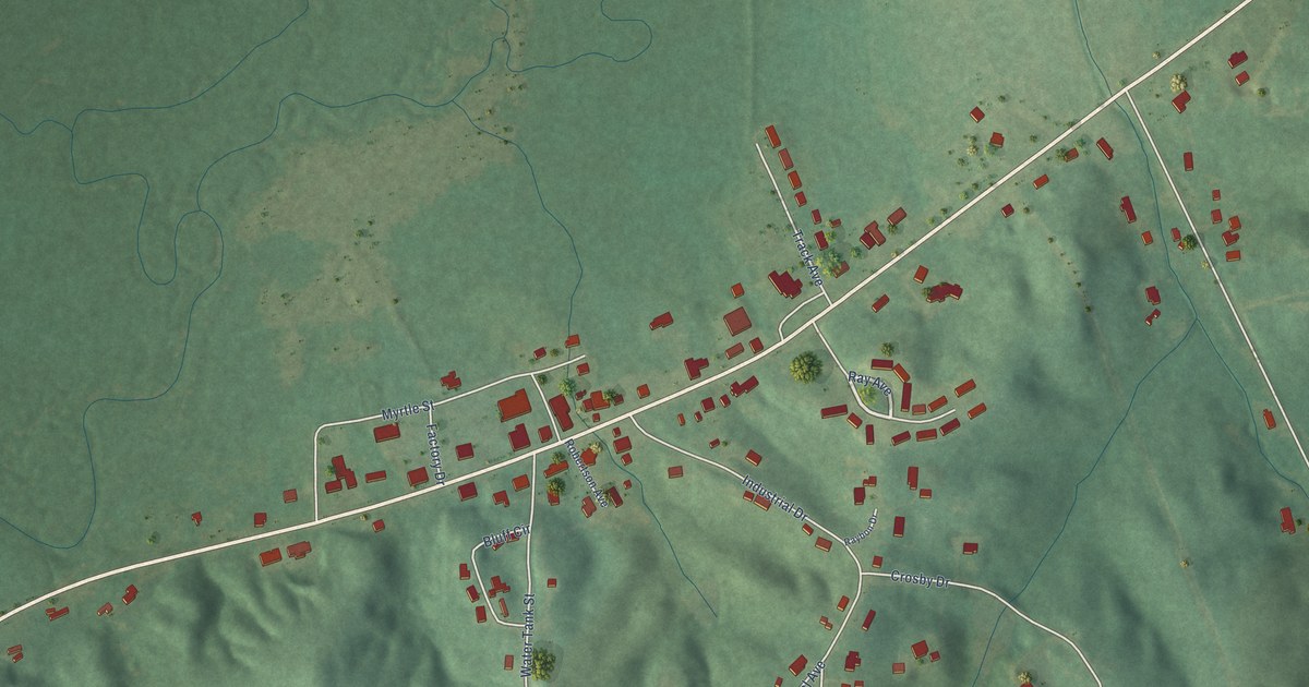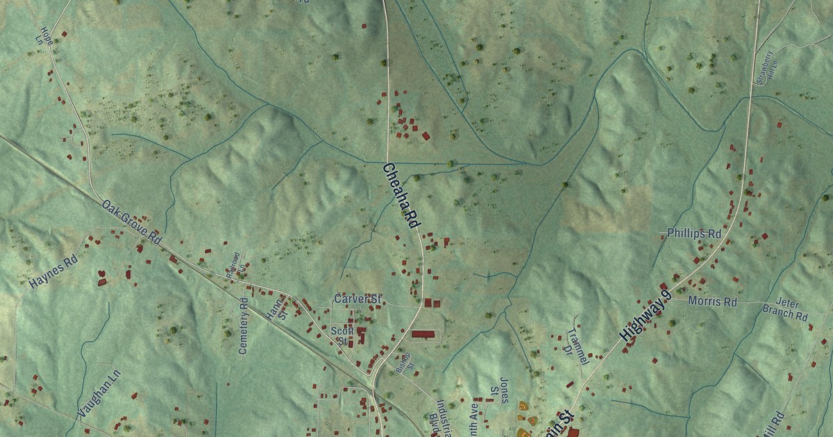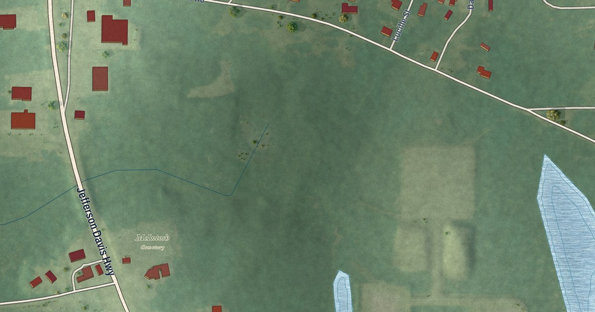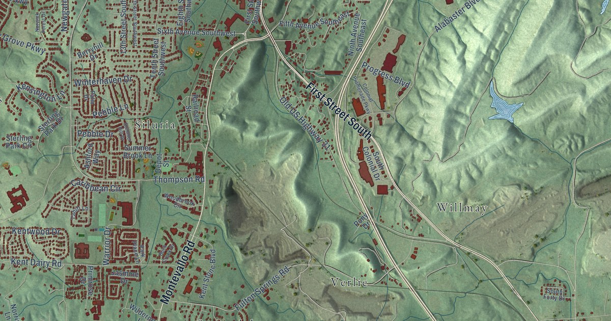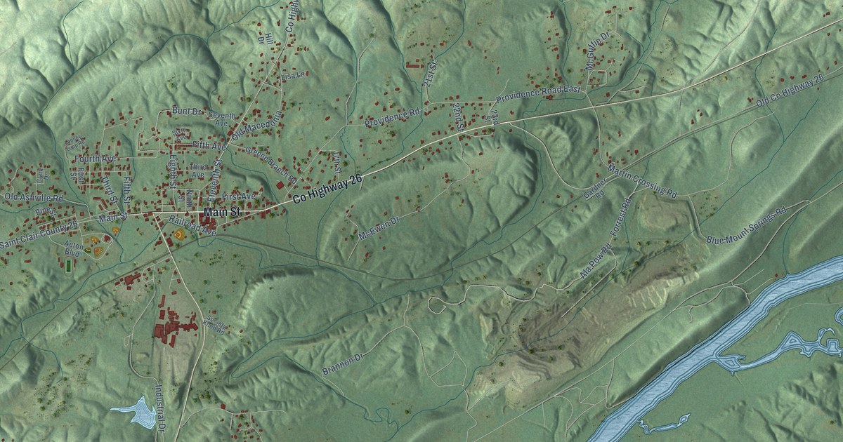
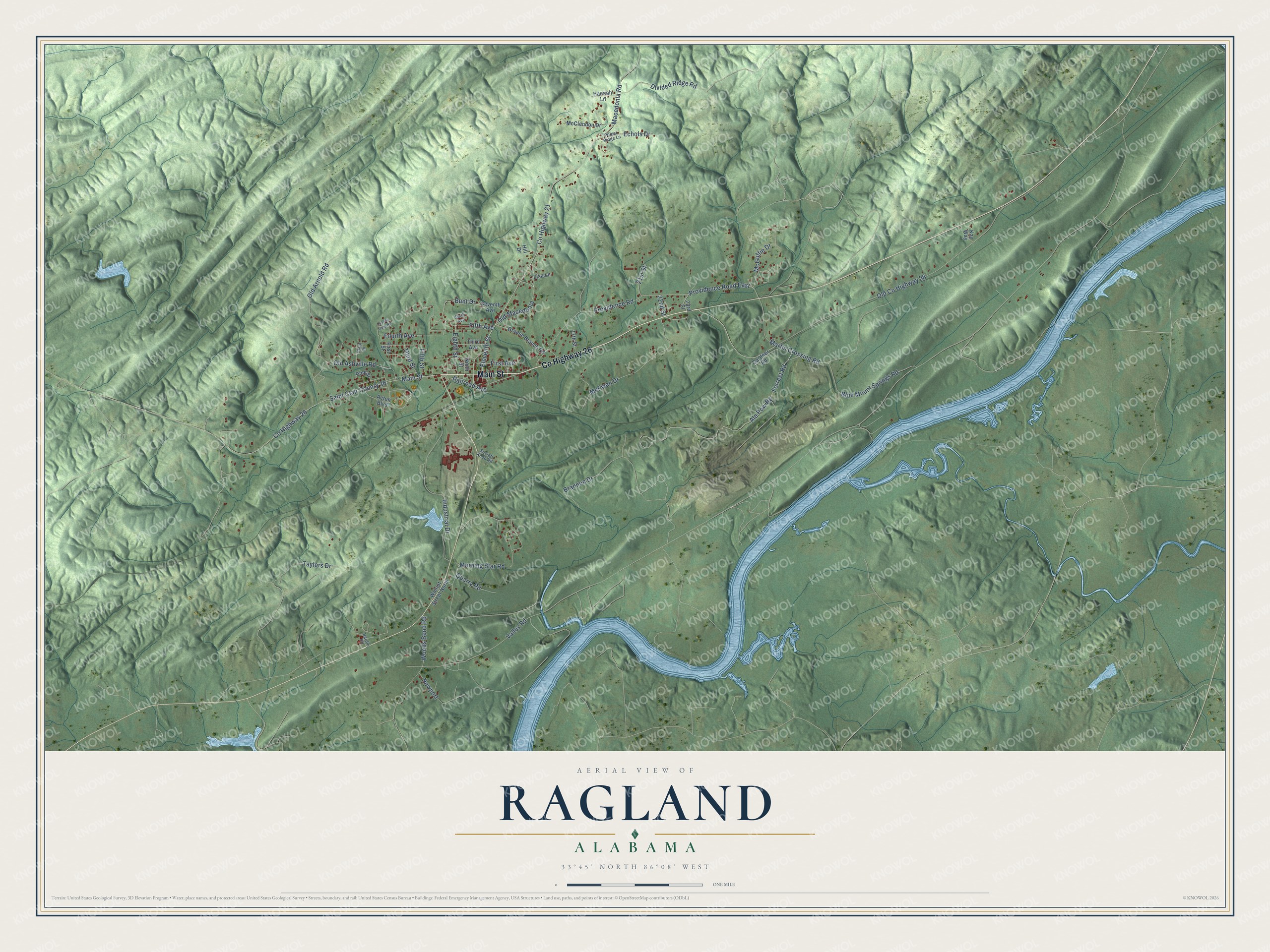
This beautifully detailed map of Ragland, Alabama was created in 2026 using aerial imagery combined with modern topographical, census, street and landmark data. It's a modern aerial view of Ragland in St. Clair County, Alabama, that combines modern data with a vintage aesthetic. The roads feature printed names, and if you look closely you can find your exact house accurately shown in its correct location.
Explore an aerial view of Ragland, Alabama
On this map you'll find Co Highway 26, Main Street, Old Co Highway 26, Fifth Avenue, Eleventh Street, First Avenue, Fourth Avenue, Providence Road East, Co Highway 21, Macedonia Road, Industrial Drive, McGuffie Drive, and more. Each red shape is a building, so zoom in on the preview and look for yours.
Ragland has a story worth telling. The record at encyclopediaofalabama.org puts it this way: "The Ragland Depot Museum is open by appointment and houses railroad history artifacts as well as artifacts from the town's history."
Ragland is a town in St. Clair County. The Census Bureau counted 1,693 people here in 2020.
Take a closer look at the Ragland map
Names on this map
These names are printed on this map.
Streets and roads: County Highway 26, Main Street, Old County Highway 26, Fifth Avenue, Eleventh Street, First Avenue, Fourth Avenue, Providence Road East, County Highway 21, Macedonia Road, Industrial Drive, McGuffie Drive.
More street names, A to Z
17th Street, 21st Street, 22nd Street, 23rd Street, Acton Boulevard, Ala Pow Road, Blue Mount Springs Road, Brannon Drive, Bunt Drive, Clark Drive, Divided Ridge Road, Echols Drive, Eighth Street, Fifth Street, First Street, Forrest Road, Gardner Road, Greene Branch Road, Hannah Lane, Hardin Road, Hill Drive, Kay Way, Lisa Lane, Looney Loop Road, Martin Crossing Road, McClendon Drive, McEwen Drive, Morning Star Road, Newport, Ninth Street, Old Arnold Road, Old Ashville Road, Old Macedonia, Pine Street, Polpar Ridge Lane, Providence Road, Quarry Road, Railroad Avenue, Saint Clair County 26, Seventh Avenue, Sixth Avenue, Society Knob Road, Taylors Drive, Third Avenue, Third Street, Valley Road, Walnut Street North, Woods Bend Road.
Created by KNOWOL in 2026. The buildings are small red shapes, the roads carry their printed names, and shaded relief shows the shape of the land. The title panel reads "AERIAL VIEW OF RAGLAND ALABAMA" with 33°45' NORTH 86°08' WEST.
It looks right in a kitchen, an office or a den, and it's a gift for anyone who grew up in Ragland or moved away. Open the preview and find your street. See sizes and frames for the Ragland map.