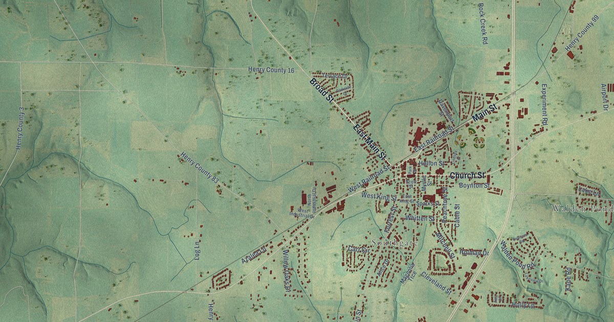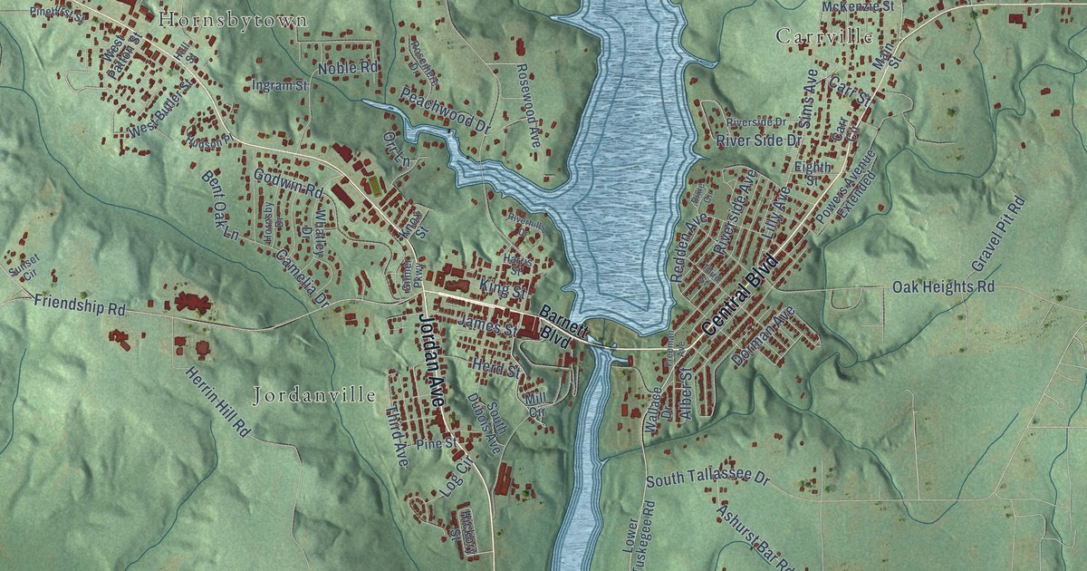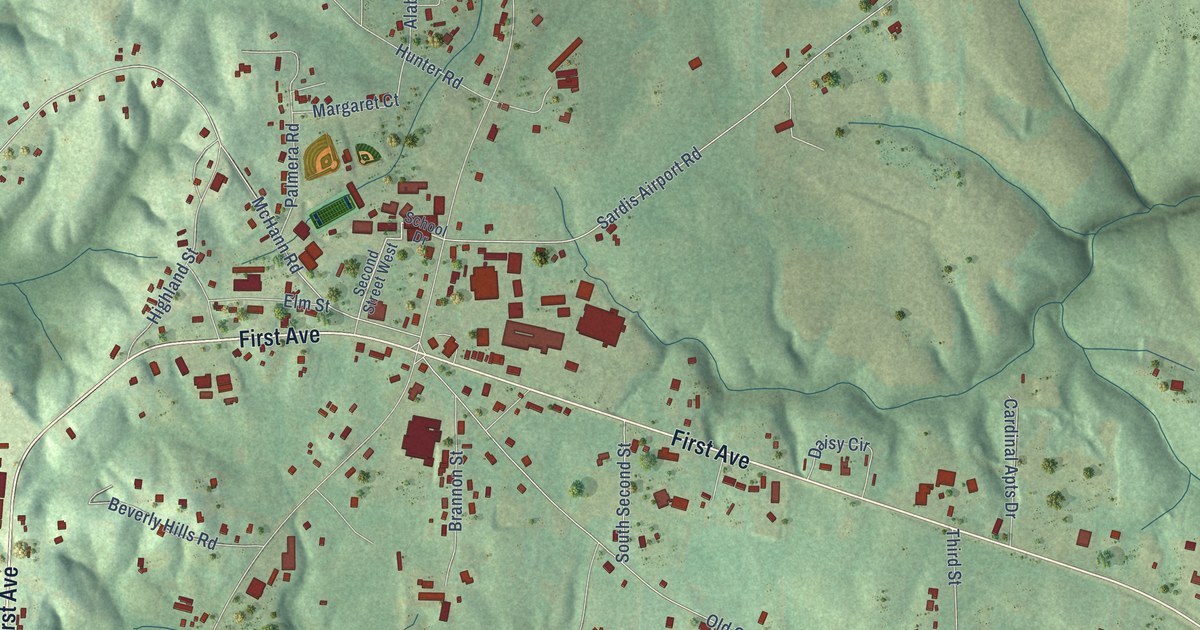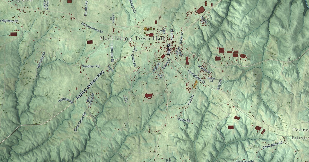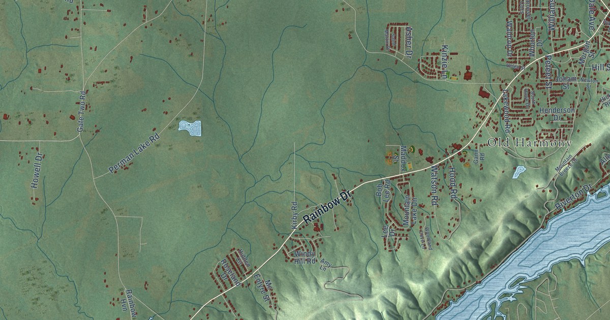
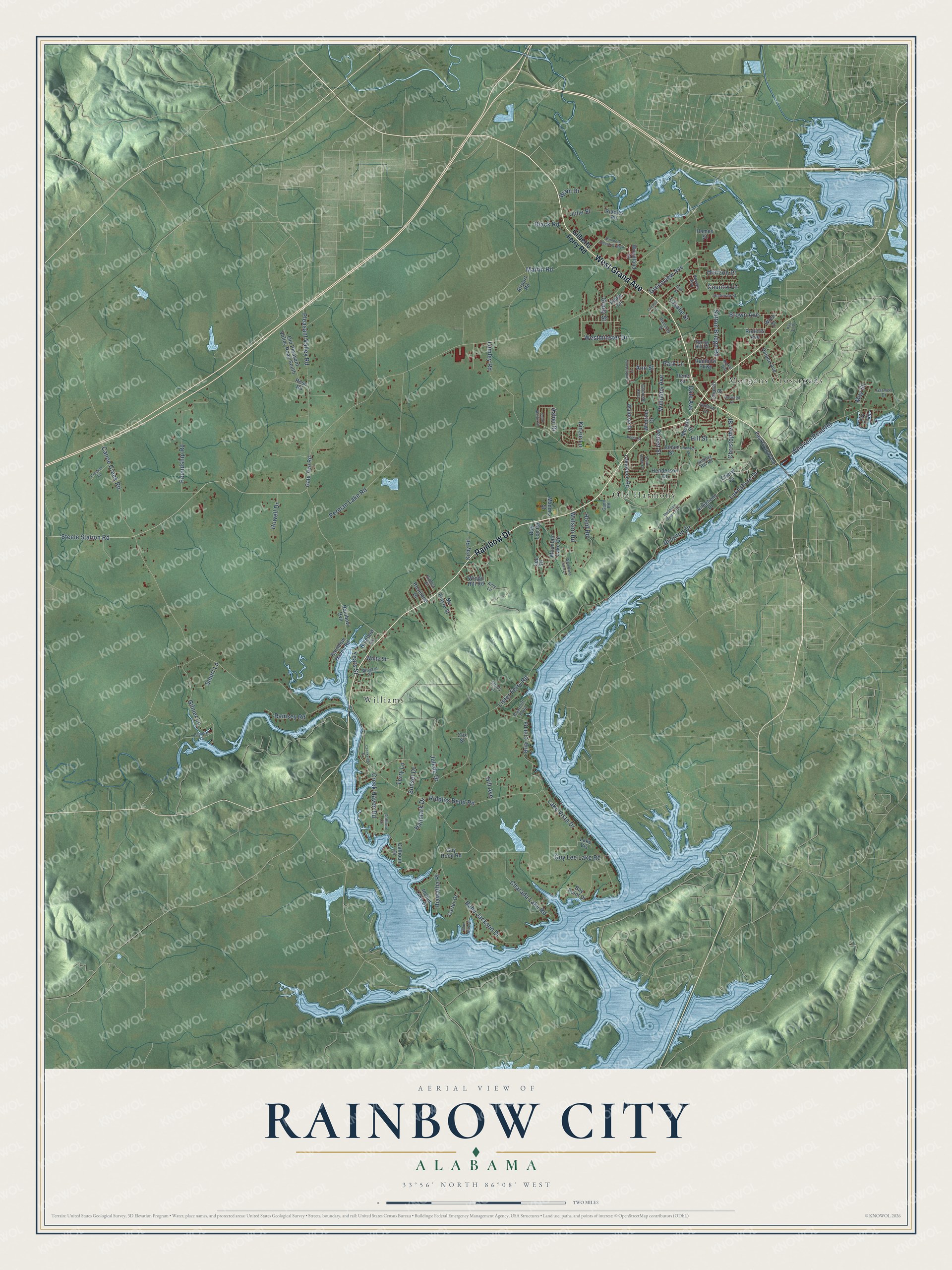
This beautifully detailed map of Rainbow City, Alabama was created in 2026 using aerial imagery combined with modern topographical, census, street and landmark data. It's a modern aerial view of Rainbow City in Etowah County, Alabama, that combines modern data with a vintage aesthetic. The roads feature printed names, and if you look closely you can find your exact house accurately shown in its correct location.
Explore an aerial view of Rainbow City, Alabama
On this map you'll find Morgans Crossroads, Old Harmony, Williams, Rainbow Drive, West Grand Avenue, Steele Station Road, Riddles Bend Road, Lister Ferry Road, Canoe Creek Road, Pleasant Valley Road, Lumley Road, Friendship Road, and more. Each red shape is a building, so zoom in on the preview and look for yours.
Rainbow City has a story worth telling. The record at encyclopediaofalabama.org puts it this way: "The area that now includes Rainbow City was first settled in 1818, when farming families from the Carolinas and Georgia began to migrate westward in search of new agricultural and mercantile opportunities."
Rainbow City is a city in Etowah County. The Census Bureau counted 10,191 people here in 2020.
Take a closer look at the Rainbow City map
Names on this map
These names are printed on this map.
Places: Morgans Crossroads, Old Harmony and Williams.
Streets and roads: Rainbow Drive, West Grand Avenue, Steele Station Road, Riddles Bend Road, Lister Ferry Road, Canoe Creek Road, Pleasant Valley Road, Lumley Road, Friendship Road, Perman Lake Road, Sutton Bridge Road, Babe Jackson Drive.
More street names, A to Z
Airport Road, Allegheny Drive, Amy Lane, Ann Street, Asher Drive, Bay Point Drive, Black Road, Blue Bird Lane, Bob Lee Road, Briarcliff Point, Briar Cliff Road, Brown Avenue, Calhoun Circle, Calhoun Drive, Carousel Cors, Carter Drive, Charada Lake Road, Cheryl Lane, Christopher Street, Church Street, Country Lane, Cox Street, Creek Haven Road, Creekview Drive, Cresent Court, Crosson Road, Cumberland Lane, Dale Avenue, Diversey Street, East Grand Avenue, Eddie Circle, Gann Road, Garmon Drive, Gate Two Road, Gilberts Ferry Road, Gilmer Lane, Grady Street, Greenview Avenue, Guy Hood Road, Guy Lee Lake Road, Hallmark Drive, Hames Street, Hayden Avenue, Helen Street, Henderson Drive, Hiawatha Place, Hickman Street, Hickory Hill Road, Hidden Circle, Hill Avenue, Hill Street, Hood Road, Horizon Place, Howell Drive, Ilene Street, Indian Lake Drive, Ivanhoe Lane, Ivy Trail, Joham Street, Josh Street, Julede Drive, Julie Street, Kay Lu Drive, Kinzie Lane, Kirby Road, Lakeshore Drive, Lake Vis, Lake Vista Drive, Lakewood Road, Lasalle Street, Lee Drive, Maddox Street, Market Way, Martin Road, May Street, Mc Entyre Street, Minyard Street, Morgan Street, Mountain Breeze Court, Mountain Lake Circle, Newton Street, Norwood Drive, Old Pleasant Valley Road South, Palace Avenue, Paradise Cv, Park Lane, Peteet Street, Rainbow Cv, Rainbow Haven Road, Rainbow Hvn, Rainbow Industrial Boulevard, Rainbow Parkway, Ramsey Road, Riddles Road, Riverton Drive, Roberts Avenue, Roseland Drive, Rose Road, Saint Martin Drive, Shady Lane, Smurf Lane, South Hawk Drive, Spring Hill Drive, Sunset Drive, Terry Lane, Wain Drive, Waldrop Drive, Watson Road, Westminster Drive, White Street, Whorton Bend Road, Whorton Drive, Williams Avenue, Windy Hill Road, Woodland Cove Lane, Woodland Drive, Wren Drive, Yeats Street.
Created by KNOWOL in 2026. The buildings are small red shapes, the roads carry their printed names, and shaded relief shows the shape of the land. The title panel reads "AERIAL VIEW OF RAINBOW CITY ALABAMA" with 33°56' NORTH 86°08' WEST.
It looks right in a kitchen, an office or a den, and it's a gift for anyone who grew up in Rainbow City or moved away. Open the preview and find your street. See sizes and frames for the Rainbow City map.