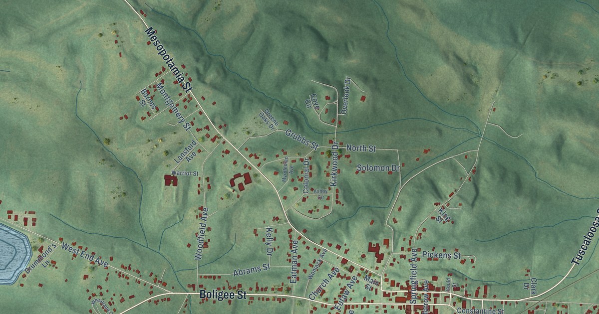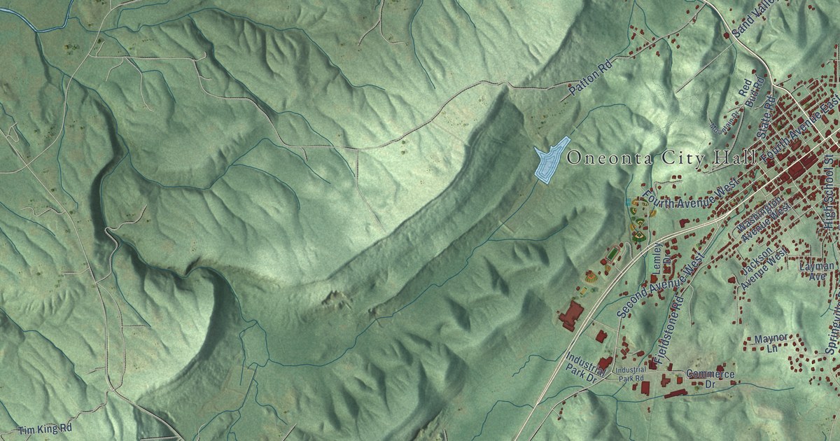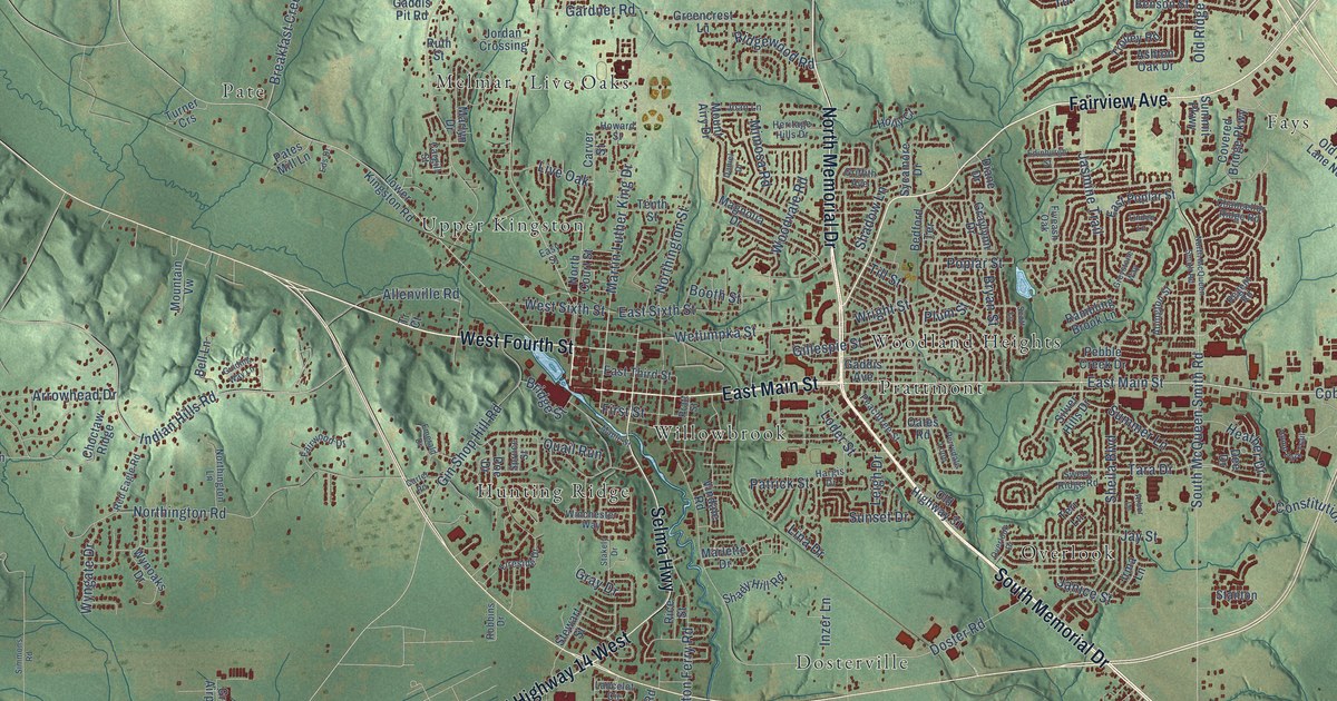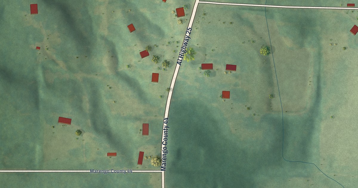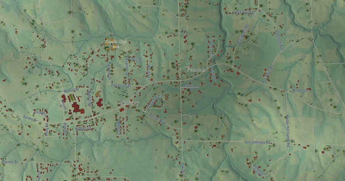
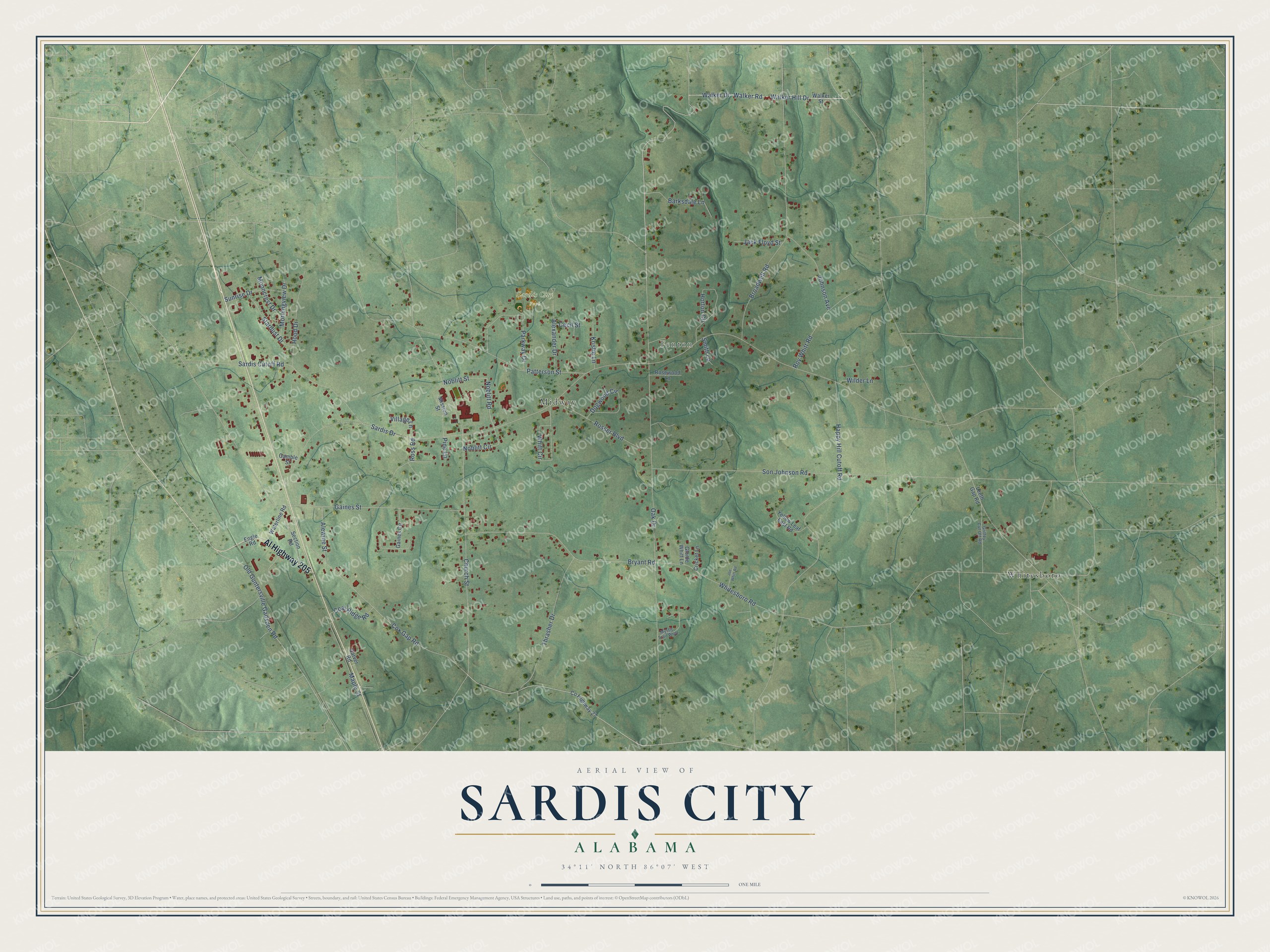
This beautifully detailed map of Sardis City, Alabama was created in 2026 using aerial imagery combined with modern topographical, census, street and landmark data. It's a modern aerial view of Sardis City in Etowah County, Alabama, that combines modern data with a vintage aesthetic. The roads feature printed names, and if you look closely you can find your exact house accurately shown in its correct location.
Explore an aerial view of Sardis City, Alabama
On this map you'll find Fenton, Sardis City Park, Midway, Whitesboro, Al Highway 205, Walker Drive, Walker Hill Drive, Walker Road, Oak Drive, Whitesboro Road, Sardis Drive, Church Street, and more. Each red shape is a building, so zoom in on the preview and look for yours.
Here is a piece of Sardis City history, in the words of the record. The record at encyclopediaofalabama.org puts it this way: "Cotton agriculture was the major economic driver in the Sardis City area, and in the early part of the twentieth century a steam-driven gin was built to process the raw cotton."
Sardis City is a town in Etowah County. The Census Bureau counted 1,814 people here in 2020.
Take a closer look at the Sardis City map
Names on this map
These names are printed on this map.
Places: Fenton, Sardis City Park, Midway and Whitesboro.
Streets and roads: Al Highway 205, Walker Drive, Walker Hill Drive, Walker Road, Oak Drive, Whitesboro Road, Sardis Drive, Church Street, Cox Gap Road, Patterson Street, Happy Hill Cutoff Road, Broadwell Road.
More street names, A to Z
Alewine Street, Alexander Drive, Barksdale Lane, Bryant Road, Carver Road, Cecil Street, Coal Ridge Road, County Highway 27, Cricket Lane, Dogwood Circle, Engle Road, Gaines Circle, Gaines Street, Gamble Street, Gloide Whitt Lane, Griffey Cut Off Road, Hood Drive, Horton Circle, Jack Floyd Street, Joe Whitt Road, Johnson Avenue, Kristie Lane, Leeth Gap Road, Maple Street, Mission Street, Mooncrest Drive, Morningview Drive, Mystic Trail West, Noblitt Circle, Noblitt Road, Noblitt Street, Old Guntersville Gadsden Road, Parkway Drive, Pine Lane, Rosewood Lane, Rosser Boulevard, Ross Road, Roy Whitt Road, Sardis Cutoff Road, Section Road, Smith Lane, Son Johnson Road, Stardust Drive, Sunrise Drive, Thrasher Drive, Village Lane, Walker Street, Waterline Road, Whitt Circle, Wilder Lane, Yellow Leaf East Road.
Created by KNOWOL in 2026. The buildings are small red shapes, the roads carry their printed names, and shaded relief shows the shape of the land. The title panel reads "AERIAL VIEW OF SARDIS CITY ALABAMA" with 34°11' NORTH 86°07' WEST.
It suits a den, a classroom or a front hall, and it makes a gift for anyone with Sardis City roots. Open the preview and find the block you know. See sizes and frames for the Sardis City map.