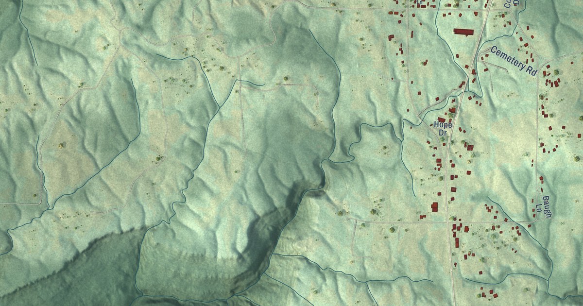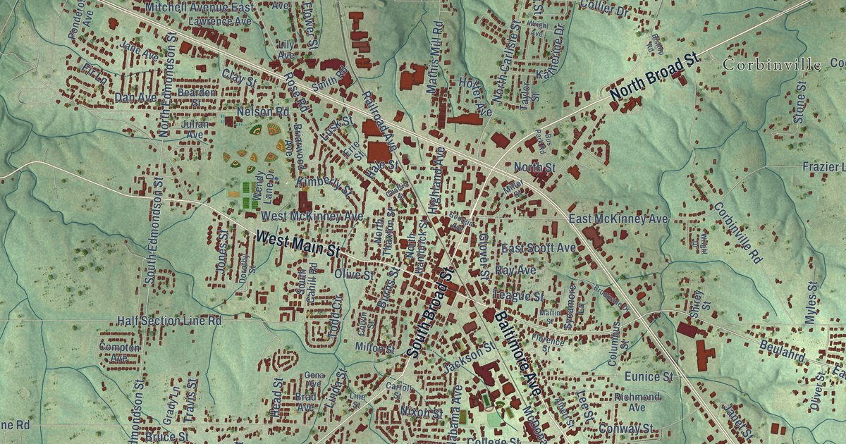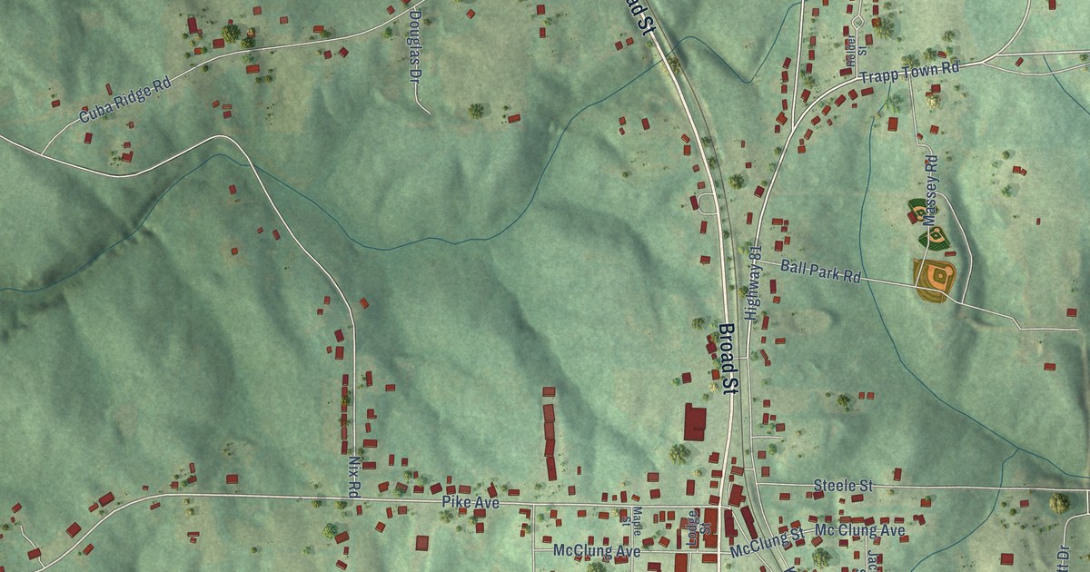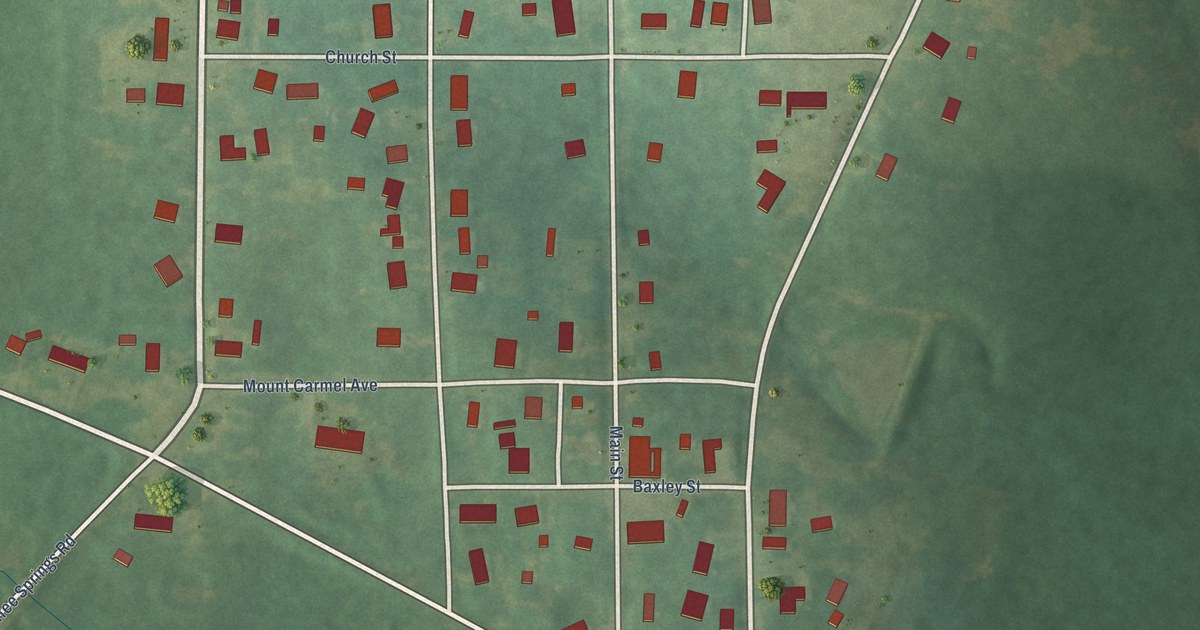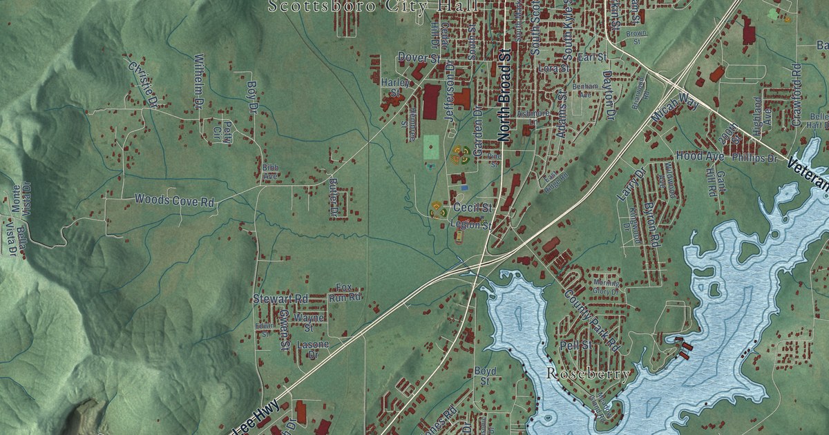
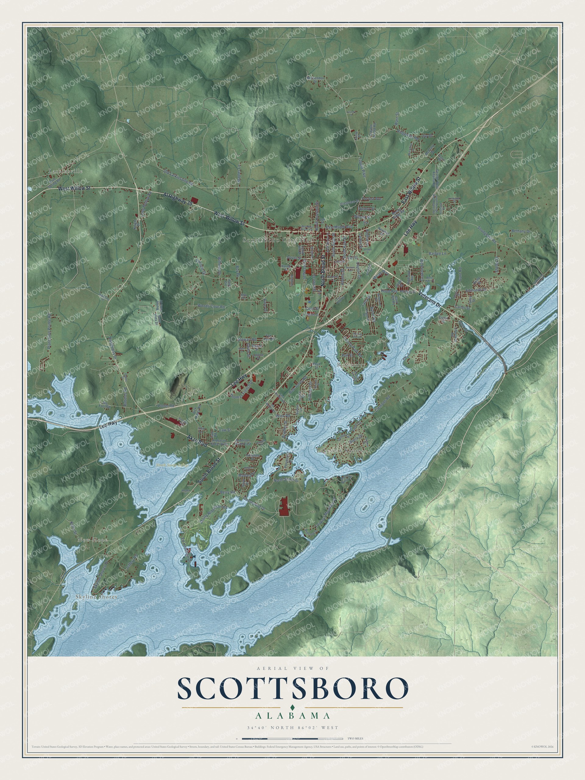
This beautifully detailed map of Scottsboro, Alabama was created in 2026 using aerial imagery combined with modern topographical, census, street and landmark data. It's a modern aerial view of Scottsboro in Jackson County, Alabama, that combines modern data with a vintage aesthetic. The roads feature printed names, and if you look closely you can find your exact house accurately shown in its correct location.
Explore an aerial view of Scottsboro, Alabama
On this map you'll find Scottsboro City Hall, Larkinsville, Skyline Shores, New Hope, North Sauty Refuge, Lakeview Shores, Roseberry, West Willow Street, North Broad Street, Veterans Drive, East Willow Street, South Broad Street, and more. Each red shape is a building, so zoom in on the preview and look for yours.
Here is a piece of Scottsboro history, in the words of the record. The record at encyclopediaofalabama.org puts it this way: "Scottsboro Industry From its founding and through the first half of the twentieth century, Scottsboro's economy was based largely on agriculture and lumber production, but the creation of the federal Tennessee Valley Authority (TVA) in 1933 set Scottsboro and the surrounding region on a different economic path."
Scottsboro is a city in Jackson County. The Census Bureau counted 15,578 people here in 2020.
Take a closer look at the Scottsboro map
Names on this map
These names are printed on this map.
Places: Scottsboro City Hall, Larkinsville, Skyline Shores, New Hope, North Sauty Refuge, Lakeview Shores and Roseberry.
Streets and roads: West Willow Street, North Broad Street, Veterans Drive, East Willow Street, South Broad Street, Lee Highway, Akzo Boulevard, Al Highway 35, Woods Cove Road, Tupelo Pike, Dover Street, Jeffery Road.
More street names, A to Z
200th Street, Adams Street, Anderson Street East, Anderson Street West, Ashmore Lane, Barbee Lane, Bella Vista Drive, Belle Hart Drive, Benham Avenue, Berry Road, Bethany Drive, Bibb Avenue, Big Foot Road, Bingham Street, Blue Spring Road, Bob Jones Road, Boy Drive, Boyd Street, Bradley Street, Briarwood Road, Brown Street, Bruce Drive, Butler Drive, Byron Road, Camille Street, Carter Street, Cecil Street, Cedar Hill Drive, Cherokee Road, Christie Drive, Clayton Arnold Road, Clemons Road, Country Lane, County Park Road, Crawford Road, Crestview Drive, Dayton Drive, Dick Hayes Road, Dock Street, Driftwood Shores Drive, Earl Street, East Maple Avenue, East Ridge Road, East Stewart Road, Ed Hembree Drive, Edmonds Drive, Edwin Street, Floyd Circle, Forrest Avenue, Fox Run Road, Gant Hill Road, Gant Road, Garden Drive, Gentle Circle, George West Adams Road, Goodyear Boulevard, Goosepond Drive, Green Street, Gwen Street, Happiness Drive, Harley Street, Hembree Street, Highland Avenue, Hillcrest Drive, Hillsdale Drive, Hood Avenue, Ida Moody Road, Jefferson Drive, Joy Drive, Keasling Drive, Kelly Street, Kingwood Drive, Knight Drive, Larkin Street, Larry Drive, Lasone Drive, Law Road, Law Street, Lee Street, Legion Street, Linville Street, Linwood Street, Lisa Lane, Long Hollow Road, Lookout Mountain Drive, Lora Street, Mallard Drive, Masonic Drive, McClendon Drive, McCrary Drive, McFoilton Lane, Meadow Island Road, Micah Way, Monte Sano Drive, Monte Vista Drive, Moody Ridge Road, Morning Glory Drive, Mosiac Street, Newport Drive, North Houston Street, North Shore Drive, Oak Street, Old Larkinsville Road, Owens Drive, Pell Street, Peninsula Drive, Petty Circle, Phillips Drive, Pine Street, Plantation Pointe Road, Porter Road, Quincy Street, Redstone Drive, Ridgedale Road, Roberts Road, Rogers Road, Rome Street, Scenic Drive, Scotland Drive, Shelby Drive, Shorty Robertson Road, Shrader Drive, Skyline Shores Drive, Snodgrass Road, Snow Drive, South George West Adams Road, South Kyle Street, South Market Street, South Scott Street, South Street, Staples Lane, Stewart Road, Sumner Drive, Sutton Lane, Talley Street, Thomas French Drive, Warn Street, Wayne Street, West Mary Hunter Avenue, Widgeon Drive, Wildwood Avenue, Wilhelm Drive, Wilson Street, Winn Road.
Created by KNOWOL in 2026. The buildings are small red shapes, the roads carry their printed names, and shaded relief shows the shape of the land. The title panel reads "AERIAL VIEW OF SCOTTSBORO ALABAMA" with 34°40' NORTH 86°02' WEST.
It suits a den, a classroom or a front hall, and it makes a gift for anyone with Scottsboro roots. Open the preview and find the block you know. See sizes and frames for the Scottsboro map.