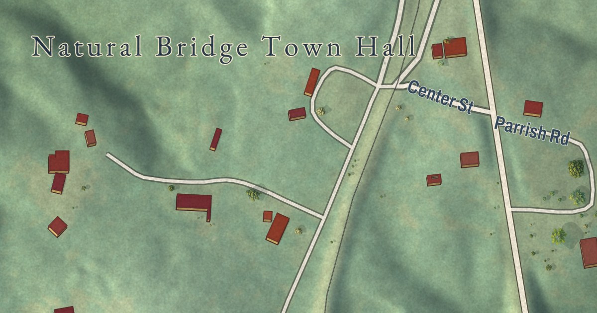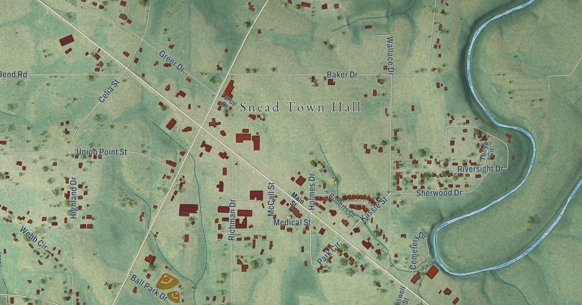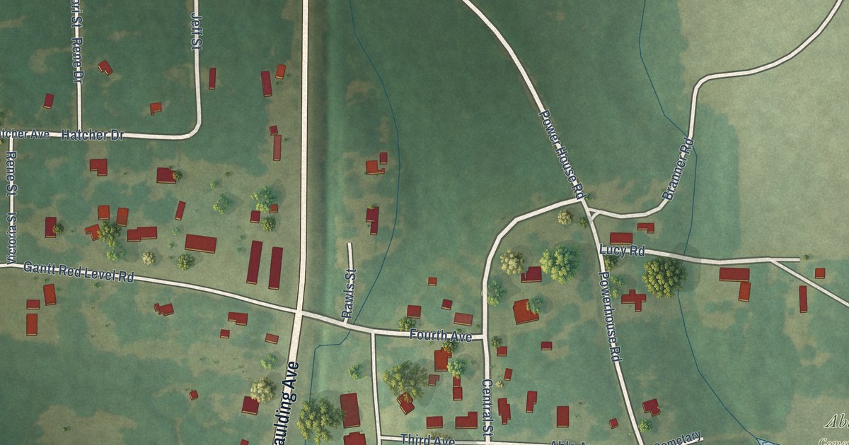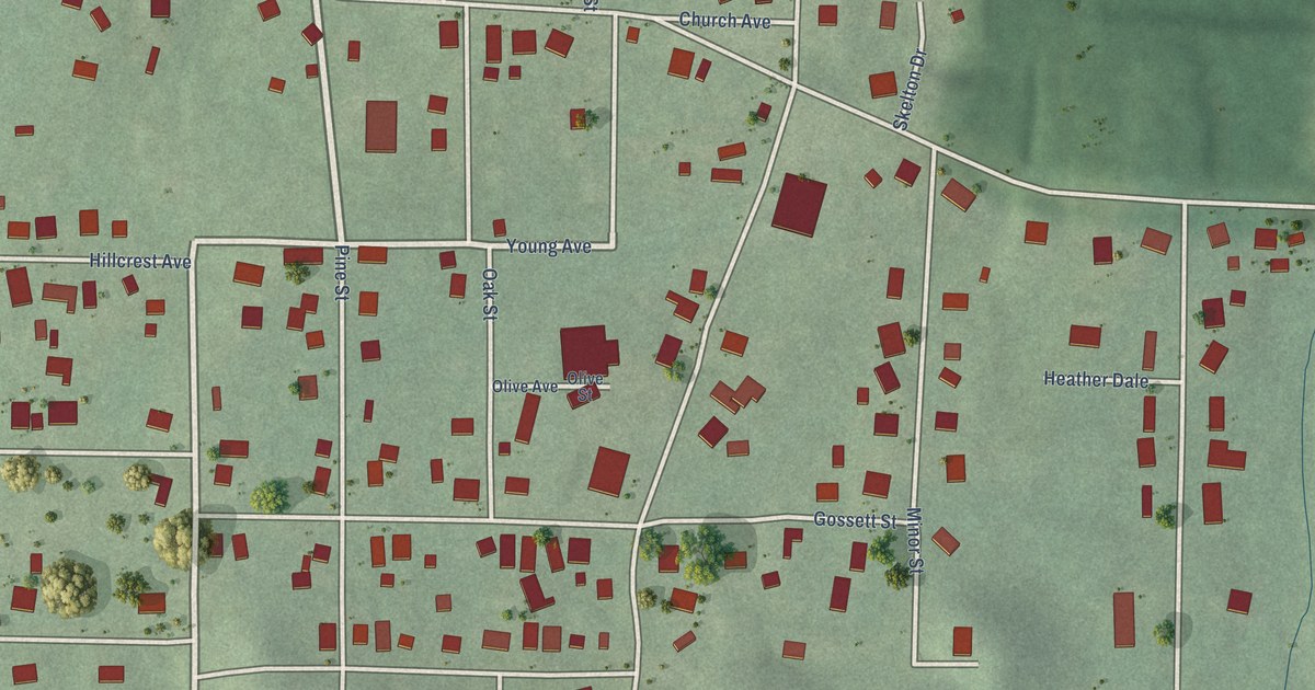
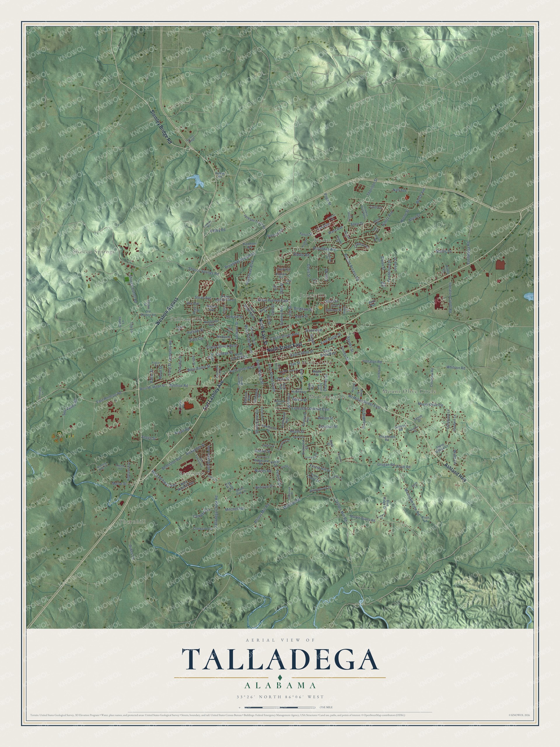
This beautifully detailed map of Talladega, Alabama was created in 2026 using aerial imagery combined with modern topographical, census, street and landmark data. It’s a one-of-a-kind view of Talladega that combines accurate data with a vintage aesthetic. The map shows every building in its true location, many of the roads carry their names, and the shaded topographic relief shows the shape of the land.
Explore an aerial view of Talladega, Alabama
On the map you’ll find Thornhill, Shocco Springs, Bemiston, Brecon, Jonesville, McCannsville, Moorefield, and Pulliamville, along with Mount Olive Circle, Fort Lashley Avenue, North Street East, Western Bypass, and more. If you look closely you can even find your house accurately drawn in its correct location. Zoom in on the preview to look for yours.
Did you know this piece of Talladega, Alabama history?
From Encyclopediaofalabama.org: "Andrew Jackson's victories over the Red Stick Creeks at the Battle of Talladega and the subsequent Battle of Horseshoe Bend opened eastern and central Alabama to white settlement."
Take a closer look at the Talladega map
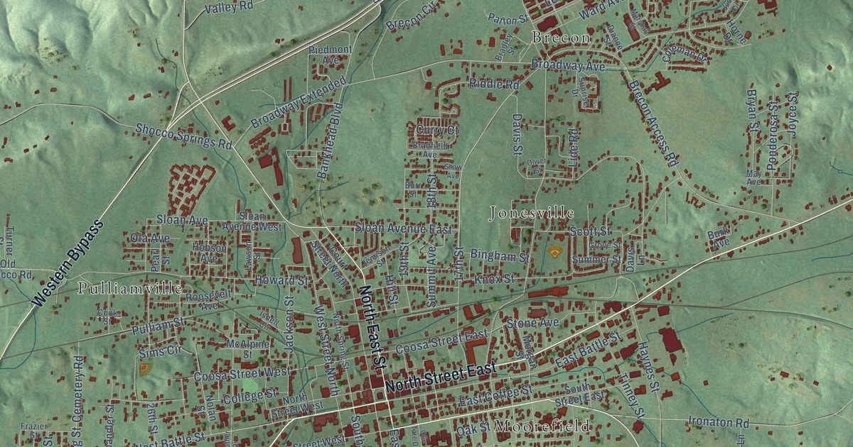
Street and place names on the Talladega, Alabama map
These names are printed on the map of Talladega, Alabama.
Places: Thornhill, Shocco Springs, Bemiston, Brecon, Jonesville, McCannsville, Moorefield, Mount Olive Circle and Pulliamville.
Streets and roads: Fort Lashley Avenue, North Street East, Western Bypass, North East Street, Ashland Highway, Stemley Bridge Road, West Battle Street, Renfroe Road, Broadway Avenue, Brecon Access Road, East Street South, East Renfroe Road.
More street names, A to Z
17th Street, 18th Street, 19th Street, 26th Street, Alexander Street, Alice Street, Allen Drive, Allen Street, Allison Mill Road, Angus Road, Angus Street, Anjill Street, Annie Laurie Drive, Arnold Street, Baker Street, Bankhead Boulevard, Bemiston Avenue, Bingham Street, Blue Ridge Drive, Bowie Street, Bradfield Avenue, Bradley Street, Brecon Circle, Briarwood Drive, Broadway Extended, Bryan Street, Burk Avenue, Burr Street, Campbell Lane, Carol Circle, Cedar Street, Cedarview Drive, Cemetery Road, Chaffee Street, Chandler Street, Cheatwood Road, Cherry Street, Christian Street, Cleveland Lane, Cobb Avenue, Cochran Avenue, Coleman Drive, College Street, Cook Street, Coosa Street East, Coosa Street West, Costner Street, Court Street North, Cowan Street, Creekside Circle, Crestview Road, Crestwood Lane, Crimson Drive, Crimson Lane, Curry Court, Davis Lane, Davis Street, Dellwood Drive, Dianne Street, Dukes Lane, Eastaboga Road, East Battle Street, East Coffee Street, East Damon Avenue, East McMillian Street, East Parkway Avenue, Eastwood Avenue, Edgewood Avenue, Edwards Avenue, Elm Street, Forest Hill Drive, Forrest Ridge, Franklin Drive North, Frazier Street, Freeman Drive, Ft Ashley Avenue, Geneva Road, George Holdridge Lane, Glenwood Road, Goodwin Lane, Grimes Lane, Grogan Road, Grove Street, Gulsby Street, Hawthorne Street, Haynes Street, Heath Street, Hendricks Street, Higgins Street, Highland Avenue, Hill Street, Hobbs Street, Hobson Avenue, Horne Drive, Horne Street, Howard Street, Ironaton Cutoff Road, Ironaton Road, Isbell Circle, Jackson Street, Jackson Trace Road, James Street, Jasmin Lane, Jemison Street, Joyce Street, Judy Circle, Knox Street, Kudzu Lane, Lackey Lane, Lancaster Avenue East, Lawson Heights, Lawson Street, Lee Avenue, Lide Road, Long Street, Maine Street, Maple Drive, Marble Quarry Road, Marshall Street, Martin Luther King Drive, May Avenue, McAlpine Street, McMillan Street East, Meleah Drive, Mitchell Road, Moon Street, Morgan Street, Mountain View Road, Naff Avenue, Nimitz Avenue, Nolan Street, North Spring Street, North Street West, Oak Street, Ola Avenue, Old Shocco Road, Olin Tate Drive, Oliver Street, Park Avenue, Patricia Avenue, Patton Street, Pearl Street, Perkins Drive, Peters Road, Piccadilly Drive, Piedmont Avenue, Ponderosa Street, Pope Street, Price Lane, Pruitt Road, Pulliam Street, Renee Drive, Riddle Road, Ridgeview Road, Roosevelt Avenue, Running Deer Lane, Saxon Drive, Scenic Drive, Scott Street, Shady Lane Circle, Shaw Avenue, Shocco Cutoff Road, Shocco Springs Road, Silverwood Drive, Sims Circle, Sloan Avenue, Sloan Avenue East, Sloan Avenue West, Smith Lane, Southern Street, South Oak Drive, South Oak Lane, South Spring Street, South Street East, South Street West, Southwood Avenue, Stone Avenue, Stone Hollow Lane, Summer Street, Summit Avenue, Sunrise Drive, Sunset Avenue, Sun Valley Road, Talladega Creek Road, Taylors Mill Road, Terry Street, Thornton Street, Tinney Street, Tomahawk Drive, Toy Lane, Turner Street, Valley Road, Waites Road, Ward Avenue, Watts Lane, Welch Avenue, West Mc Millan Street, West Parkway Avenue, West Roberts Avenue, West Street North, Whitson Road, Willman Road, Willowbrook Drive, Wilson Street, Winston Drive.
See the Talladega, Alabama map on a wall
The Talladega map as an 18 x 24 inch print in a black frame.

This beautifully detailed map of Talladega makes an attractive addition to your office, library, or den, and it can even be used to teach children the geography and history of the area. It also makes a great gift for anyone who grew up in Talladega or moved away. When you’re done exploring, click here to get your copy of the Talladega map.