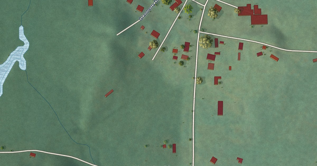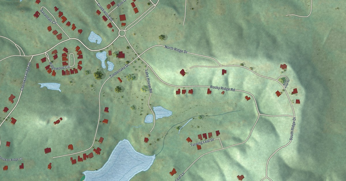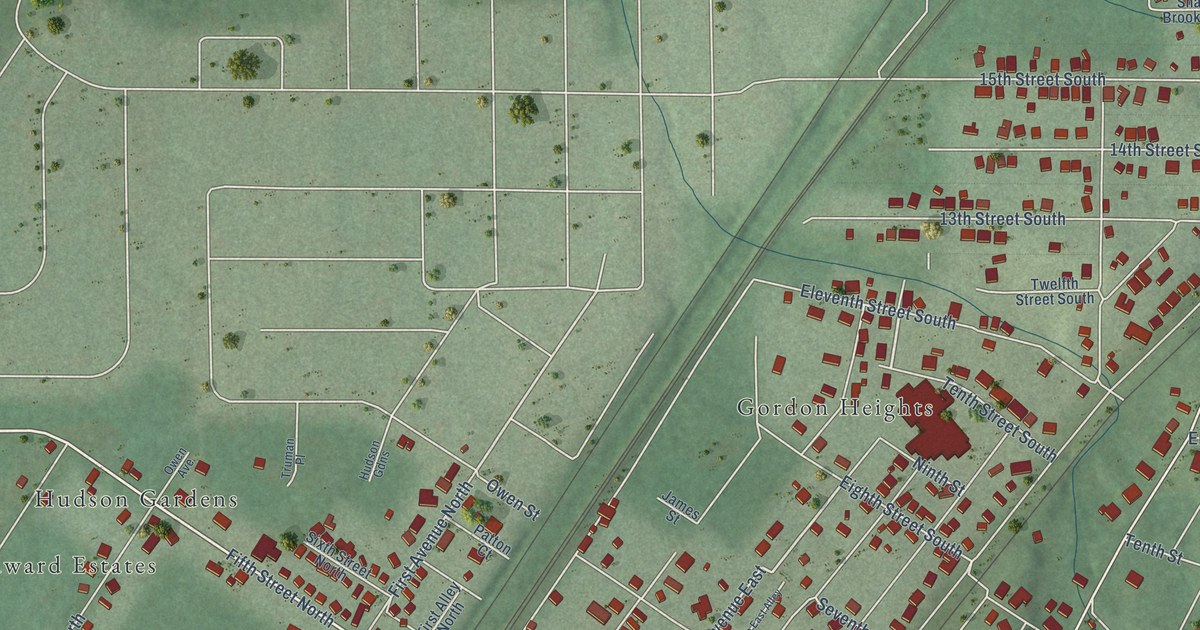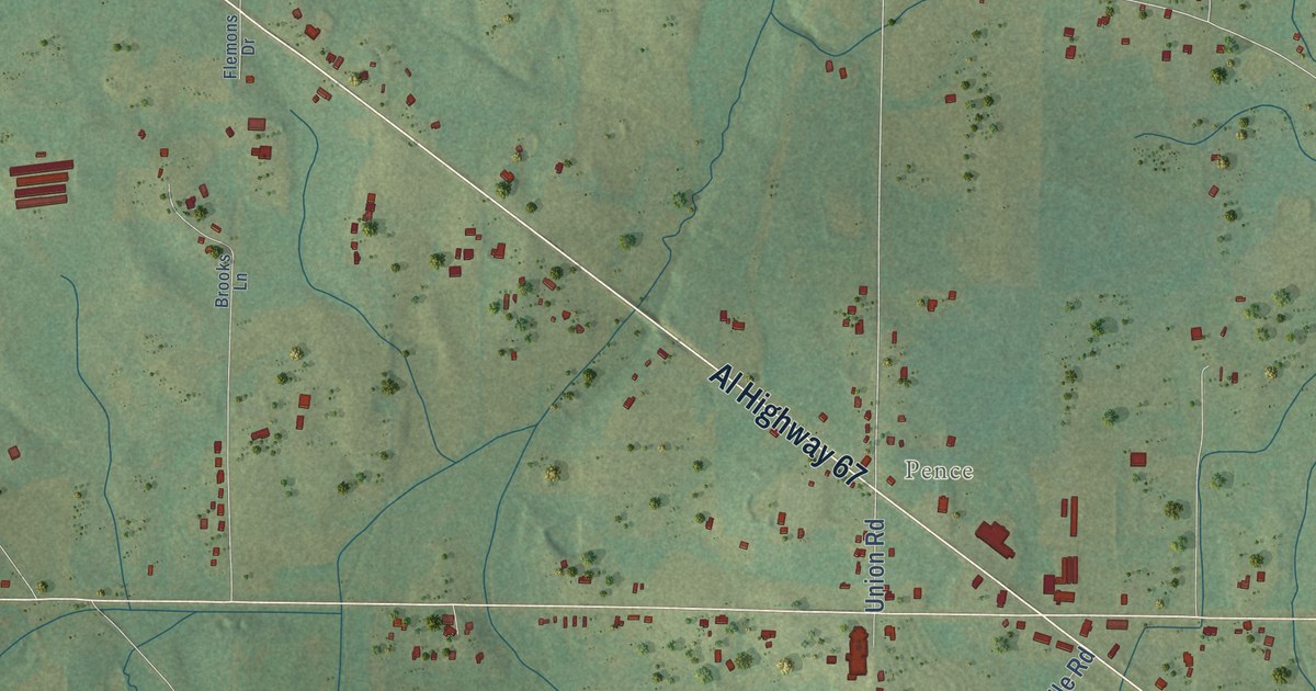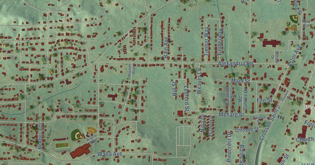
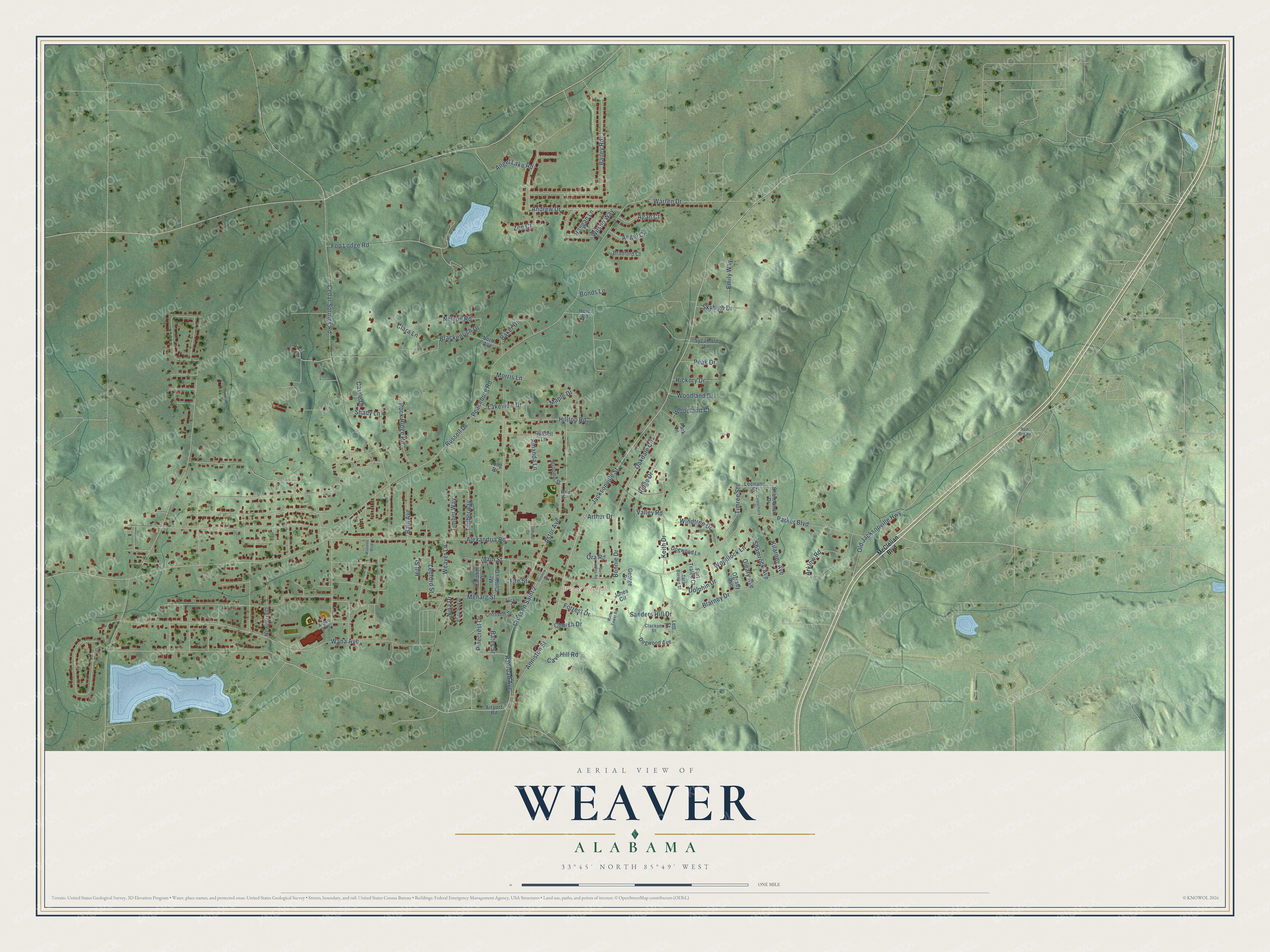
This beautifully detailed map of Weaver, Alabama was created in 2026 using aerial imagery combined with modern topographical, census, street and landmark data. It’s a one-of-a-kind view of Weaver that combines accurate data with a vintage aesthetic. The map shows every building in its true location, many of the roads carry their names, and the shaded topographic relief shows the shape of the land.
Explore an aerial view of Weaver, Alabama
On the map you’ll find Weaver City Hall, along with Jacksonville Street, Railroad Avenue, Fite Street, Astor Avenue, Pinecrest Drive, Anniston Street, Parker Boulevard, Russell Drive, Blarney Drive, Andrew Drive, Cedar Springs Road, and more. If you look closely you can even find your house accurately drawn in its correct location. Zoom in on the preview to look for yours.
Did you know this piece of Weaver, Alabama history?
From Encyclopediaofalabama.org: "In 1871, David Weaver, son of Linzey Weaver, donated land on which to build a post office, which was named Weaver's Station."
Take a closer look at the Weaver map
Street and place names on the Weaver, Alabama map
These names are printed on the map of Weaver, Alabama.
Places: Weaver City Hall.
Streets and roads: Jacksonville Street, Railroad Avenue, Fite Street, Astor Avenue, Pinecrest Drive, Anniston Street, Parker Boulevard, Russell Drive, Blarney Drive, Andrew Drive, Cedar Springs Road, Bailey Road.
More street names, A to Z
Agan Court, Airport Road, Alexandria Road, Amanda Lane, Angel Circle, Angel Lake Road, Argos Avenue, Arklow Road, Arthur Drive, Bain Avenue, Baker Drive, Bates Street, Bonds Lane, Bonnie Drive, Brackenrich Drive, Bradford Court, Broome Street, Caroline Drive, Castle Drive, Cave Hill Road, Church Drive, Clackum Street, Clara Lane, Connemara Place, Crosson Saint 2, Crosson Street, Dale Circle, Dogwood Avenue, Dogwood Lane, Dolphin Drive, Elizabeth Drive, Emily Way, Fop Lodge Road, Forrest Drive, Fort Tralee Court, George Drive, Haskew Circle, Hickory Drive, Hill Street, Hilltop Road, Huie Road, Jones Circle, Keith Drive, Kilarney Avenue, Lakeview Drive, Ledford Street, Leenane Street, Lett Street, Long Drive, Main Street, Maple Drive, Maumee Boulevard, McClellan Boulevard, Mc Cullars Drive, Meharg Street, Morris Lane, Nelson Road, Newberry Drive, Nina Drive, North Avenue, Oakdale Circle, Ogrady Avenue, Old Jacksonville Highway, Oleary Avenue, Ora Road, Park Lane, Peaceburg Road, Peak Drive, Raegan Lane, Ridge Drive, Rock Ridge Road, Russell Lane, Ruth Box Road, Sanders Hill Drive, School Drive, Shady Lane, Shamrock Avenue, Shannahan Drive, Skyhigh Drive, Sun Valley Road, Sycamore Lane, Tara Boreen Street, Timber Way, Timberway, Timree Street, Tucker Street, Valley Road, Wana Avenue, Warren Drive, Water Tower Road, Weaver Lane, Wilson Way, Windtree Drive, Woodland Court, Woodland Drive, Woodlock Lane, Zoe Court.
See the Weaver, Alabama map on a wall
The Weaver map as an 18 x 24 inch print in a black frame.

This beautifully detailed map of Weaver makes an attractive addition to your office, library, or den, and it can even be used to teach children the geography and history of the area. It also makes a great gift for anyone with Weaver roots. When you’re done exploring, click here to get your copy of the Weaver map.