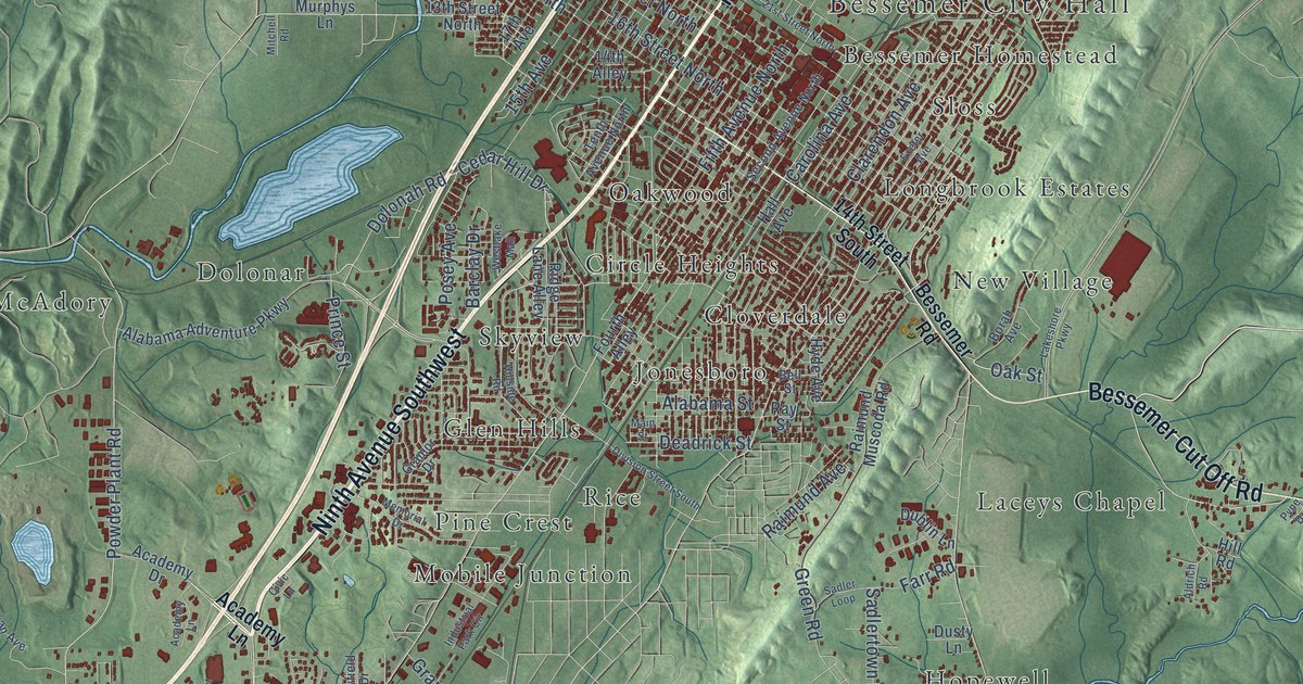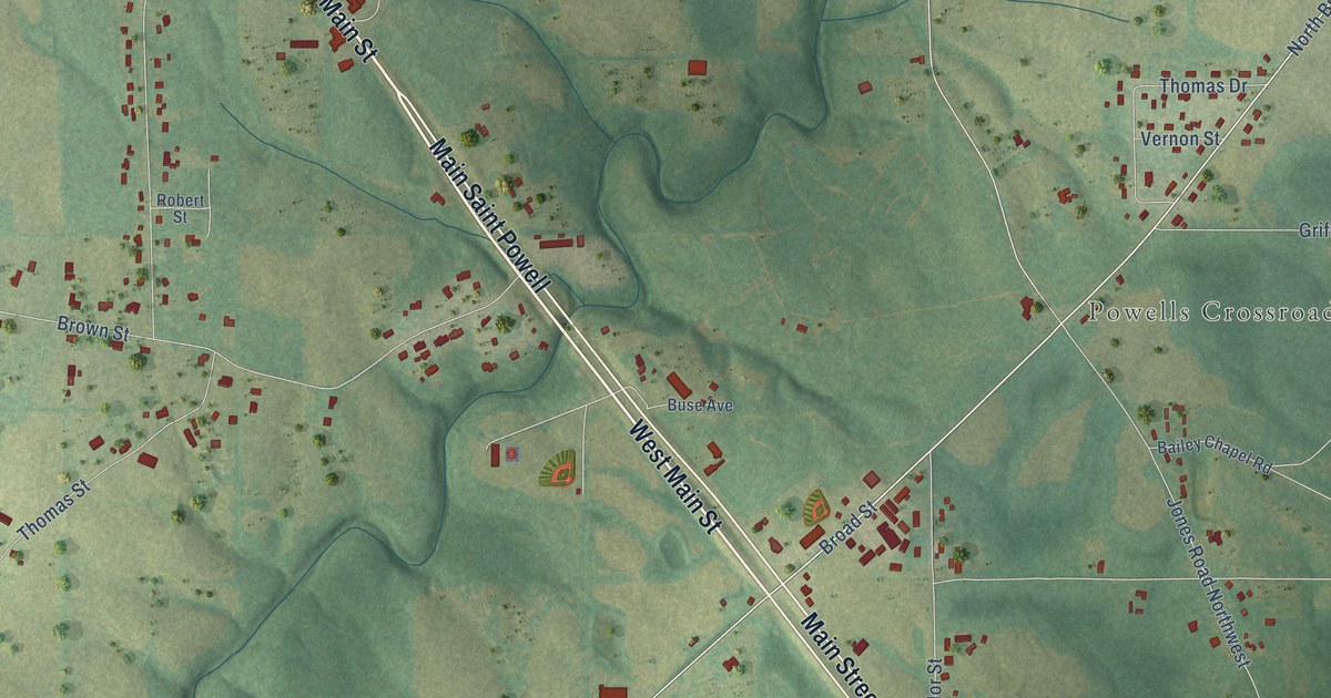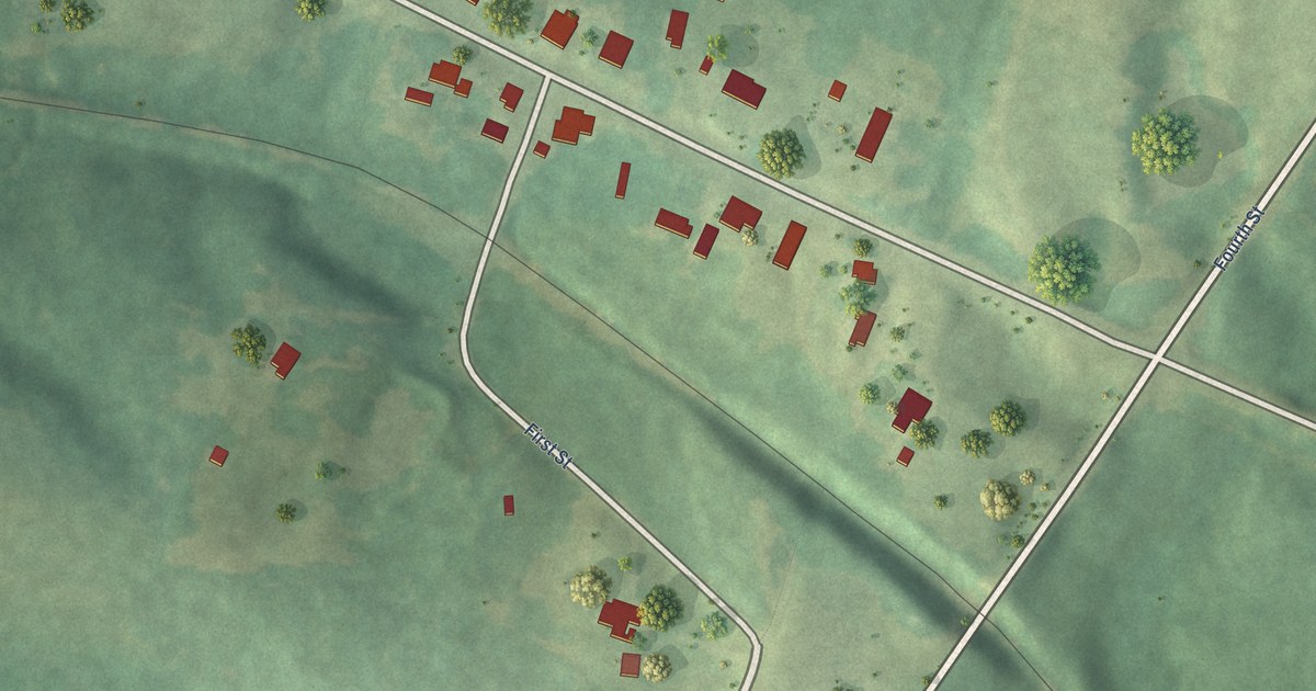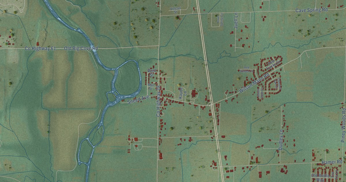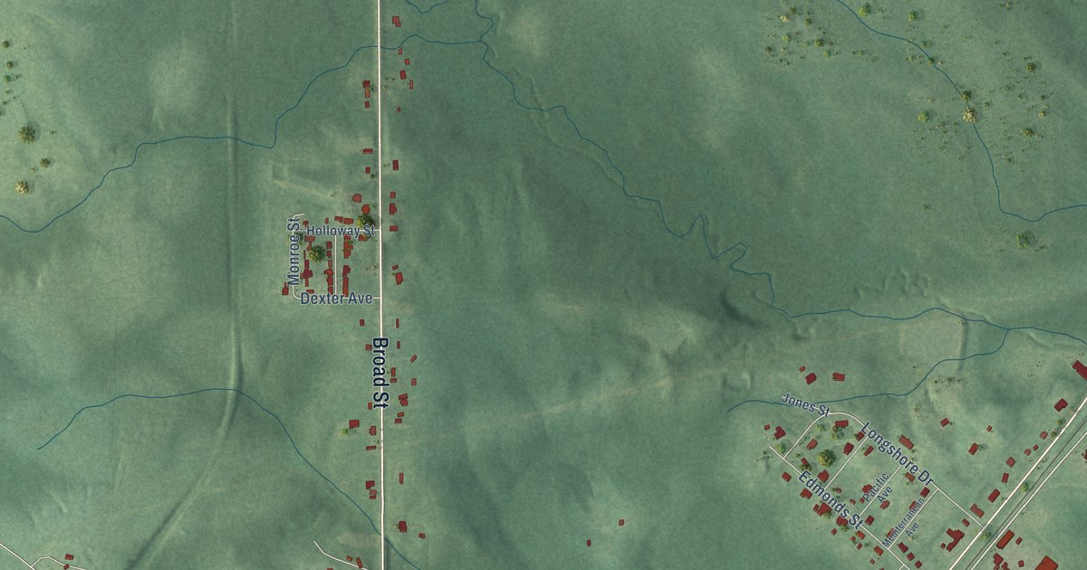
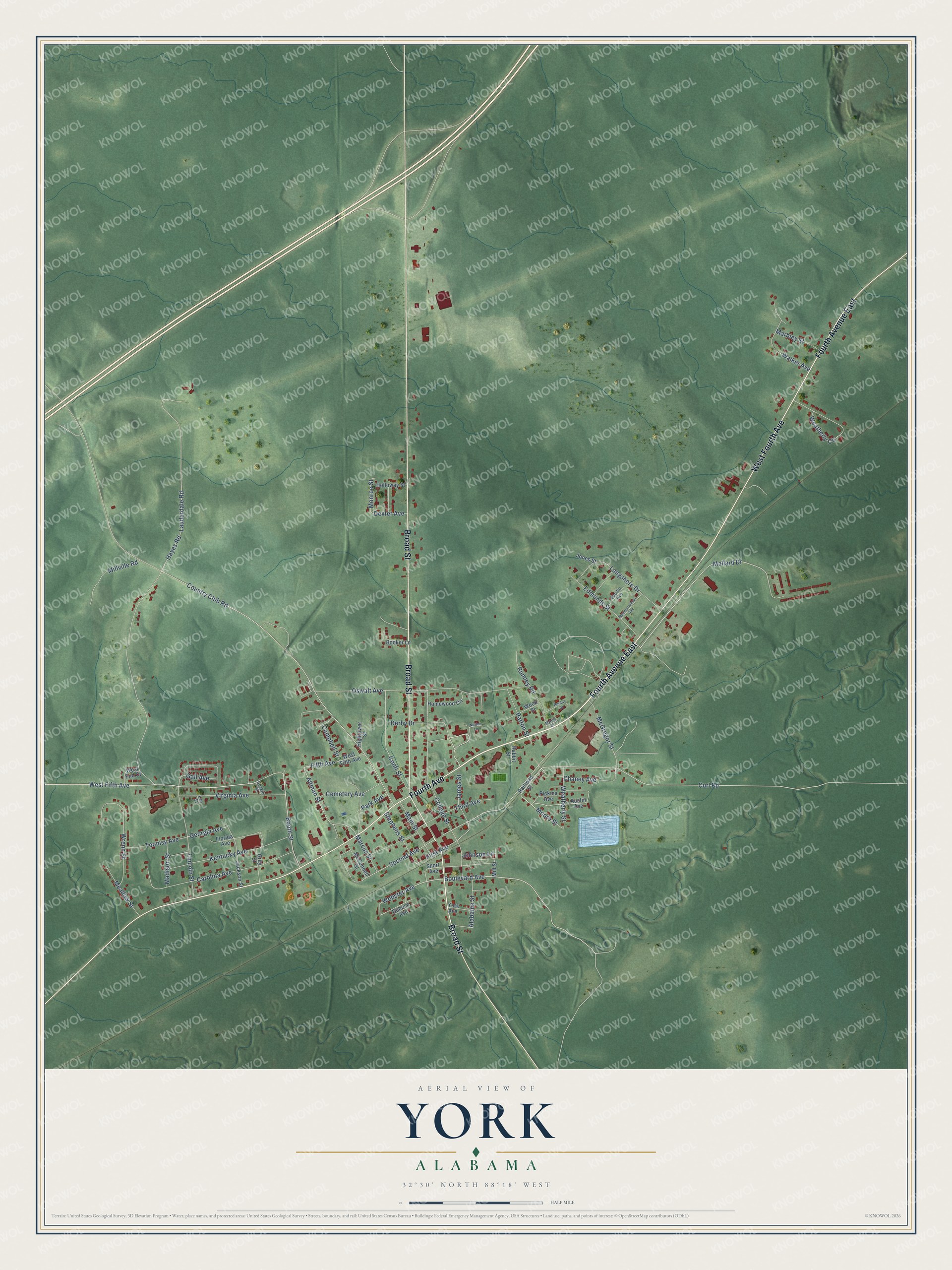
This beautifully detailed map of York, Alabama was created in 2026 using aerial imagery combined with modern topographical, census, street and landmark data. It's a modern aerial view of York in Sumter County, Alabama, that combines modern data with a vintage aesthetic. The roads feature printed names, and if you look closely you can find your exact house accurately shown in its correct location.
Explore an aerial view of York, Alabama
On this map you'll find Fourth Avenue East, Fourth Avenue, West Fourth Avenue, Broad Street, Derby Drive, Second Avenue, Boulevard Avenue, Webster Avenue, Altman Street, Weatherly Street, Fifth Avenue, Mallard Drive, and more. Each red shape is a building, so zoom in on the preview and look for yours.
Every town has a first chapter, and York is no exception. The record at encyclopediaofalabama.org puts it this way: "When the East Tennessee, Virginia, and Georgia Railroad passed through during the Civil War to connect Rome, Georgia, with a Confederate military hospital in Lauderdale, Mississippi, the town's name was changed to York Station."
York is a city in Sumter County. The Census Bureau counted 2,414 people here in 2020.
Take a closer look at the York map
Names on this map
These names are printed on this map.
Streets and roads: Fourth Avenue East, Fourth Avenue, West Fourth Avenue, Broad Street, Derby Drive, Second Avenue, Boulevard Avenue, Webster Avenue, Altman Street, Weatherly Street, Fifth Avenue, Mallard Drive.
More street names, A to Z
Alabama Street, Austin Avenue, Booker Lane, Booth Street, Boykin Street, Campbell Street, Carolina Avenue, Cemetery Avenue, Chaney Avenue, College Street, Conti Street, Country Club Road, Curl Road, Dexter Avenue, Dubose Avenue, Edmonds Street, First Avenue, Florida Avenue, Gail Avenue, Georgia Avenue, Gray Street, Hayes Road, Hightower Street, Holloway Street, Homewood Circle, Jackson Street, James Street, Johnson Lane, Jones Street, Kentucky Avenue, Lauderdale Road, Lee Street, Lincoln Street, Longshore Drive, Madison Street, Main Street, Marbley Street, Marcus Street, McConnell Street, McGregor Street, Meadow Street, Mediterranean Avenue, Mill Street, Millville Road, Monroe Street, Moore Street, Myrick Drive, Norton Lane, Oswalt Avenue, Pacific Avenue, Park Avenue, Patton Street, Perdue Drive, Pickins Avenue, Rabbit Street, Railroad Street, Rumley Road, Short Avenue, Stephens Street, Third Avenue, Toomsy Avenue, Virginia Avenue, Walker Avenue, Weatherly Circle, West End Court, West Fifth Avenue, Wood Street, Wrenn Street, York Avenue.
Created by KNOWOL in 2026. The buildings are small red shapes, the roads carry their printed names, and shaded relief shows the shape of the land. The title panel reads "AERIAL VIEW OF YORK ALABAMA" with 32°30' NORTH 88°18' WEST.
Hang it in the hallway, the office or the cabin, or give it to someone who left York and still calls it home. Open the preview and look for a street you know. See sizes and frames for the York map.