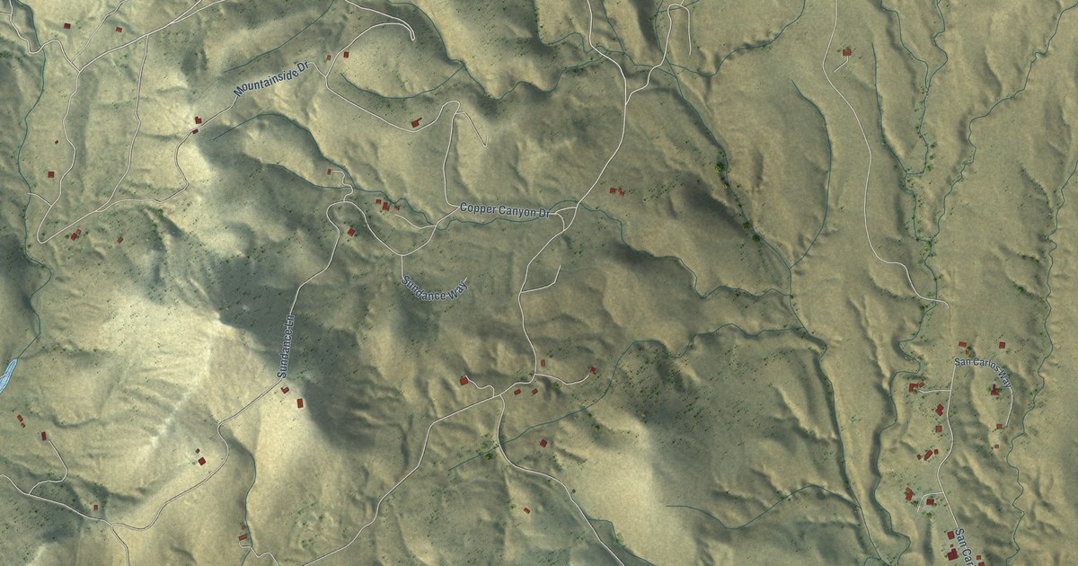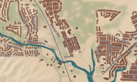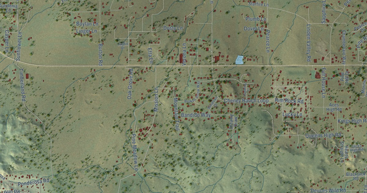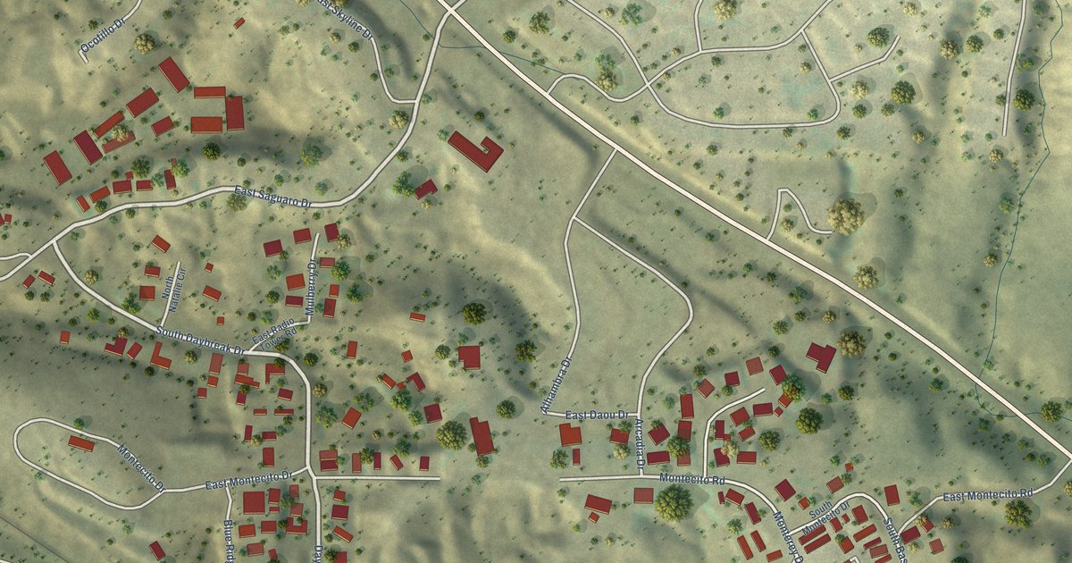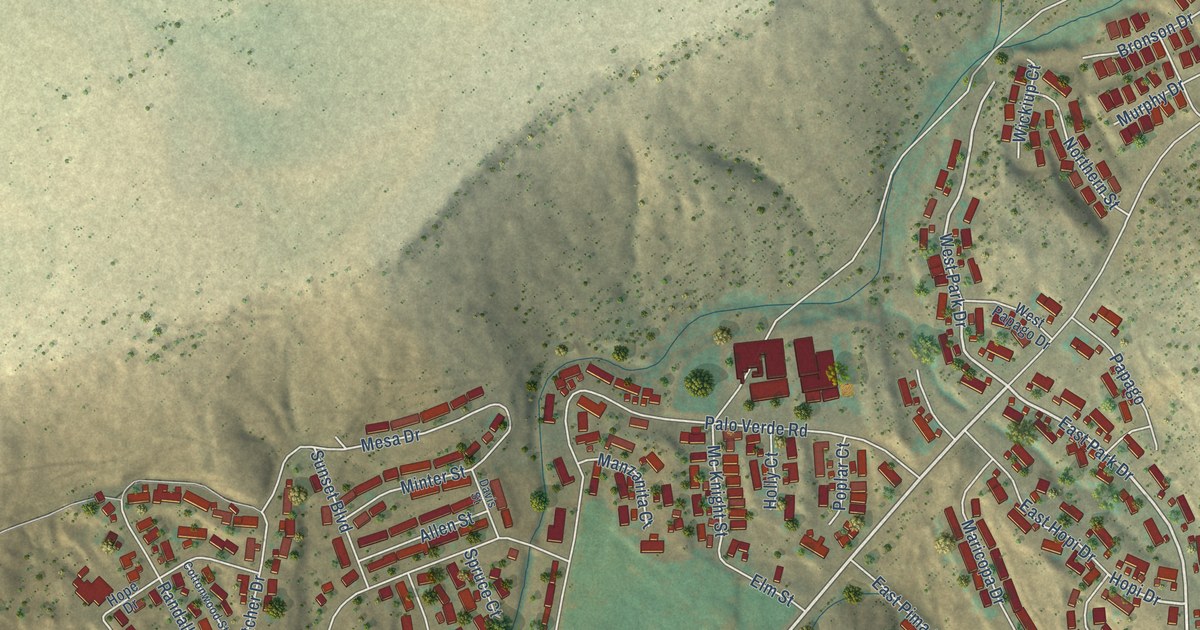
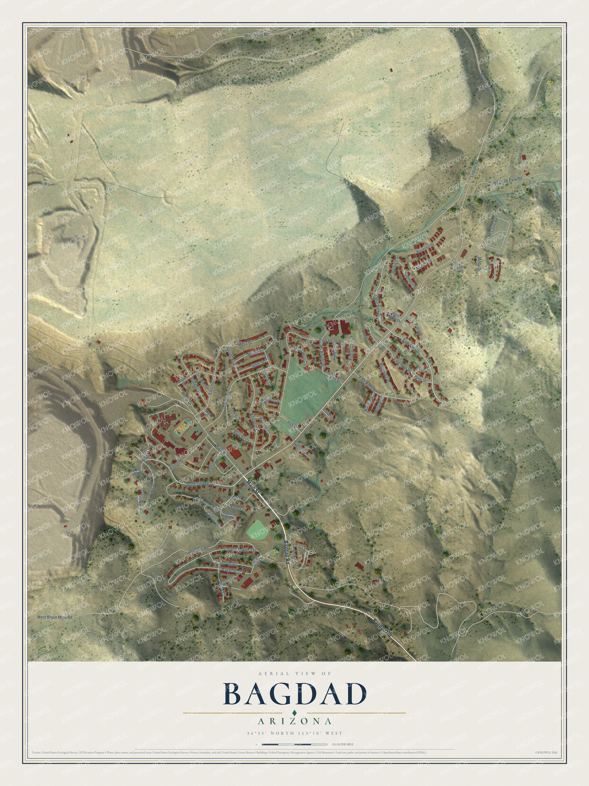
This beautifully detailed map of Bagdad, Arizona was created in 2026 using aerial imagery combined with modern topographical, census, street and landmark data. It’s a one-of-a-kind view of Bagdad that combines accurate data with a vintage aesthetic. The map shows every building in its true location, many of the roads carry their names, and the shaded topographic relief shows the shape of the land.
Explore an aerial view of Bagdad, Arizona
On the map you’ll find Main Street, Bagdad Road, Lindahl Road, South Lindahl Road, East Park Drive, West Park Drive, Hopi Drive, Breezy Court, Old Dick Road, Upper Lawler Terrace, McClure Road, Mc Knight Street, and more. Bagdad sits about 25 miles east of Wikieup, 29 miles northeast of Alamo Lake and 31 miles northwest of Peeples Valley. If you look closely you can even find your house accurately drawn in its correct location. Zoom in on the preview to look for yours.
Take a closer look at the Bagdad map
Names on this map
These names are printed on this map.
Streets and roads: Main Street, Bagdad Road, Lindahl Road, South Lindahl Road, East Park Drive, West Park Drive, Hopi Drive, Breezy Court, Old Dick Road, Upper Lawler Terrace, McClure Road, Mc Knight Street.
More street names, A to Z
Allen Street, Apache Court, Ash Street, Baker Street, Boulder Court, Bridle View Court, Bringle Loop, Bronson Drive, Cook Street, Copper Drive, Cottonwood Street, Cyprus Lane, Cyprus Way, Davis Street, East Hopi Drive, East Pima Drive, Elm Street, Fletcher Drive, Grandview, Grant Street, High Court, Hilltop Drive, Holly Court, Hope Drive, Laurel Court, Lincoln Drive, Little Cloud Lane, Manzanita Court, Maricopa Drive, McClure Park Road, Mercy Drive, Mesa Drive, Mine Shop Road, Minter Street, Mohave Drive, Molly Drive, Murphy Drive, Navajo Drive, Northern Street, North Lindahl, Palm Lane, Palo Verde Road, Papago, Phillips Drive, Poplar Court, Randall Street, Rincon Road, Ruby Court, Skousen Street, Skyline Drive, Spruce Court, Sunset Boulevard, Walnut Circle, West Bruce Mine Road, West Papago Drive, West View Drive, Wickiup Court, Wilcox Drive, Yavapai Street.
See it on a wall
The Bagdad map as a framed print. Swipe for more.


This beautifully detailed map of Bagdad makes an attractive addition to your office, library, or den, and it can even be used to teach children the geography and history of the area. It also makes a great gift for anyone with Bagdad roots. When you’re done exploring, click here to get your copy of the Bagdad map.