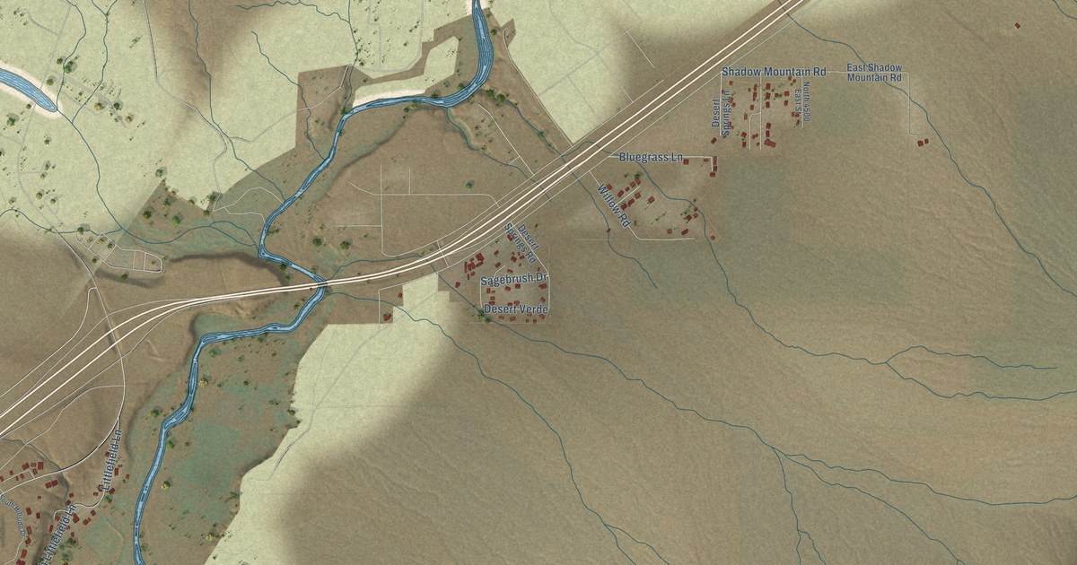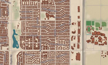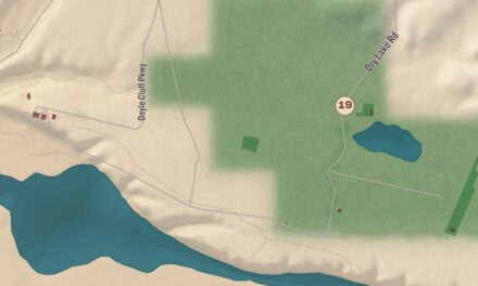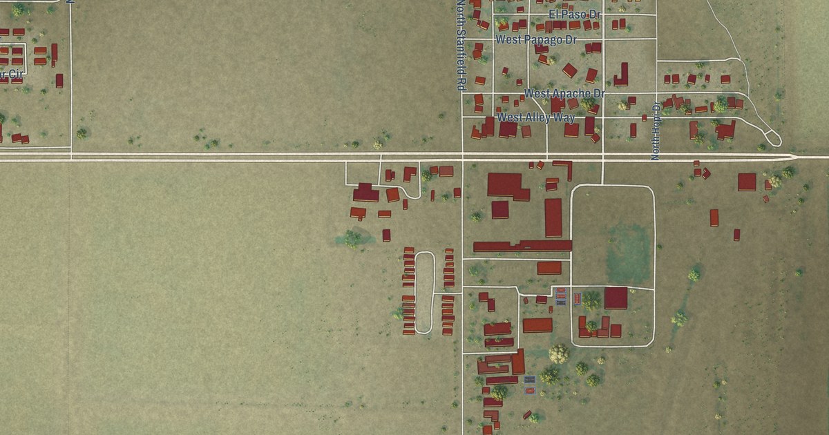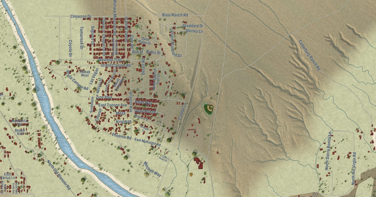
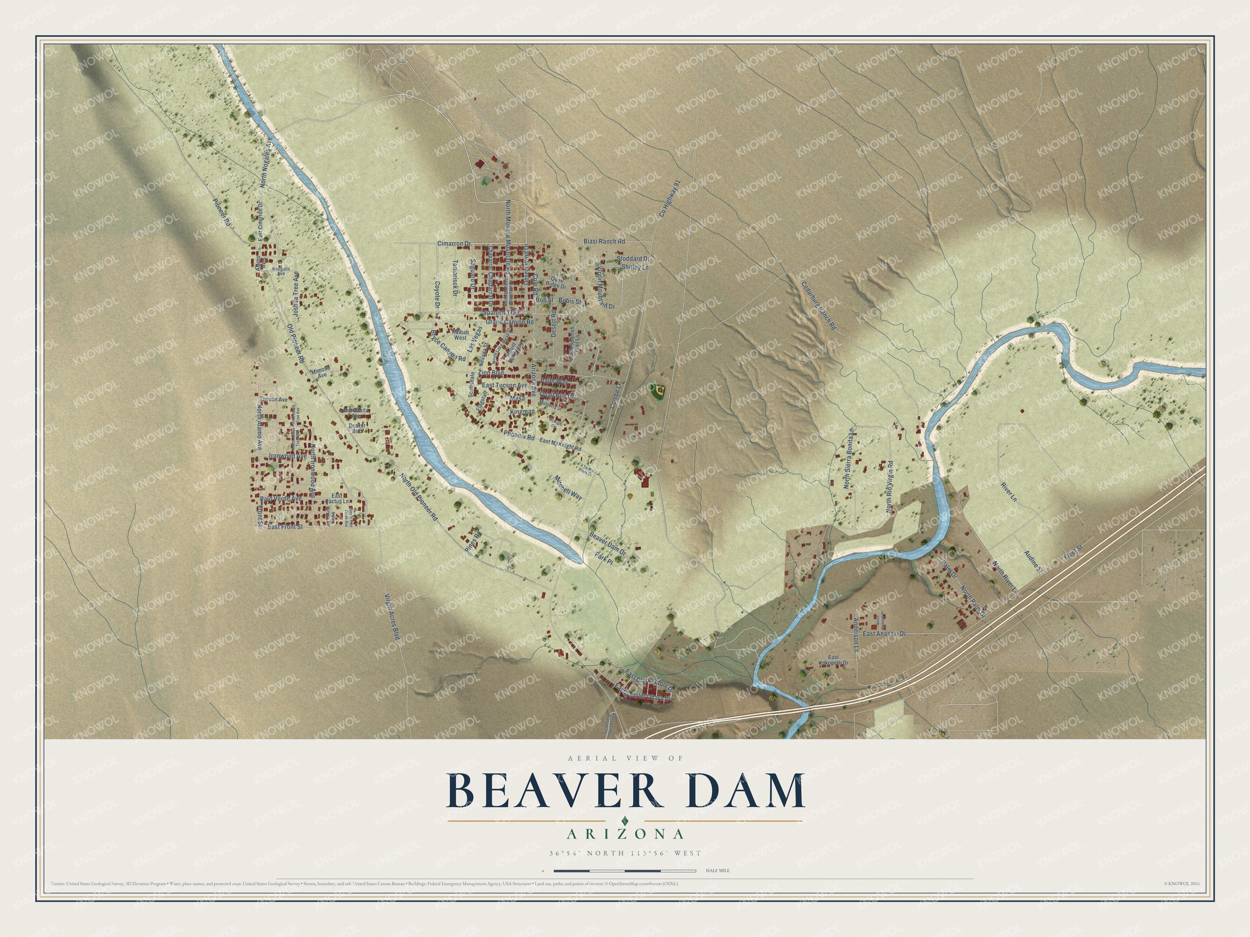
This beautifully detailed map of Beaver Dam, Arizona was created in 2026 using aerial imagery combined with modern topographical, census, street and landmark data. It’s a one-of-a-kind view of Beaver Dam that combines accurate data with a vintage aesthetic. The map shows every building in its true location, many of the roads carry their names, and the shaded topographic relief shows the shape of the land.
Explore an aerial view of Beaver Dam, Arizona
On the map you’ll find Cimarron Drive, Coyote Drive, Spanish Trail, North Nogales Avenue, North Alamo Avenue, East Front Street, North Ironwood Avenue, Combe Lane, Palo Verde Avenue, Virgin Acres Boulevard, Front Street, Ironwood Avenue, and more. Beaver Dam sits about 3 miles north of Littlefield and 9 miles northeast of Scenic. If you look closely you can even find your house accurately drawn in its correct location. Zoom in on the preview to look for yours.
Take a closer look at the Beaver Dam map
Names on this map
These names are printed on this map.
Streets and roads: Cimarron Drive, Coyote Drive, Spanish Trail, North Nogales Avenue, North Alamo Avenue, East Front Street, North Ironwood Avenue, Combe Lane, Palo Verde Avenue, Virgin Acres Boulevard, Front Street, Ironwood Avenue.
More street names, A to Z
Alamo Avenue, Anderson Lane, Arizona Avenue, Audine Street, Beaver Bird, Beaver Dam Drive, Biasi Ranch Road, Bobis Street, Bob Street, Bryce Canyon Road, Cedarburg Ranch Road, Chaparral, Chaparral Drive, Cole Road, County Highway 91, Desert Road, Desert Wind Drive, East Anasazi Drive, East Cactus Lane, East Cimirron Drive, East Clark Gable Drive, East Kokopelli Drive, East McKnight Road, East Scarlet Ohara Drive, East Tucson Avenue, Flagstaff, Fleet Street, Grand Canyon Road, Joshua Tree Avenue, Kaibab West, Kingman, Las Vegas, Littlefield Interchange, Manzanita Avenue, McNight Circle, Mesa, Mimosa Avenue, Mitchell Way, Mount Bang Way, Mulberry Street, Nevada Street, Nongalis Avenue, North Anasazi Place, North Joshua Tree Avenue, North Josua Tree Avenue, North Lake Mead Drive, North Mimosa Avenue, North Mohave Mountain Drive, North Mohave Mountain Road, North Old Pioneer Road, North Palm Drive, North Palo Verde Avenue, North Rio Virgin Road, North River Lane, North Sierra Bonita Lane, North Spanish Trail Lane, Old Pioneer Road, Palm Drive, Palm Way, Park Place, Phoenix Road, Pines Road, Pioneer Road, Quail Ridge Drive, Quail Run Drive, River Lane, Saguaro Drive, Scottsdale, Shirley Lane, Stoddard Drive, Tamarisck Drive, Tucson Avenue, Twin Pines Drive, Virgin Mountain Drive, Zion Boulevard.
See it on a wall
The Beaver Dam map as a framed print. Swipe for more.


This beautifully detailed map of Beaver Dam makes an attractive addition to your office, library, or den, and it can even be used to teach children the geography and history of the area. It also makes a great gift for anyone who grew up in Beaver Dam or moved away. When you’re done exploring, click here to get your copy of the Beaver Dam map.