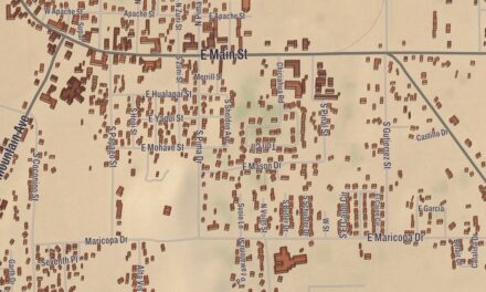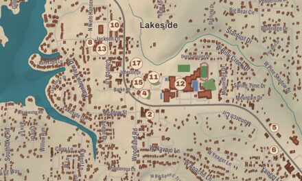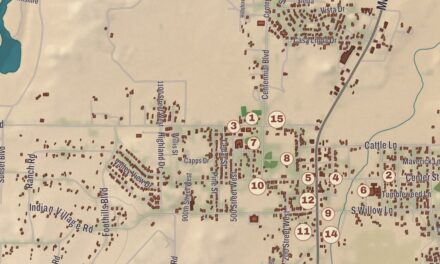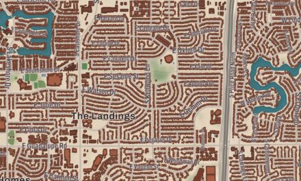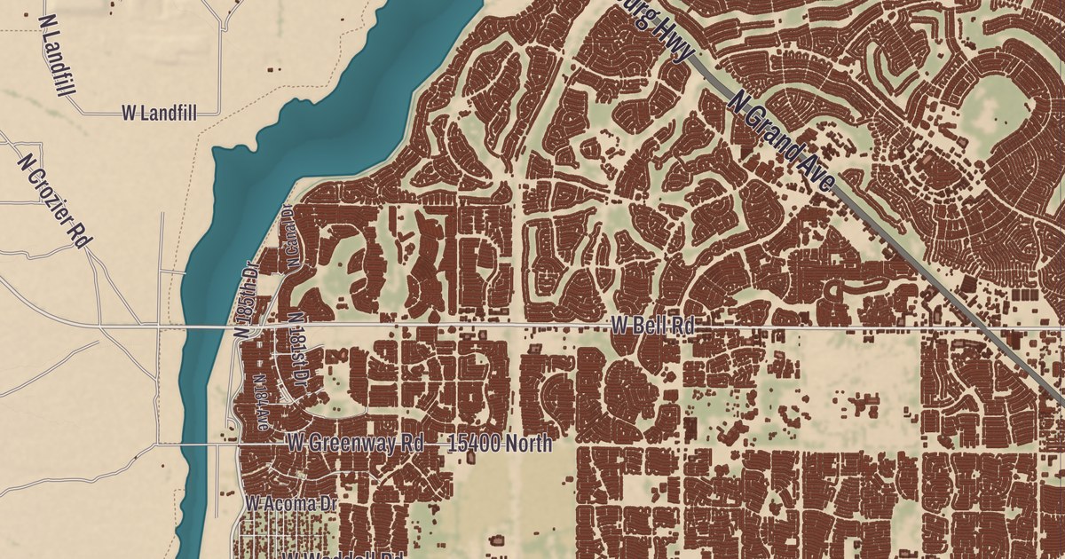
Buckeye is named for a canal, developed in the 1880s by a settler from Ohio, the Buckeye State. This map of the city prints Buckeye Union High School, Youngker High School, Festival Foothills Elementary School, Tartesso Elementary School, Sundance Park and Coyote Branch, from Downtown Buckeye out to Verrado.
Buckeye is in Maricopa County, about 30 miles west of downtown Phoenix in the Buckeye Valley.
KNOWOL made this map in 2026 and gave it the look of an old atlas. The shaded relief of the valley and its hills comes from United States Geological Survey elevation data, and the streets were drawn from Census Bureau files. Buckeye is the second-largest city in Arizona by area, at 393.2 square miles, and the westernmost suburb of the Phoenix area. The Gila River flows west through the valley south of the town center, and the city limits reach north into the White Tank Mountains and south past the Buckeye Hills. Buckeye Union High School is on the National Register of Historic Places, and we checked it against National Park Service records. Buckeye had 91,502 people at the 2020 census, up from 6,537 in 2000, and it was the fastest-growing city in the United States in 2017, 2018 and 2021.
Sidney becomes Buckeye
The Hohokam culture were the first people of the Buckeye area. In 1877 Thomas Newt Clanton led six men, three women and ten children from Creston, Iowa, to settle here. From 1884 to 1886 the early settler Malie M. Jackson developed 10 miles of the Buckeye Canal and named it for the nickname of his home state of Ohio. The town was founded in 1888 as Sidney, after Jackson’s hometown in Ohio, but the canal mattered so much that people called the town Buckeye, and in 1910 the name was made legal. Buckeye was incorporated in 1929 with 440 acres, and it became a city in 2014.
The Arizona Eastern Railroad reached Buckeye in 1910, the first car came in 1911, a steam rail line tied it to Phoenix by 1912 and a state highway followed by 1915. The railroad mattered so much that the business district was moved to sit near the station, and by 1912 major buildings were going up. The original town grew around Monroe Avenue, downtown’s main street. Hugh M. Watson, the town’s first mayor from 1956 to 1958, founded the Buckeye Valley Bank, and Watson Road is the site of the city’s commercial center today.
The old high school
The original Buckeye Union High School building on Eason Avenue near 9th Street, also known as the “A” Wing, was renovated by Estrella Mountain Community College, which began holding classes there in the fall of 2011. It’s now the Buckeye Educational Center, with college courses, job training and community classes. Youngker High School opened to its first freshman class in 2007, on land given by the Youngker family, and the district named the school for them.
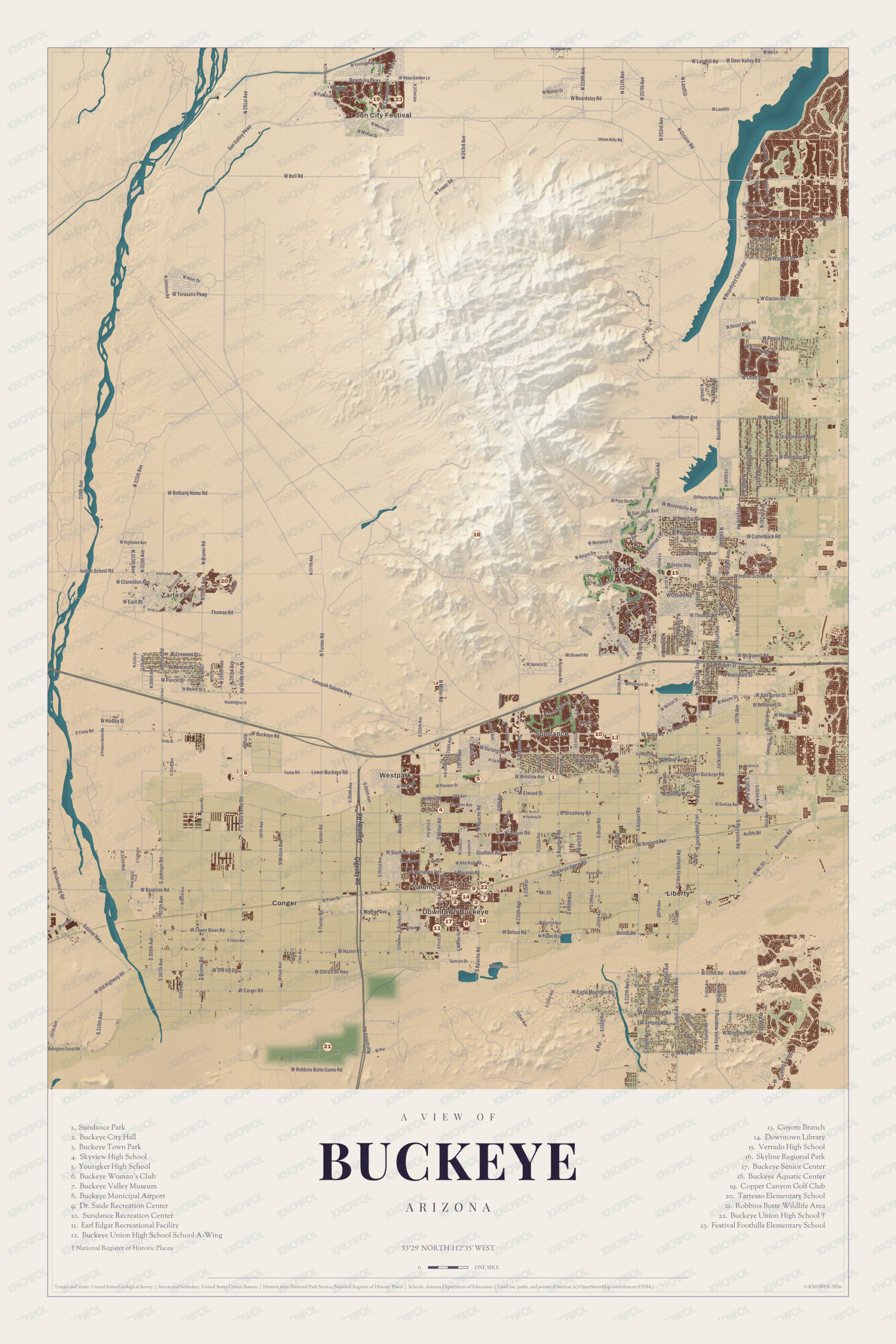
Click to explore a larger preview. The digital watermark does not appear on printed maps.
Names on this map
These names are printed on this map.
Streets and roads: W Bell Rd, W Aster Dr, N 291st Ave, Sun Valley Pkwy, W Landfill, W Rose Garden Ln, W Runion Dr, W Beardsley Rd, Union Hills Rd, N Tower Rd, N 207th Ave, N 203rd Ave.
More street names, A to Z
2nd Ave, 23rd Ave, 183rd Ave, 203rd Ave, 232nd Ave, 243rd Ave, 315th Ave, 319th Ave, Arlington Canal Rd, Baseline Rd, Beloat Rd, Bethany Home Rd, Buckeye Rd, Culver St, E Elwood St, Elliot Rd, E McDowell, E Montebello, E School Rd, Fawn Dr, Indian School Rd, James Rd, Lower Buckeye Rd, McDowell Rd, N Beardsley Canal Rd, N Bruner Rd, N Crozier Rd, Northern Ave, N Perryville Rd, N Teepee Rd, Olgelsby Rd, Palo Verde, Peoria Ave, Pima St, Ray Rd, Rooks Rd, S Johnson, Southern Ave, Sunrise Ct, S Wilson Ave, S Yuma Rd, Tepee Rd, Thomas Rd, Turner Rd, W Arlington Rd, Washington St, W Baseline Rd, W Beloat Rd, W Broadway Rd, W Cactus Rd, W Camelback Rd, W Carver Rd, W Clarendon Ave, W Deer Valley Rd, W Dunlap Ave, W Eagle Mountain Rd, W Earll Dr, W Exeter Blvd, W Fawn Dr, W Fillmore St, W Hadley St, W Hazen Rd, W Highland Ave, W Ida Ln, W Lower River Rd, W Lynwood St, W Mariposa St, W Mc 85, W Melvin St, W Old Hwy 80, W Peoria Ave, W Pierce St, W Pioneer St, W Robbins Butte Game Rd, W San Juan Ave, W Spruce St, W Thomas Rd, W Van Buren St, W Wilson St, W Winslow Ave, Yuma Rd.
Verrado and the new communities
Nearly 30 master-planned communities are planned for Buckeye, and homes are already occupied in Sundance, Verrado, Tartesso and Festival Ranch, among others. Verrado, whose name comes from the Spanish “verdad,” for truth, sits at the base of the White Tank Mountains, and its page calls it the largest suburban community in metropolitan Phoenix built on the ideas of New Urbanism. Its neighborhoods were modeled on American neighborhoods of the early 20th century, including Phoenix’s historic districts, and some homes have garages on a rear alley to keep a traditional street front. It has 78 community parks and 21 miles of paths and hiking trails. Tartesso is planned for 49,000 homes, and its schools belong to the Saddle Mountain Unified School District. Festival Foothills Elementary School, Sundance Park and Coyote Branch are printed on the map too.
South of downtown, Buckeye Hills Regional Park lies 7 miles out on State Route 85. In the southern White Tank Mountains, the city’s Skyline Regional Park covers 8,700 acres of mountain preserve with trails for hikers, mountain bikers and riders. In 2008 Buckeye was featured on The NewsHour with Jim Lehrer in a week-long series called “Blueprint America.”
This Buckeye map is a good addition to an office, library or den, and it can help teach children the geography and history of the area. It’s made for anyone who calls Buckeye home, from Downtown Buckeye to Verrado, and KNOWOL created it in 2026 to show the city as it looks today. Zoom in on the preview above to explore the details, then click here to get your copy of the Buckeye map.

Sources