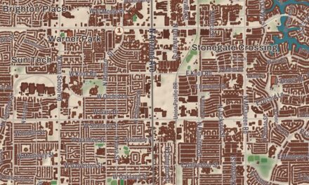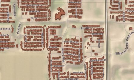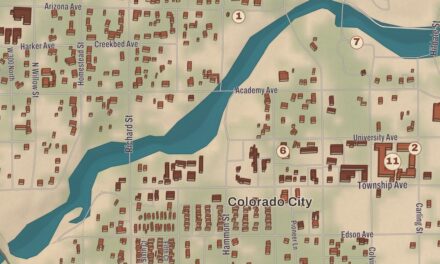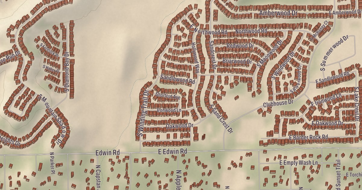
Much of Catalina’s land and history is tied to the Golder Ranch, and its owner, Lloyd Golder III, named many of the streets on his land. This map of the community prints the Catalina Community Center, the Dewhirst-Catalina Library, Coronado K-8 School, the First Baptist Church of Catalina, Catalina Neighborhood Park and the IMPACT of Southern Arizona Main Office and Food Bank, with Sutherland Wash and Twentyseven Wash running through the desert. The Cañada del Oro crosses the land too.
Catalina is a census-designated place in Pima County.
KNOWOL made this map in 2026 and gave it the look of an old atlas. The shaded relief of the washes comes from United States Geological Survey elevation data, and the streets were drawn from Census Bureau files. The community covers 13.9 square miles and had 7,025 people at the 2000 census, the latest count on its page. It’s still unincorporated, with no plans to join any nearby town, and its page says it keeps growing while trying to hold on to its rural character.
The Golder Ranch
Lloyd Golder III and his family moved to Tucson from Illinois in 1956, and by the next year they had bought Rancho Vistoso, then a ranch of 4,800 acres. In 1959 Golder bought the nearby Rail N. Ranch, 18,000 acres, from Roberta Nicholas, whose ranch house is now the administration building of the Miraval Resort. The land took in parts of what’s now Catalina State Park to the south and part of the ground where Biosphere 2 stands to the north. Golder later developed the Twin Lakes and Rail N. Ranch subdivisions on his land. He died in 2013. The ranch most people call the Golder Ranch is still legally the Rail N. Ranch, and it’s still an active open-range ranch.
From 1961 to 1964 Golder built the Golder Dam, about 4 miles north of the Pinal County line, for a lakeside community to be called Lago del Oro. A legal fight that lasted several decades ended with the dam declared unsafe, and the community was never built. The Saddlebrooke subdivision stands on that land now, and Lago Del Oro Parkway is the only reminder of the failed community.
The Catalinas
The Santa Catalina Mountains, the most prominent range around Tucson, were known to the Tohono O’odham as Babad Do’ag. The Italian Jesuit Eusebio Francisco Kino named them in 1697 for Catherine of Alexandria, the patron saint of his oldest sister. The highest point is Mount Lemmon, at 9,157 feet. Catalina State Park, at the base of the range, has nearly 5,000 saguaros on 5,500 acres of foothills and canyons. Its Romero Ruin keeps pueblos of rock and adobe and a Mesoamerican ballcourt, and its page says the site was widely used for nearly 400 years. The park was dedicated by Governor Bruce Babbitt on May 25, 1983, after a plan in the early 1970s to build houses on the old Rancho Romero land met strong public opposition.
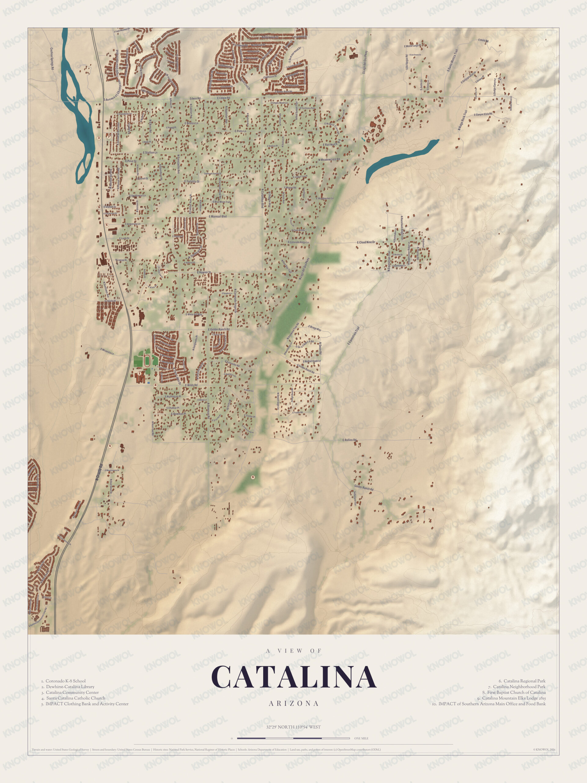
Click to explore a larger preview. The digital watermark does not appear on printed maps.
Names on this map
These names are printed on this map.
Streets and roads: Edwin Rd, E Edwin Rd, E Pinto Ln, E Stallion Ln, E Pinal St, E Mainsail Blvd, Lamb Dr, Spring Rd, Champion St, Swallowtail Ln, Clubhouse Dr, E Magoo Rd.
More street names, A to Z
Amberwood Dr, E Canyon Vista Rd, E Chukkar Pl, E Cloud Nine Dr, E Coronado Ridge Ln, E Golder Ranch Rd, E Hielo Rd, E Miravista Ln, E Rollins Rd, E Schroeder Rd, E Wilds Rd, Loop Rd, N Columbus Blvd, N Lago del Oro Pkwy, Oracle Rd, Ranch Rd, Spider Ranch Rd, Woodpecker Ln.
Around Catalina
The Cañada del Oro, Spanish for “canyon of gold,” begins in the Santa Catalina Mountains, fed by rain and snowmelt from the north face of Mount Lemmon. It flows north toward Oracle, then curves south through Oro Valley, where its bed is usually dry, and joins the Santa Cruz River northwest of Tucson. Prospectors searched it for gold from the 17th century into the 1930s, and the name “Gold Cañon Creek” appears on American maps as early as 1880. Sutherland Wash and Twentyseven Wash are printed on the map, along with the Catalina Community Center, the Dewhirst-Catalina Library and Catalina Neighborhood Park. Coronado K-8 School and the First Baptist Church of Catalina are printed as well, and so is the IMPACT of Southern Arizona Main Office and Food Bank.
This Catalina map is a good addition to an office, library or den, and it can help teach children the geography and history of the area. It’s made for anyone who calls Catalina home, from the Golder Ranch country to the banks of Sutherland Wash, and KNOWOL created it in 2026 to show the community as it looks today. Zoom in on the preview above to explore the details, then click here to get your copy of the Catalina map.

Sources