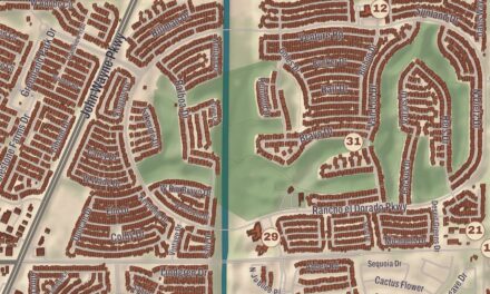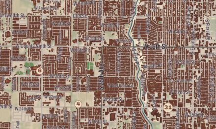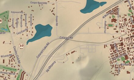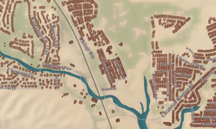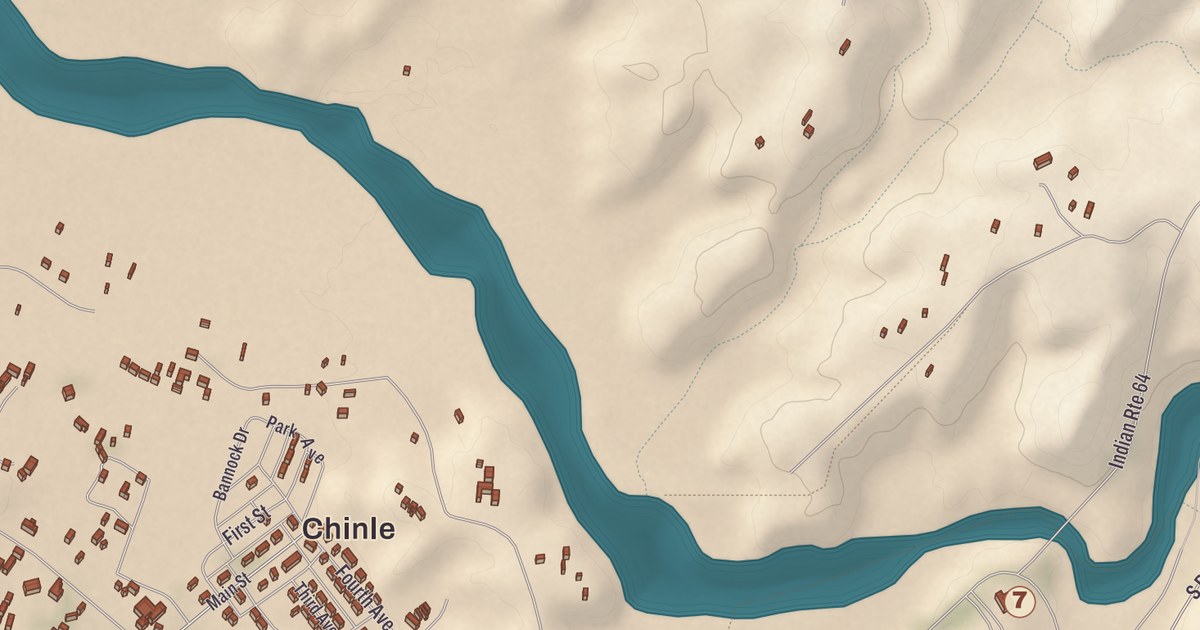
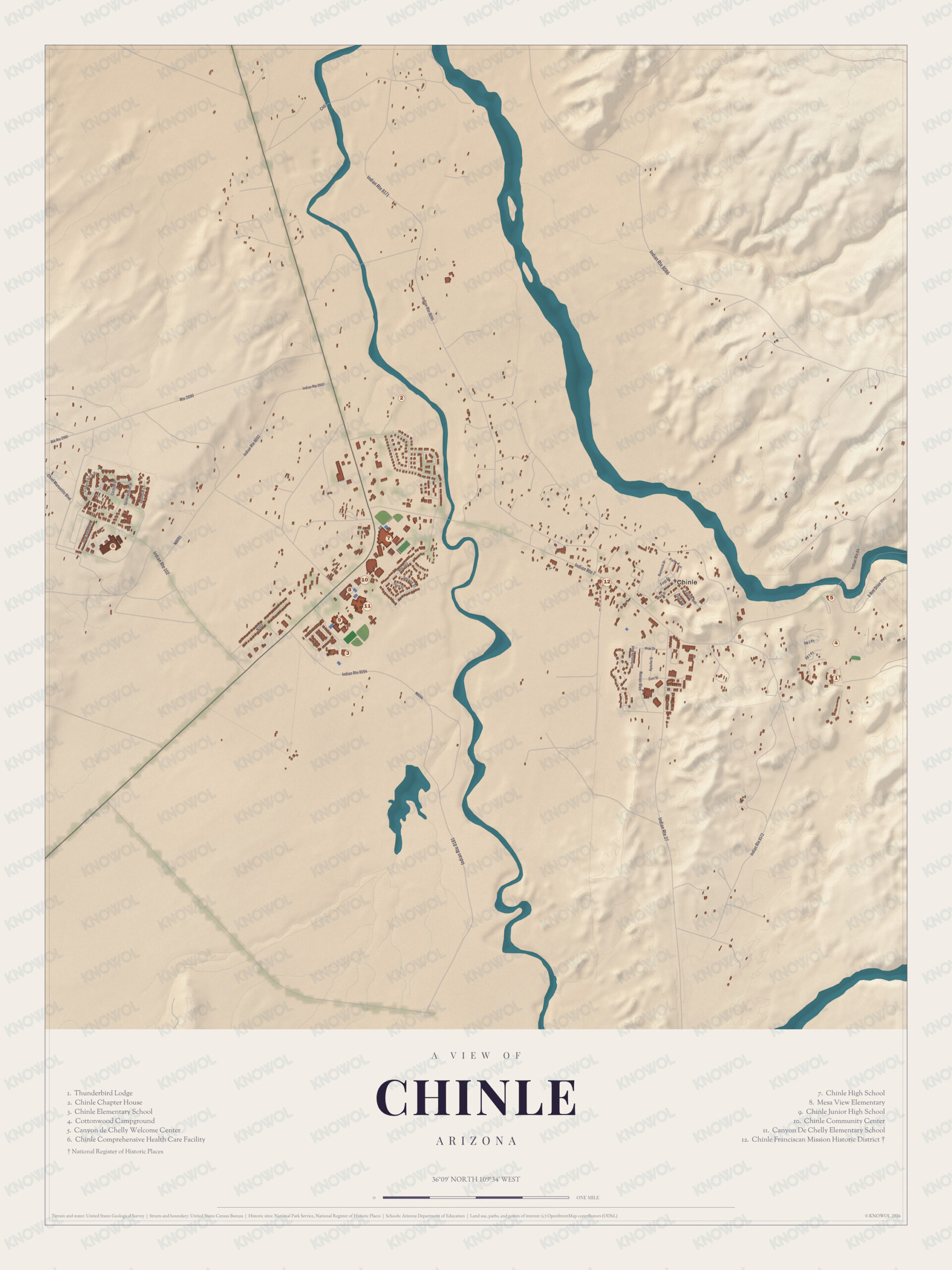
In Navajo, Chinle means “flowing out,” for the place where the water comes out of Canyon de Chelly. The canyon and Nazlini Wash shape this map of the community, and among the streets you’ll find the Chinle Franciscan Mission Historic District, Chinle High School, the Chinle Community Center, Canyon De Chelly Elementary School, Mesa View Elementary and Cottonwood Campground, all printed.
Chinle is in Apache County, on the Navajo Nation in northeastern Arizona.
KNOWOL made this map in 2026 and gave it the look of an old atlas. The shaded relief of the landscape comes from United States Geological Survey elevation data, and the streets were drawn from Census Bureau files. The census area covers 16.1 square miles and had 4,518 people in 2010. The Chinle Franciscan Mission Historic District is on the National Register of Historic Places, and we checked it against National Park Service records.
Inside the rock
The name de Chelly is the Spanish form of the Navajo word Tséyiʼ, “rock canyon,” or more literally “inside the rock.” The monument’s page describes the canyons as one of the longest continuously inhabited landscapes in North America. Hopi people are thought to have lived there off and on from about 1300, and Navajo people moved into the canyon from northern New Mexico in the early 1700s and have made it their home ever since. In 1863 troops under Kit Carson went through the canyon, a campaign that ended with the Navajo surrender and their removal to Bosque Redondo.
Canyon de Chelly National Monument was established on April 1, 1931, and Chinle is its gateway community. All of the land belongs to the Navajo Tribal Trust of the Navajo Nation, and the federal government owns none of it. The monument’s page says it’s the only unit of the National Park Service owned and managed together in this way. About 40 Navajo families live inside the park, and visitors go down onto the canyon floor only with a park ranger or an authorized Navajo guide, except on the White House Ruin Trail. Navajo-owned companies lead tours by horseback, on foot and by four-wheel drive. From South Rim Drive you can see Spider Rock, a sandstone spire 750 feet tall at the meeting of Canyon de Chelly and Monument Canyon, and in traditional Navajo belief the taller of its two spires is the home of Spider Grandmother.
Click to explore a larger preview. The digital watermark does not appear on printed maps.
Names on this map
These names are printed on this map.
Streets and roads: Indian Rte 8171, Indian Rte 1, Indian Rte 8092, Hopi Dr, Navajo Blvd and S Rim Dr Hwy.
A trading post in a tent
In the Spanish colonial period, Chinle was already a base for trade. The first trading post here ran out of a tent in 1882, and by 1885 a full-sized camp had grown up around it. The Bureau of Indian Affairs opened the Chinle Boarding School in 1910, and it stayed until 1976, when it moved to Many Farms and later took the name Many Farms Community School. The name itself was first written in English as Chin Lee, and the spelling changed to Chinle on April 1, 1941. Today branches of Diné College, Northern Arizona University and Navajo Technical University are in Chinle.
Wildcat country
Chinle High School is the largest high school on the Navajo Nation, and it serves Chinle and the communities around it, from Many Farms and Tsaile to Nazlini and Rough Rock. Its basketball teams, the Wildcats, play in the Wildcat Den, a 6,000-seat arena built in 2006 that the Arizona Republic columnist Richard Obert called “the best high school arena in Arizona.” It’s the largest building in Chinle. Their home court before the new arena opened was the Chinle Community Center, which seats 1,000 and is printed on this map. In 2019 Netflix released Basketball or Nothing, a six-episode series that followed the Chinle High School boys’ team. Canyon De Chelly Elementary School and Mesa View Elementary, both kindergarten through sixth grade, are part of the same district.
This Chinle map is a good addition to an office, library or den, and it can help teach children the geography and history of the area. It’s made for anyone who calls Chinle home, from the Wildcat Den to the mouth of the canyon, and KNOWOL created it in 2026 to show the community as it looks today. Zoom in on the preview above to explore the details, then click here to get your copy of the Chinle map.

Sources