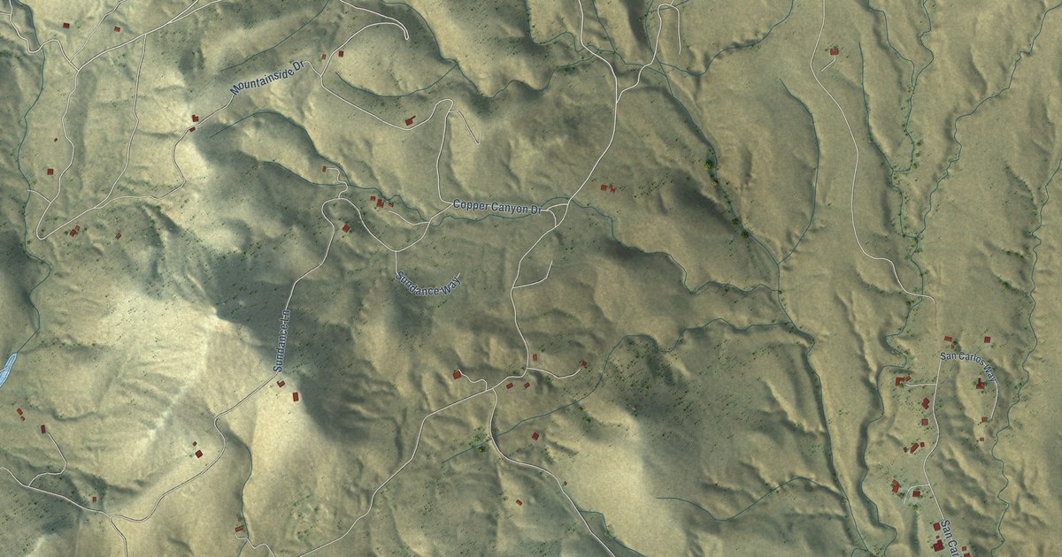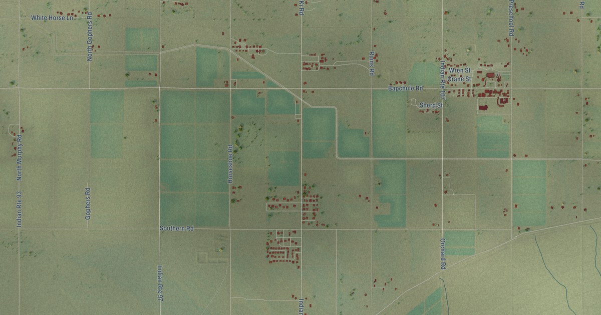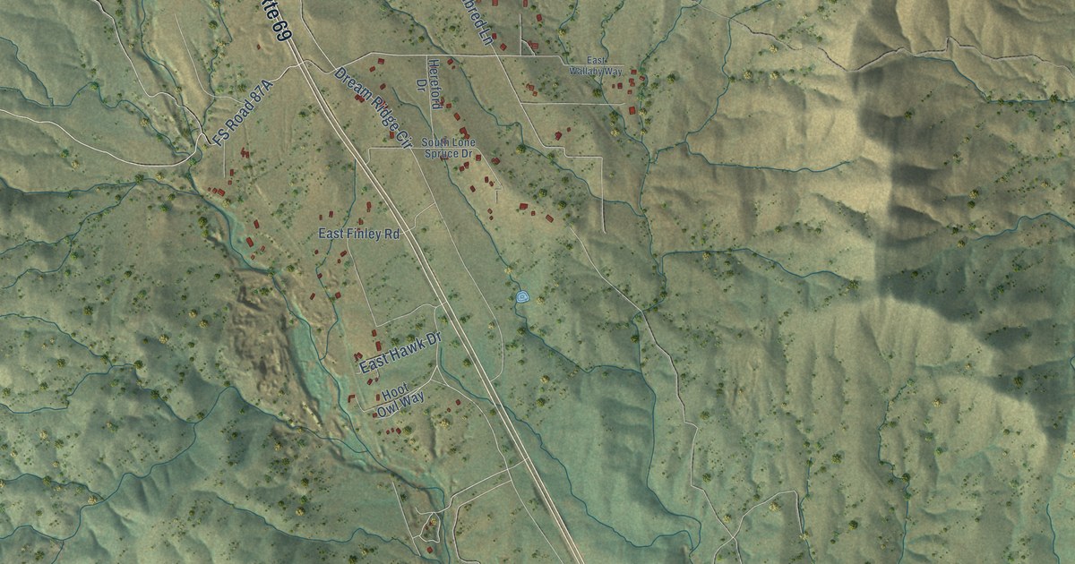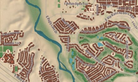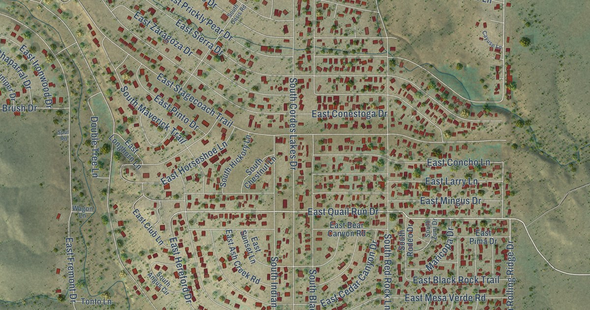
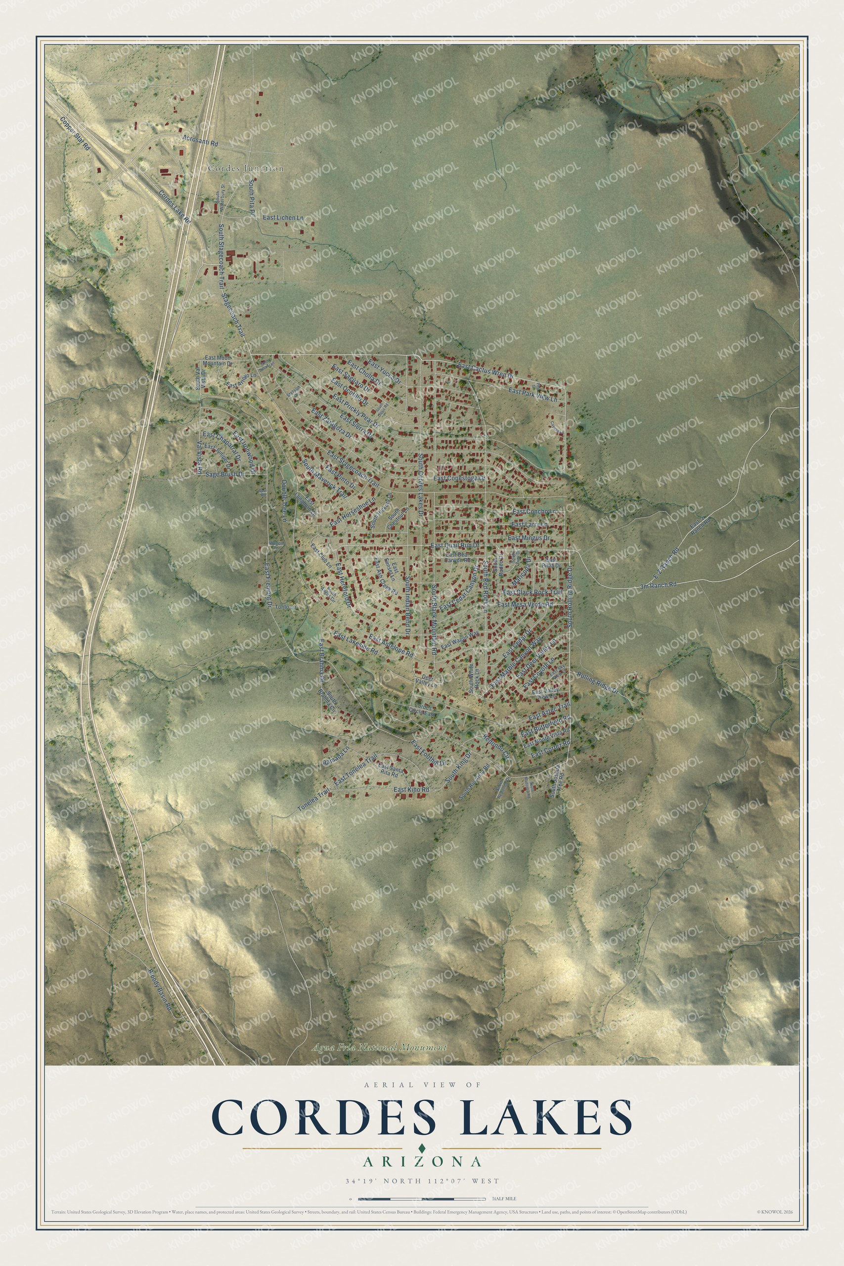
This beautifully detailed map of Cordes Lakes, Arizona was created in 2026 using aerial imagery combined with modern topographical, census, street and landmark data. It's a modern aerial view of Cordes Lakes in Yavapai County, Arizona, that combines modern data with a vintage aesthetic. The roads feature printed names, and if you look closely you can find your exact house accurately shown in its correct location.
Explore an aerial view of Cordes Lakes, Arizona
On this map you'll find Cordes Junction, Agua Fria National Monument, East Cactus Wren Drive, 3m Ranch Road, Cordes Lake Road, South Rolling Ridge Drive, East Quail Run Drive, Stagecoach Trail, Acrosanti Road, Copper Star Road, South Stagecoach Trail, Val Vista Road, and more. Each red shape is a building, so zoom in on the preview and look for yours.
Cordes Lakes is a community in Yavapai County. The Census Bureau counted 2,684 people here in 2020. Cordes Lakes sits about 4 miles southeast of Spring Valley, 11 miles southeast of Mayer and 16 miles southeast of Dewey-Humboldt. The map prints the town name in its title panel, with the coordinates below it.
Take a closer look at the Cordes Lakes map
Names on this map
These names are printed on this map.
Places: Cordes Junction and Agua Fria National Monument.
Streets and roads: East Cactus Wren Drive, Cordes Lake Road, South Rolling Ridge Drive, East Quail Run Drive, Stagecoach Trail, Acrosanti Road, Copper Star Road, South Stagecoach Trail, Val Vista Road, East Fremont Drive, East Antelope Road, South Cordes Lakes Drive.
More street names, A to Z
Bloody Basin Road, Cayuse Lane, Cordes Circle East, Deer Valley Lane, Double Tree Lane, E-Z Ranch Road, East -z Ranch Road, East Arroyo Lane, East Ash Creek Road, East Aztec Trail, East Bear Canyon Road, East Black Rock Trail, East Brahma Drive, East Butterfield Road, East Cedar Canyon Drive, East Cedar Drive, East Chaparral Drive, East Cholla Drive, East Club Lane, East Concho Lane, East Conestoga Drive, East Cortez Road, East Coyote Lane, East Deer Valley Lane, East Foothill Drive, East Hereford Drive, East Horseshoe Lane, East Ironwood Drive, East Juniper Drive, East Kino Road, East Lakeside Road, East Larry Lane, East Lichen Lane, East Longhorn Lane, East Marble Canyon Way, East Mesa Verde Road, East Mingus Drive, East Monte Vista Road, East Moon Mountain Drive, East Ocotillo Drive, East Park View Lane, East Pima Drive, East Pinto Drive, East Prickly Pear Drive, East Saguaro Drive, East Santa Rita Road, East Sierra Drive, East Sky View Lane, East Stagecoach Trail, East Sunset Lane, East Tonelea Trail, East Valley View Lane, East Wagon Way, East Yucca Drive, East Zaragoza Drive, Gold Dust Trail, Maricopa Drive, Pine Street, Ramada Lane, Redondo Circle, Rolling Ridge Drive, Sage Brush Drive, South Angus Circle, South Black Mountain Road, South Brahma Circle, South Chestnut Lane, South Hickory Lane, South Indian Bend Drive, South Joshua Tree Road, South King Drive, South Madonna Road, South Maverick Trail, South Oasis Road, South Pita Place, South Redondo Drive, South Red Rock Lane, South Rio Vista Road, South Rodeo Drive, South Val Vista Drive, South Waterbury Street, South White Rock Lane, South Zuni Drive, Spur Road, Stetson Drive, Tonelea Trail, Tonto Lane, Wagon Lane.
See it on a wall
The Cordes Lakes map as a framed print. Swipe for more.


Created by KNOWOL in 2026. The buildings are small red shapes, the roads carry their printed names, and shaded relief shows the shape of the land. The title panel reads "AERIAL VIEW OF CORDES LAKES, ARIZONA" with 34°19' NORTH 112°07' WEST.
Hang it in the hallway, the office or the cabin, or give it to someone who left Cordes Lakes and still calls it home. Open the preview and look for a street you know. See sizes and frames for the Cordes Lakes map.