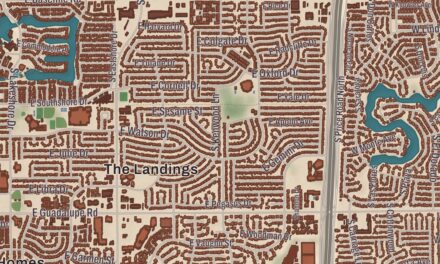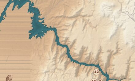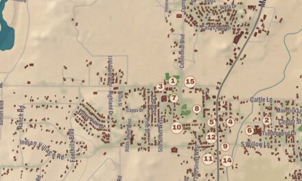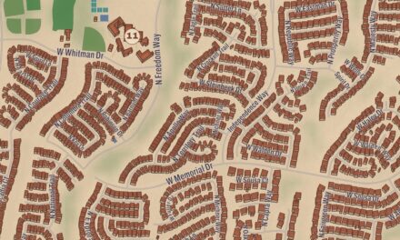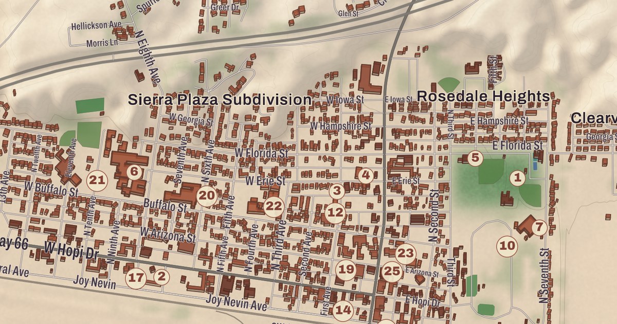
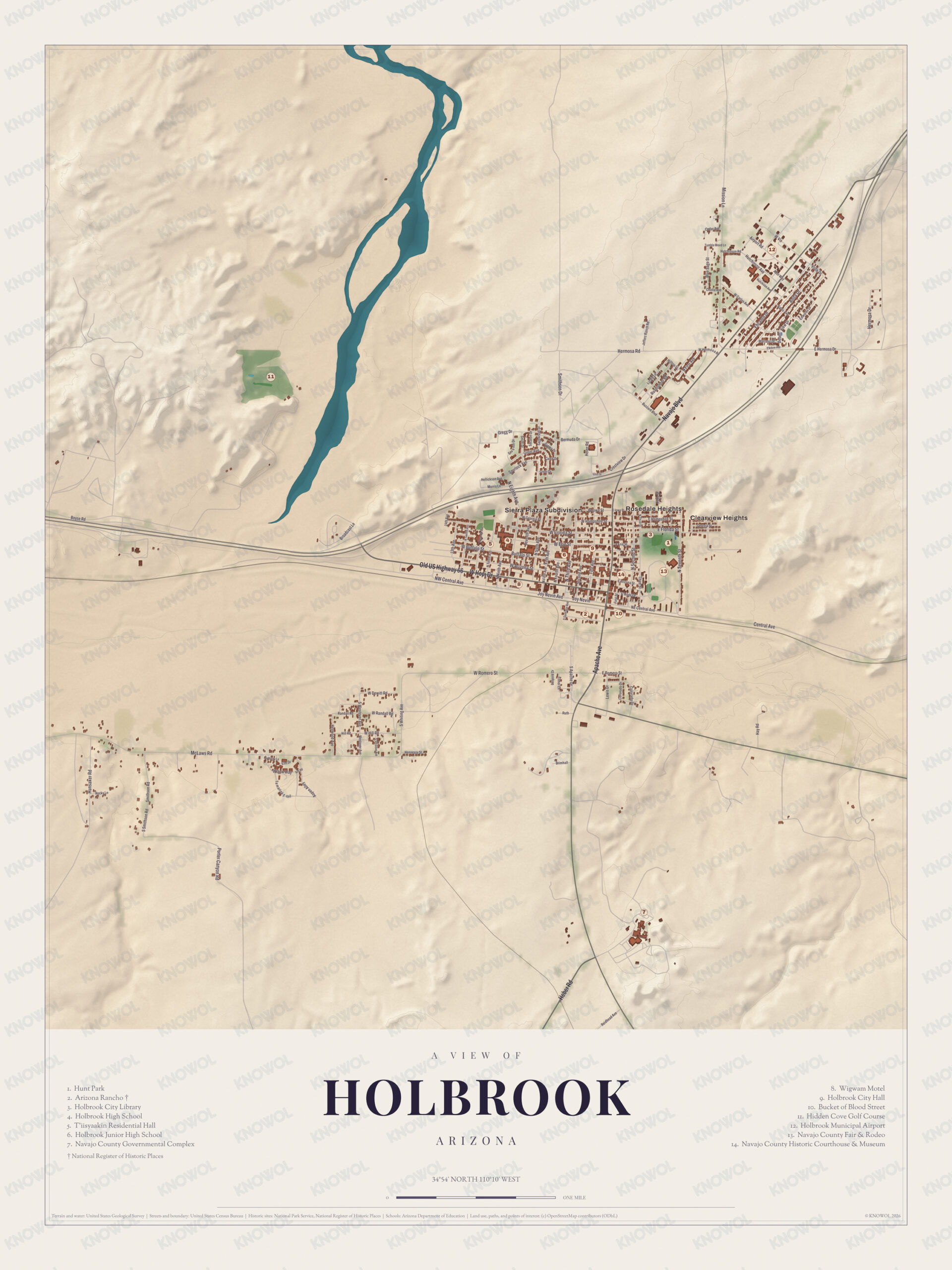
Holbrook grew up around a railroad station and became the headquarters of the Hashknife Outfit, whose cattle ranged over two million acres, and later a stop on Route 66. This map prints the Arizona Rancho, the Wigwam Motel, Holbrook High School, Hunt Park, the Hidden Cove Golf Course and Bucket of Blood Street.
Holbrook is the county seat of Navajo County.
KNOWOL made this map in 2026 and gave it the look of an old atlas. The shaded relief of the landscape comes from United States Geological Survey elevation data, and the streets were drawn from Census Bureau files. The Arizona Rancho was checked against National Park Service and National Register of Historic Places records. In Navajo the city is Tʼiisyaakin. It covers 15.4 square miles, and 4,858 people lived here at the 2020 census.
The railroad and the Hashknife
Ancestral Puebloans lived here first, then Puebloans, and then the Navajo and Apache. In 1540 men from Coronado’s expedition crossed the Little Colorado about 25 miles east of today’s town and named the colorful country El Desierto Pintada, the Painted Desert, and Hopi guides then led them to the Grand Canyon. After the Mexican-American War the U.S. Army sent three expeditions along the 35th parallel, and the third, led by Lieutenant Beale, cut a wagon road through. A store and saloon went up where the Puerco and Little Colorado Rivers meet, two miles east of Holbrook, at a place called Horsehead Crossing, and in 1876 Mormon settlers from Utah began settlements nearby.
The railroad came through in 1881 and 1882, and the town was named for Henry Randolph Holbrook, the first chief engineer of the Atlantic and Pacific Railroad. The railroad sold a million acres to investors who formed the Aztec Land and Cattle Company, which brought in about 32,000 head of cattle from Texas. Its brand was a hash knife, a chuckwagon tool for making beef hash, so the company became better known as the Hashknife Outfit. It moved its headquarters to Holbrook, leased another million acres, and Holbrook’s page calls it one of the largest cattle ranches ever to exist. The original station was replaced by the Santa Fe Depot in 1892, Holbrook became the seat of the new Navajo County in 1895, and many cowboys from here rode with Theodore Roosevelt’s Rough Riders. By 1902 the Hashknife was bankrupt and its land went to the Babbitt brothers. For a while Holbrook was called “the town too tough for women and churches,” and in the early 1900s it was said to be the only county seat in the country without a church.
Route 66
Holbrook incorporated in 1917, and in 1926 most of Beale’s old wagon road became Route 66, running through the Petrified Forest and through Holbrook, and tourism took over the town’s economy. Holbrook is the nearest city to Petrified Forest National Park, named for its large deposits of petrified wood, which became a national monument in 1906 and a national park in 1962. The Navajo County Courthouse downtown, built in 1898, is used now by the Navajo County Historical Society and is on the National Register.
The Wigwam Motel on Hopi Drive, listed on the National Register as Wigwam Village #6, was built in 1950 by Chester E. Lewis. He’d seen Frank A. Redford’s wigwam design in Cave City, Kentucky, in 1938, and he paid for the rights with every dime that guests dropped into coin-operated radios in the rooms, sent on to Redford. Fifteen concrete and steel wigwams stand on three sides of a square, each 32 feet tall. Lewis closed the motel in 1974 when Interstate 40 bypassed downtown, and two years after he died in 1986, his sons Clifton and Paul and his daughter Elinor fixed it up and reopened it. The Lewis family still runs it, and the Cozy Cone Motel in the Pixar film Cars was clearly inspired by it.
Click to explore a larger preview. The digital watermark does not appear on printed maps.
Names on this map
These names are printed on this map.
Streets and roads: Hermosa Rd, Mission Ln, McLaws Rd, Broadcast Ln, Gregg Dr, Bermuda Dr, Central Ave, W Romero St, W Randall Rd, Crestview Dr, Joy Nevin, Navajo Blvd.
More street names, A to Z
Apache Ave, Aspen Aly, Bucket of Blood St, Hay Rd, Heber Rd, Porter Canyon Rd, Reidhead Ave, Smithson Rd.
The Arizona Rancho began as a house that Pedro Montaño built of adobe between 1881 and 1883, and it’s thought to be the oldest building still standing in Holbrook. It grew into a boarding house, the Brunswick Hotel, a hospital wing in the 1930s, and housing for Navy pilot candidates during World War II, and it took the name Arizona Rancho in the 1940s. After Interstate 40 took the traffic farther away, the hotel closed. It went on the National Register on October 17, 1997. Bucket of Blood Street, named for an old saloon, sits one block south of the historic Santa Fe station, and in a 2006 poll it ranked sixth among the wackiest street names.
On the evening of July 19, 1912, a meteorite exploded high over Navajo County, and more than 16,000 fragments fell on an area about 6 miles east of Holbrook. One witness, 17-year-old Pauline McCleve, called it the loudest sound she ever heard. The largest piece found weighs 14.5 pounds and is at Arizona State University. The NASA engineer Aaron Yazzie, who is Diné, grew up in Holbrook, where his father was a civil engineer and his mother a math teacher; at the Jet Propulsion Laboratory he has worked on the Mars Science Laboratory, InSight and Mars 2020 missions. Holbrook High School, Hunt Park and the Hidden Cove Golf Course have their places on the sheet.
This Holbrook map is a good addition to an office, library or den, and it can help teach children the geography and history of the area. It’s made for anyone who calls Holbrook home, and KNOWOL created it in 2026 to show the city as it looks today. Zoom in on the preview above to explore the details, then click here to get your copy of the Holbrook map.

Sources