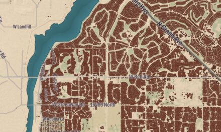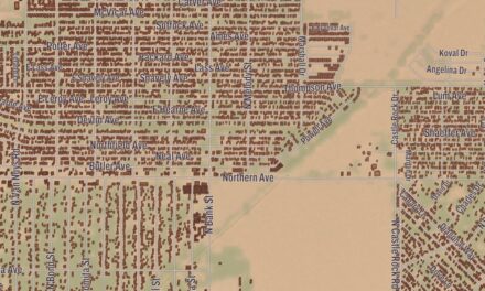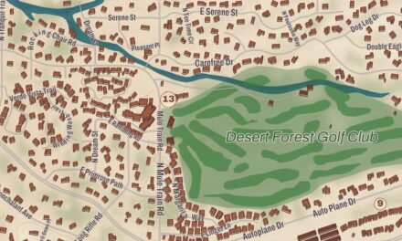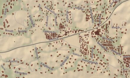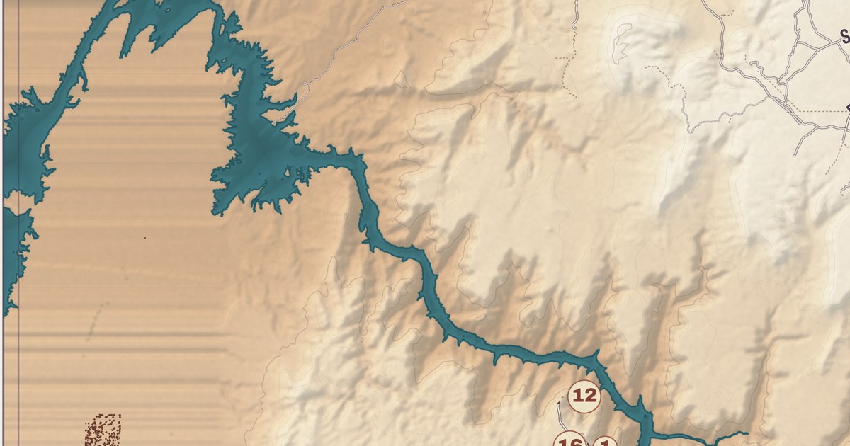
The Hualapai call themselves Hwalbáy, “people of the tall pines,” from hwa:l, their word for the ponderosa pine, and pai, “people.” This map follows their country from Peach Springs Community out to Frazier Wells. It prints Eagle Point, Diamond Creek, the Hualapai Lodge, Music Mountain Academy, Peach Springs Trading Post and the Schoolhouse at Truxton Canyon Training School, with Andrus Point, Anvil Rock and Aspen Peak in shaded relief.
The Hualapai Reservation reaches into Coconino County, Yavapai County and Mohave County in northern Arizona.
KNOWOL made this map in 2026 and gave it the look of an old atlas. The shaded relief of Andrus Point, Anvil Rock and Aspen Peak comes from United States Geological Survey elevation data, and the streets were drawn from Census Bureau files. Historic sites such as the Schoolhouse at Truxton Canyon Training School and Peach Springs Trading Post were confirmed against the National Park Service and the National Register of Historic Places. President Chester A. Arthur created the reservation by executive order on January 4, 1883, and it covers 1,142 square miles, with its headquarters at Peach Springs.
People of the tall pines
The Hualapai traditional territory is a 108-mile stretch along the pine-clad southern side of the Grand Canyon and the Colorado River. The tribe is a sovereign nation, governed by an executive branch, a judicial branch and a tribal council, and it has about 2300 enrolled citizens, about 1353 of whom live on the reservation. The Hualapai and the Havasupai are, ethnically, one people, though they’re politically separate groups today. The Hualapai were made up of three subtribes, the Middle Mountain People, the Plateau People and the Yavapai Fighters, which were divided into bands and then into local groups of extended families living in small villages. The reservation was set on lands that four of those regional bands counted as part of their home range, among them the Yi Kwat Pa’a, the Peach Springs band, and the Ha’kasa Pa’a, the Pine Springs band.
Peach Springs has its own Hualapai name, Hàkđugwi:v, and the older form Ha’ke-takwi’va means “a series of springs.” The major traditional ceremonies are the Maturity ceremony and the Mourning ceremony, and a modern Sobriety Festival is held in June. Traditional dress was full suits of deerskin with rabbit skin robes, and homes were cone-shaped wikiups built from cedar boughs. In Hualapai belief, the souls of the dead travel northwest to a beautiful land of plentiful harvests, a land only Hualapai spirits can see.
The Hualapai language belongs to the Pai branch of the Yuman-Cochimí languages, and it’s shared with the Havasupai, whose speech differs only at the level of dialect. It’s spoken by most people over 30 on the reservation and by many young people too. The Hualapai way of writing the language was developed in the 1970s, partly to preserve it for teaching and for history, and the Peach Springs School District runs a bilingual program for all of its students, Hualapai and non-Hualapai, along with immersion camps.
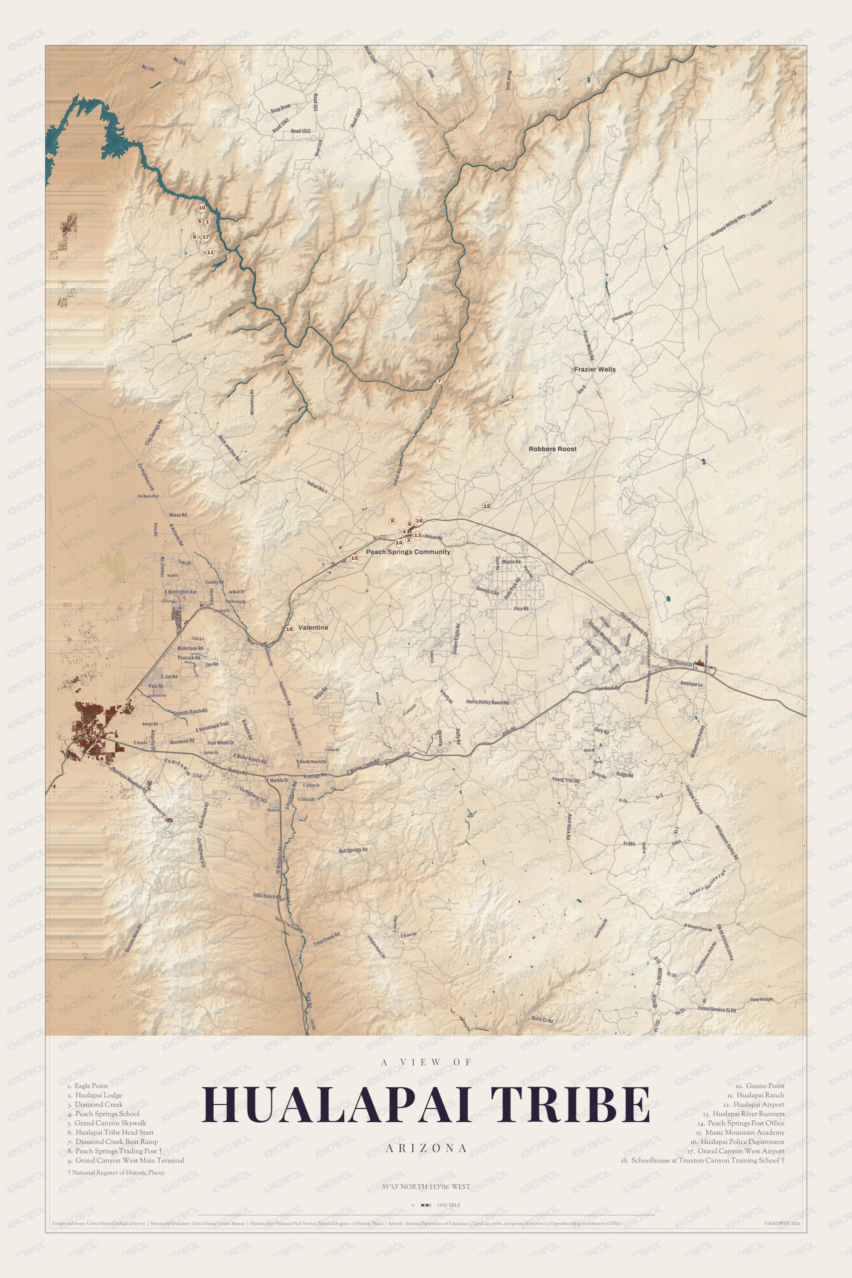
Click to explore a larger preview. The digital watermark does not appear on printed maps.
Names on this map
These names are printed on this map.
Streets and roads: Rd 1012, Np 153, Rd 1062, Rd 103, Rd 1002, Rd 1019, Thorton Wash, Indian Rte 18, Hualapai Hilltop Hwy, N Wash, Mikes Rd, Country Rd.
More street names, A to Z
Amigo Rd, Austin Rd, Big Mountain, Blake Ranch Rd, Bogles Ranch, Brand Ranch Rd, California Dr, Camp Wood Rd, Co Hwy 129, Co Hwy 193, Creek Rd, Dennys 5 Rd, Dubois Rd, E Huntington Ave, E Jan Rd, E Lee Lea Dr, El Oro Dr, El Porto Ln, E Marble Dr, E Martin Rd, E Miller Rd, E Siesta, E Silica Dr, E Silver Dr, Foothill Dr, Forest Service 21 Rd, Fort Rock Rd, Four Wheel Dr, Fr 664, Frazier Wells Rd, Frontage Rd, Fs 702, Gary Rd, Golden Eagle Rd, Grounds Ranch Rd, Harris Valley Ranch Rd, Indian Rte 1, Indian Rte 6, Jackie Dr, Jan Rd, Jolly Rd, Lois Ln, Loma Vista Ln, Mountain Pkwy, N Antares Rd, Nelson Rd, Odle Ranch Rd, Old Rd, Old US Hwy 66, Park Rd, Pate Rd, Peacock Rd, Pica Rd, Pima Rd, Ranch Rd, Ridge Rd, Robbers Roost, Sand Stone Rd, Shilo Dr, Spring Rd, Stipa Rd, Trail Rd, Valley Rd, Watertank Rd.
Peach Springs and the canyon
Peach Springs sits on both sides of State Route 66, the old U.S. Route 66, and on the former Santa Fe railroad line. Route 66 brought large numbers of travelers through town until Interstate 40 opened 25 miles to the south in 1978, and Peach Springs carried on as the tribe’s administrative base. It was one of the towns that inspired Radiator Springs in the 2006 Pixar film Cars. The Hualapai Lodge, a motel, is here, along with a small grocery market with fuel. The John Osterman Shell Station, built by a Swedish immigrant in 1929, closed soon after 2000, and in 2007 the Hualapai Tribe won a federal matching grant to rehabilitate it; it was listed on the National Register of Historic Places in 2012 and hadn’t reopened when its page was written. Peach Springs once had its own high school, Music Mountain Junior/Senior High School, which closed in 2008. Music Mountain Academy has its place on the sheet.
Diamond Creek, Gwada in Hualapai, is an intermittent stream that runs north from Peach Springs to the Colorado River. Diamond Creek Road, graded along the creek, is the only way to drive to the river between Lees Ferry, 225 miles upriver, and Pierce Ferry, 52 miles downriver, and rafting trips through the Grand Canyon take out there; the tribe charges a fee to use it. Eagle Point is the home of the Grand Canyon Skywalk, a horseshoe-shaped glass walkway that the Hualapai commissioned and own. It opened in 2007, reaches out over a side canyon with a drop of 500 to 800 feet beneath it, and anchors Grand Canyon West, the tribe’s tourism development, founded in 1988. Grand Canyon West first passed a million visitors in a year in 2015, and in 2023 the tribe installed a solar-powered microgrid there.
The Bureau of Indian Affairs ran the Truxton Canyon Training School in Valentine, a community on Route 66 that sits mostly in a separate piece of the reservation, from 1903 to 1937, and the bureau still has an office there. The Schoolhouse at Truxton Canyon Training School is printed on this sheet, and so are Frazier Wells and the Peach Springs Trading Post.
This map of the Hualapai Tribe is a good addition to an office, library or den, and it can help teach children the geography and history of the area. It’s made for anyone who calls Hualapai Tribe home, from Peach Springs Community out to Frazier Wells, and KNOWOL created it in 2026 to show the land as it looks today. Zoom in on the preview above to explore the details, then click here to get your copy of the Hualapai Tribe map.

Sources