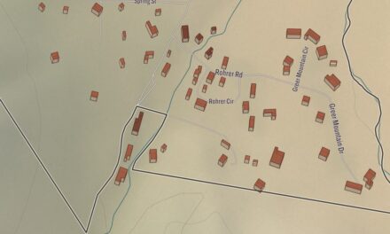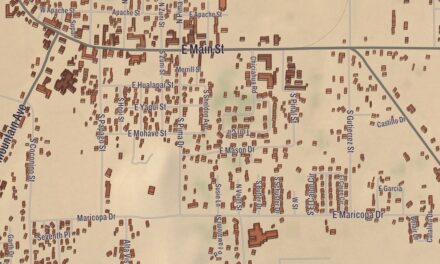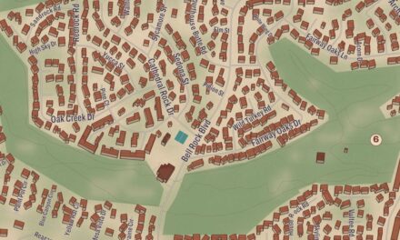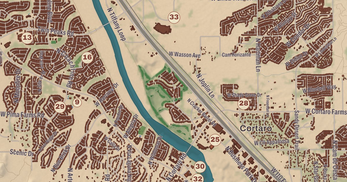
Marana got its name from maraña, Spanish for “thicket,” a name given by 19th-century railroad workers who had to clear a line through the area. This map runs from Dove Mountain out to Cortaro and prints Tangerine Sky Community Park, Continental Ranch Community Park, the Marana Aquatic and Recreation Center, Marana Middle School, Gladden Farms Elementary and Twin Peaks Elementary School, with the Santa Cruz River, Cañada Agua Wash and the Cañada del Oro giving shape to the land.
Marana is a town northwest of Tucson that lies mostly in Pima County, with a small part in Pinal County.
KNOWOL made this map in 2026 and gave it the look of an old atlas. The shaded relief of the landscape comes from United States Geological Survey elevation data, and the streets were drawn from Census Bureau files. The town sits in the Sonoran Desert, ringed by the Tortolita Mountains, the Santa Catalina Mountains and the Tucson Mountains, and 51,908 people lived here at the 2020 census.
Four thousand years on the Santa Cruz
Archaeologists have found evidence of about 4,200 years of people living continuously around Marana, in the middle of the Santa Cruz Valley. Las Capas, an early farming site near today’s Ina Road and Interstate 10, was lived in from 4,200 to 2,500 years ago, and the town’s page says it holds the oldest-known cemetery in the American Southwest, the oldest-known canals in North America and the oldest tobacco pipes in the world. Marana Mound, from between 1150 and 1300, is what remains of a large platform mound that was the center of a Hohokam community living between the Santa Cruz River and the Tortolita Mountains, inside an adobe compound wall, and the whole complex covers about a square mile. Los Morteros, a Hohokam ballcourt village near the Point of the Mountain, is thought to be where the Juan Bautista de Anza expedition camped in 1775 on its way north along the Santa Cruz River toward San Francisco, and a 15-mile stretch of the expedition’s route through Marana is part of the Juan Bautista de Anza National Historic Trail.
A women’s club made the name official. According to historian David Leighton, William Anway settled with his family in an area northwest of Tucson called Postvale, and in 1920 he married Orpha Ralston, a longtime member of the Postvale Co-operative Women’s Club. The club lobbied to have the local post office renamed from Postvale to Marana, and in time the town took the name too. Marana became a farming center after World War I, growing cotton, wheat, barley, alfalfa and pecans. During World War II the Army built the Marana Airfield, now the Pinal Airpark, and the town’s page says it became the largest pilot-training center in the world, training some 10,000 flyers. Marana incorporated in March 1977 with about 10 square miles and 1,500 residents, and it now measures a little more than 120 square miles.
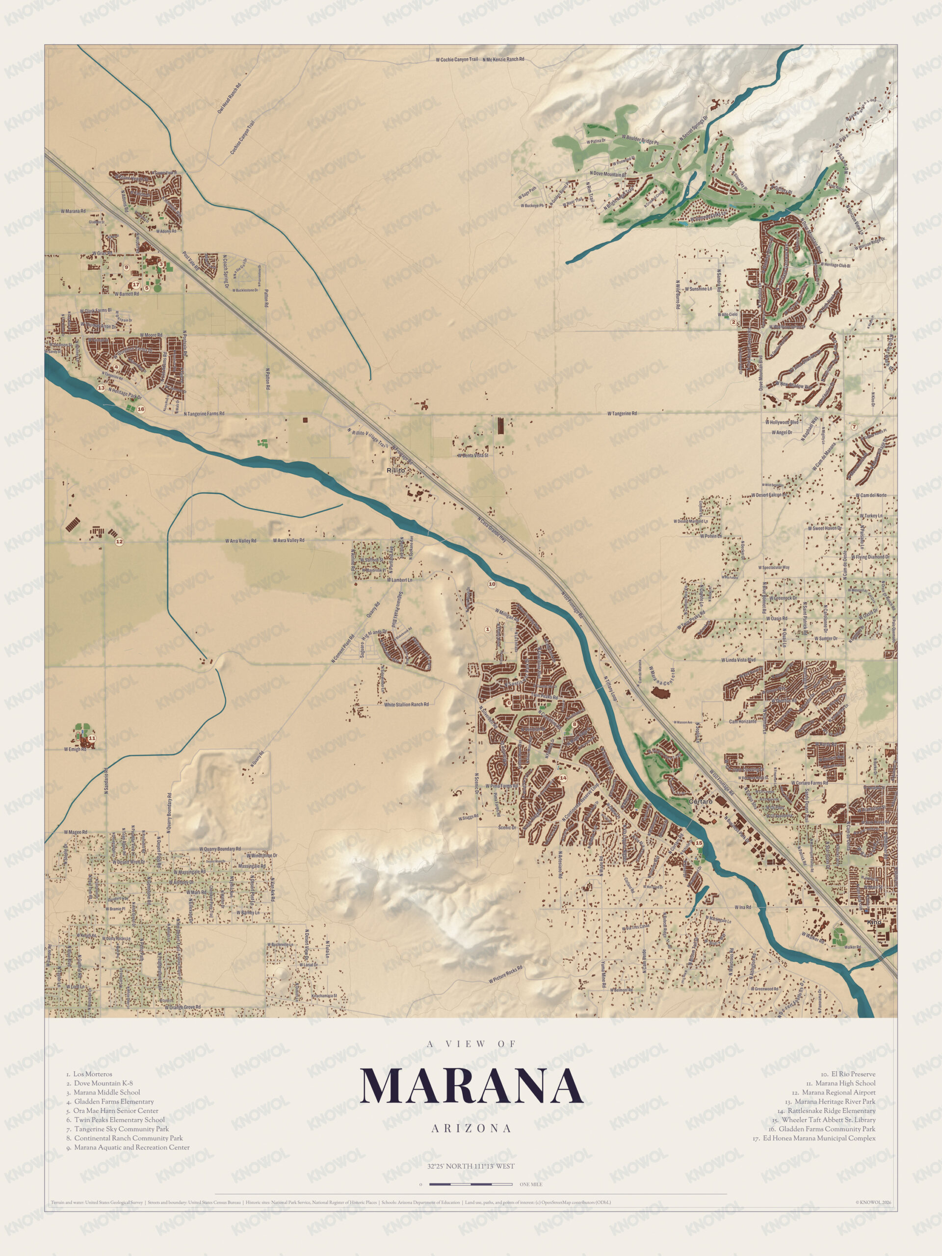
Click to explore a larger preview. The digital watermark does not appear on printed maps.
Names on this map
These names are printed on this map.
Streets and roads: W Marana Rd, W Adonis Rd, W Bucklestone Dr, Moore Rd, Park Dr, Owl Head Ranch Rd, N Heritage, W Cochie Canyon Trl, N Mc Kenzie Ranch Rd, Mountain Dr, W Buckeye Ph, E Sunshine Ln.
More street names, A to Z
Benta Vista St, Cam del Norte, Cam Horizante, Cortaro Rd, E Boundary Rd, Elm Way, Greenwood Rd, Kirachamaca St, Massingale Rd, N Artesiano Rd, N Cement Plant Rd, N Spokane Ave, N Tangerine Farms Rd, N Van Ark Rd, Panorama Dr, Quarry Rd, Ranch Rd, Sands Dr, Scenic Dr, S Lambert Ln, Spring Dr, Sunshine Ln, Taylor Ln, Twin Peaks Rd, Walker Rd, W Alto Cielo, W Angel Dr, W Arra Valley Rd, W Avra Valley Rd, W Barney Ln, W Cortaro Farms Rd, W Greenock Dr, White Stallion Ranch Rd, W Hollywood Blvd, W Ina Rd, Windchime Dr, W Lariat Dr, W Linda Vista Blvd, W Magee Rd, W Oasis Rd, W Orange Grove Rd, W Potvin Ln, W Quarry Boundary Rd, W Spectacular Way, W Sumter Dr, W Sweet Haven Dr, W Tangerine Rd, W Turkey Ln.
From Dove Mountain to Cortaro
Dove Mountain is a master-planned community in the foothills of the Tortolita Mountains, and it takes its name from them: tortolita means “little turtle dove” in Spanish. It opened in 1998 and has about 5,000 homes on more than 6,200 acres. Its Ritz-Carlton Golf Club, with a course designed by Jack Nicklaus, hosted the PGA Tour’s WGC Match Play Championship, which came to Marana in 2007 and stayed through 2014; Henrik Stenson won the first one, and Tiger Woods won in 2008. Cortaro is a neighborhood of Marana along Interstate 10, 13 miles northwest of Tucson. Since 2016 Marana has also been home to one of Arizona’s four state veterans memorial cemeteries.
The Santa Cruz River is printed on this sheet. Cañada Agua Wash and the Cañada del Oro have their places on the sheet too. Marana Middle School, Gladden Farms Elementary and Twin Peaks Elementary School are printed too. Most of the town is in the Marana Unified School District, which has 16 schools. The two community parks and the Marana Aquatic and Recreation Center have their places on the sheet as well.
This Marana map is a good addition to an office, library or den, and it can help teach children the geography and history of the area. It’s made for anyone who calls Marana home, from Dove Mountain out to Cortaro, and KNOWOL created it in 2026 to show the town as it looks today. Zoom in on the preview above to explore the details, then click here to get your copy of the Marana map.

Sources