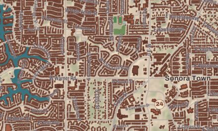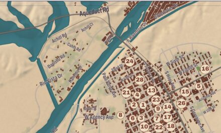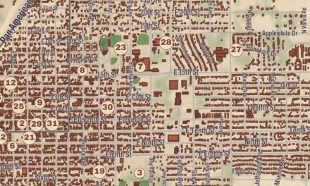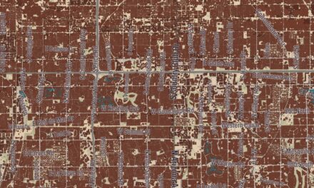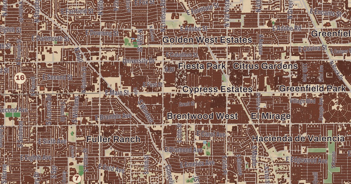
One of Mesa’s neighborhoods is older than the city itself. This map runs from Lehi out to Dobson Ranch and prints the Lehi School, the Alhambra Hotel, the Evergreen Historic District, the Fraser Fields Historic District and the Park of the Canals, with Boulder Mountain, Brown Road Butte and Falcon Hill in shaded relief. The Mesa Woman’s Club has its place on the sheet too.
Mesa is a city in Maricopa County, in the East Valley of the Phoenix metropolitan area.
KNOWOL made this map in 2026 and gave it the look of an old atlas. The shaded relief of Boulder Mountain, Brown Road Butte and Falcon Hill comes from United States Geological Survey elevation data, and the streets were drawn from Census Bureau files. Historic sites such as the Evergreen Historic District, the Mesa Woman’s Club and the Alhambra Hotel were confirmed against the National Park Service and the National Register of Historic Places. With 504,258 people at the 2020 census, Mesa is the third-most populous city in Arizona, after Phoenix and Tucson.
The canals came first
Mesa’s history goes back at least 2,000 years, to the Hohokam, who built the area’s first canal system. The city’s page calls those canals the largest and most sophisticated in the prehistoric New World: some were up to 90 feet wide and 10 feet deep at their head gates and ran as far as 16 miles across the desert, and by 1100 CE they carried water to more than 110,000 acres. By 1450 the Hohokam had dug hundreds of miles of canals, and many are still in use. The city’s page lists the Park of the Canals among Mesa’s archaeological sites.
In March 1877 a party of Mormon settlers led by Daniel Webster Jones reached the north side of the present city from St. George, Utah. Their settlement was first called Fort Utah and Jonesville, and in 1883 it was renamed Lehi, after the prophet Lehi of the Book of Mormon, at the suggestion of Brigham Young Jr. Jones invited local Native Americans to live with the settlers, the invitation became a point of controversy, and half of the first colonists left to found St. David. Lehi was annexed by Mesa in 1970 and is now the northern edge of central Mesa, between the Salt River and the Consolidated Canal. The Lehi School, its main building put up in the 1910s and its auditorium added in the 1930s as a Works Progress Administration project, was listed on the National Register in 2001, and it’s now the Mesa Historical Museum, where an exhibit on spring training baseball in Arizona began in 2008.
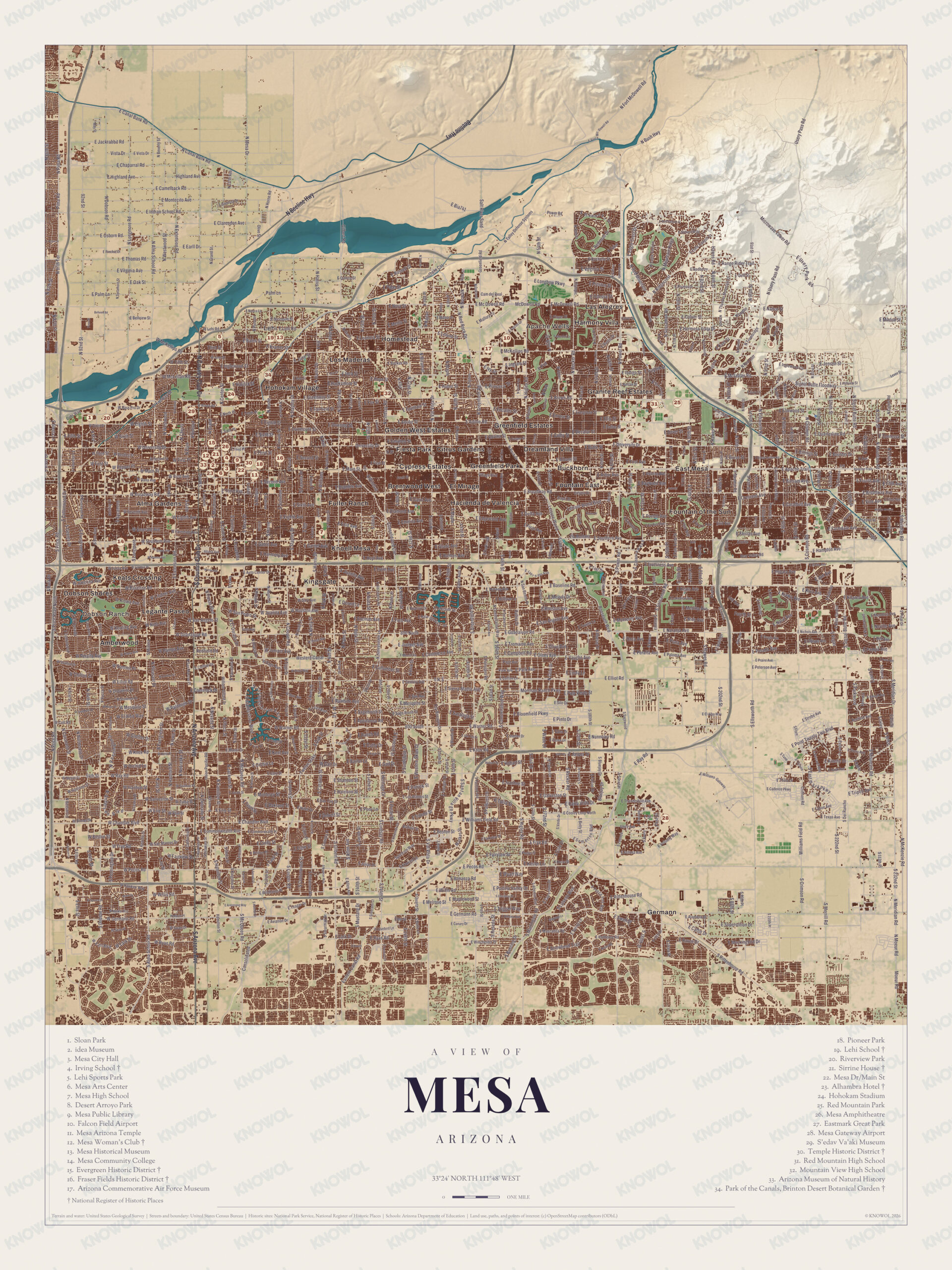
Click to explore a larger preview. The digital watermark does not appear on printed maps.
Names on this map
These names are printed on this map.
Streets and roads: E Jackrabbit Rd, E Vista Dr, E Chaparral Rd, E Highland Ave, Highland Ave, E Camelback Rd, E Montecito Ave, E Clarendon Ave, E Osborn Rd, E Thomas Rd, E Virginia Ave, E Oak St.
More street names, A to Z
2nd St, 22nd St, 91st St, 92nd St, Boston St, Brentwood Way, Cam del Real, Crimson Rd, Cypress St, E Baseline Rd, E Bellview St, E Bia741, E Bloomfield Pkwy, E Elliot Rd, E Ellsworth Rd, E Germann Rd, E Hampton Ave, E Longbow Pkwy, El Rancho, E Minton St, E Palm Ln, E Pecos Rd, E Peterson Ave, E Pinon Dr, E Pinto Dr, E Ray Rd, E Red Mountain Park, E Rittenhouse Rd, E Shannon St, Field Rd, Jensen St, McDowell Rd, Microwave Tower Rd, Moeur Rd, N Beeline Hwy, N Bush Hwy, N Fort McDowell Rd, N Horne Rd, N McKenzie Rd, N Meridian Rd, Palm Ln, Paloma Ave, Texas Ave, Usery Pass Rd, Vista Dr.
Mesa City on the mesa
Another group from Utah and Idaho, the First Mesa Company, led by Francis Martin Pomeroy, Charles Crismon, George Warren Sirrine and Charles I. Robson, chose to climb up onto the mesa that gives the city its name instead of joining Lehi. They dug irrigation canals, reusing some of the Hohokam ones, and by April 1878 water was flowing. Mesa City was registered as a one-square-mile townsite on July 17, 1878, the first school went up in 1879, and in 1883 the town incorporated with 300 people. The Alhambra Hotel dates from 1893 and was rebuilt in 1922, and it was listed on the National Register in 1991.
Fifty-three women founded the Woman’s Club of Mesa in 1917. They paid for city parks, gave scholarships and fed hungry schoolchildren, and in 1923, after cotton prices crashed, the club and the city paid off what was owed on the property for Mesa’s first hospital, keeping it from closing. Club members then set aside “hospital sew days” to make medical supplies at their clubhouse. That clubhouse, a one-story Spanish Colonial Revival building with a tiled turret over the door, was designed by Phoenix architect Henry C. Grote and built in 1931 for $10,580. It’s on the National Register and is now an event venue, the Guild of the Vale.
Dobson Ranch was built between 1973 and 1999 as a planned community on and around a homestead the city bought from the Dobson family, with a golf course and several small lakes, and one of Mesa’s public libraries is the Dobson Ranch Branch. The Fraser Fields Historic District, Boulder Mountain, Brown Road Butte and Falcon Hill are printed as well.
This Mesa map is a good addition to an office, library or den, and it can help teach children the geography and history of the area. It’s made for anyone who calls Mesa home, from Lehi out to Dobson Ranch, and KNOWOL created it in 2026 to show the city as it looks today. Zoom in on the preview above to explore the details, then click here to get your copy of the Mesa map.

Sources