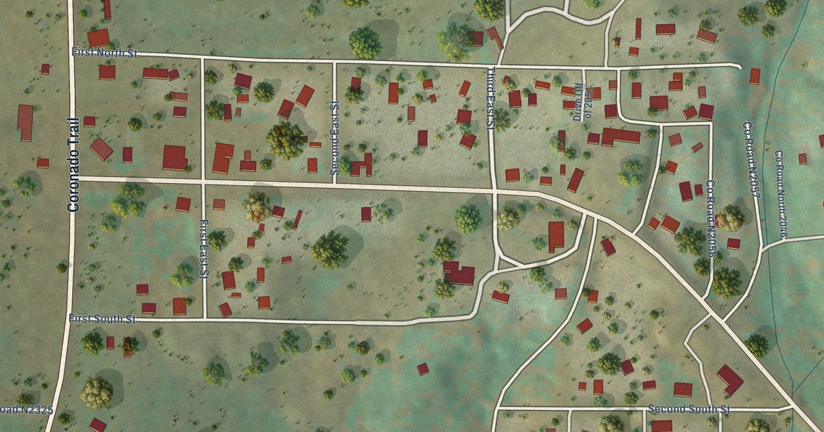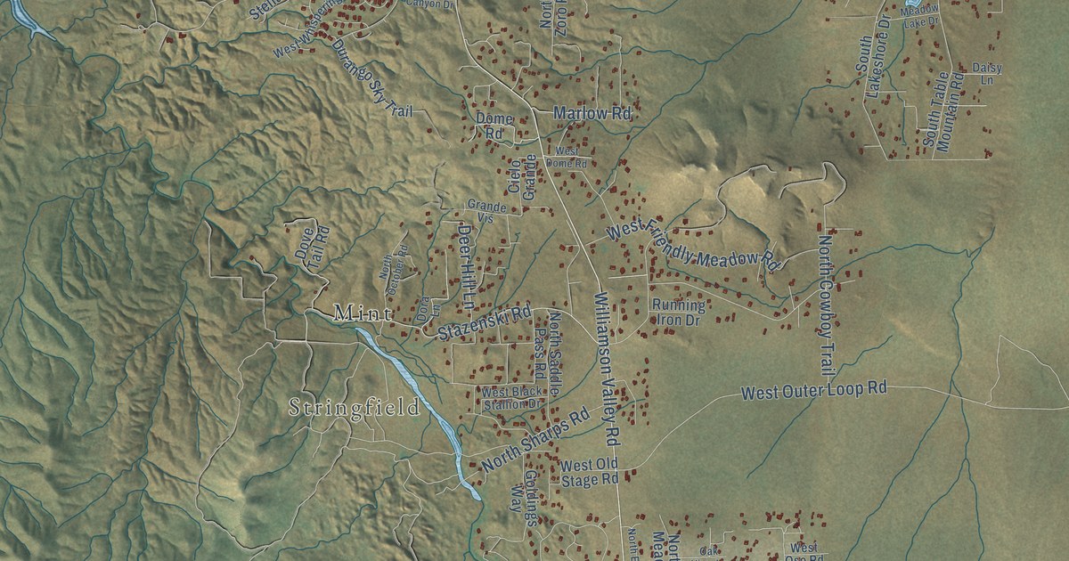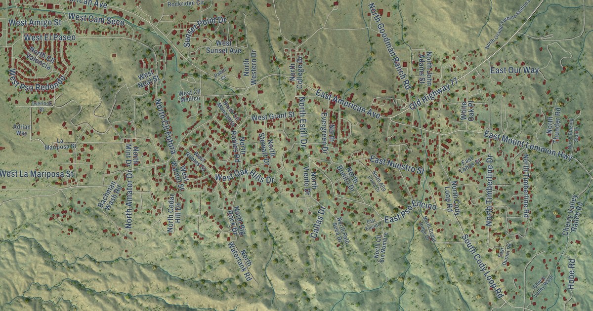
This beautifully detailed map of Oracle, Arizona was created in 2026 using aerial imagery combined with modern topographical, census, street and landmark data. It's a modern aerial view of Oracle in Pinal County, Arizona, that combines modern data with a vintage aesthetic. The roads feature printed names, and if you look closely you can find your exact house accurately shown in its correct location.
Explore an aerial view of Oracle, Arizona
On this map you'll find Campo Bonito, Highjinks, Oracle State Park, Cody Loop Road, East Mount Lemmon Highway, South Cody Loop Road, East Pso Encino, North Estill Drive, Old Highway 77, American Avenue, East American Avenue, West American Avenue, and more. Each red shape is a building, so zoom in on the preview and look for yours.
Oracle is a community in Pinal County. The Census Bureau counted 3,051 people here in 2020. Oracle sits about 6 miles northwest of Campo Bonito, 6 miles southwest of Mammoth and 6 miles northeast of Saddlebrooke. The map prints the town name in its title panel, with the coordinates below it.
Take a closer look at the Oracle map
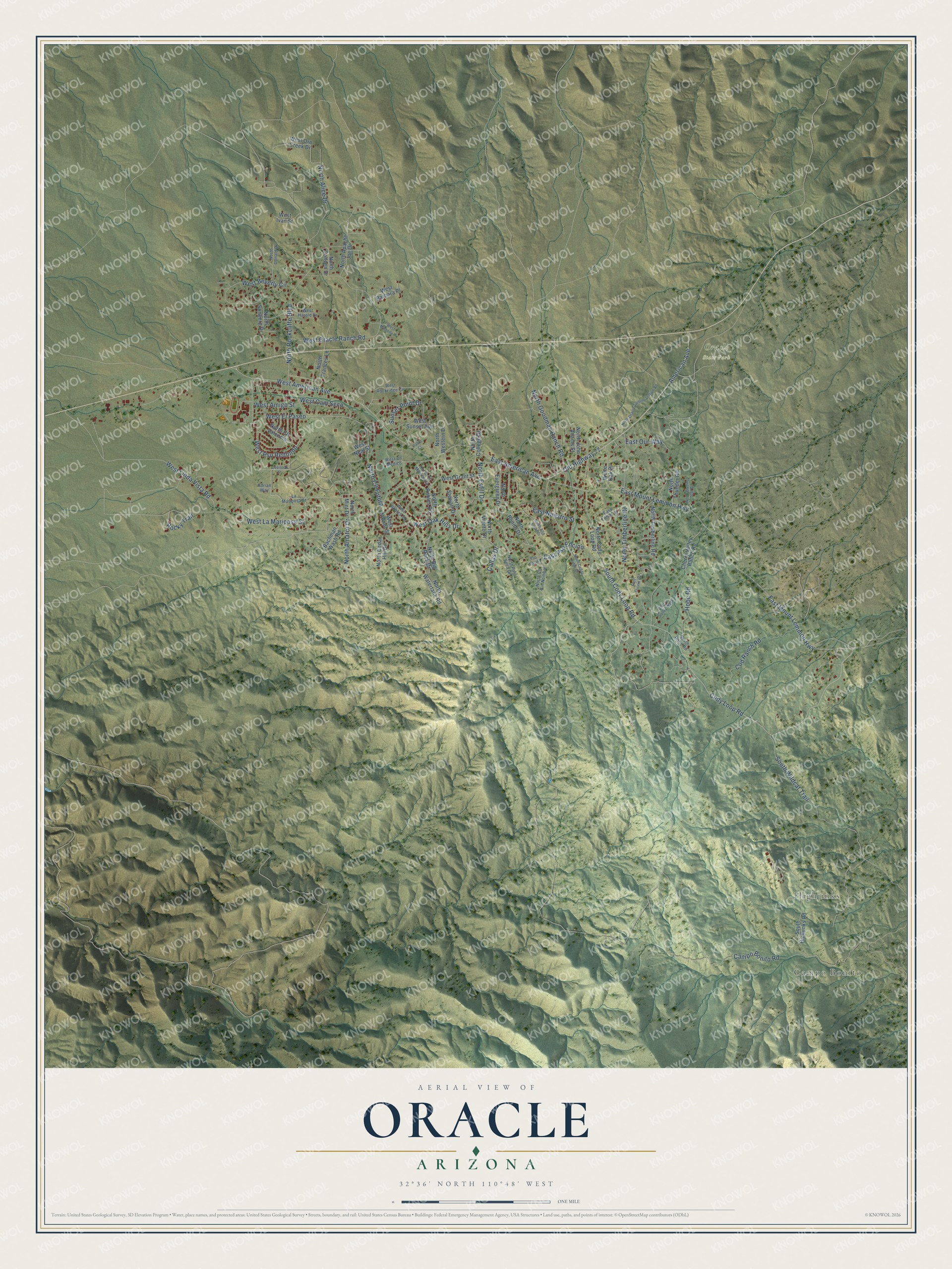
Names on this map
These names are printed on this map.
Places: Campo Bonito, Highjinks and Oracle State Park.
Streets and roads: Cody Loop Road, East Mount Lemmon Highway, South Cody Loop Road, East Pso Encino, North Estill Drive, Old Highway 77, American Avenue, East American Avenue, West American Avenue, West Linda Vista Road, Hobe Road, West La Mariposa Street.
More street names, A to Z
Adrian Way, Bachman Wash Road, Callas Drive, Campo Bonito Road, Cherry Valley Ranch Road, Cherry Valley Wash, Cod Ranch Road, East Durant Road, East Lobos Street, East Nuestro Street, East Our Way, La Mariposa Street, North Alice Drive, North Alto Loma Drive, North Amator Drive, North Apache Joe Drive, North Big Rock Drive, North Blazing Star Drive, North Bonito Drive, North Cedar Hill Drive, North Cedar Ridge Drive, North Cll Futura, North Cll Manzanita, North Cll Sin Nombre, North Cll Valencia, North Cody Loop Road, North Colleen Drive, North College Drive, North Donald Drive, North Evergreen Drive, North Frances Lane, North Goodman Ranch Road, North John Adams Street, North Mint Drive, North Oracle Turbine Station Road, North Palo Seca Drive, North Robles Road, North Rockcliffe Boulevard, North Sonberg Drive, North Stewart Drive, North Thunder Road, North Timberline Drive, North Timberline Road, North Viento Drive, North Watertank Road, North Western Drive, Overlook Street, Pablo Court, Pso Encino, Rocky Trail, South Highjinks Road, South Hobe Road, South Wildcat Trail, Sunset Point Drive, West Amigo Street, West Barbara Place, West Beverly Circle, West Cam Seco, West Cll Medico, West El Paseo, West Grant Street, West Harold Drive, West Ivan Street, West Michelle Place, West Neal Street, West Oak Hills Drive, West Oracle Ranch Road, West Oro Creek Drive, West Pso Redondo, West Robles Street, West Rockridge Circle, West Sunset Avenue, West Walnut Street, White Oak Place.
See it on a wall
The Oracle map as a framed print. Swipe for more.


Created by KNOWOL in 2026. The buildings are small red shapes, the roads carry their printed names, and shaded relief shows the shape of the land. The title panel reads "AERIAL VIEW OF ORACLE, ARIZONA" with 32°36' NORTH 110°48' WEST.
Hang it in the hallway, the office or the cabin, or give it to someone who left Oracle and still calls it home. Open the preview and look for a street you know. See sizes and frames for the Oracle map.