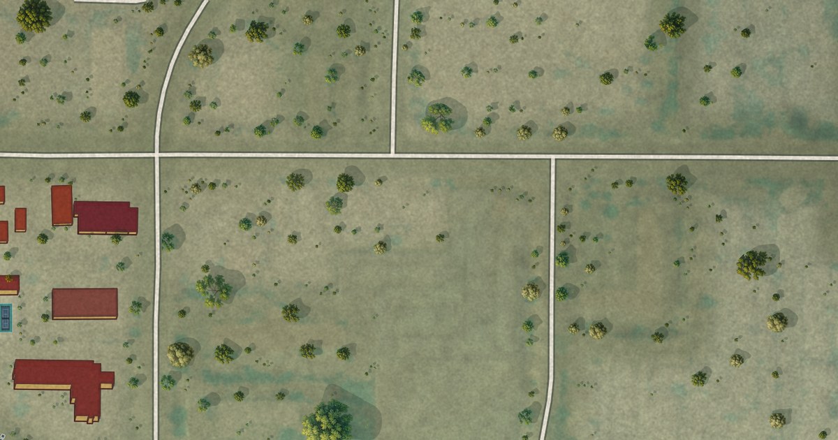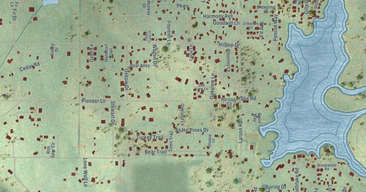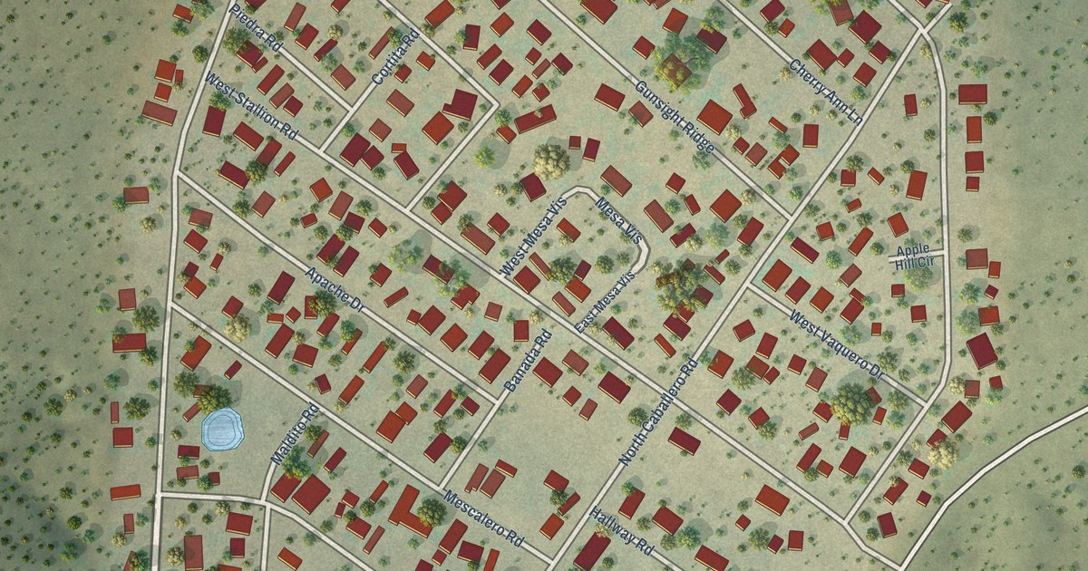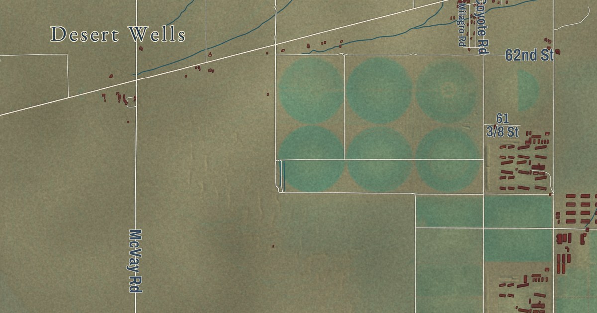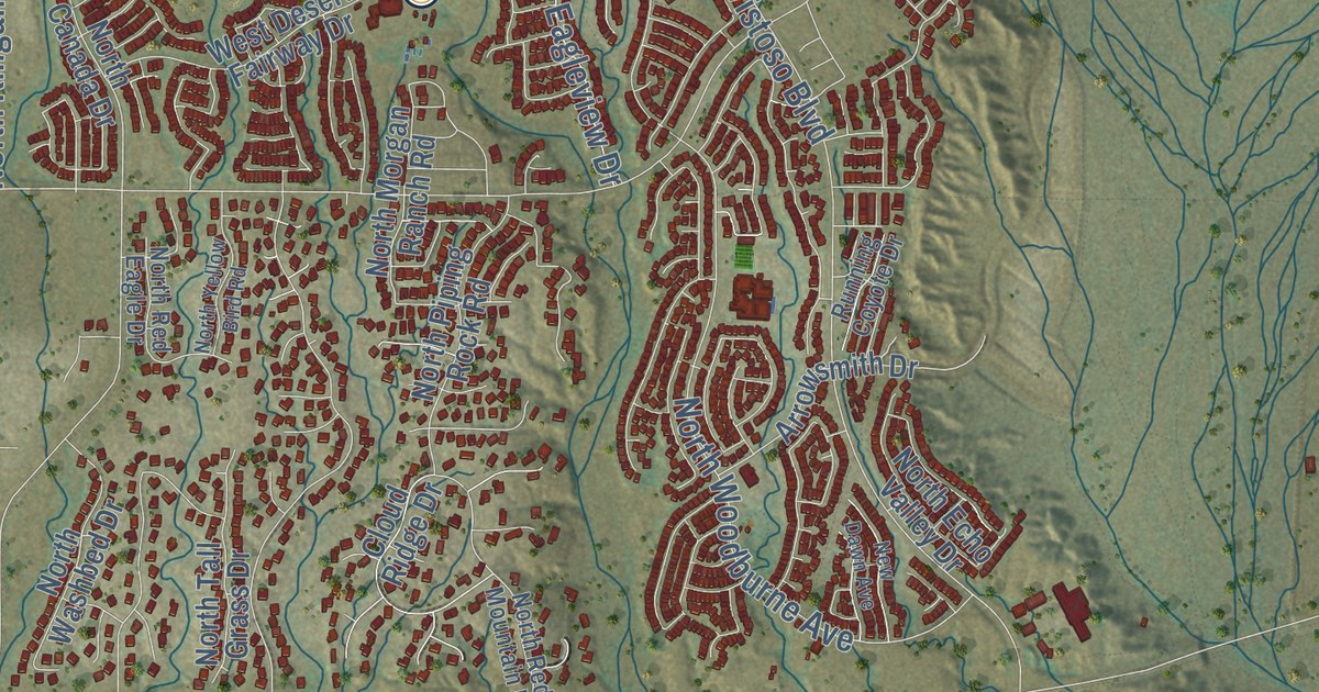
This beautifully detailed map of Oro Valley, Arizona was created in 2026 using aerial imagery combined with modern topographical, census, street and landmark data. It’s a one-of-a-kind view of Oro Valley that combines accurate data with a vintage aesthetic. The map shows every building in its true location, many of the roads carry their names, and the shaded topographic relief shows the shape of the land.
See the Oro Valley, Arizona map on a wall
The Oro Valley map as an 18 x 24 inch print in a black frame.

Explore an aerial view of Oro Valley, Arizona
On the map you’ll find Naranja Park, along with North Oracle Road, North Verch Way, West Magee Road, Magee Road, East Naranja Road, North La Canada Drive, East Rancho Vistoso Boulevard, North La Cholla Boulevard, West Tortolita Mountain Circle, West Naranja Drive, West Tangerine Road, and more. If you look closely you can even find your house accurately drawn in its correct location. Zoom in on the preview to look for yours.
Did you know this piece of Oro Valley, Arizona history?
In 1874, German immigrant George Pusch started a cattle ranch here. A steam pump supplied its water, one of only two in the territory, so it became known as Steam Pump Ranch. Travelers rested there on trips into and out of Tucson. Pusch Ridge is named for him.
Take a closer look at the Oro Valley map
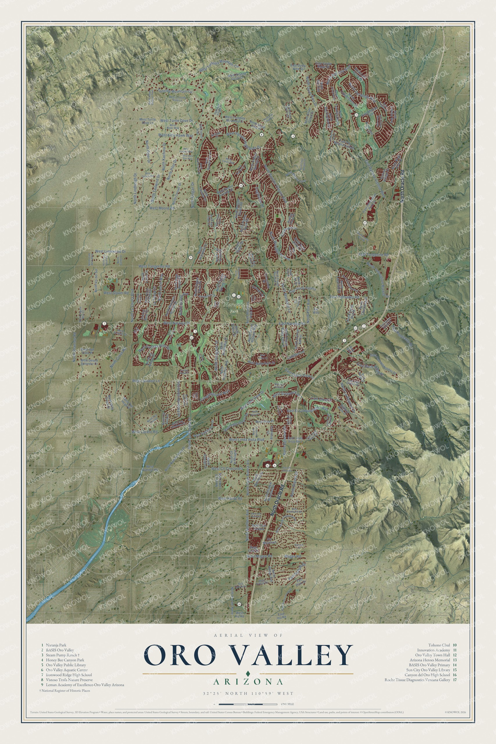
Click to explore a larger preview. The digital watermark does not appear on printed maps.
Street and place names on the Oro Valley, Arizona map
These names are printed on the map of Oro Valley, Arizona.
Places: Naranja Park.
Streets and roads: North Oracle Road, North Verch Way, West Magee Road, Magee Road, East Naranja Road, North La Canada Drive, East Rancho Vistoso Boulevard, North La Cholla Boulevard, West Tortolita Mountain Circle, West Naranja Drive, West Tangerine Road, West Lambert Lane.
More street names, A to Z
Anly Boulevard, Arrowsmith Drive, Bighorn Butte Drive, Buck Ridge Drive, Cactus Rose Drive, Cam Diestro, Cll Almendra, Cloud Ridge Drive, Congressional Way, Crescendo Drive, Eagleview Drive, East Buck Ridge Place, East Cliff Dweller Drive, East Cll Concordia, East Crown Ridge Drive, East Dusty View Drive, East El Conquistador Way, East Eton Drive, East Glenhurst Drive, East Ina Road, East Innovation Park Drive, East Linda Vista Boulevard, East Linda Vista Road, East Mellow Trail, East Palisades Road, East Pla Meseta Dorada, East Ponticello Bl, East Pusch View Lane, East Pushwilderness Drive, East Ruellia Drive, East Stone Stable Drive, East Strada Patania, East Suffolk Drive, East Tangelo Drive, East Tangerine Road, Fairway Wood Court, Flat Iron Drive, Hacienda Hermosa Drive, Hohokam Village Place, Ingot Loop, Ironwood Canyon Place, Kai Way, Lambert Lane, La Tanya Drive, Mulligan Drive, New Dawn Avenue, Nine Iron Drive, North Avenue Vallejo, North Barlassina Drive, North Broadstone Drive, North Buckingham Drive, North Calle Buena Vis, North Cam del Fierro, North Cam del Plata, North Cam Valdeflores, North Canada Drive, North Cape Marigold Drive, North Cassiopeia Drive, North Charoleau Drive, North Choctaw Drive, North Cll el Milagro, North Cll Loma Linda, North Cll Solano, North Colony Drive, North Como Drive, North Copper Creek Drive, North Copper Mountain Drive, North Copper Spring Trail, North Copperstone Drive, North Corsair Drive, North Coyote Blue Court, North Cross Road, North Del Webb Boulevard, North Desert Whisper Way, North Echo Valley Drive, North Egleston Drive, North Engle Hill Drive, North Fawnbrooke Drive, North First Avenue, North Flint Peak Drive, North Flying Bird Drive, North Guava Drive, North Hawk Canyon Trail, North Hidden Springs Drive, North Honey Bee Trail, North Innovation Market Drive, North Joi Drive, North Kachina Drive, North Kingair Drive, North Korte Lane, North Labyrinth Drive, North La Quinta Drive, North La Reserve Drive, North Lindbergh Drive, North Lobelia Way, North Lost Arrow Drive, North Luzon Court, North Mandarin Lane, North Maspalomas Drive, North Monterra Vista Drive, North Moore Loop, North Morgan Ranch Road, North Mountain Breeze Drive, North Musette Drive, North Northern Avenue, North Overlook Drive, North Pilot Drive, North Piper Drive, North Piping Rock Road, North Pistachio Avenue, North Poinsettia Drive, North Pso Corona, North Pso del Norte, North Pusch Ridge View Place, North Quiet Rain Drive, North Raleigh Drive, North Rancho Catalina Avenue, North Rancho Feliz Drive, North Rancho Vistoso Boulevard, North Red Eagle Drive, North Red Mountain Drive, North Regulation Drive, North Ridge Shadow Place, North Riviera Drive, North Sage Brook Road, North Scioto Avenue, North Shadow Mountain Drive, North Shannon Road, North Silver Cloud Drive, North Sky Trail, North Stargazer Drive, North Stone Gate Place, North Sun City Boulevard, North Tailwind Drive, North Tall Grass Drive, North Tami Place, North Trade Winds Way, North Via de la Verbenita, North Village Avenue, North Vis del Sol, North Vistoso Park Road, North Washbed Drive, North Westward Look Drive, North Wide View Drive, North Wild Creek Drive, North Woodburne Avenue, North Yellow Bird Road, Old Forest Trail, Par Drive, Pla Meseta de Oro, Quandry Drive, Rimrock Place, Rocky Slope Place, Running Coyote Drive, Smokethorn Drive, Tortolita Mountain Circle, Valle del Oro Road, Vis Mountain, Vistoso Village Drive, West Aero Star Way, West Andes Street, West Atua Place, West Cam Cortaro, West Cam Fairhaven, West Canada Hills Drive, West Cessna Way, West Chapala Drive, West Cll Concordia, West Cool Drive, West Corax Way, West Desert Fairway Drive, West Desert Splendor Court, West Earhart Way, West Glover Road, West Golf View Drive, West Granite Gorge Drive, West Greenock Drive, West Hardy Road, West Ina Road, West Kitty Hawk Way, West Limewood Drive, West Linda Vista Boulevard, West Lucero Road, West Matterhorn Street, West Moore Road, West Niner Way, West Oak Shadows Drive, West Oro Valley Drive, West Overton Road, West Owl Head Place, West Owl Vista Place, West Saddlehorn Drive, West Sculptor Street, West Suffolk Drive, West Tortolita Mountain Ci, West Tortolita Vista Lane, West Turtle Dove Drive, West Turtle Dove Lane, West Valle del Oro Road, West Valoro Drive, West Vistoso Highlands Drive.
This beautifully detailed map of Oro Valley makes an attractive addition to your office, library, or den, and it can even be used to teach children the geography and history of the area. It also makes a great gift for someone who left Oro Valley and still calls it home. When you’re done exploring, click here to get your copy of the Oro Valley map.