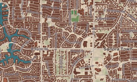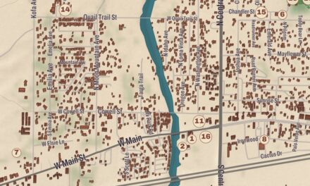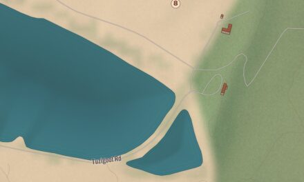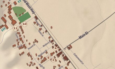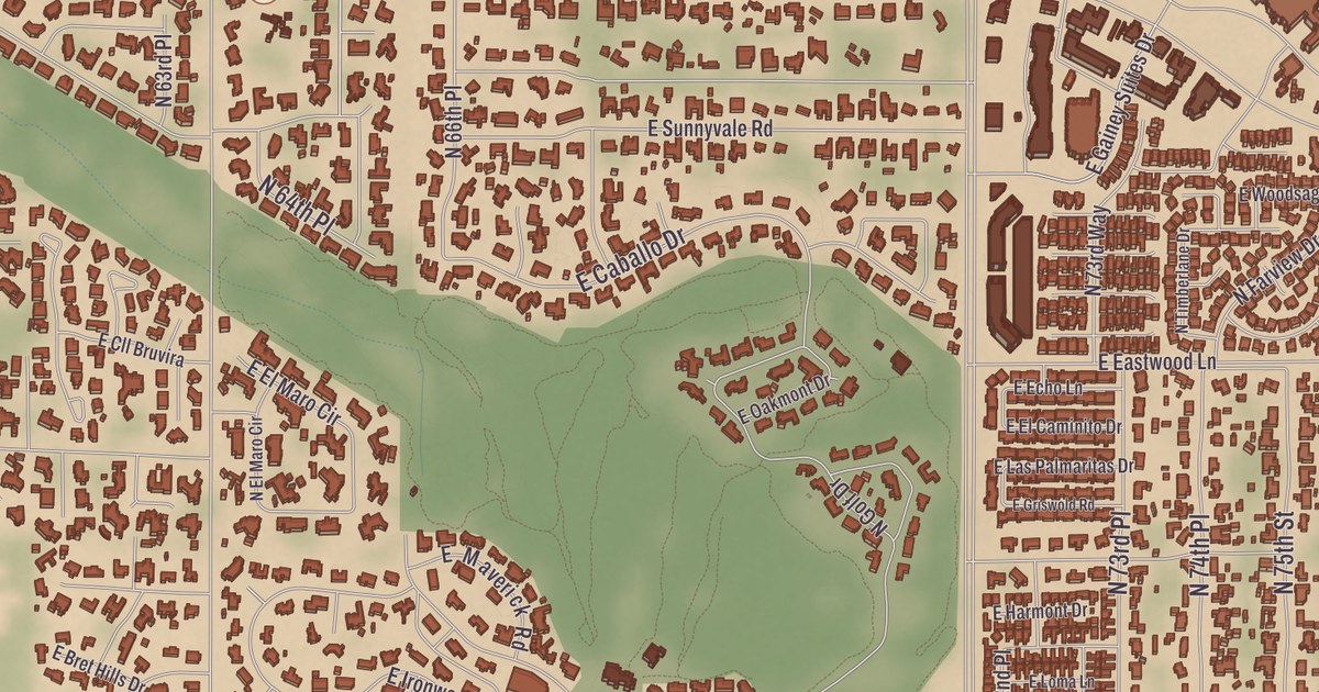
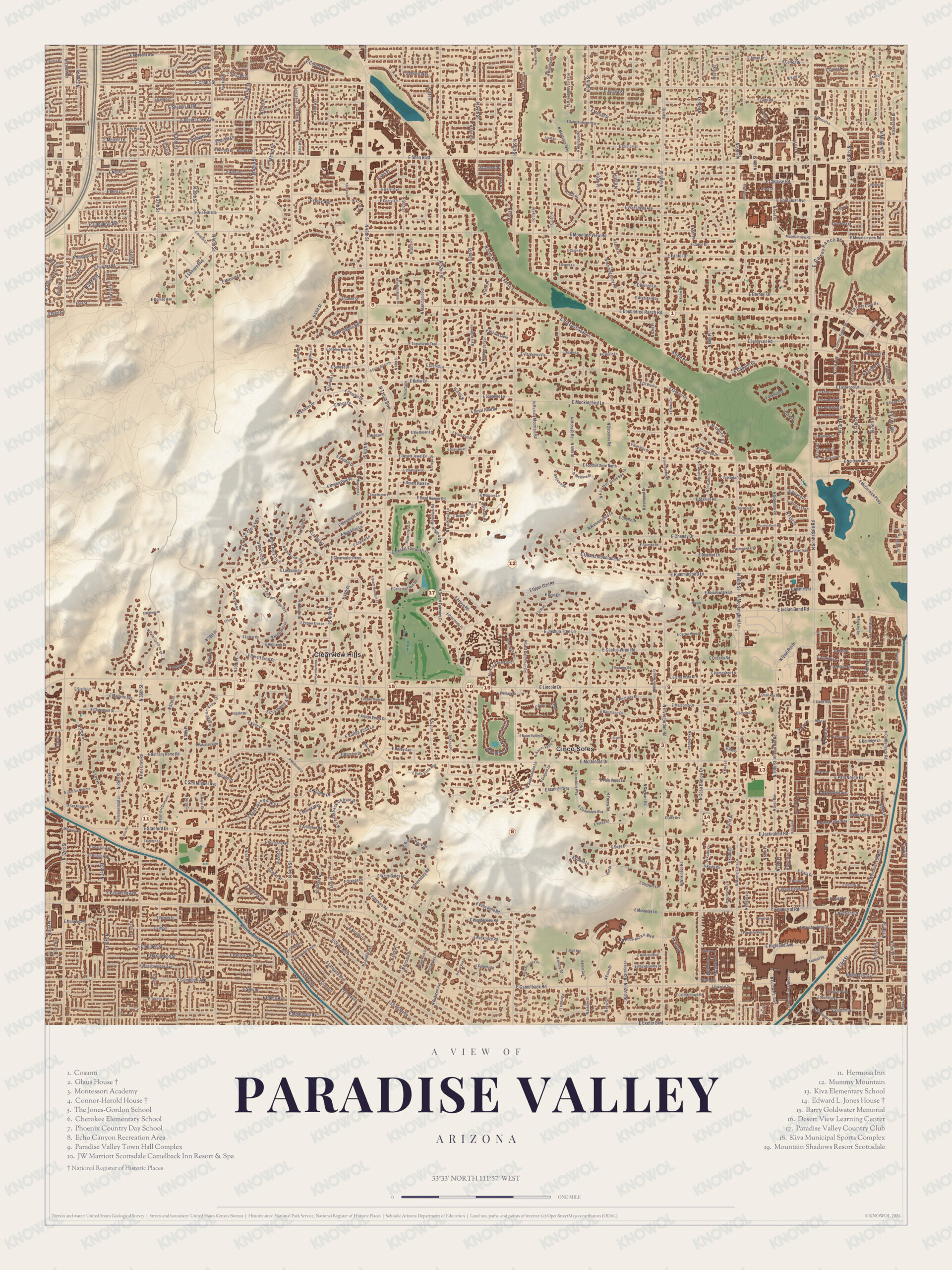
A miner who bought most of a mountain here in the 1940s looked at its profile, saw an Egyptian mummy lying down, and sold the lots under that name. This map of Paradise Valley prints the Edward L. Jones House, the Connor-Harold House, the Glaus House, Desert View Learning Center, Montessori Academy and The Jones-Gordon School, with Dixie Peak, Mummy Mountain and Echo Canyon giving shape to the land.
Paradise Valley is a town in Maricopa County, a suburb of Phoenix close to Scottsdale.
KNOWOL made this map in 2026 and gave it the look of an old atlas. The shaded relief of Dixie Peak, Mummy Mountain and Echo Canyon comes from United States Geological Survey elevation data, and the streets were drawn from Census Bureau files. Historic sites such as the Edward L. Jones House, the Connor-Harold House and the Glaus House were confirmed against the National Park Service and the National Register of Historic Places. The town covers 15.4 square miles, and 12,658 people lived here at the 2020 census.
How the valley got its name
People have lived on this land since before Columbus, when farming societies worked it, and later settlers grazed cattle here. In the 1880s the Rio Verde Canal Company and its manager, Frank Conkey, surveyed the land into farm lots, and those surveyors were the first to use the name Paradise Valley. The town’s page says the name may have come from the valley’s spring wildflowers and palo verde trees. The name belongs to a much larger area, reaching from north of the Phoenix Mountains to Cave Creek and Carefree and east to the McDowell Mountains, and Paradise Valley Village, the Paradise Valley Mall and Paradise Valley High School are all in Phoenix, several miles north of the town.
The area stayed mostly agricultural into the first half of the 1900s, and after World War II people began settling here on the large lots of one to five acres the town became known for. As Phoenix and Scottsdale grew and annexed land around them, residents worried about what would be lost if one of those larger neighbors absorbed them, and they formed the Citizens Committee for the Incorporation of The Town of Paradise Valley. Their petition gathered enough signatures, and the Maricopa County Board of Supervisors granted it: the town was incorporated on May 24, 1961. Since 2012 residents have elected their mayor directly. The Edward L. Jones House, at 5555 North Casa Blanca Drive, dates from 1932; it’s a two-story adobe house with an adobe pump house and barn on 2 acres, in the Pueblo and Monterrey adobe revival styles, with colored stucco walls, a multicolor tile roof and exposed viga beams, and it was listed on the National Register in 1996.
Click to explore a larger preview. The digital watermark does not appear on printed maps.
Names on this map
These names are printed on this map.
Streets and roads: E Caron Cir, E Doubletree Ranch Rd, E Butler Dr, E Mockingbird Ln, E Gold Dust Ave, Bach Rd, E Berneil Dr, E Sunnyvale Rd, E Shadow Rock Rd, E Lamar Rd, Desert Crest Dr, E Stella Ln.
More street names, A to Z
Berridge Ln, Bethany Home Rd, Bluebird Ln, Desert Jewel Dr, E Berridge Ln, E Cactus Wren Rd, E Camelback Rd, E Cheney Dr, E Claremont St, E Glen Dr, E Indian Bend Rd, E Lincoln Dr, E Malcomb Dr, E McDonald Dr, E Mesquite Ln, E Moonlight Way, E San Miguel Ave, E Stanford Dr, E Via Buena Vis, Joshua Tree Ln, Kingbird Ln, Kino Rd, Len Rd, Mohave Rd, N Coconino Rd, Northern Ave, Saguaro Rd, Starlight Way.
Two mountains
Mummy Mountain fills the middle of town. It was once called Windy Gulch and Horseshoe Mountain, until miner and businessman Charles Mieg bought most of it for $12,000 in the 1940s and marketed the land as Mummy Mountain. Its slopes are mostly homes, and the Camelback Inn has stood on the southern slope since 1936. It’s the only part of the Phoenix Mountains outside the Phoenix Mountain Preserve, and the Mummy Mountain Preserve Trust, set up in 1997 to protect about 320 acres along the ridge, held 218 acres by August 1999 through private donations and a transfer of county land, with Marshall Trimble, Joe Garagiola, Clive Cussler and Bil Keane backing the campaign.
Camelback Mountain, named for its shape like the hump and head of a kneeling camel, rises on the town’s southern border, and at 2,704 feet it’s the highest point in the Phoenix area. Its trails and facilities make up the Echo Canyon Recreation Area, run by the City of Phoenix, and the Echo Canyon Trail climbs 1,280 feet to the summit in 1.14 miles. In 1965 Senator Barry Goldwater took up the cause of saving the mountain and helped protect its higher elevations from development; it became a Phoenix city park in 1968, and Barry Goldwater Memorial Park is in the town. Most children here go to the Scottsdale Unified School District. Desert View Learning Center, Montessori Academy, The Jones-Gordon School, the Connor-Harold House, the Glaus House and Dixie Peak are printed as well.
This map of Paradise Valley is a good addition to an office, library or den, and it can help teach children the geography and history of the area. It’s made for anyone who calls Paradise Valley home, from Mummy Mountain to Echo Canyon, and KNOWOL created it in 2026 to show the town as it looks today. Zoom in on the preview above to explore the details, then click here to get your copy of the Paradise Valley map.

Sources