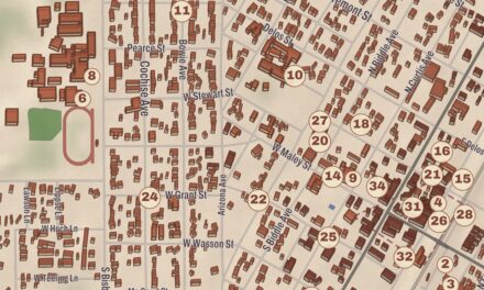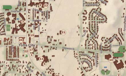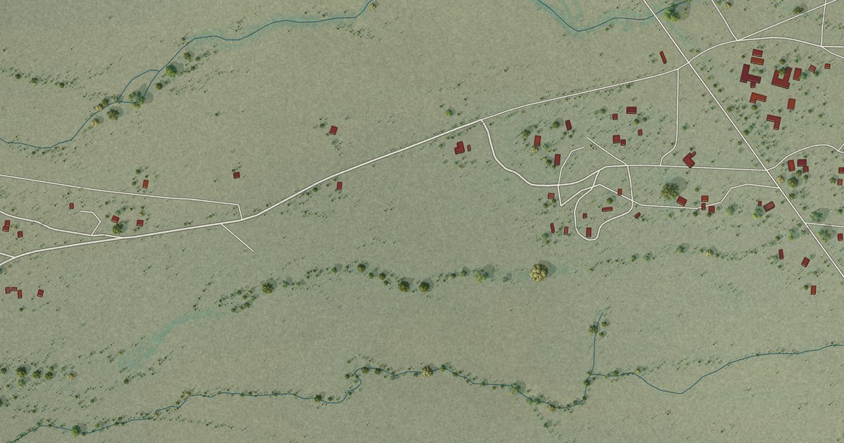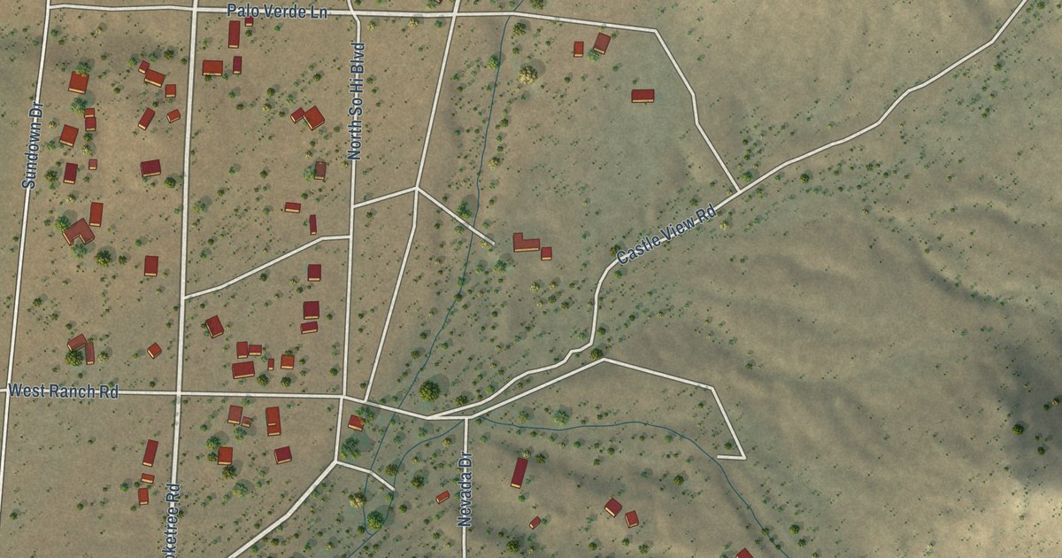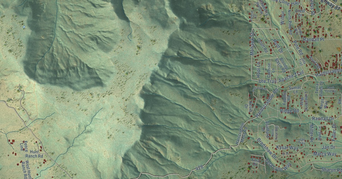
This beautifully detailed map of Pine, Arizona was created in 2026 using aerial imagery combined with modern topographical, census, street and landmark data. It’s a one-of-a-kind view of Pine that combines accurate data with a vintage aesthetic. The map shows every building in its true location, many of the roads carry their names, and the shaded topographic relief shows the shape of the land.
Explore an aerial view of Pine, Arizona
On the map you’ll find Fs 428A, Fr-428A, West Fr-428A, and Nf-428, along with Hardscrabble Road, Old County Road, Whispering Pine Road, South Street, Walnut Drive, Apache Trail, Trail End Drive, Pine Cone Trail, and more. Pine sits about 3 miles east of Strawberry, 6 miles west of Geronimo Estates and 8 miles northwest of East Verde Estates. If you look closely you can even find your house accurately drawn in its correct location. Zoom in on the preview to look for yours.
Take a closer look at the Pine map
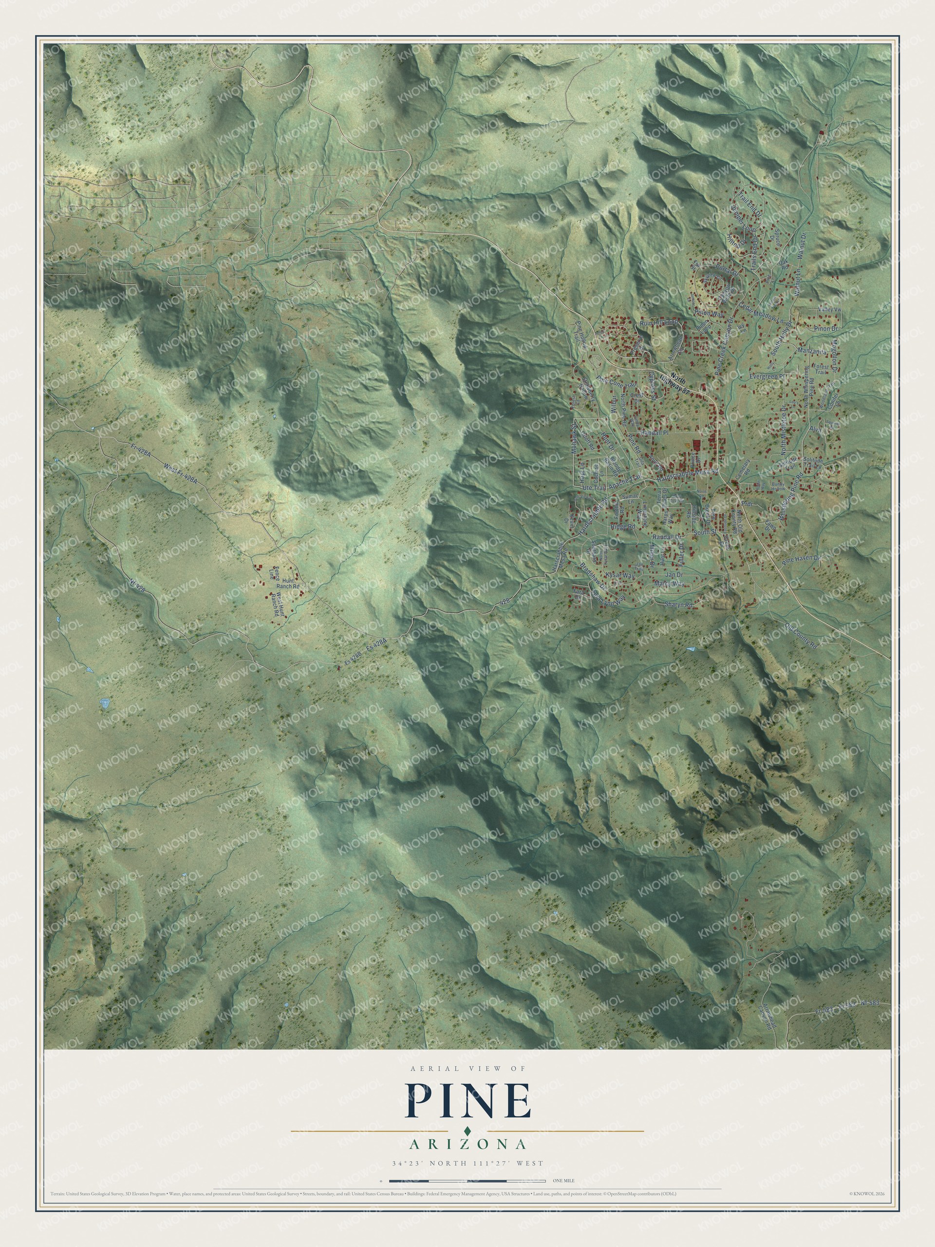
Names on this map
These names are printed on this map.
Streets and roads: Hardscrabble Road, Old County Road, Whispering Pine Road, South Street, Walnut Drive, Apache Trail, Trail End Drive, Pine Cone Trail, Nf-428, Mohawk Street, North Mistletoe Drive, Trails End Drive.
More street names, A to Z
Alva, Anvil Road, Arrowhead Canyon Road, Arrowhead Circle, Aztec Lane, Bloody Basin Road, Bradshaw Drive, Bunny Hollow, Canyon Vista Drive, Cedar Meadow Lane, Cemetary Road, Cindy Way, Cochise Lane, Conifer Lane, Creek Drive, Crest Drive, Cypress Street, Eastside Drive, Evergreen Place, Fara Drive, Fawn Drive, Fence Line, Foothill Road, Forest Court, Forest Trail, Fr-583, Fr 583, Fuller Drive, Gila Trail, Hardscrabble Mesa Road, Harps Way, Harscrabble Mesa Road, Hillside Road, Hilltop Drive, Holly Lane, Hopi Lane, Hunt Drive, Hunt Lane, Hunt Ranch Road, Ivy Lane, Jan Drive, Jan Trail, Juniper Lane, Juniper Loop, Kevin Drive, Kysar Way, Limestone Way, Lou's Lane, Manzanita, Marcy Way, Miller Drive, Mogollon Drive, Nf-583, North Highway 87, North Kysar Way, North Old County Road, North Pine Road, North Road, North Whispering Pine Road, Oak Road, Orloff Road, Pine Creek Canyon Drive, Pine Creek Drive, Pine Haven Drive, Pine Hollow Trail, Pine Lane, Pine Road, Pine View Drive, Pinon Drive, Pinon Loop, Pinon Way, Portal Drive, Prdr, Pr Drive, Preserve Drive, Prince Drive, Quail Cove Road, Randall Drive, Randall Place, Ridge Road, Robin Way, Ruin Hill Loop, Sharyn Road, Skyview Circle, Solitude Trail, Solitude Trail Lp, Southard Drive, South Holly Drive, Spruce Drive, Squirrel Road, Strawberry Hollow, Sumac Lane, Tera Lynn Way, Terra Pines Drive, Tor Street, Ute Trail, Valley Vw, Walnut Lane, West Hunt Ranch Road, Wilbur, Willow Tree Lane, Woodland Trail.
See it on a wall
The Pine map as a framed print. Swipe for more.


This beautifully detailed map of Pine makes an attractive addition to your office, library, or den, and it can even be used to teach children the geography and history of the area. It also makes a great gift for anyone who grew up in Pine or moved away. When you’re done exploring, click here to get your copy of the Pine map.