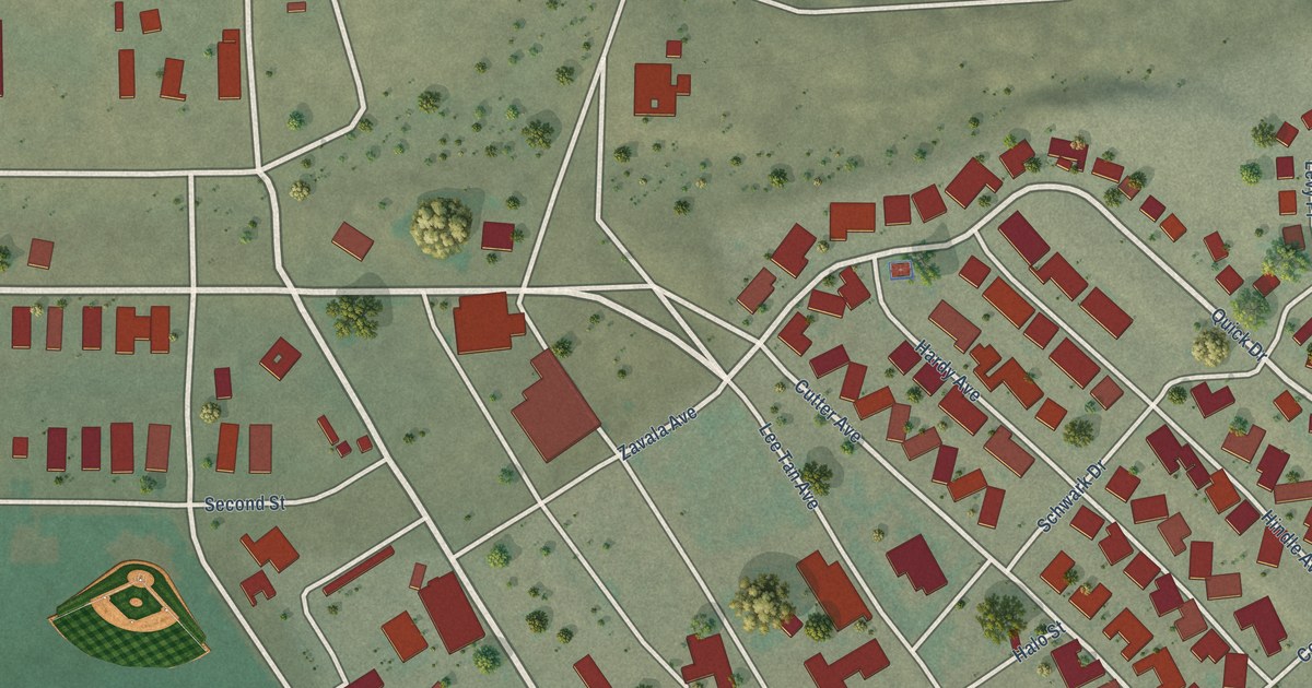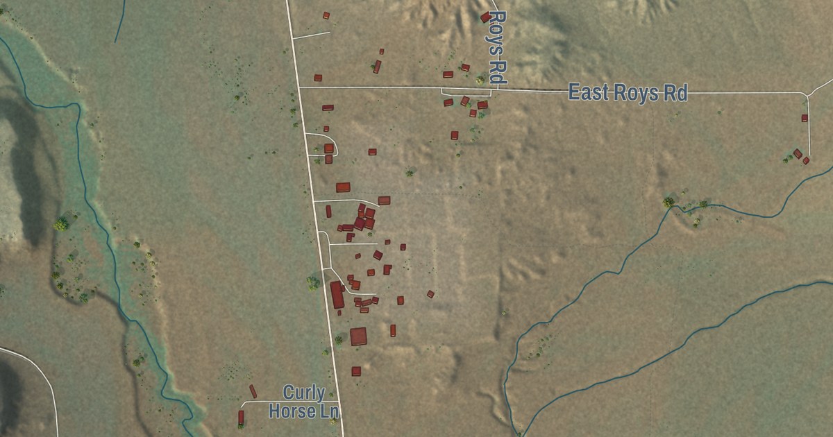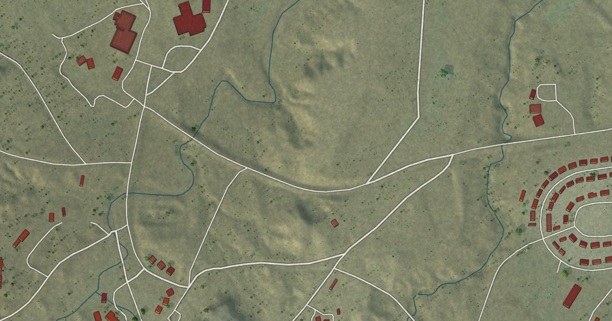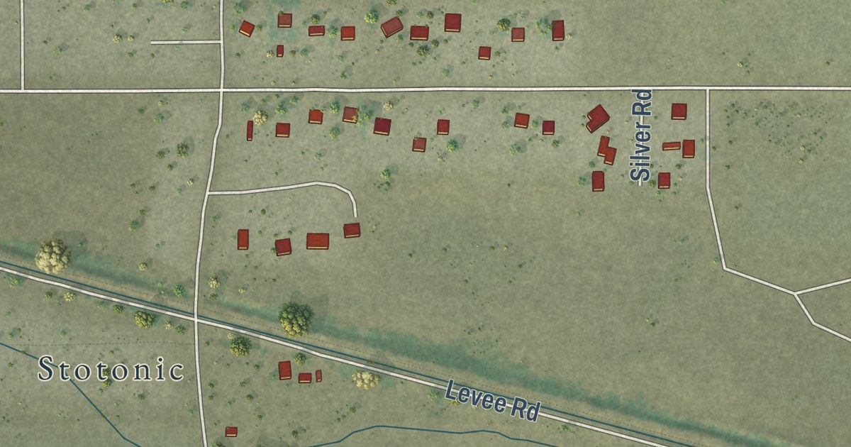
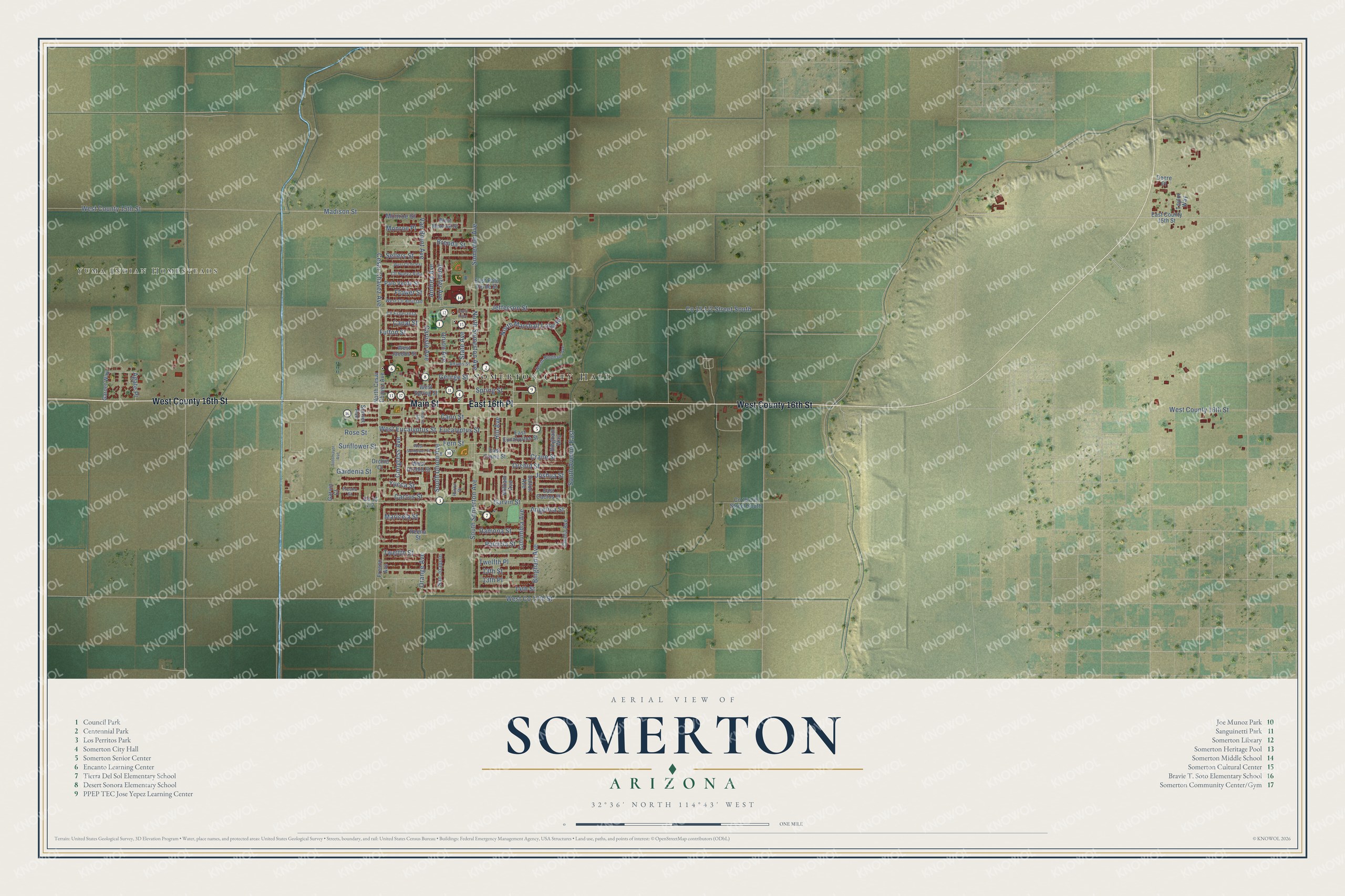
This beautifully detailed map of Somerton, Arizona was created in 2026 using aerial imagery combined with modern topographical, census, street and landmark data. It’s a one-of-a-kind view of Somerton that combines accurate data with a vintage aesthetic. The map shows every building in its true location, many of the roads carry their names, and the shaded topographic relief shows the shape of the land.
See the Somerton, Arizona map on a wall
The Somerton map as an 18 x 24 inch print in a black frame.

Explore an aerial view of Somerton, Arizona
On the map you’ll find Somerton City Hall, Yuma Indian Homesteads, and East 16th Place, along with Main Street, West County 16th Street, Yucca Street, Cactus Street, Orange Avenue, Joshua Street, Gardenia Street, Carlisle Avenue, Rose Street, and more. If you look closely you can even find your house accurately drawn in its correct location. Zoom in on the preview to look for yours.
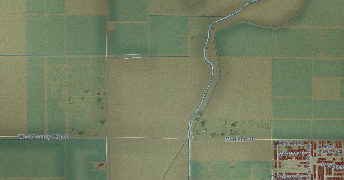
Take a closer look at the Somerton map
Click to explore a larger preview. The digital watermark does not appear on printed maps.
Street and place names on the Somerton, Arizona map
These names are printed on the map of Somerton, Arizona.
Places: Somerton City Hall and Yuma Indian Homesteads.
Streets and roads: Main Street, West County 16th Street, East 16th Place, Yucca Street, Cactus Street, Orange Avenue, Joshua Street, Gardenia Street, Carlisle Avenue, Rose Street, Columbia Avenue, Angelica Street.
More street names, A to Z
13th Place, 13th Street, 14th Street, Adams Street, Agate Place, Andrea Avenue, Bingham Avenue, Bingham Way, Brenda Street, Canal Alley, Canal Street, Cano Street, Cesar Chavez Avenue, Cholla Avenue, Cll Esperanza, Cll Nueva Vida, Congress Avenue, Crane Street, Dalton Avenue, Deere Place, East Cactus Street, East County 15th Street, East Crane Street, East Eucalyptus Street, East Palo Verde Street, Eucalyptus Street, Federal Avenue, Fern Street, Flower Street, Fresno Avenue, Fresno Street, Fulton Street, Garnet Way, Garvin Court, Garvin Street, George Street, Hill Avenue, Huron Drive, Jefferson Street, Jennifer Avenue, Madison Street, Maricela Street, Monroe Place, Monroe Street, North Bingham Avenue, North Cesar Chavez Avenue, North Marshall Loop Road, North Somerton Avenue, Orchid Court, Orchid Street, Palo Verde Street, Patricia Street, Ramona Street, Reena Street, San Joaquin, Sellers Street, Somerton Avenue, Sotomayor Avenue, South Avenue East, South Somerton Avenue, South Union Avenue, Spring Street, State Avenue, Sunflower Street, Sunset Avenue, Taylor Way, Twelfth Place, Twelfth Street, Union Avenue, Van Brunt Avenue, West Cll Amistad, West Cll de Paz, West Co 17th Street, West County 15th Street, West Eucalyptus Street, West Jacobs Street, West Monroe Street, West Orchid Street, West Spring Street, West Sunflower Street, William Avenue.
This beautifully detailed map of Somerton makes an attractive addition to your office, library, or den, and it can even be used to teach children the geography and history of the area. It also makes a great gift for someone who left Somerton and still calls it home. When you’re done exploring, click here to get your copy of the Somerton map.