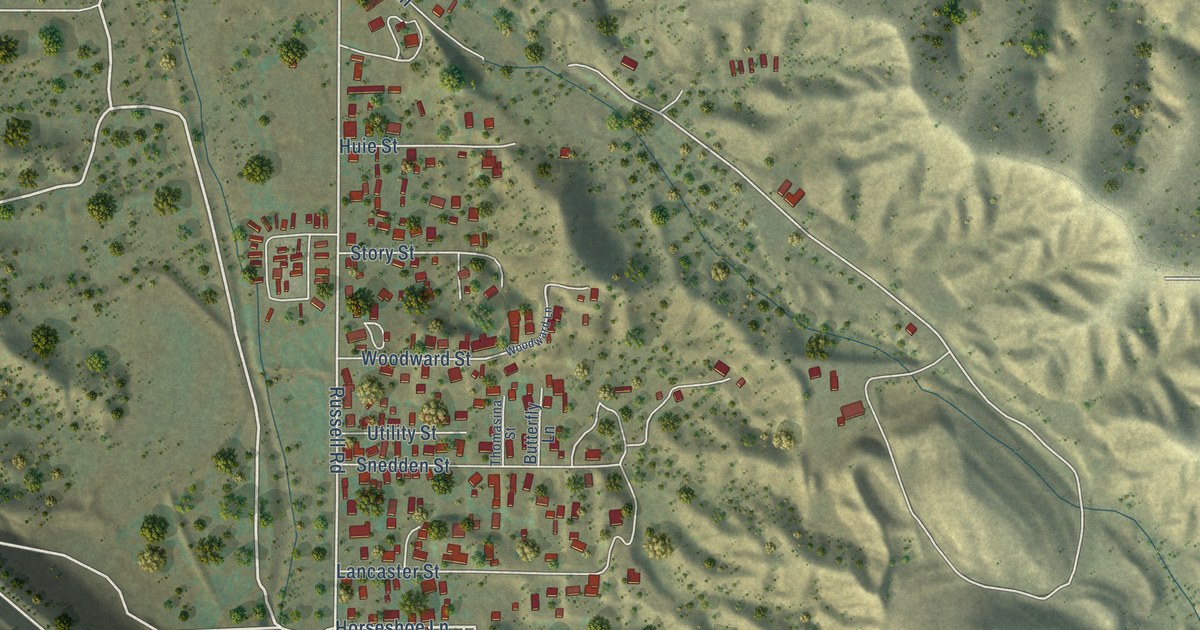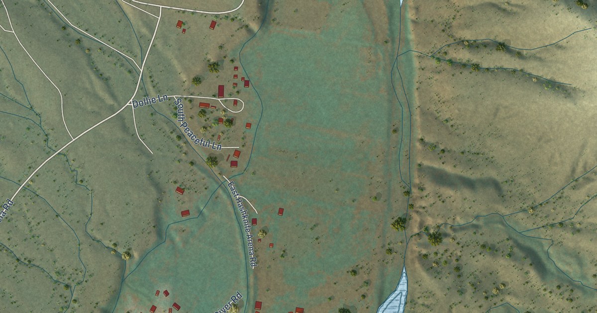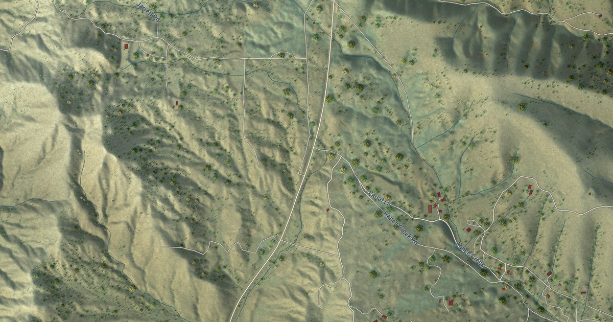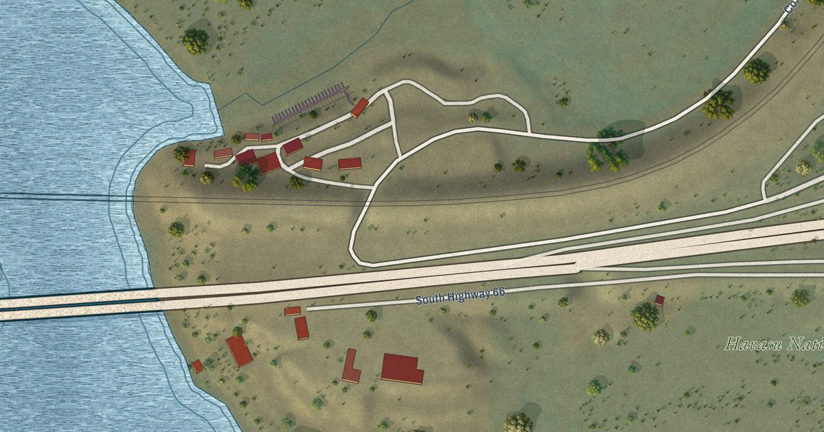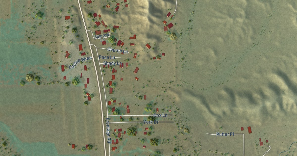
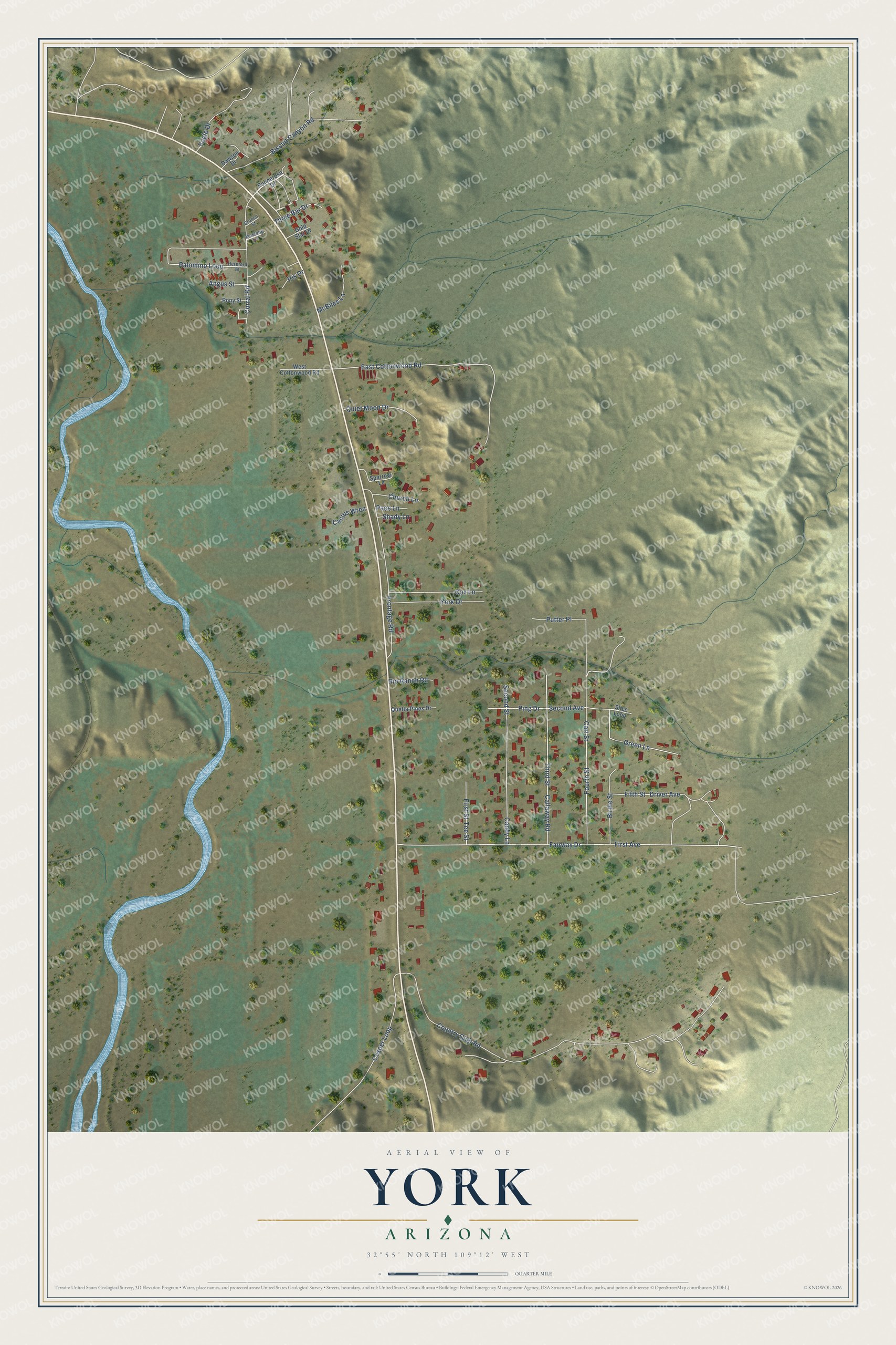
This beautifully detailed map of York, Arizona was created in 2026 using aerial imagery combined with modern topographical, census, street and landmark data. It's a modern aerial view of York in Greenlee County, Arizona, that combines modern data with a vintage aesthetic. The roads feature printed names, and if you look closely you can find your exact house accurately shown in its correct location.
Explore an aerial view of York, Arizona
On this map you'll find Cart Street, Fairway Drive, East Cottonwood Road, Country Club Road, First Avenue, Second Avenue, Fourth Street, Frontage Road, Callaway Road, Third Street, Caddy Lane, Second Street, and more. Each red shape is a building, so zoom in on the preview and look for yours.
York is a community in Greenlee County. The Census Bureau counted 599 people here in 2020. York sits about 9 miles southeast of Clifton, 13 miles southeast of Morenci and 13 miles northwest of Duncan. The map prints the town name in its title panel, with the coordinates below it.
Take a closer look at the York map
Names on this map
These names are printed on this map.
Streets and roads: Cart Street, Fairway Drive, East Cottonwood Road, Country Club Road, First Avenue, Second Avenue, Fourth Street, Frontage Road, Callaway Road, Third Street, Caddy Lane, Second Street.
More street names, A to Z
Angus Street, Birdie Street, Biscuit Canyon Road, Bronco Street, Cactus Wren, Church Lane, Corral Road, Cosper Loop, Cox Lane, Dawson Drive, Driver Avenue, Eagle Drive, Fifth Street, First Street, Gold Star Drive, Green Lane, Hereford Street, Iris Drive, McBiles Lane, Mustang Lane, Pace Lane, Palomino Loop, Ping Drive, Ponderosa Drive, Pony Street, Putter Place, Quetta Pines Drive, Quiet Moon Drive, Rio Ranch Road, Shady Lane, Slice Loop, Sparrow Lane, Tee Street, Three Bar Drive, West Cottonwood Road, York Drive.
See it on a wall
The York map as a framed print. Swipe for more.


Created by KNOWOL in 2026. The buildings are small red shapes, the roads carry their printed names, and shaded relief shows the shape of the land. The title panel reads "AERIAL VIEW OF YORK, ARIZONA" with 32°55' NORTH 109°12' WEST.
It looks right in a kitchen, an office or a den, and it's a gift for anyone who grew up in York or moved away. Open the preview and find your street. See sizes and frames for the York map.