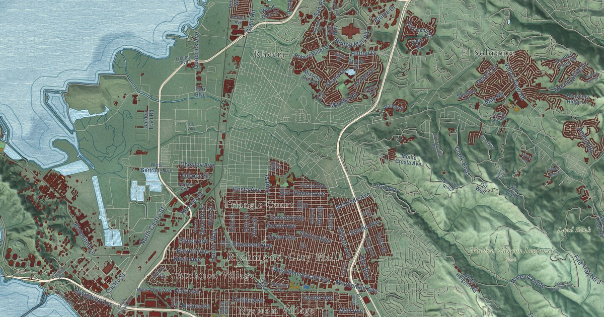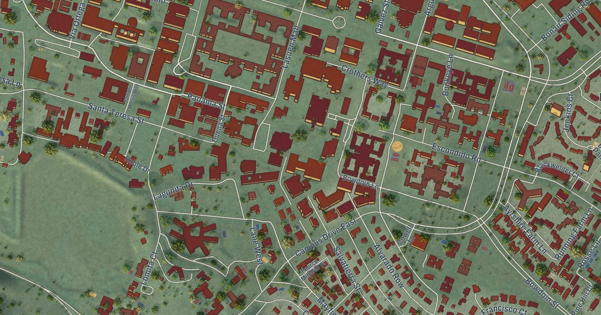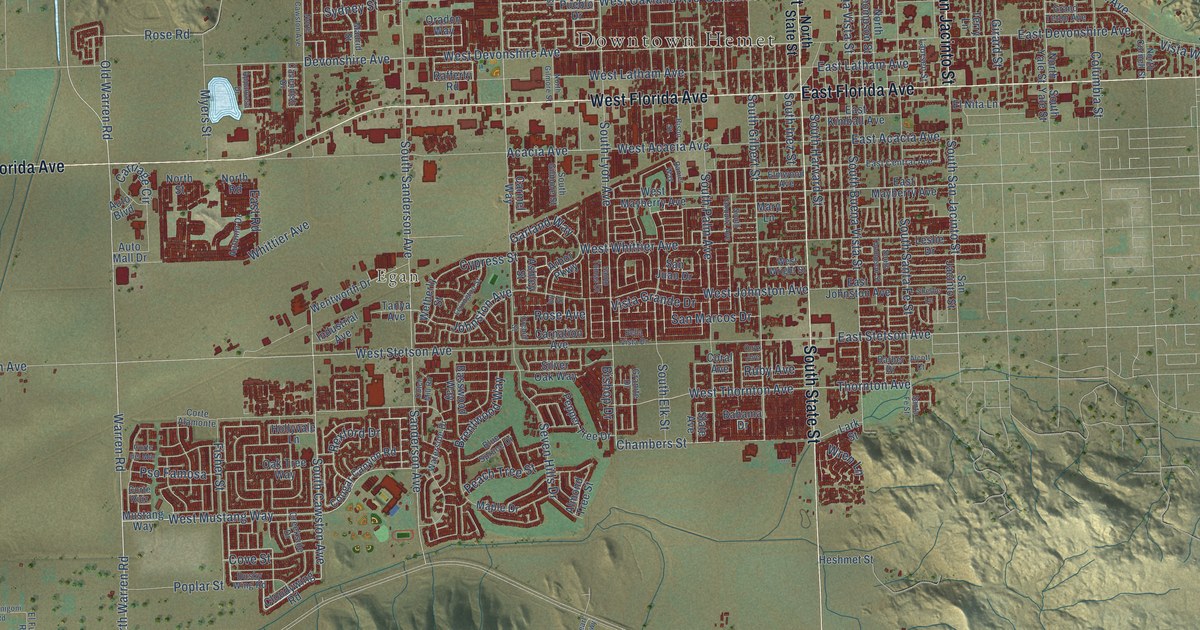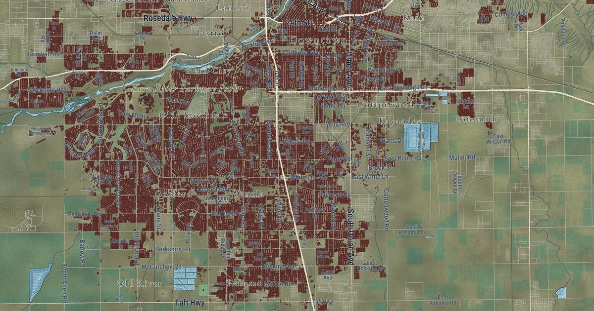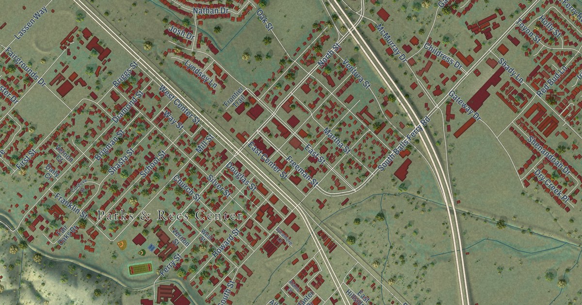
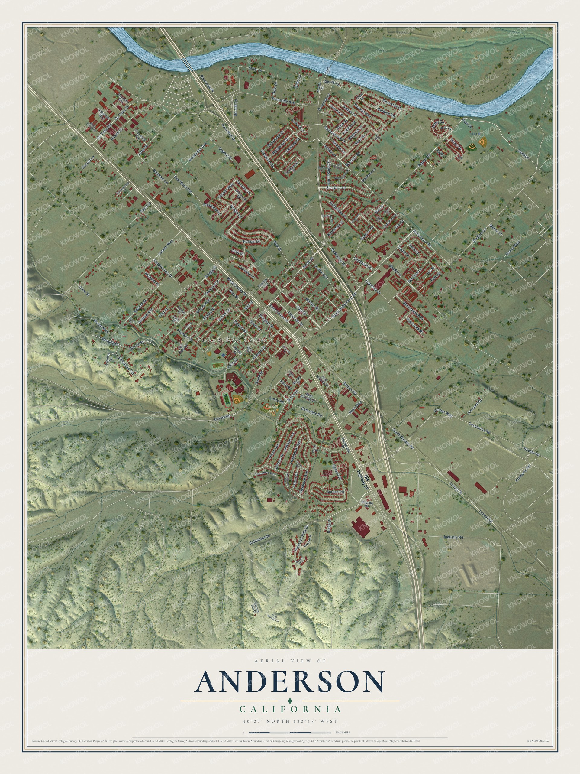
This beautifully detailed map of Anderson, California was created in 2026 using aerial imagery combined with modern topographical, census, street and landmark data. It's a modern aerial view of Anderson in Shasta County, California, that combines modern data with a vintage aesthetic. The roads feature printed names, and if you look closely you can find your exact house accurately shown in its correct location.
Explore an aerial view of Anderson, California
On this map you'll find Parks & Recs Center, Volonte Park, South Balls Ferry Road, Dodson, Pleasant Hills Drive, Stingy Lane, Rupert Road, North Street, Freeman Street, Hazel Drive, East Street, Geyser Way, and more. Each red shape is a building, so zoom in on the preview and look for yours.
Every town has a first chapter, and Anderson is no exception. The Historical Marker Database puts it this way: "The first motorized fire equipment purchased for the station was a 1924 Dodge chemical truck, which was sold for scrap for the war effort in 1943."
Anderson is a city in Shasta County. The Census Bureau counted 11,323 people here in 2020.
Take a closer look at the Anderson map
Names on this map
These names are printed on this map.
Places: Parks & Recs Center, Volonte Park and Park.
Streets and roads: South Balls Ferry Road, Dodson, Pleasant Hills Drive, Stingy Lane, Rupert Road, North Street, Freeman Street, Hazel Drive, East Street, Geyser Way, La Colina Terrace, Deschutes Road.
More street names, A to Z
Airport Road, Alamo Drive, Albert Road, Alexander Avenue, Andrew Avenue, Aspen Drive, Aster Street, Auto Mall Drive, Ballentine Drive, Balls Ferry Road, Balsam Avenue, Bardick Road, Barkwood Drive, Barney Road, Bay Street, Beacon Drive, Bearwood Place, Begonia Street, Bellerock Drive, Bellevue Lane, Breckenridge Lane, Briggs Street, Brigman Street, Bruce Drive, Camellia Street, Casual Lane, Cazadero Drive, Cemetery Road, Childress Drive, Church Street, Cindy Circle, Claude Lane, Colt Drive, Cordova Street, Corner Way, Crest Drive, Culwood Lane, Daily Court, Daisy Street, Davey Way, Diamond Street, Dimond Street, Dodson Lane, Domaine Place, Donald Lane, Douglas Street, Downing Lane, Driftstone Drive, Dry Creek Place, Dupont Street, East Bailey Drive, East Center Street, East Hillside Drive, East Saint Pvt, Ebby Lane, Emily Road, Fairgrounds Drive, Fair Oaks Drive, Fern Street, Ferry Street, First Street, Franklin Street, Frontier Trail, Gadenia Street, Ganyon Drive, Gateway Drive, Hawes Road, Hemlock Avenue, Hirsch Court, Holly Street, Howard Street, Ice Land Drive, Industrial Way, Industry Road, Inkwood Drive, Iris Street, Jeffries Avenue, Jeffries Street, Josh Drive, Joyce Drive, Julie Lane, Kimberly Road, Knight Lane, Knobcone Avenue, Lacolina Terrace, Larch Street, Lassen Way, Locust Road, Locust Street, Lodgepole Avenue, Loop Street, Loren Court, Lyndsey Lane, Manter Drive, Marmac Road, Martha Street, Marx Way, Mateo Court, McMurray Drive, Mill Street, Morgan Hill Court, Nathan Drive, North Bailey Drive, North Hirsch Court, Northway Street, Oak Street, Odle Drive, Old Highway 99, Olinda Road, Olive Street, Ox Yoke Road, Ox Yoke Street, Palomino Street, Park Place, Pinewood Avenue, Pinon Avenue, Pinto Lane, Ponderosa Drive, Portola Way, Pride Mountain Court, Ravenwood Lane, Red Bud Lane, Rhonda Road, Ridge Drive, Riverside Avenue, Riverside Drive, Riverside Place, Roan Court, Sandstone Drive, School Street, Second Street, Shady Lane, Sharon Avenue, Shasta Drive, Shasta Street, Shenandoah Drive, Silo Court, Silver Street, South Barney Road, South Street, Southwood Drive, Spruce Circle, Spruce Street, Stainless Way, Stephens Lane, Stoney Hill Court, Story Lane, Sycamore Lane, Third Street, Thomas Avenue, Timber Lane, Toyon Street, Tremonto Road, Ventura Street, Vernon Court, Vernon Street, Vinewood Drive, Way Street, Webster Drive, Weide Way, Wendy Lane, West Bailey Drive, West Center Street, West Hillside Drive, West Street, Willow Lane, Yellowfincy Way.
Created by KNOWOL in 2026. The buildings are small red shapes, the roads carry their printed names, and shaded relief shows the shape of the land. The title panel reads "AERIAL VIEW OF ANDERSON CALIFORNIA" with 40°27' NORTH 122°18' WEST.
Hang it in the hallway, the office or the cabin, or give it to someone who left Anderson and still calls it home. Open the preview and look for a street you know. See sizes and frames for the Anderson map.