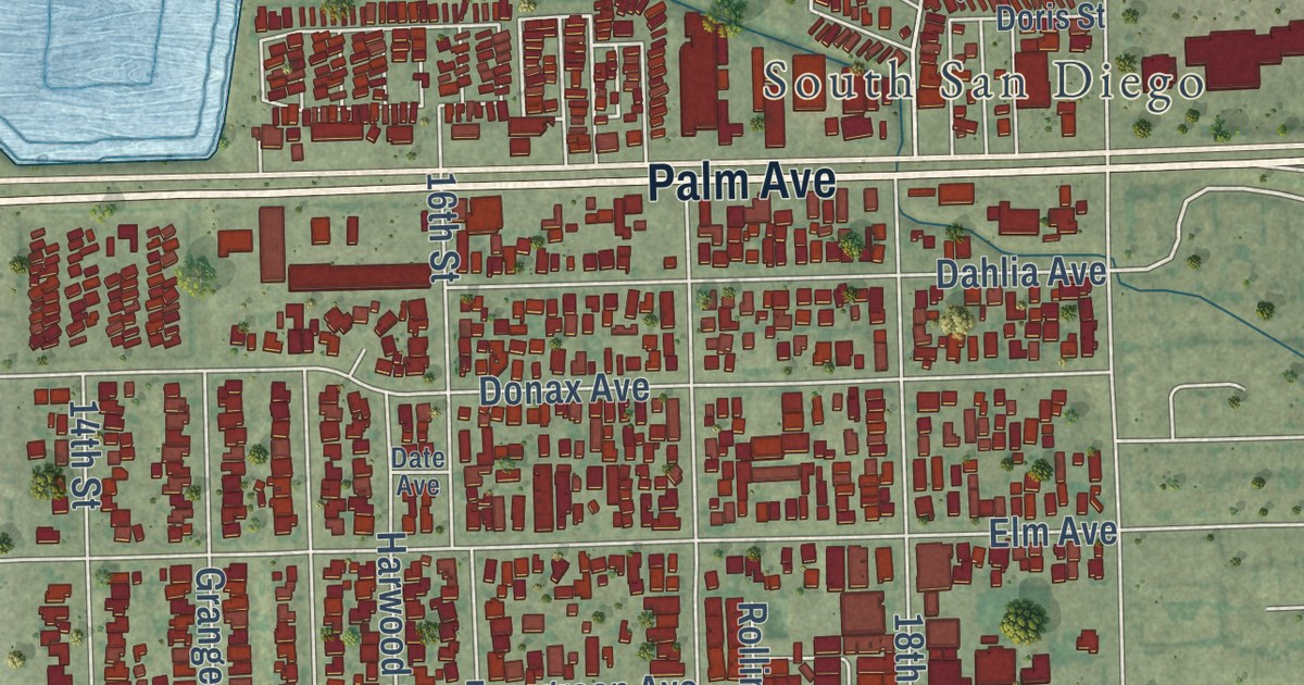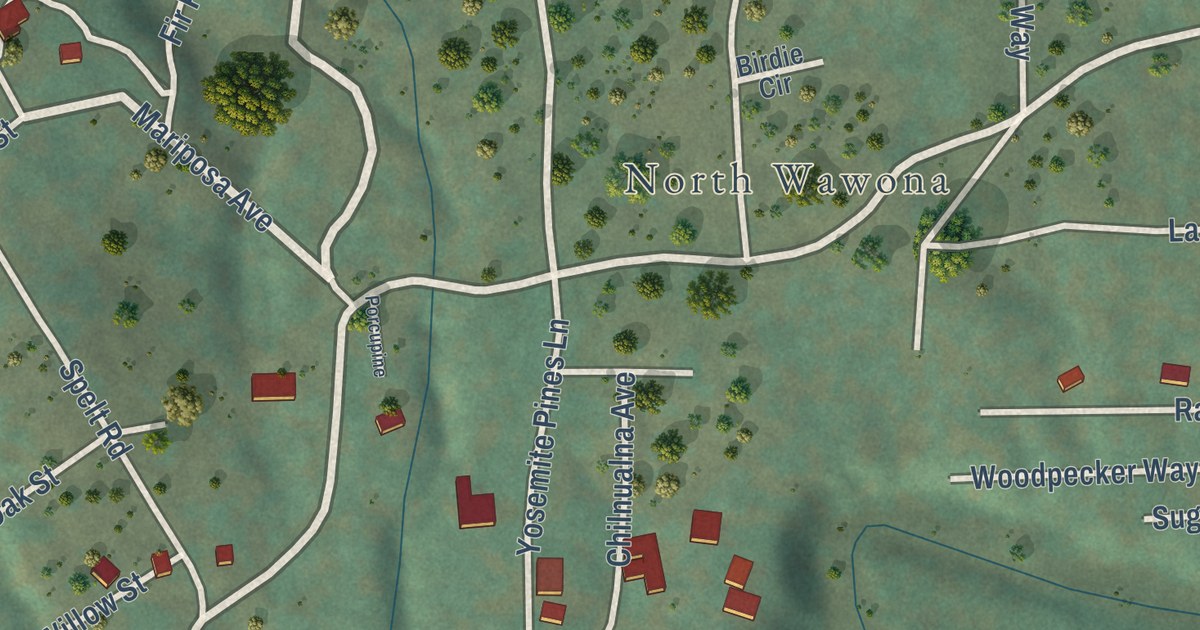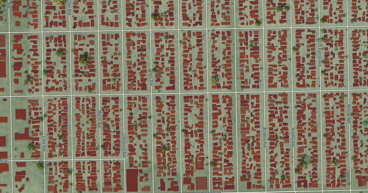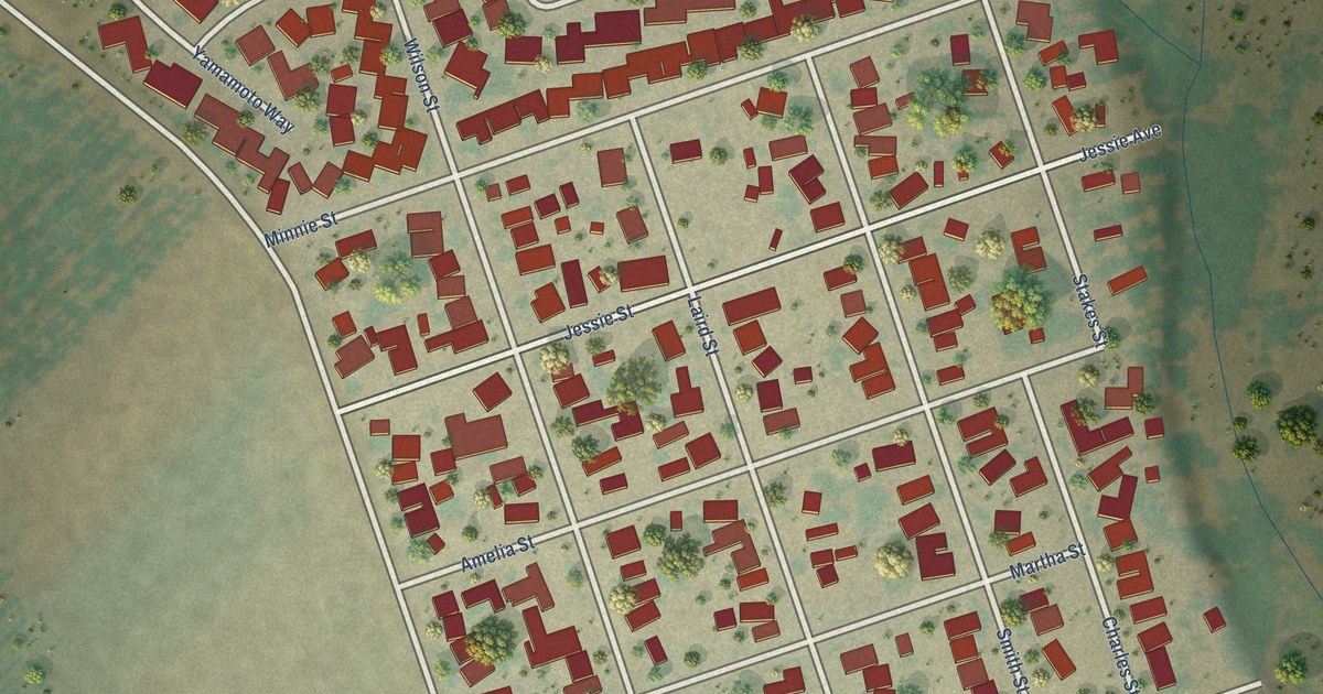
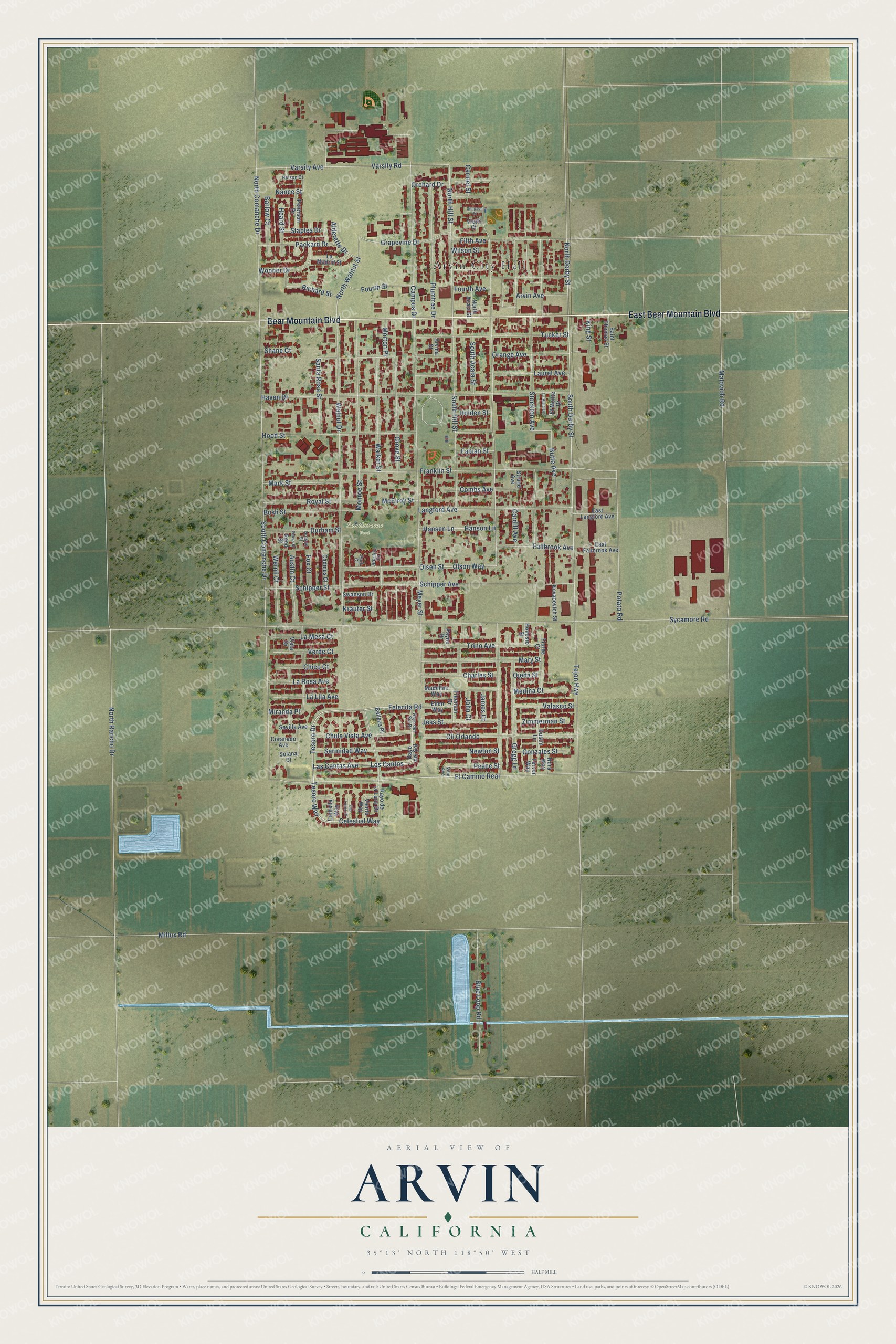
This beautifully detailed map of Arvin, California was created in 2026 using aerial imagery combined with modern topographical, census, street and landmark data. It’s a one-of-a-kind view of Arvin that combines accurate data with a vintage aesthetic. The map shows every building in its true location, many of the roads carry their names, and the shaded topographic relief shows the shape of the land.
Explore an aerial view of Arvin, California
On the map you’ll find Arvin City Hall, Smothermon Park, Los Cantos, and El Camino Real, along with Bear Mountain Boulevard, East Bear Mountain Boulevard, Las Cantas Avenue, Tesoro Drive, Tesoro Way, Felecita Road, Celestial Way, North Derby Street, and more. If you look closely you can even find your house accurately drawn in its correct location. Zoom in on the preview to look for yours.
Did you know this piece of Arvin, California history?
From Ohp.parks.ca.gov: "Padre Garcés, first recorded non-Indian to visit this locality, came in April of 1776, seeking a new route from Mexico to California."
Take a closer look at the Arvin map
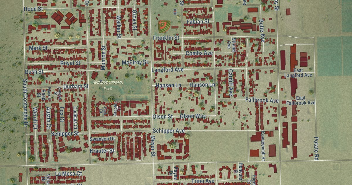
Street and place names on the Arvin, California map
These names are printed on the map of Arvin, California.
Places: Arvin City Hall and Smothermon Park.
Streets and roads: Bear Mountain Boulevard, East Bear Mountain Boulevard, Las Cantas Avenue, Los Cantos, Tesoro Drive, Tesoro Way, Felecita Road, Celestial Way, North Derby Street, El Camino Real, North Hill Street, Varsity Road.
More street names, A to Z
Alderette Drive, Arbolito Court, Arvina Street, Arvin Avenue, Austin Court, Barlow Court, Belleza Place, Blue Loop Road, Bush Street, Butte Avenue, Cadmus Court, Campus Drive, Cardiff Avenue, Carmel Street, Centella Way, Charles Street, Chico Court, Chula Vista Avenue, Cll Orlando, Combs Avenue, Coranado Avenue, Durham Street, Dustin Lane, East Fallbrook Avenue, East Langford Avenue, Ellen Way, El Monte Drive, Fabian Street, Fallbrook Avenue, Fifth Avenue, Flores Court, Fourth Avenue, Fourth Street, Fox Court, Franklin Street, Freeman Drive, Gonzales Street, Grapevine Drive, Gregg Lane, Grove Street, Hansen Lane, Hanson Lane, Haven Drive, Heard Street, Holden Street, Honesto Street, Hood Street, Hutson Street, James Court, Jess Street, John Court, King Street, Kovacevich Street, Krauter Street, La Lila Avenue, La Madrid Street, La Mesa Court, Langford Avenue, La Rosa Avenue, Las Luces Court, Laurel Avenue, La Vista Drive, Madeline Way, Malovich Road, Mark Street, Mary Street, McElroy Street, Medina Court, Meyer Street, Millux Road, Miranda Place, Monroe Street, Morton Place, Nance Street, Nelson Court, Newton Street, Nora Way, North Acala Street, North Comanche Drive, North Rancho Drive, North Walnut Street, Ojeda Street, Olsen Street, Olson Way, Orange Avenue, Orchard Drive, Packard Drive, Park Court, Payne Drive, Peace Street, Peterson Drive, Peters Street, Plumtree Drive, Potato Road, Rayo de la Luna Drive, Rayo del Sol, Rayo del Sol Drive, Reed Street, Richard Street, Royal Street, Saint Thomas Street, Santa Rosa Street, Schipper Avenue, Schipper Street, Serinidad Way, Sevilla Avenue, Shane Court, Simpson Street, Solana Court, South Acala Street, South Comanche Drive, South Derby Street, South Hill Street, Staples Drive, Stockton Avenue, Strand Avenue, Swanson Drive, Sycamore Road, Tarver Way, Tejon Highway, Trino Avenue, Tucker Street, Valasco Street, Varsity Avenue, Verde Court, Vibe Avenue, Viento Way, Vietti Court, Vista Drive, Walker Street, Walnut Drive, Wernli Court, Wilson Street, Wooner Drive, Zimmerman Street.
See the Arvin, California map on a wall
The Arvin map as an 18 x 24 inch print in a black frame.

This beautifully detailed map of Arvin makes an attractive addition to your office, library, or den, and it can even be used to teach children the geography and history of the area. It also makes a great gift for anyone with Arvin roots. When you’re done exploring, click here to get your copy of the Arvin map.