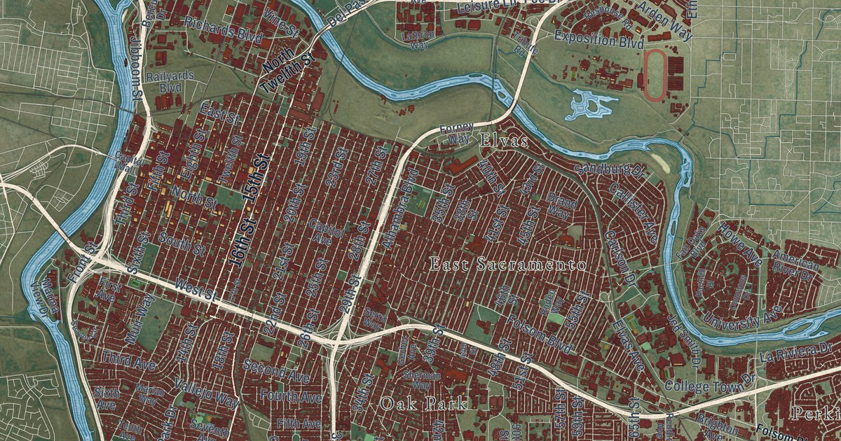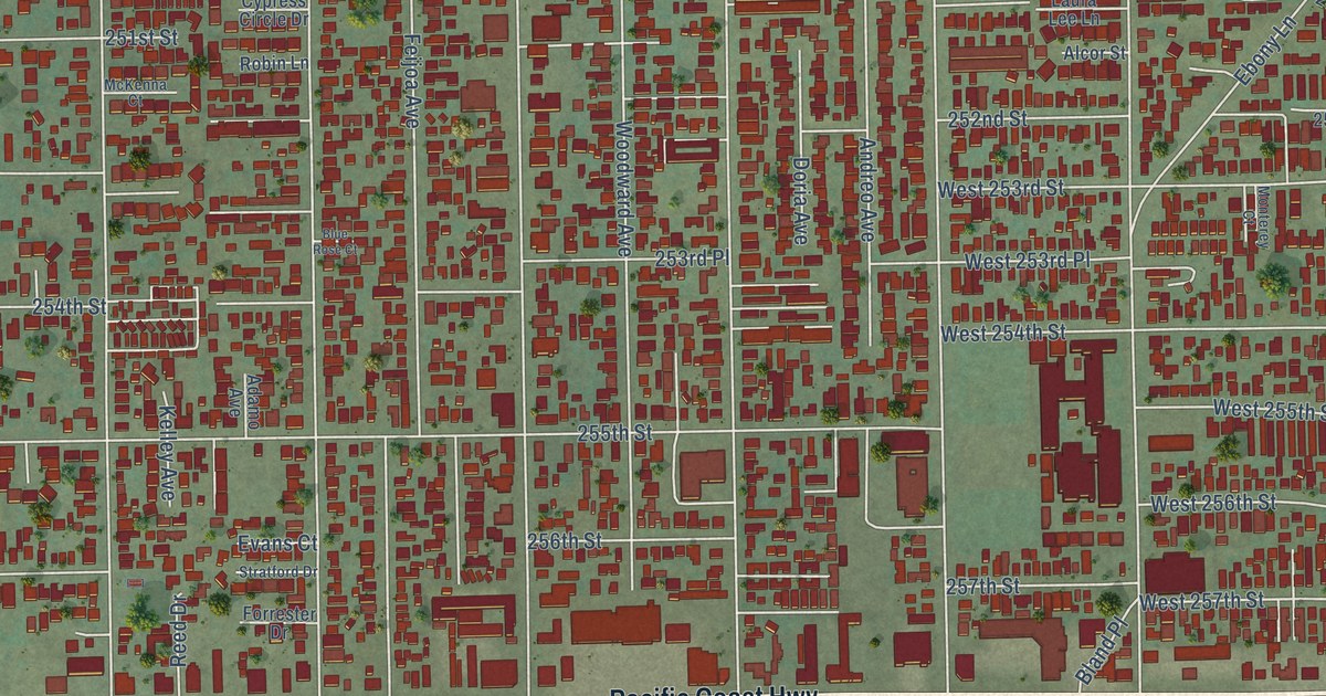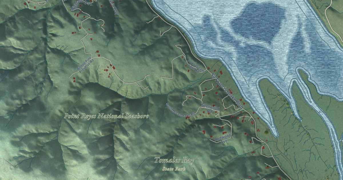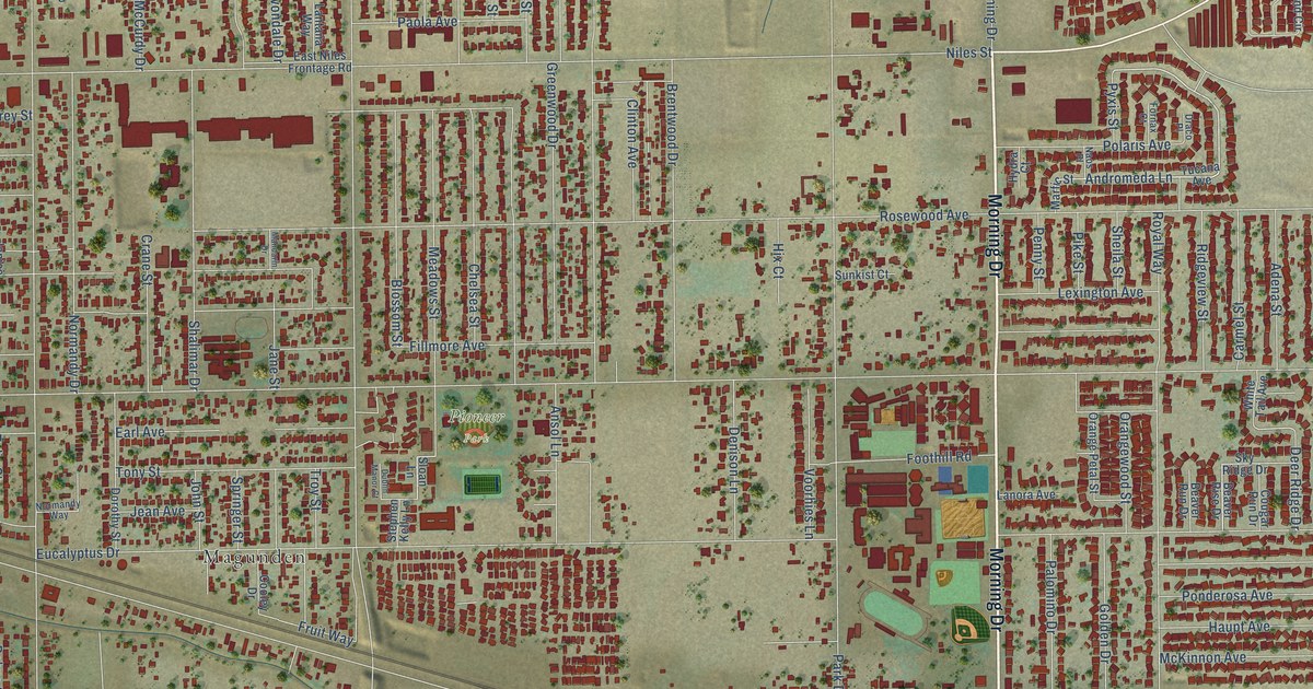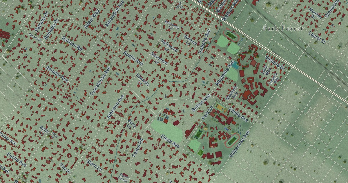
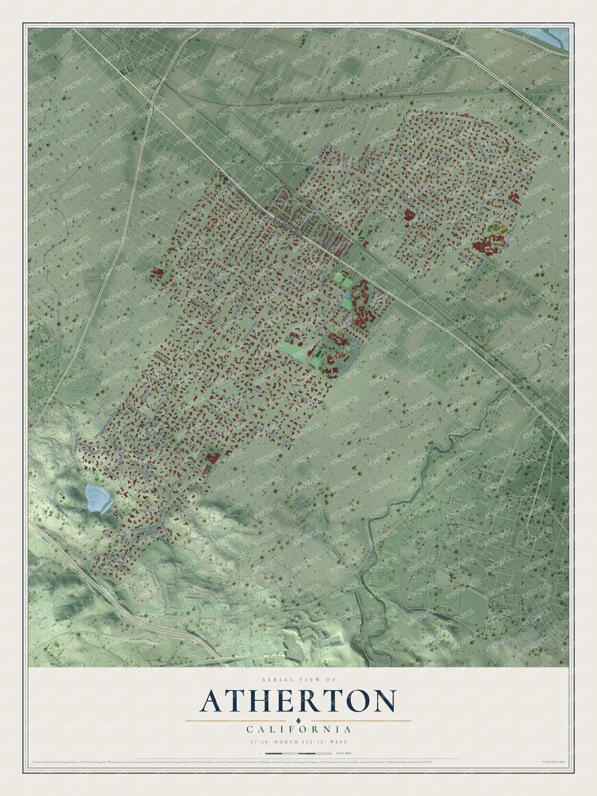
This beautifully detailed map of Atherton, California was created in 2026 using aerial imagery combined with modern topographical, census, street and landmark data. It's a modern aerial view of Atherton in San Mateo County, California, that combines modern data with a vintage aesthetic. The roads feature printed names, and if you look closely you can find your exact house accurately shown in its correct location.
Explore an aerial view of Atherton, California
On this map you'll find Atherton City Hall, Lindenwood, Lloyden Park, Park Forest, El Camino Real, Selby Lane, James Avenue, Atherton Avenue, Fair Oaks Lane, Stockbridge Avenue, Middlefield Road, Valparaiso Avenue, and more. Each red shape is a building, so zoom in on the preview and look for yours.
Atherton has a story worth telling. The National Park Service puts it this way: "The present Ashfield Road undoubtedly has its origins in the Watkins' entrance and lane, entering almost opposite from the Atherton's gate. The property was dotted with numerous huge, spreading oaks, so the Watkinses named their estate Fair Oaks."
Atherton is a town in San Mateo County. The Census Bureau counted 7,188 people here in 2020.
Take a closer look at the Atherton map
Names on this map
These names are printed on this map.
Places: Atherton City Hall, Lindenwood, Lloyden Park and Park Forest.
Streets and roads: El Camino Real, Selby Lane, James Avenue, Atherton Avenue, Fair Oaks Lane, Stockbridge Avenue, Middlefield Road, Valparaiso Avenue, Park Lane, Polhemus Avenue, Irving Avenue, Glenwood Avenue.
More street names, A to Z
15th Avenue, Acacia Drive, Acorn Way, Adam Way, Alameda de Las Pulgas, Alejandra Avenue, Almendral Avenue, Alta Vista Drive, Amador Avenue, Arthur Lane, Ashfield Road, Austin Avenue, Barry Lane, Bay Road, Belbrook Way, Betty Lane, Britton Avenue, Broadacres Road, Burns Avenue, Callado Way, Cam Al Lago, Cam de Los Arboles, Cam por Los Arboles, Catalpa Drive, Clay Drive, Cowell Lane, De Bell Drive, Deodora Drive, Douglas Way, Edge Road, Edwards Lane, Eleanor Drive, Elena Avenue, Elm Place, Emilie Avenue, Encina Avenue, Encinal Avenue, Encino Road, Euclid Avenue, Fairview Avenue, Faxon Forest, Faxon Road, Fletcher Drive, Fleur Place, Flood Circle, Fredrick Avenue, Greenoaks Drive, Gresham Lane, Hawthorne Drive, Heather Drive, Holbrook Lane, Inglewood Lane, Isabella Avenue, Jennings Lane, Juniper Drive, Knoll Vis, Laburnum Road, Lane Place, Larch Drive, Laurel Street, Leon Way, Lilac Drive, Linda Vista Avenue, Linden Avenue, Lloyden Drive, Logan Lane, Lowery Drive, Lupin Lane, Macbain Avenue, Madrone Road, Magnolia Drive, Mandarin Way, Manzanita Road, Maple Avenue, Marsh Road, Marymont Avenue, Meadow Lane, Melanie Lane, Mercedes Lane, Mesa Court, Monte Vista Avenue, Moore Road, Moulton Drive, Mount Vernon Lane, Mulberry Lane, Nora Way, Oak Drive, Oak Grove Avenue, Oakwood Boulevard, Odell Place, Orchard Hills Street, Park Drive, Parker Avenue, Parkwood Drive, Patricia Drive, Placitas Avenue, Prior Lane, Ralston Road, Ravenswood Avenue, Rebecca Lane, Redwood Way, Reservoir Road, Ridge View Drive, Ringwood Avenue, Robleda Drive, Rosewood Drive, San Benito Avenue, Santiago Avenue, Sargent Lane, Serrano Drive, Shearer Drive, Spencer Lane, Stern Lane, Stevenson Lane, Stevick Drive, Sutherland Drive, Tallwood Court, Toyon Road, Tuscaloosa Avenue, Valley Road, Victoria Drive, Virginia Lane, Walnut Avenue, Walsh Road, Watkins Avenue, Wilburn Avenue, Wisteria Way.
Created by KNOWOL in 2026. The buildings are small red shapes, the roads carry their printed names, and shaded relief shows the shape of the land. The title panel reads "AERIAL VIEW OF ATHERTON CALIFORNIA" with 37°28' NORTH 122°12' WEST.
It looks right in a kitchen, an office or a den, and it's a gift for anyone who grew up in Atherton or moved away. Open the preview and find your street. See sizes and frames for the Atherton map.