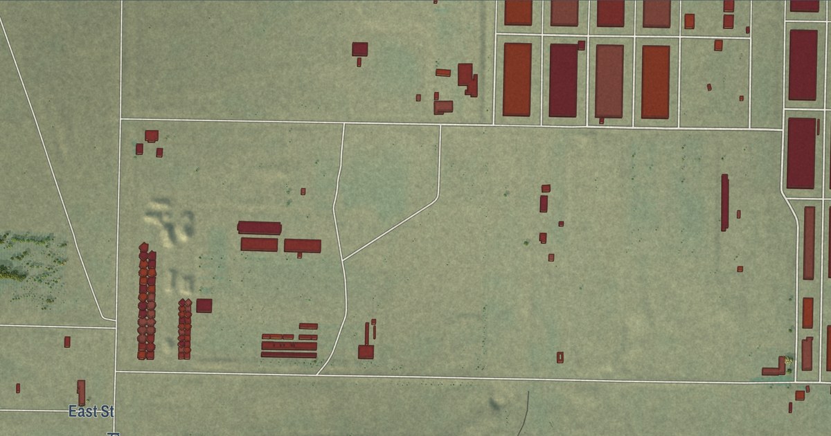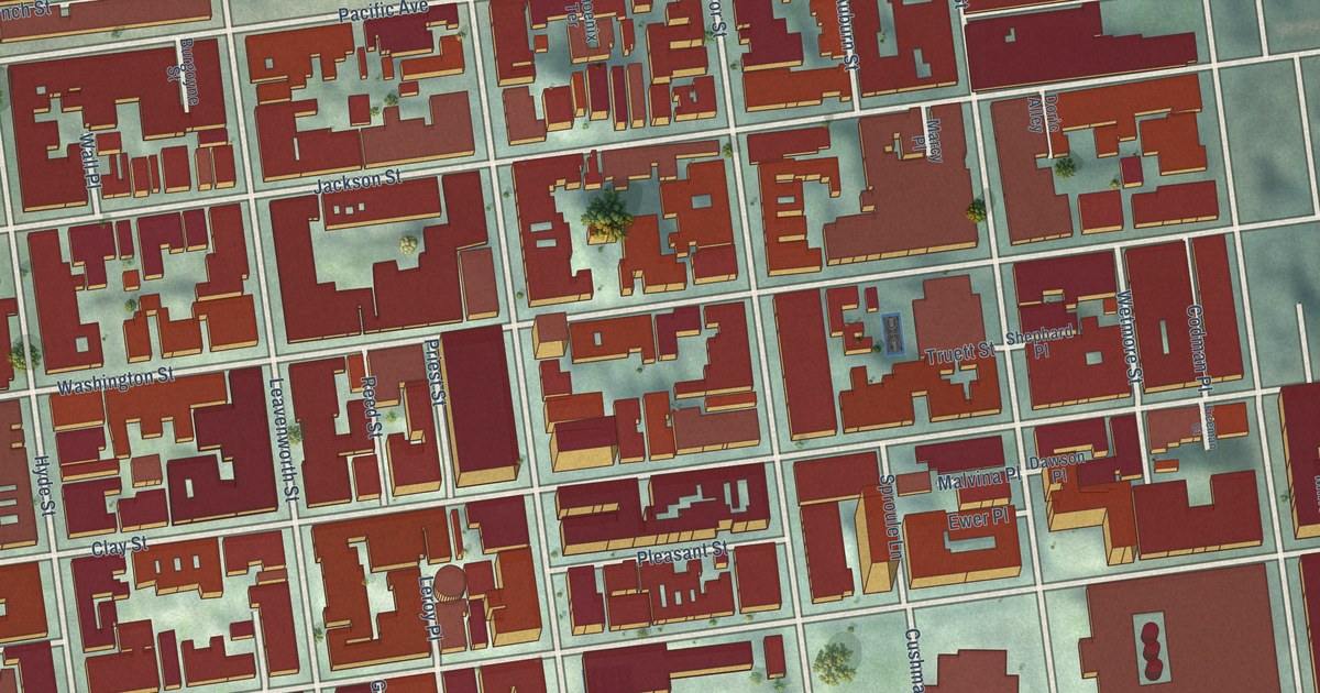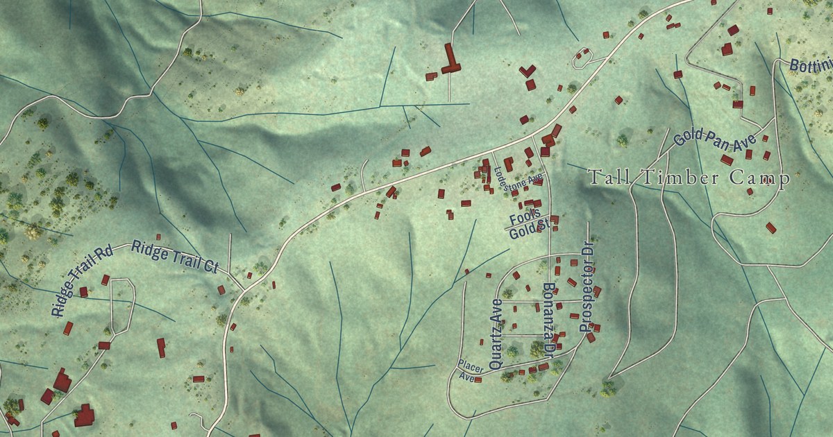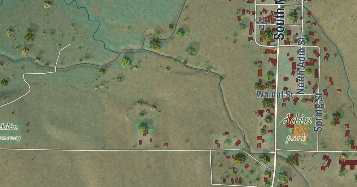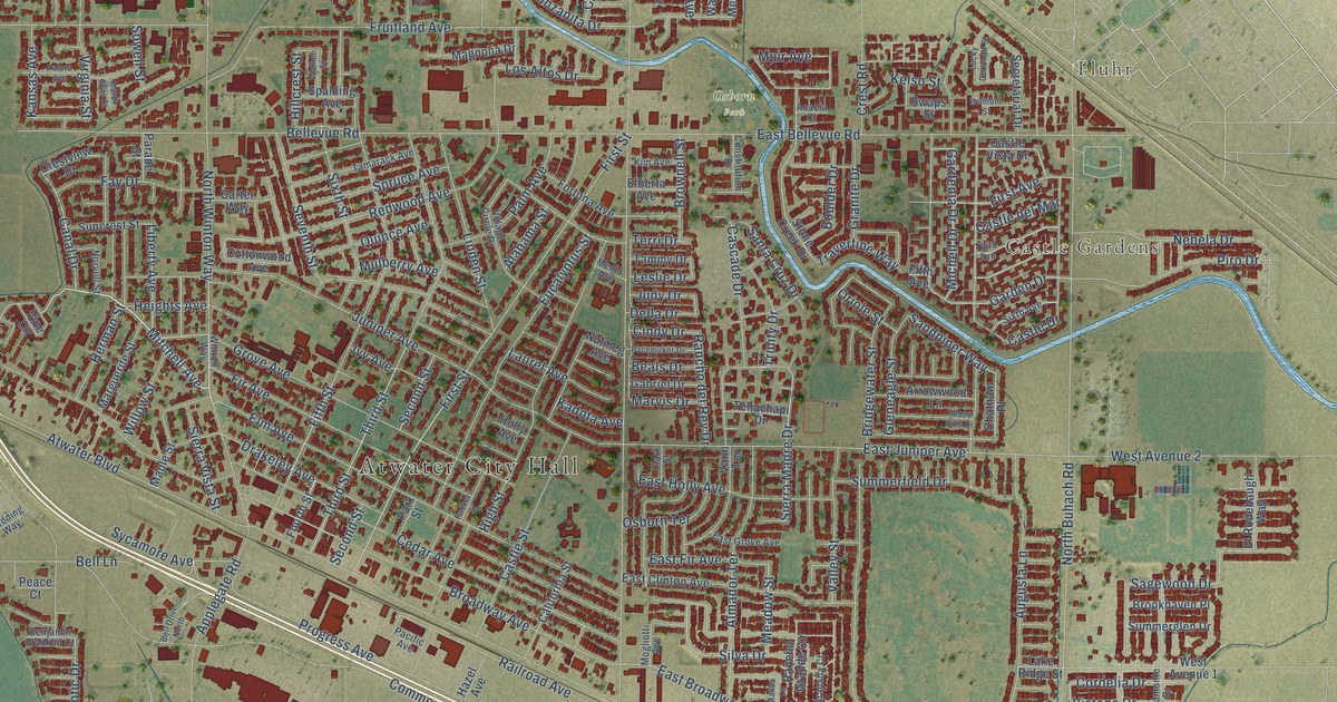
This beautifully detailed map of Atwater, California was created in 2026 using aerial imagery combined with modern topographical, census, street and landmark data. It’s a one-of-a-kind view of Atwater that combines accurate data with a vintage aesthetic. The map shows every building in its true location, many of the roads carry their names, and the shaded topographic relief shows the shape of the land.
Explore an aerial view of Atwater, California
On the map you’ll find Atwater City Hall, Fluhr, Buhach, Castle Gardens, and Osborn Park, along with Green Sands Avenue, Mitchell Avenue, Silva Drive, Meadow Street, Canal Drive, Vistana Drive, Sagewood Drive, and more. If you look closely you can even find your house accurately drawn in its correct location. Zoom in on the preview to look for yours.
Did you know this piece of Atwater, California history?
From the Atwater Historical Society: "In 1872, when the Central Pacific Railroad pushed through the Valley to Merced, Atwater and Mitchell convinced the railroad to put in a spur at the warehouse where Atwater stored his grain."
Take a closer look at the Atwater map
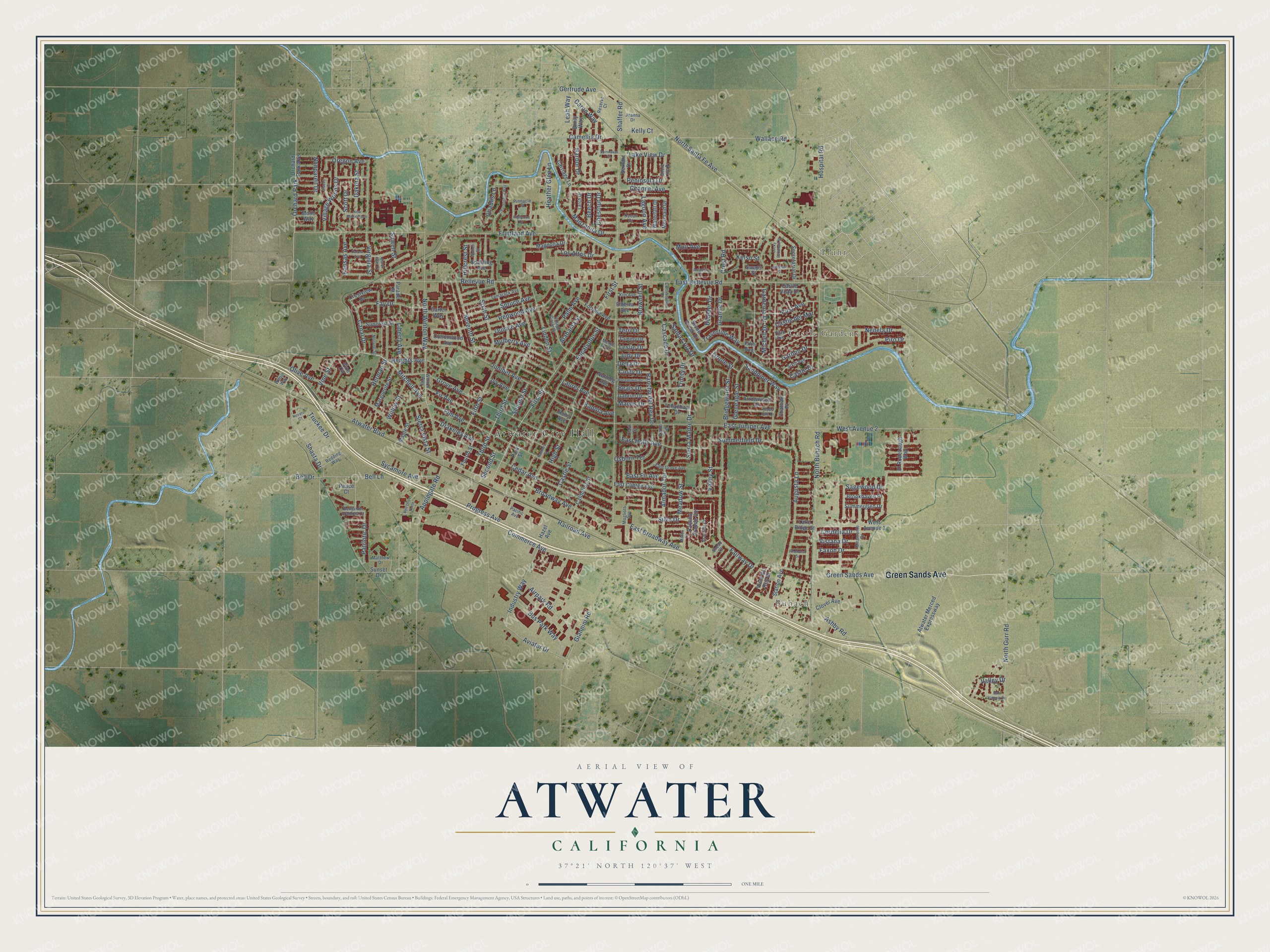
Street and place names on the Atwater, California map
These names are printed on the map of Atwater, California.
Places: Atwater City Hall, Fluhr, Buhach, Castle Gardens, Osborn Park and Orchard Park.
Streets and roads: Green Sands Avenue, Mitchell Avenue, Silva Drive, Meadow Street, Canal Drive, Vistana Drive, Sagewood Drive, Sandpiper Way, Cordelia Drive, Muir Avenue, Sierra Madre Drive, First Street.
More street names, A to Z
Acacia Court, Airpark Road, Alabama Street, Almador Terrace, Applegate Road, Arrowwood Lane, Ashby Road, Atwater Boulevard, Atwater Merced Expressway, Augusta Lane, Aviator Drive, Beals Drive, Beech Drive, Bell Drive, Bell Drive North, Bellevue Road, Bell Lane, Belmont Street, Benjamin Franklin Court, Boulder Drive, Bridgewater Street, Broadway Avenue, Brookhaven Place, Brownell Street, Bus Park Way, California Street, Camellia Drive, Caron Way, Carriage Lane, Carter Way, Cascade Drive, Castle del Mar, Castle Drive, Castle Street, Castle Vista Drive, Cedar Avenue, Chablis Lane, Channel Avenue, Chardonnay Way, Chatham Place, Chestnut Drive, Cindy Drive, Clark Street, Clover Avenue, Commerce Avenue, Constitution Drive, Cottonwood Avenue, Crest Road, Crestview Drive, Dakota Street, Della Drive, Drakeley Avenue, East Bellevue Road, East Broadway Avenue, East Clinton Avenue, East Fir Avenue, East Grove Avenue, East Holly Avenue, East Juniper Avenue, Elberta Avenue, Elm Avenue, El Rodebaugh Way, Emily Way, Eucalyptus Street, Fairway Drive, Faxon Drive, Fay Drive, Fifth Avenue, Fifth Street, Fir Avenue, First Avenue, Fortuna Avenue, Fourth Street, Fruitland Avenue, Gabriel Drive, Garden Drive, Gardenia Drive, Gertrude Avenue, Giannini Road, Gleneagle Street, Granada Court, Granite Drive, Grove Avenue, Harbor Drive, Hazel Avenue, Heather Glen Lane, Heights Avenue, Herman Street, Highpoint Drive, High Street, Hillcrest Street, Holly Avenue, Hospital Road, Industry Way, Ivy Avenue, Jeanna Drive, Judy Drive, Juniper Avenue, Kadota Avenue, Kansas Avenue, Kelly Court, Kelso Street, Kim Avenue, Lagoon Avenue, Lake Ridge Street, Lake View Drive, Larch Drive, Laurel Avenue, Leah Way, Leslie Drive, Liberty Avenue, Linden Street, Los Altos Drive, Lucky Debonair Street, Magnolia Drive, Malibu Lane, Manzanita Drive, Maple Street, Mardi Gras Court, Marguerite Street, Marvis Drive, Matthew Drive, Menlo Avenue, Mermaid Drive, Michell Drive, Miramonte Drive, Mogliotti Avenue, Mono Way, Mulberry Avenue, Nebela Drive, New Mexico Avenue, Nonpareil Drive, North Buhach Road, North Gurr Road, North Santa Fe Avenue, North Winton Way, Norvell Street, Novato Court, Nutmeg Avenue, Ocean Court, Olive Avenue, Orchard Park Avenue, Oregon Avenue, Oriole Street, Osborn Terrace, Pacemaker Drive, Pacific Avenue, Packers Street, Palm Avenue, Palora Avenue, Parade Street, Park Street, Patriotic Drive, Peace Court, Peninsula Drive, Pinehurst Drive, Pinnacle Place, Piro Drive, Poppy Hills Drive, Progress Avenue, Quince Avenue, Railroad Avenue, Rancho del Rey Drive, Rancho Grande Circle, Redding Way, Redwood Avenue, Reserve Court, San Joaquin Drive, Santa Cruz Drive, Scott Drive, Second Street, Secretariat Drive, Seventh Street, Sextant Drive, Shaffer Road, Shasta Drive, Shore Line Drive, Sierra Vista Street, Sixth Avenue, Sixth Street, Snead Court, Sowell Street, Spalding Avenue, Spinnaker Drive, Spruce Avenue, Stacey Court, Station Avenue, Stone Creek Drive, Summerfield Drive, Summerglen Drive, Suncrest Street, Sunset Drive, Swaps Street, Sycamore Avenue, Tamarack Avenue, Tammy Drive, Tehachapi Drive, Terri Drive, Third Avenue, Third Street, Travertine Way, Trinity Drive, Truckee Drive, Valley Drive, Valley Street, Vann Terrace, Village Circle Drive, Village Woods Drive, Vine Circle, Vine Street, Virginia Street, Vista del Rey Drive, Wallace Road, Waterfall Drive, Wathen Street, West Avenue 1, West Avenue 2, Wilbur Way, Willow Street, Winton Way.
See the Atwater, California map on a wall
The Atwater map as an 18 x 24 inch print in a black frame.

This beautifully detailed map of Atwater makes an attractive addition to your office, library, or den, and it can even be used to teach children the geography and history of the area. It also makes a great gift for anyone with Atwater roots. When you’re done exploring, click here to get your copy of the Atwater map.