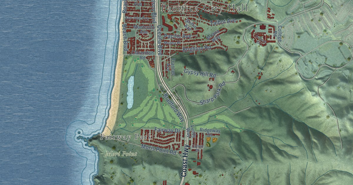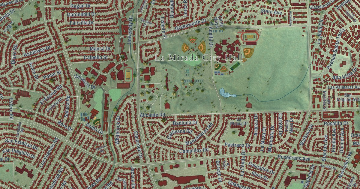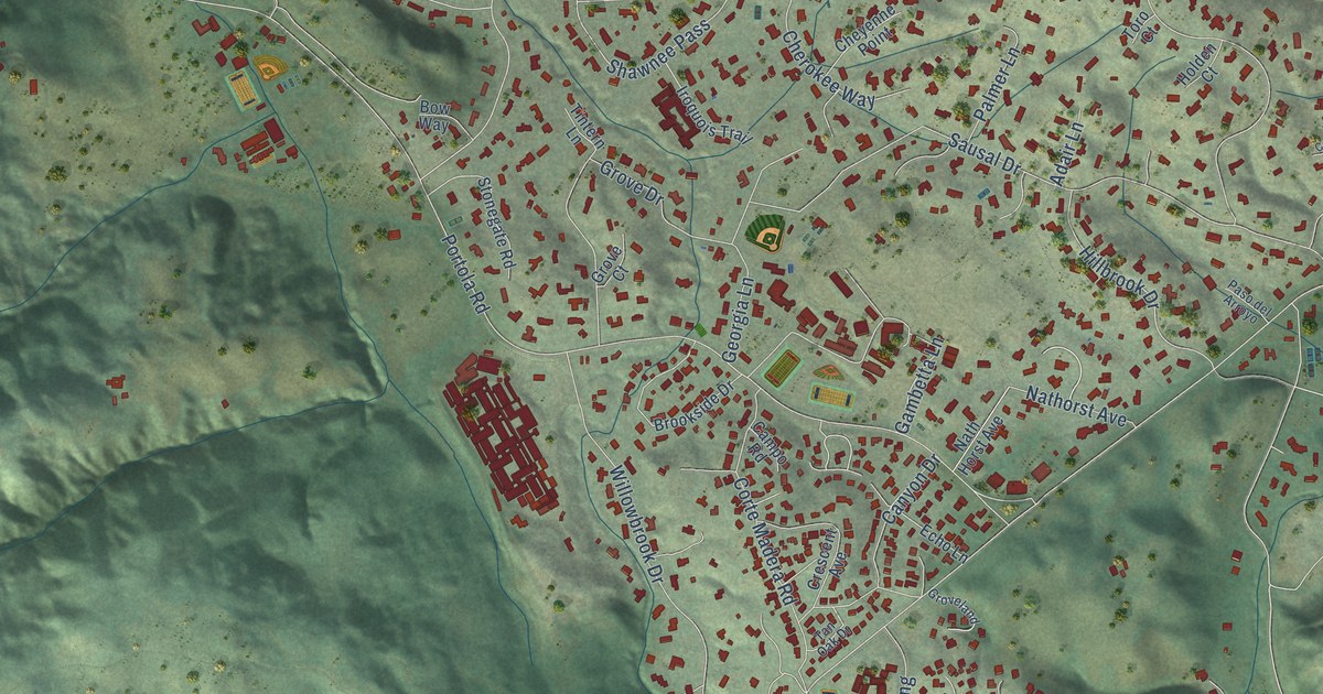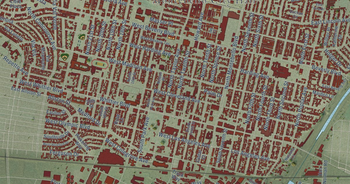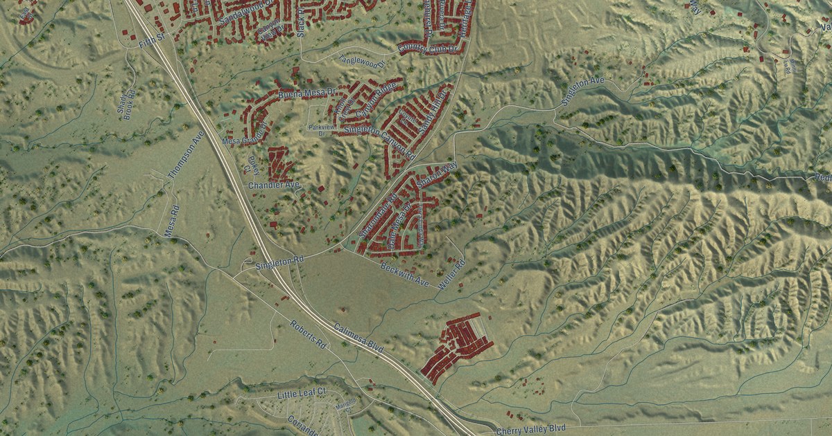
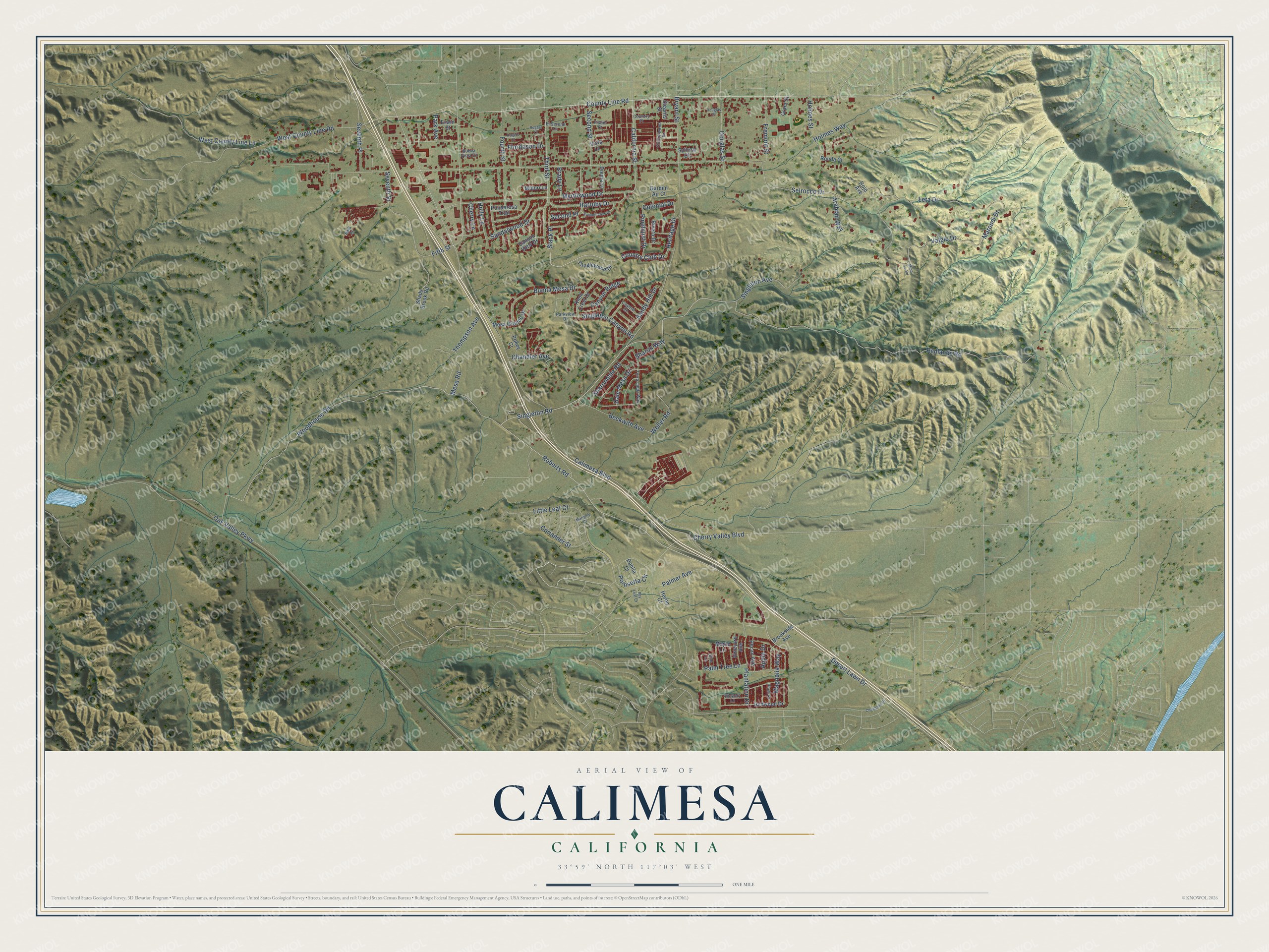
This beautifully detailed map of Calimesa, California was created in 2026 using aerial imagery combined with modern topographical, census, street and landmark data. It's a modern aerial view of Calimesa in Riverside County, California, that combines modern data with a vintage aesthetic. The roads feature printed names, and if you look closely you can find your exact house accurately shown in its correct location.
Explore an aerial view of Calimesa, California
On this map you'll find Singleton Road, Desert Lawn Drive, Roberts Road, Country Club Drive, Heritage Drive, County Line Road, Woodhouse Road, Redlands Road, Sandalwood Drive, Third Street, Colonial Drive, Calimesa Boulevard, and more. Each red shape is a building, so zoom in on the preview and look for yours.
Every town has a first chapter, and Calimesa is no exception. The City of Calimesa puts it this way: "It was in 1929 that Calimesa was given its name and its first post office established. When there were between 40 and 50 families living in the South Bench area they felt the need for their own post office."
Calimesa is a city in Riverside County. The Census Bureau counted 10,026 people here in 2020.
Take a closer look at the Calimesa map
Names on this map
These names are printed on this map.
Streets and roads: Singleton Road, Desert Lawn Drive, Roberts Road, Country Club Drive, Heritage Drive, County Line Road, Woodhouse Road, Redlands Road, Sandalwood Drive, Third Street, Colonial Drive, Calimesa Boulevard.
More street names, A to Z
Apple Drive, Arabian Way, Bay Leaf Court, Beckwith Avenue, Brady Lane, Brookside Avenue, Bryant Street, Buena Mesa Drive, Buena Vista Court, California Street, Canyon Ridge, Canyon View Drive, Champion Drive, Chandler Avenue, Cherry Lane, Cherry Valley Boulevard, Coriander Street, Cottonwood Drive, Country Place, Coyote Lane, Dahlia Court, Dale Mesa Drive, Donna Lane, Douglas Place, Douglas Street, East Street, Elm Lane, El Serene Lane, Erwin Street, Fifth Street, Fisher Court, Flordason Drive, Fourth Street, Fremont Street, Garden Air Court, Grant Street, Harruby Drive, Heron Court, Hickory Lane, Holly Lane, Holmes Street, Holmes Way, Knoll Crest Drive, Leta Drive, Little Leaf Court, Magnolia Way, Maple Lane, Marigold Court, Marondi Drive, Mesa Grande Drive, Mesa Road, Midori Lane, Minni Lu Road, Myrtlewood Drive, Oak Valley Parkway, Palmer Avenue, Palm Tree Lane, Park Avenue, Parkview Drive, Pecan Avenue, Pinehurst Drive, Plantation Drive, Plum Drive, Poinsetta Circle, Pokey Court, Ponderosa Trail, Redwood Drive, Rivera Drive, Rogers Court, Rogers Lane, Rojo Avenue, Ronda Court, Sandy Hill Drive, Second Place, Second Street, Selrocco Drive, Seventh Place, Seventh Street, Shady Brook Road, Sharondale Road, Sharon Way, Singleton Avenue, Singleton Canyon Road, Slack Place, Stearns Street, Summit View Drive, Syllmar Circle, Tanglewood Drive, Terra Linda Way, Thompson Avenue, Valgio Drive, Vineyard Avenue, Vista Lane, Weller Road, West County Line Lane, West County Line Road.
Created by KNOWOL in 2026. The buildings are small red shapes, the roads carry their printed names, and shaded relief shows the shape of the land. The title panel reads "AERIAL VIEW OF CALIMESA CALIFORNIA" with 33°59' NORTH 117°03' WEST.
Hang it in the hallway, the office or the cabin, or give it to someone who left Calimesa and still calls it home. Open the preview and look for a street you know. See sizes and frames for the Calimesa map.