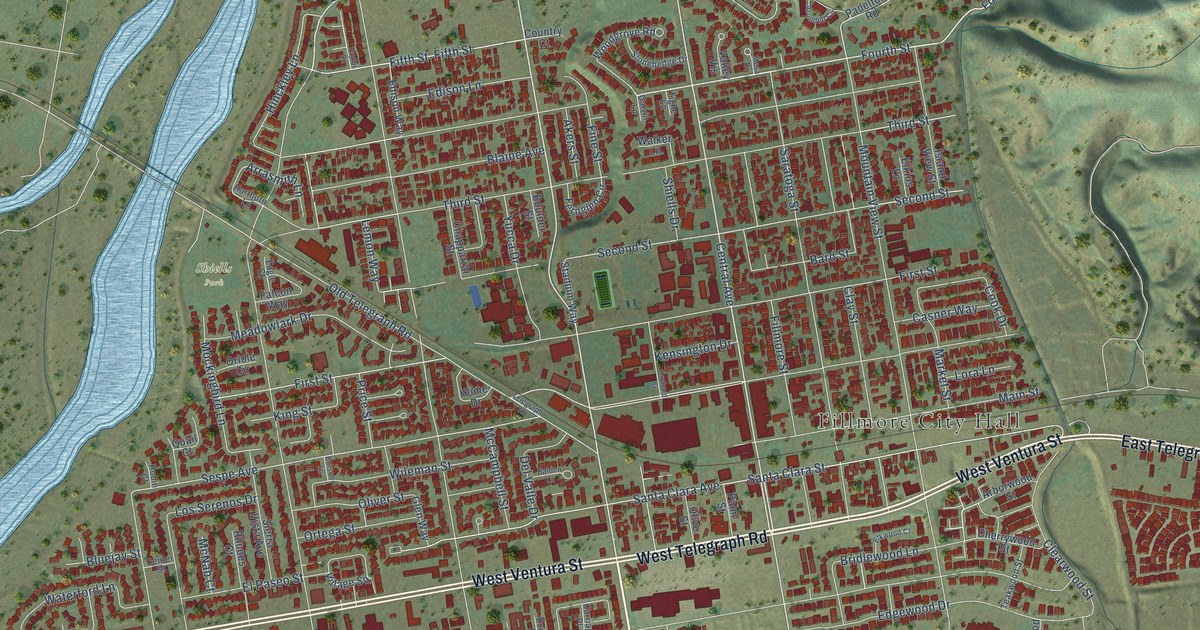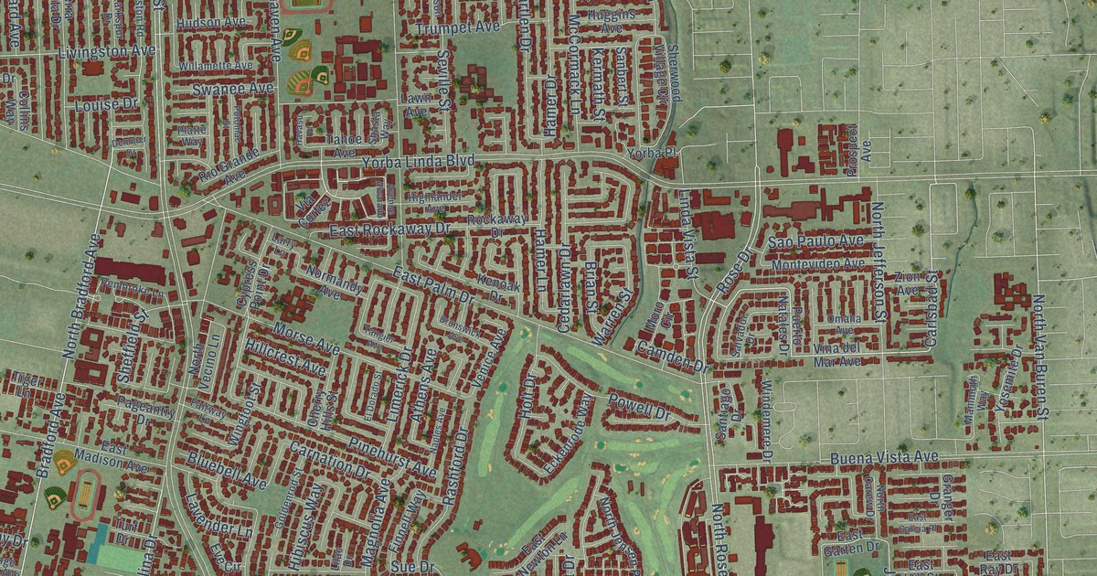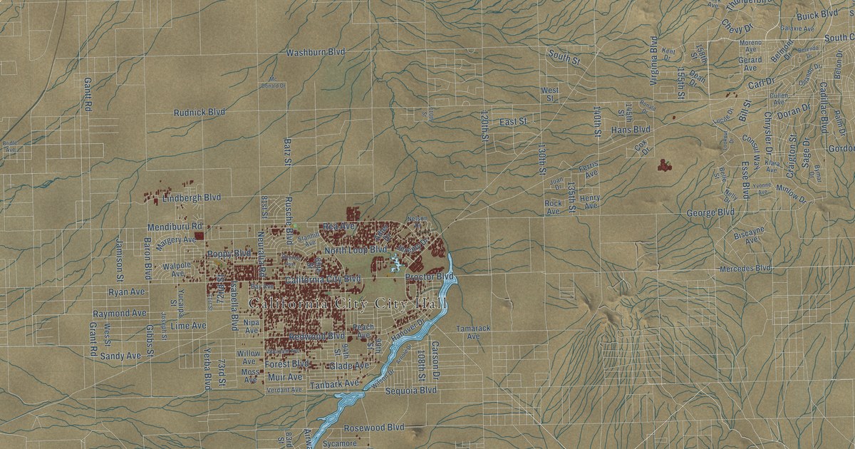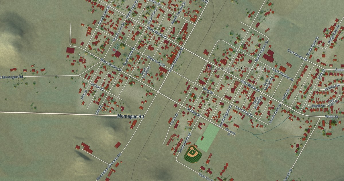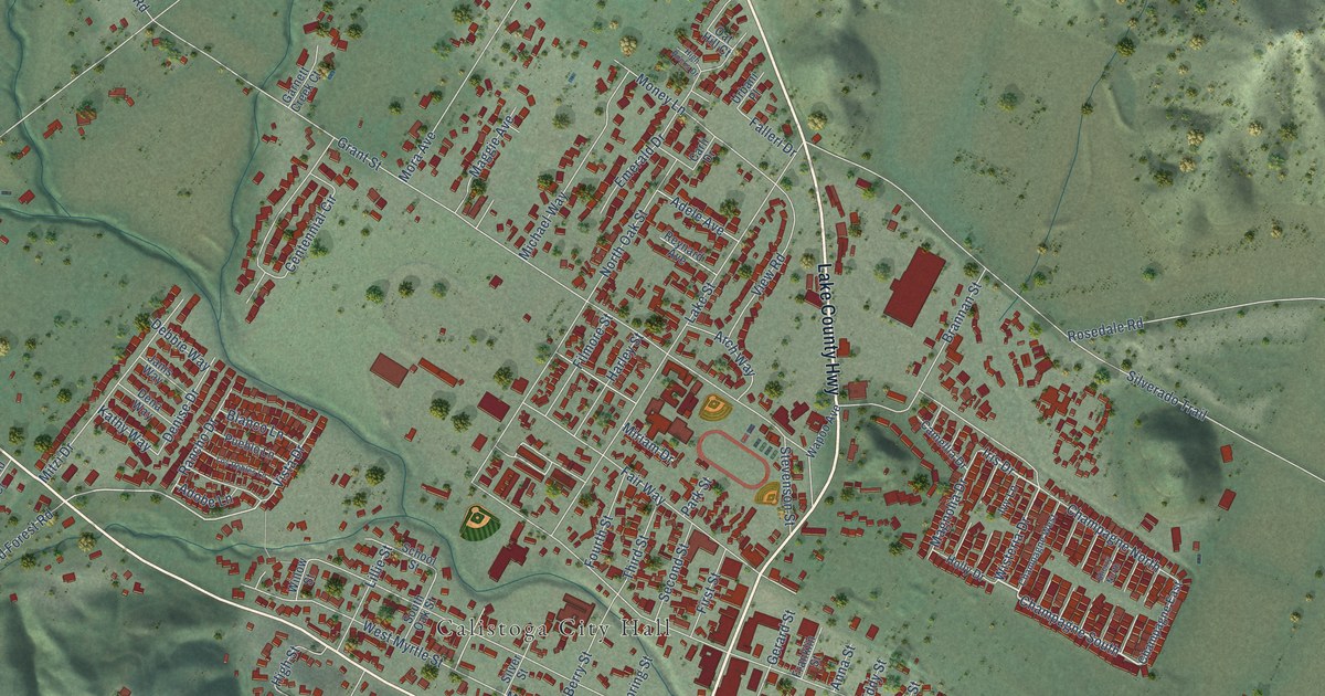
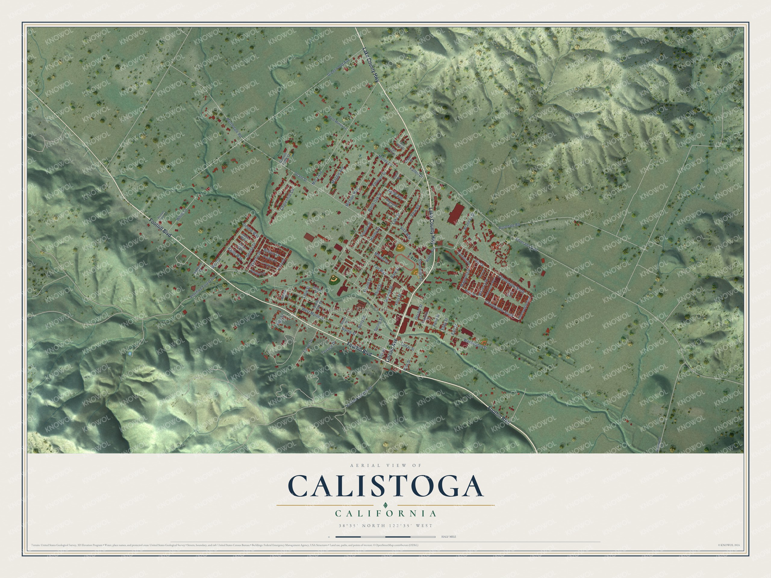
This beautifully detailed map of Calistoga, California was created in 2026 using aerial imagery combined with modern topographical, census, street and landmark data. It's a modern aerial view of Calistoga in Napa County, California, that combines modern data with a vintage aesthetic. The roads feature printed names, and if you look closely you can find your exact house accurately shown in its correct location.
Explore an aerial view of Calistoga, California
On this map you'll find Calistoga City Hall, Foothill Boulevard, Lincoln Avenue, Lake County Highway, Champagne South, Wisteria Drive, Iris Drive, Cedar Street, Grant Street, Greenwood Avenue, Silverado Trail, Washington Street, and more. Each red shape is a building, so zoom in on the preview and look for yours.
Every town has a first chapter, and Calistoga is no exception. The record at ohp.parks.ca.gov puts it this way: "Rebuilt as part of the home of the Kortum family, it was used as a residence until razed in 1930."
Calistoga is a city in Napa County. The Census Bureau counted 5,228 people here in 2020.
Take a closer look at the Calistoga map
Names on this map
These names are printed on this map.
Places: Calistoga City Hall.
Streets and roads: Foothill Boulevard, Lincoln Avenue, Lake County Highway, Champagne South, Wisteria Drive, Iris Drive, Cedar Street, Grant Street, Greenwood Avenue, Silverado Trail, Washington Street, Lake Street.
More street names, A to Z
Adele Avenue, Adobe Lane, Anna Street, Arch Way, Berry Street, Blanco Lane, Blossom Creek Lane, Brannan Street, Camellia Drive, Carli Drive, Centennial Circle, Champagne East, Champagne North, Champagne West, Debbie Way, Dena Way, Denise Drive, Dunaweal Lane, Earl Street, Eddy Street, Elm Street, Emerald Drive, Fair Way, Falleri Drive, Filmore Street, First Street, Fourth Street, Franklin Street, Garnett Creek Court, Gerard Street, Harley Street, Highland Court, High Rocks Drive, High Street, Holly Drive, Ivy Lane, Janis Way, Kathy Way, Kortum Canyon Road, Lerner Drive, Lillie Street, Los Robles Lane, Maggie Avenue, Magnolia Drive, Michael Way, Miriam Drive, Mitzi Drive, Money Lane, Mora Avenue, Myrtledale Road, Myrtle Street, North Oak Street, Oat Hill Court, Park Street, Petrified Forest Road, Pine Street, Pueblo Lane, Rancho Drive, Reynard Avenue, Rosedale Road, School Street, Second Street, Sherry North, Silver Street, South Oak Street, Spring Street, Stevenson Street, Terrace Drive, Third Street, Urbani Place, View Road, Vista Drive, Wapoo Avenue, West Money Lane, West Myrtle Street, White Lane, Willow Street.
Created by KNOWOL in 2026. The buildings are small red shapes, the roads carry their printed names, and shaded relief shows the shape of the land. The title panel reads "AERIAL VIEW OF CALISTOGA CALIFORNIA" with 38°35' NORTH 122°35' WEST.
Hang it in the hallway, the office or the cabin, or give it to someone who left Calistoga and still calls it home. Open the preview and look for a street you know. See sizes and frames for the Calistoga map.