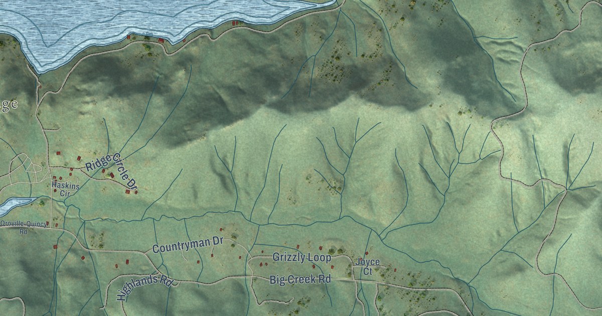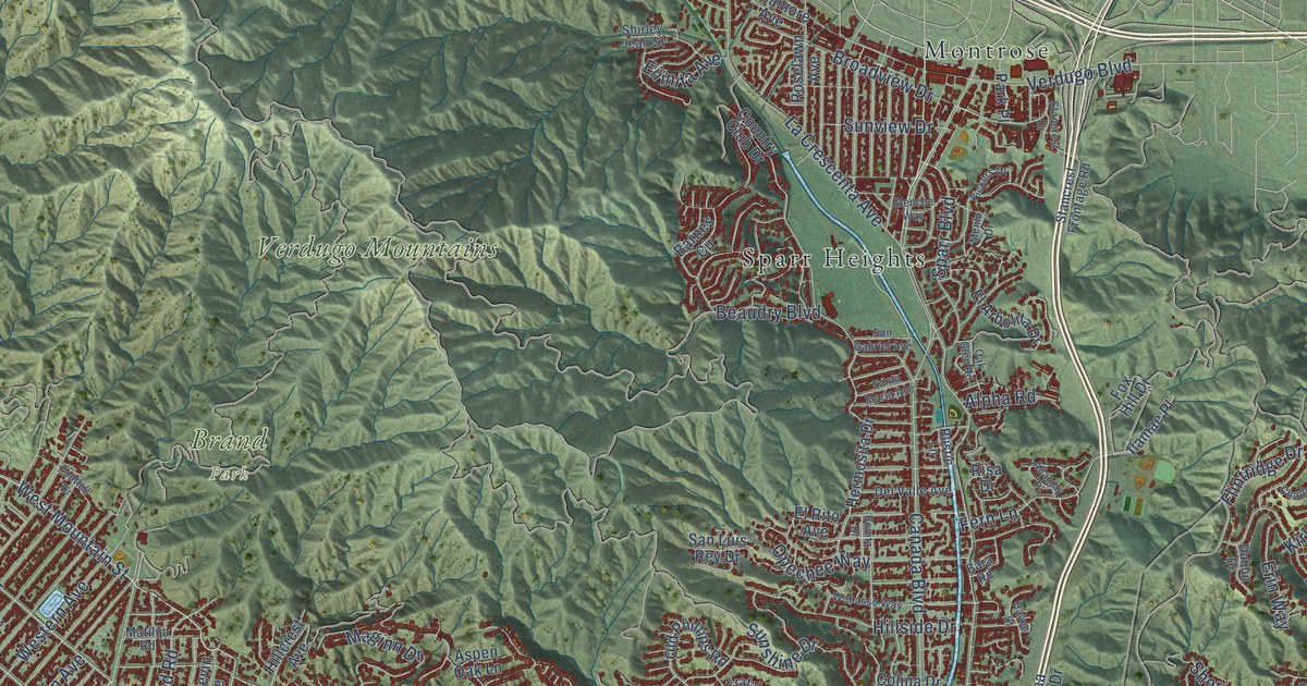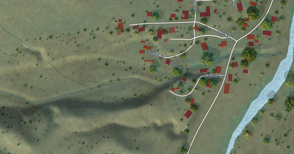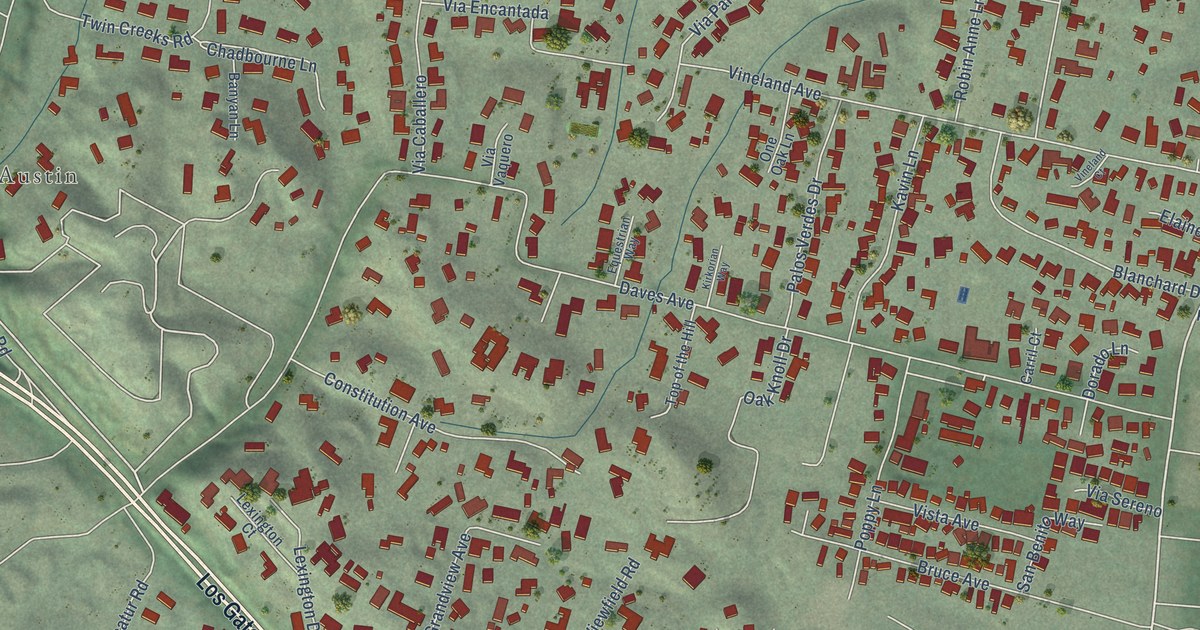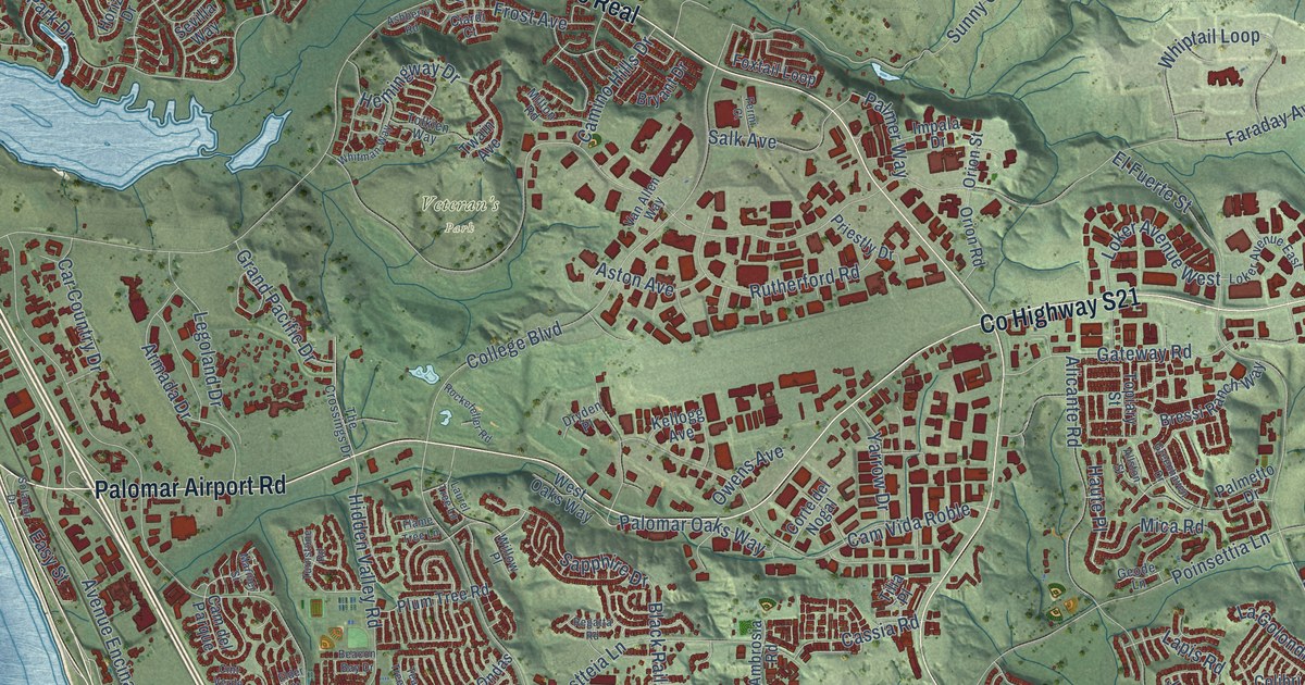
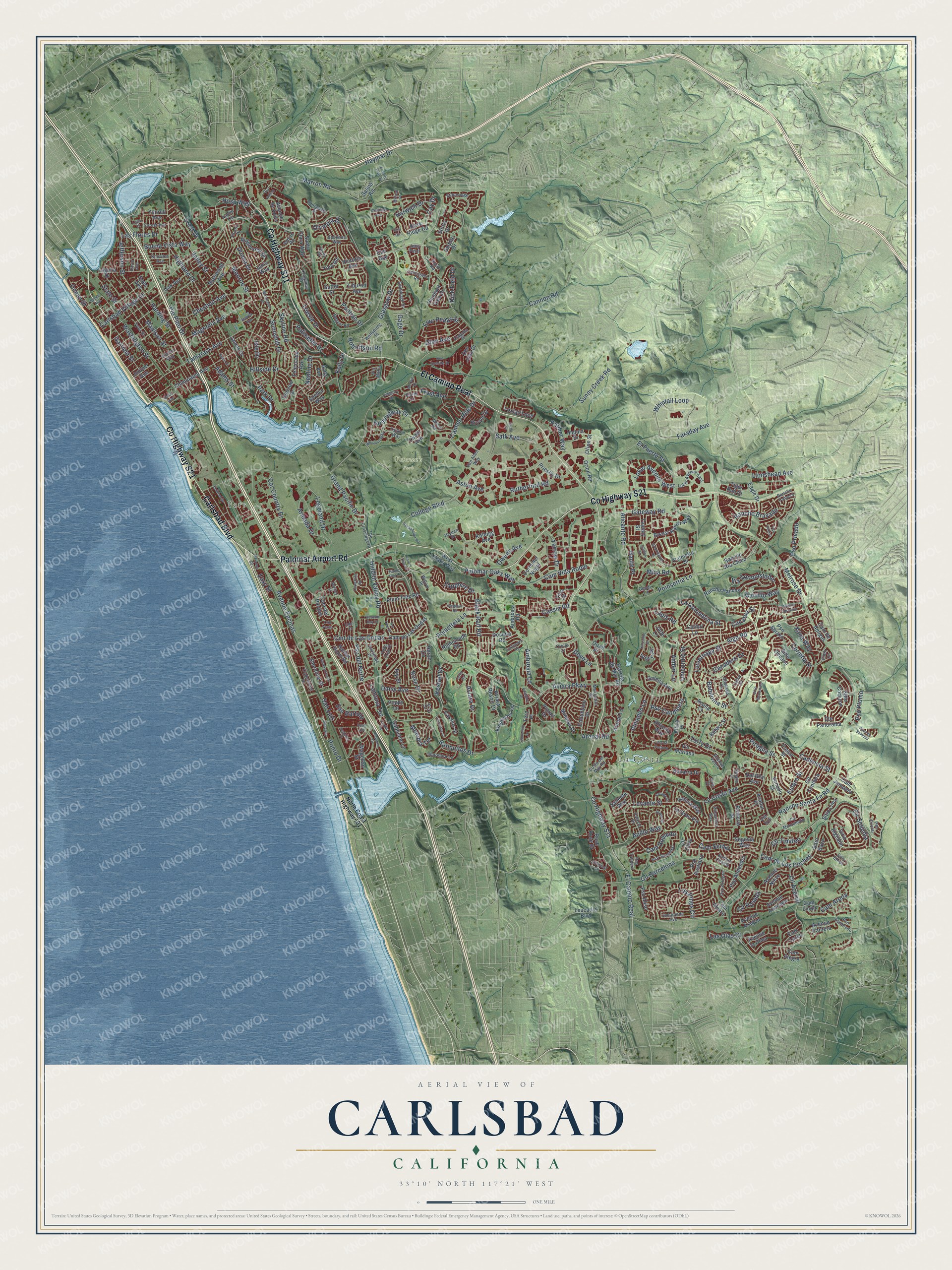
This beautifully detailed map of Carlsbad, California was created in 2026 using aerial imagery combined with modern topographical, census, street and landmark data. It’s a one-of-a-kind view of Carlsbad that combines accurate data with a vintage aesthetic. The map shows every building in its true location, many of the roads carry their names, and the shaded topographic relief shows the shape of the land.
Explore an aerial view of Carlsbad, California
On the map you’ll find Farr, La Costa, Veteran’s Park, and El Camino Real, along with County Highway S21, County Highway S11, Carlsbad Boulevard, Palomar Airport Road, Tamarack Avenue, La Costa Avenue, Poinsettia Lane, Cannon Road, and more. If you look closely you can even find your house accurately drawn in its correct location. Zoom in on the preview to look for yours.
Did you know this piece of Carlsbad, California history?
From Ohp.parks.ca.gov: "Between 1937 and 1940, these adobe and wood buildings were built by actor Leo Carrillo as a retreat, working ranch, and tribute to old California culture and architecture."
Take a closer look at the Carlsbad map
Street and place names on the Carlsbad, California map
These names are printed on the map of Carlsbad, California.
Places: Farr, La Costa and Veteran's Park.
Streets and roads: County Highway S21, County Highway S11, El Camino Real, Carlsbad Boulevard, Palomar Airport Road, Tamarack Avenue, La Costa Avenue, Poinsettia Lane, Cannon Road, Faraday Avenue, El Fuerte Street, Carlsbad Village Drive.
More street names, A to Z
Acuna Court, Adams Street, Adolphia Drive, Alga Road, Alicante Road, Alleyway, Allston Street, Almaden Lane, Altisma Way, Altiva Place, Amber Lane, Ambrosia Lane, Ambrosia Road, Ames Place, Anchor Way, Andrea Avenue, Anillo Way, Appian Road, Arapaho Place, Arenal Lane, Arenal Road, Armada Drive, Ashberry Road, Aston Avenue, Austin Terrace, Avenue Anacapa, Avenue Aragon, Avenue Christina, Avenue Ciruela, Avenue de Anita, Avenue Encinas, Avenue la Cima, Avenue Nieve, Avenue Pantera, Avenue Soledad, Avenue Valera, Aviara Drive, Aviara Parkway, Aviara Resort Drive, Avila Avenue, Azahar Place, Babilonia Street, Basswood Avenue, Batiquitos Drive, Beacon Bay Drive, Beech Avenue, Black Rail Road, Bolero Street, Bressi Ranch Way, Bryant Drive, Buena Vista Way, Buoy Avenue, Cacatua Street, Cadencia Street, Calliandra Road, Cam Alegre, Cam Alvaro, Cam Arena, Cam de Amigos, Cam de Las Ondas, Cam de Los Coches, Cam del Parque, Camino Hills Drive, Cam Junipero, Cam Largo, Cam Lindo, Cam Robledo, Cam Serbal, Cam Vida Roble, Car Country Drive, Carrillo Way, Cassia Road, Cassins Street, Cay Drive, Cazadero Drive, Cheshire Avenue, Chestnut Avenue, Chinquapin Avenue, Ciardi Court, Cliff Circle, Cll Acervo, Cll Barcelona, Cll Conifera, Cll Oliva, Cll Posada, Cll Timiteo, Cmt de Las Ondas, Cmt Verde, Colibri Lane, College Boulevard, Columbine Drive, Corintia Street, Corte del Nogal, Corvidae Street, Costa del Mar Road, Crest Drive, Cte Panorama, Cír Sequoia, Daisy Avenue, Date Avenue, Davis Avenue, Del Rey Avenue, Docena Road, Don Juan Drive, Donna Drive, Don Rodolfo Drive, Dove Lane, Dryden Place, Eagle Drive, Easy Street, Edinburgh Drive, El Arbol Drive, Elder Court, Elm Avenue, El Salto Flats Street, Esfera Street, Estrella de Mar Road, Falcon Drive, Fermi Court, Filoli Circle, Flame Tree Lane, Forest Avenue, Fosca Street, Four Peaks Street, Foxtail Loop, Frost Avenue, Gabbiano Lane, Gage Drive, Galena Avenue, Galicia Way, Garfield Street, Gateway Road, Geode Lane, Glasgow Drive, Glen Avenue, Grand Pacific Drive, Greenhaven Drive, Harbor Point Road, Harding Street, Harwich Drive, Haute Place, Haymar Drive, Hemingway Drive, Heron Circle, Hidden Valley Road, Highland Drive, Hillside Drive, Hope Avenue, Horizon Drive, Hosp Way, Impala Drive, Iris Court, Isle Drive, Ivory Place, Ivy Street, Jacaranda Avenue, Jade Lane, James Drive, Janis Way, Jefferson Street, Jerez Court, Jetty Point, Juniper Avenue, Karst Road, Kellogg Avenue, Kelly Drive, Kestrel Drive, Kingfisher Lane, Knowles Avenue, La Golondrina Street, La Gran Via, Laguna Drive, Lanai Court, Lancaster Road, Lantana Terrace, Lapis Road, Las Flores Drive, Las Olas Court, Laurel Tree Lane, Legoland Drive, Leucadia Boulevard, Levante Street, Linden Terrace, Lionshead Avenue, Llama Street, Loker Avenue East, Loker Avenue West, Longview Drive, Los Pinos Circle, Luciernaga Street, Madison Street, Magellan Street, Magnolia Avenue, Manzanita Street, Mariner Street, Marron Road, Melodia Terrace, Melrose Drive, Merwin Drive, Mica Road, Milford Place, Milton Road, Mimosa Drive, Monroe Street, Navarra Drive, Neblina Drive, Neptune Drive, Nightshade Road, North Coast Highway 101, Oak Avenue, Obelisco Circle, Ocean Street, Olympia Drive, Oriole Court, Orion Road, Orion Street, Owens Avenue, Palacio Drive, Palisades Drive, Palmer Way, Palmetto Drive, Palomar Oaks Way, Park Drive, Pear Tree Drive, Pintail Drive, Pio Pico Drive, Piragua Street, Pleasant Vale Drive, Plum Tree Road, Poinstteia Lane, Pontiac Drive, Ponto Drive, Poppy Lane, Priestly Drive, Primavera Way, Pso Abrazo, Pso Aliso, Pso Almendro, Pso Arrayan, Pso Avellano, Pso Candelero, Pso Cristal, Pso del Norte, Pso Esmerado, Pso Palero, Pso Plomo, Pso Privado, Pso Saucedal, Pso Tulipero, Quail Place, Rancho Bravado, Rancho Famosa, Rancho Pancho, Rancho Rio Chico, Rancho Santa Fe Road, Regatta Road, Regent Road, Rich Field Drive, Ridgecrest Drive, Robertson Road, Rocio Street, Rockefeller Road, Rock Ridge Road, Romeria Street, Rose Drive, Rush Rose Drive, Rutherford Road, Sacada Circle, Saddle Drive, Saliente Way, Salina Road, Salk Avenue, San Bartolo, San Luis, Santa Clara Way, Sapphire Drive, Seafarer Place, Seascape Drive, Segovia Way, Sevilla Way, Shorebird Lane, Shoreline Drive, Silverleaf Circle, Sitio Algodon, Sitio Baya, Sitio Borde, Sitio Corazon, Sitio Lima, Sitio Montecillo, Sitio Oceano, Skyline Road, Solamar Drive, Solano Street, Spokane Way, Spoonbill Lane, State Street, Stoneridge, Strata Drive, Sunny Creek Road, Sunnyhill Drive, Sutter Street, Syme Drive, Tanzanite Drive, Tatler Road, Tea Tree Street, Telescope Avenue, Tern Place, The Crossings Drive, Tiburon Avenue, Tiger Run Court, Tilia Place, Tolkien Way, Topiary Street, Torry Court, Tradewinds Drive, Trieste Drive, Turnstone Road, Twain Avenue, Tyler Street, Unicornio Street, Valley Street, Van Allen Way, Vancouver Street, Venado Street, Via Astuto, Via Conquistador, Via de Fortuna, Via Iris, Via Marta, Via Montebello, Victoria Avenue, Vis Mariana, Washington Street, Waters End Drive, Wellspring Street, Westhaven Drive, West Oaks Way, Whiptail Loop, Whitman Way, Willow Place, Xana Way, Yarrow Drive, York Road, Yourell Avenue.
See the Carlsbad, California map on a wall
The Carlsbad map as an 18 x 24 inch print in a black frame.

This beautifully detailed map of Carlsbad makes an attractive addition to your office, library, or den, and it can even be used to teach children the geography and history of the area. It also makes a great gift for someone who left Carlsbad and still calls it home. When you’re done exploring, click here to get your copy of the Carlsbad map.