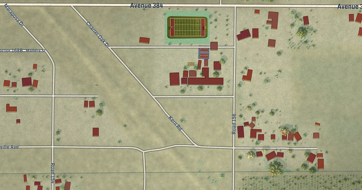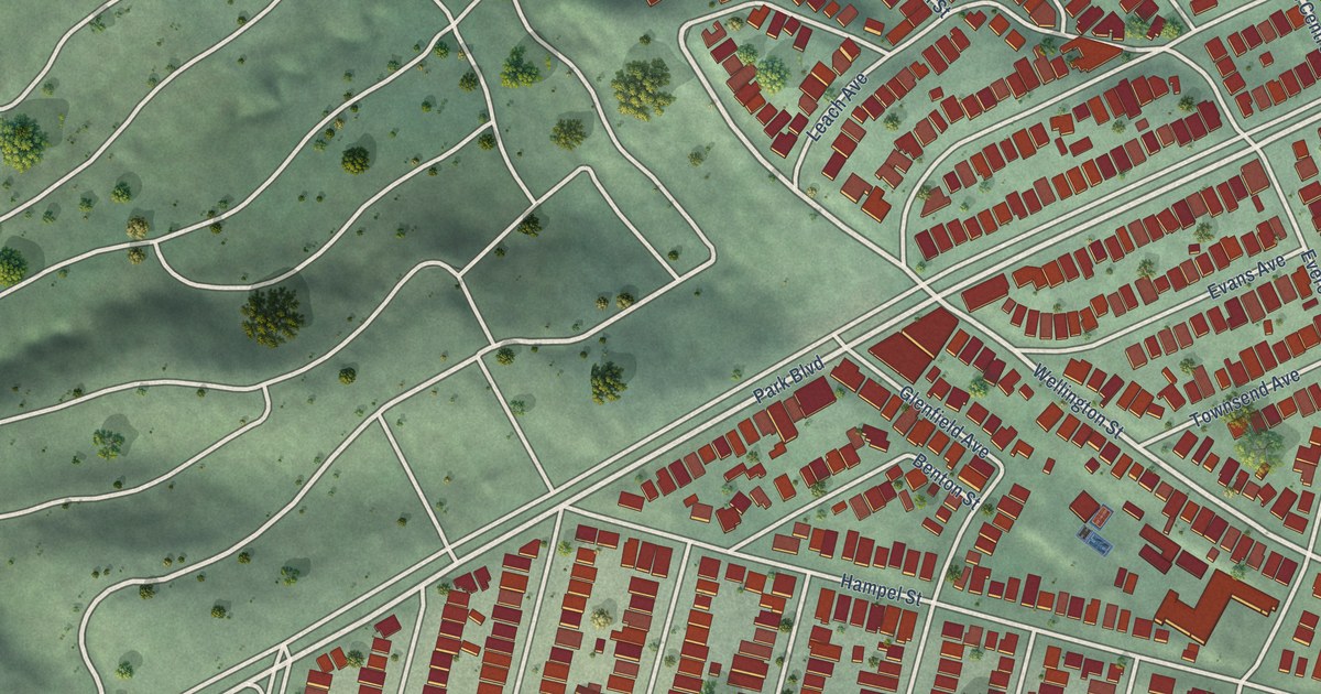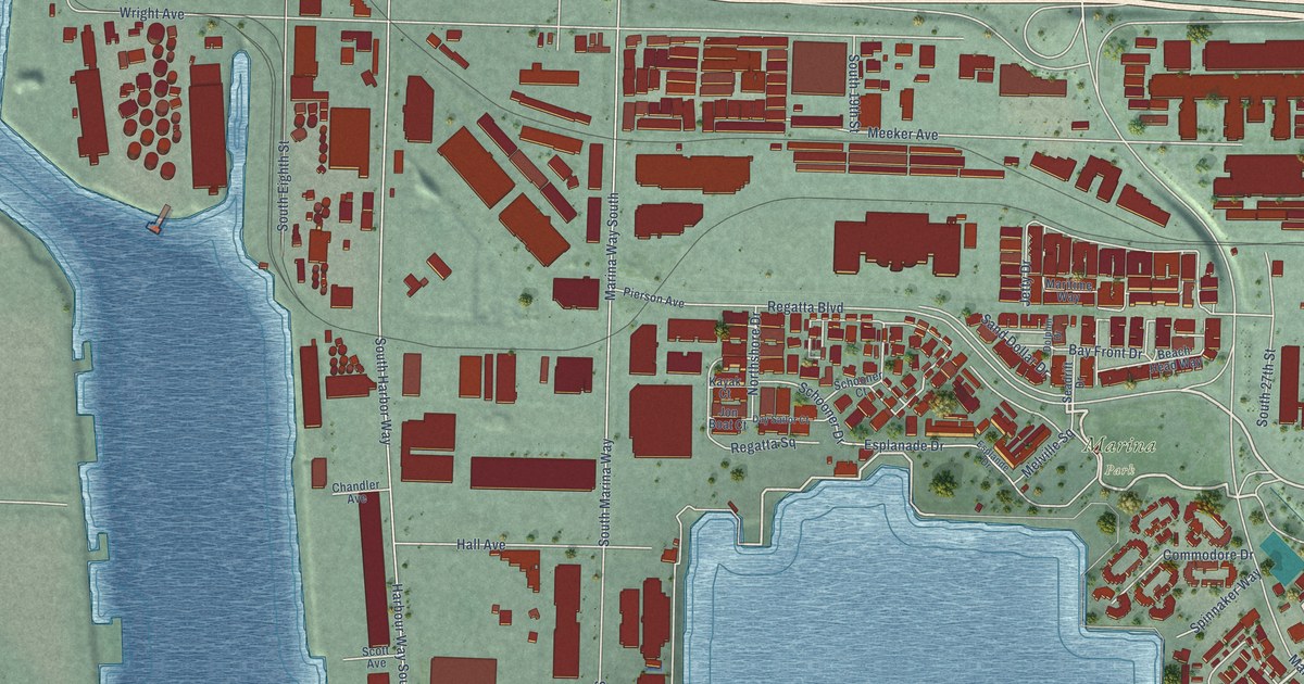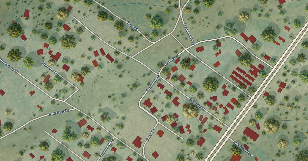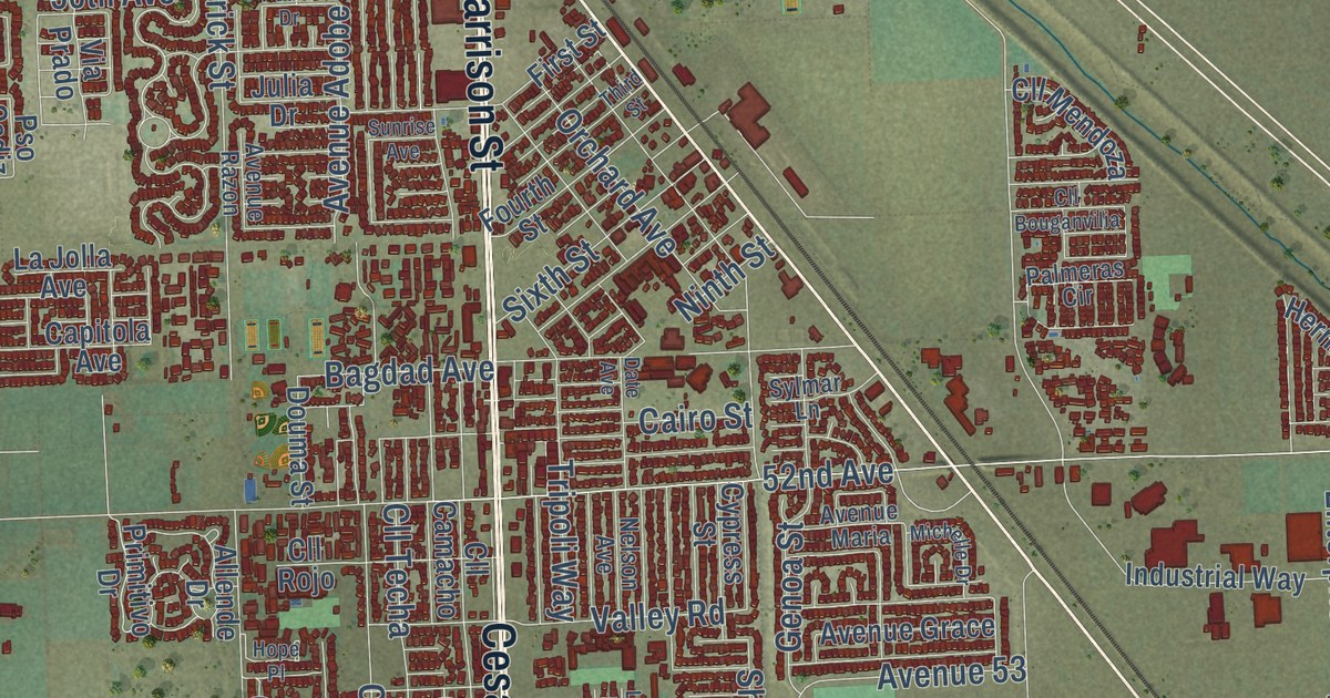
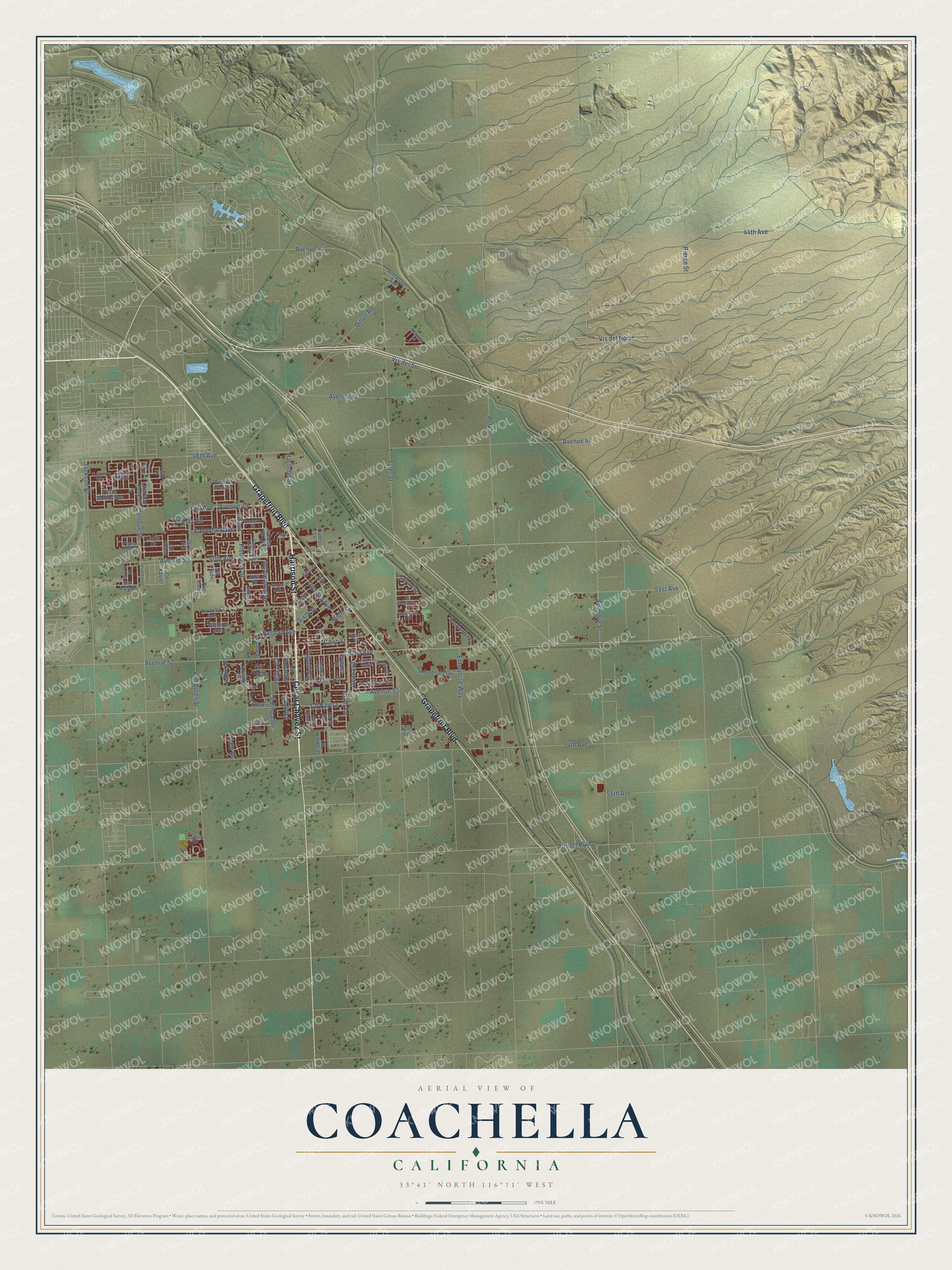
This beautifully detailed map of Coachella, California was created in 2026 using aerial imagery combined with modern topographical, census, street and landmark data. It’s a one-of-a-kind view of Coachella that combines accurate data with a vintage aesthetic. The map shows every building in its true location, many of the roads carry their names, and the shaded topographic relief shows the shape of the land.
Explore an aerial view of Coachella, California
On the map you’ll find Coachella City Hall, Avenue 52, Avenue 50, and Vis del Norte, along with Cesar Chavez Street, Grapefruit Boulevard, Harrison Street, Valley Road, 52nd Avenue, 50th Avenue, 54th Avenue, Tyler Street, and more. If you look closely you can even find your house accurately drawn in its correct location. Zoom in on the preview to look for yours.
Did you know this piece of Coachella, California history?
From the San Bernardino and Riverside Counties: "Coachella was originally named Conchella or place of shells, but by a printer's mistake it was named Coachella and the mistake was permitted to stand."
Take a closer look at the Coachella map
Street names on the Coachella, California map
These names are printed on the map of Coachella, California.
Streets and roads: Cesar Chavez Street, Grapefruit Boulevard, Harrison Street, Avenue 50, Airport Boulevard, 52nd Avenue, Avenue 52, 50th Avenue, Vis del Norte, 54th Avenue, Tyler Street, Fillmore Street.
More street names, A to Z
44th Avenue, 48th Avenue, 49th Avenue, 51st Avenue, 55th Avenue, Allende Drive, Arica Drive, Arrowood Avenue, Avenue 44, Avenue 47, Avenue 48, Avenue 49, Avenue 53, Avenue Adobe, Avenue Cortez, Avenue de Oro, Avenue Grace, Avenue Maria, Avenue Nerium, Avenue Razon, Bagdad Avenue, Bellissima Avenue, Cairo Street, Calendula Avenue, Calhoun Street, Campus Drive, Capitola Avenue, Charlton Peak Street, Cll Avila, Cll Balderas, Cll Bonita, Cll Bouganvilia, Cll Camacho, Cll Colima, Cll Diego, Cll el Sol, Cll Empalme, Cll Frontera, Cll la Paz, Cll Mendoza, Cll Najera, Cll Ocaso, Cll Rojo, Cll Techa, Cll Tolosa, Cll Xavier, Cypress Street, Date Avenue, Dillon Road, Douma Street, El Greco Avenue, Enterprise Way, Fiesta Road, First Street, Fourth Street, Frederick Street, Genoa Street, Hernandez Street, Hibisco Street, Hope Place, Industrial Way, Jackson Street, Julia Drive, La Jolla Avenue, Lapis Drive, Lee Lane, Meritage Lane, Michelle Drive, Nelson Avenue, Ninth Street, Oates Lane, Orchard Avenue, Palmeras Circle, Park Lane, Pedro Drive, Pierce Street, Pinto Lane, Pluma Dorada, Polk Street, Primitivo Drive, Pso Cadiz, Romero Street, San Asis Drive, Shady Lane, Sixth Street, Slate Drive, Sunrise Avenue, Sylmar Lane, Third Street, Todos Santos Avenue, Tripoli Way, Tyler Lane, Valley Road, Van Buren Street, Via Prado, Vis del Sur.
See the Coachella, California map on a wall
The Coachella map as an 18 x 24 inch print in a black frame.

This beautifully detailed map of Coachella makes an attractive addition to your office, library, or den, and it can even be used to teach children the geography and history of the area. It also makes a great gift for anyone who grew up in Coachella or moved away. When you’re done exploring, click here to get your copy of the Coachella map.