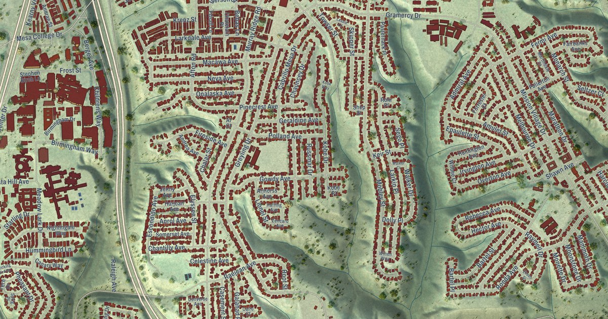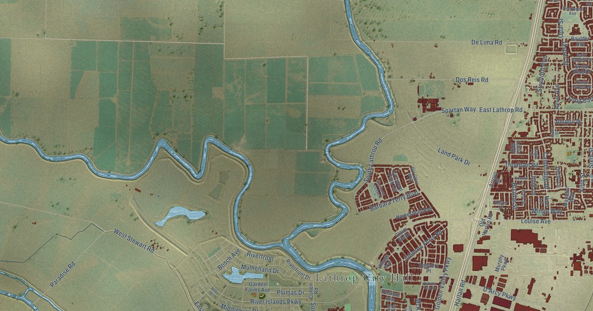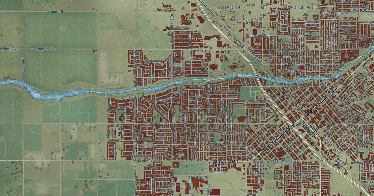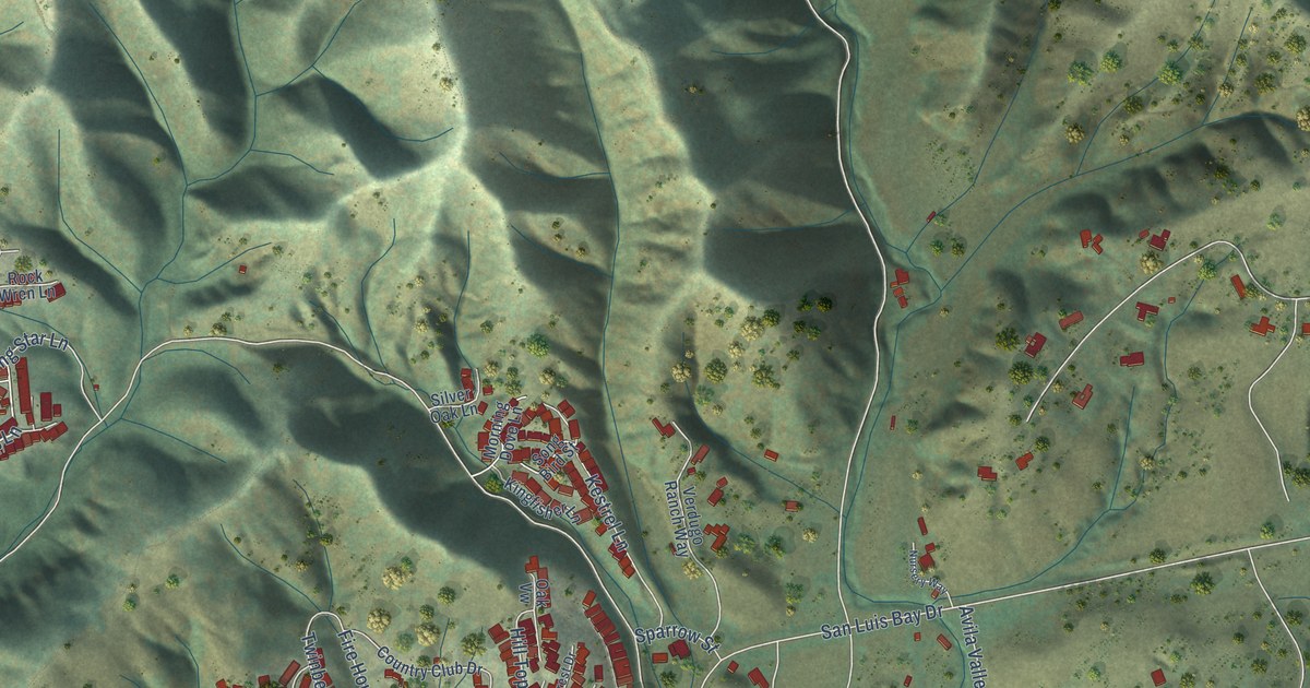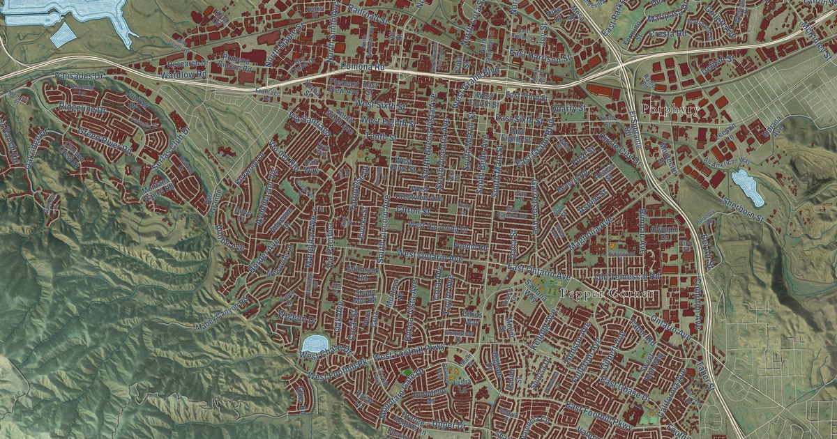
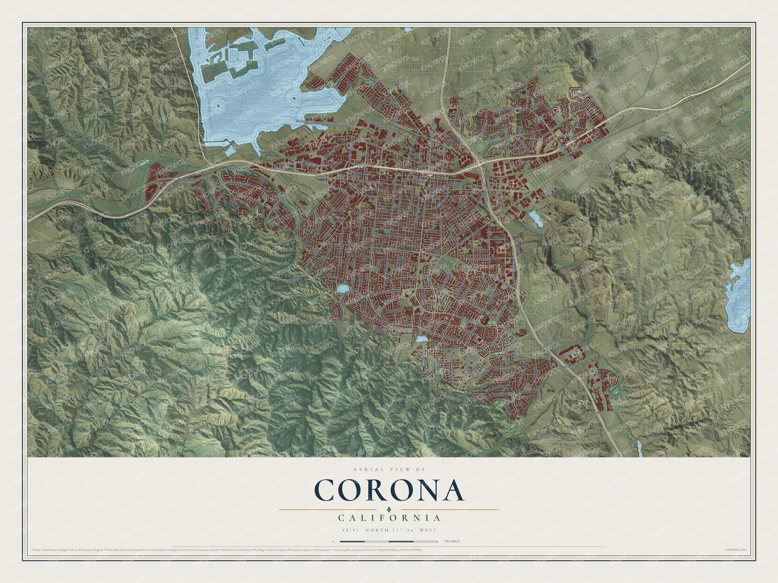
This beautifully detailed map of Corona, California was created in 2026 using aerial imagery combined with modern topographical, census, street and landmark data. It's a modern aerial view of Corona in Riverside County, California, that combines modern data with a vintage aesthetic. The roads feature printed names, and if you look closely you can find your exact house accurately shown in its correct location.
Explore an aerial view of Corona, California
On this map you'll find Weisel, Pepper Corner, Porphyry, South Main Street, South Lincoln Avenue, East Ontario Avenue, Ontario Avenue, East Foothill Parkway, North Lincoln Avenue, East Upper Drive, Mountain Gate Drive, West Foothill Parkway, and more. Each red shape is a building, so zoom in on the preview and look for yours.
Here is a piece of Corona history, in the words of the record. The Internet Archive puts it this way: "This was mostly in the
northern part of the state, and those who had to travel in the south-
ern part could only see dry and drear wastes of mesa, with here and
there an oasis."
Corona is a city in Riverside County. The Census Bureau counted 157,136 people here in 2020.
Take a closer look at the Corona map
Names on this map
These names are printed on this map.
Places: Weisel, Pepper Corner and Porphyry.
Streets and roads: South Main Street, South Lincoln Avenue, East Ontario Avenue, Ontario Avenue, East Foothill Parkway, North Lincoln Avenue, East Upper Drive, Mountain Gate Drive, West Foothill Parkway, Gilbert Avenue, Foothill Parkway, Upper Drive.
More street names, A to Z
Acacia Street, Adobe Avenue, Adrienne Drive, Alee Ci, Aliso Street, All American Way, Aspen Street, Auburndale Street, Auto Center Drive, Avenida del Vis, Aviation Drive, Bedford Canyon Road, Bedford Mtwy, Bel Air Street, Bennett Avenue, Beverly Road, Bighorn Drive, Big Spring Court, Birdie Drive, Blossom Hill Drive, Border Avenue, Braemar Lane, Brittany Drive, Buchanan Avenue, Buena Vista Avenue, Bus Center Drive, Butterfield Drive, Cabot Drive, Cajalco Road, California Avenue, Call Way, Camellia Court, Canyon Crest Drive, Cape Drive, Carriage Lane, Cedar Street, Chadwick Road, Chalgrove Drive, Cherokee Road, Cindy Court, Circle City Drive, Citron Street, Citrus Way, Cleveland Way, Collett Avenue, Compton Avenue, Coral Street, Corona Avenue, Corydon Street, Cota Avenue, Cota Street, Country Club Lane, Cresta Road, Crown Ranch Road, Dana Street, Delilah Street, Del Norte Drive, Dominguez Ranch Road, Donatello Drive, Dove Court, Duncan Way, Dyer Way, Eagle Canyon Road, Eagle Glen Parkway, Eagle Valley Road, East Chase Drive, East Eighth Street, East Grand Boulevard, East Harrison Street, East Parkridge Avenue, East Rancho Road, East Rincon Street, East Sixth Street, East Street, East Third Street, Eaton Street, Elker Road, El Sobrante Road, Emerald Street, Eureka Street, Fairway Drive, Feather River Road, Fir Street, Floyd Drive, Ford Street, Fox Run, Fresno Road, Frontage Road, Fullerton Avenue, Galloway Lane, Garretson Avenue, Gay Street, Glen Road, Golden Harvest Drive, Grapevine Drive, Greenbriar Avenue, Green River Road, Griffin Way, Harrington Street, Hemingway Drive, Heritage Drive, Hidden Springs Drive, Hidden Valley Parkway, Hoag Avenue, Holly Springs Drive, Howe Street, Hudson Avenue, Ibby Road, Indiana Avenue, Jameson Drive, Jason Court, Jenks Drive, John Drive, Joy Street, Juniper Drive, Kellogg Avenue, Kirkwood Drive, Klug Circle, Lakeshore Drive, La Salle Circle, La Vista Avenue, Leeson Lane, Lester Avenue, Liberty Avenue, Liberty Drive, Lincoln Avenue, Lydia Lane, Mabey Canyon Road, Magnolia Avenue, Main Street, Mandevilla Way, Mangular Avenue, Mariposa Drive, Masters Drive, McKinley Street, Mc Kinley Street, Mellor Street, Mesa Drive, Mesquite Lane, Millbrook Road, Mira Valle Street, Mondale Street, Montana Ranch Road, Montecito Drive, Montoya Drive, Morales Way, Mountainside, Myrtle Street, Nice Drive, Nicholas Place, Norco Hills Road, North Buena Vista Avenue, North Cota Street, North Joy Street, North Main Street, North Maple Street, North Sheridan Street, North Sherman Avenue, North Smith Avenue, Oak Avenue, Oakridge Drive, Old Temescal Road, Olympic Drive, Orange Heights Lane, Ott Street, Palisades Drive, Parkridge Avenue, Parkview Drive, Payette Drive, Pera Street, Pico Street, Pike Drive, Pinehurst Drive, Pinewood Drive, Player Road, Pleasant View Avenue, Pomona Rincon Road, Pomona Road, Porphory Road, Prado Road, Promenade Avenue, Pronio Drive, Pso Grande, Pueblo Road, Quarry Street, Radio Road, Railroad Street, Ranch Vista Road, Ranier Street, Redrock Drive, Research Drive, Rexford Way, Richey Street, Ridgeline Drive, Ridgewood Drive, Rimpau Avenue, River Road, Roosevelt Street, Rosser Drive, Rural Lane, Ruth Circle, Saltbush Circle, Sampson Avenue, Santana Way, Selkirk Drive, Serfas Club Drive, Shady Mill Road, Shady Ridge Drive, Shasta Drive, Shepard Crest Drive, Sherborn Street, Sixth Street, Sonrisa Drive, South Belle Avenue, South Buena Vista Avenue, South Merrill Street, South Smith Avenue, South Vicentia Avenue, Spyglass Drive, State Street, Steven Drive, Strandberg Street, Sweet Rain Way, Taber Road, Taber Street, Tamarron Drive, Taylor Avenue, Temescal Canyon Road, Tenth Street, Termino Street, Terra Drive, Tom Barnes Street, Trenton Avenue, Turquoise Drive, Tuscany Street, Valencia Circle, Valencia Road, Vandagriff Way, Vera Cruz, Via Blairo, Via del Rio, Via Miguel Street, Via Pacifica, Via Santiago, Village Loop Drive, Wardlow Road, Weirick Road, Wellesley Drive, West Chase Drive, West Crestview Avenue, West Eighth Street, West Foothill Pk, West Fourth Street, West Grand Boulevard, West Hacienda Drive, West Olive Street, West Ontario Avenue, West Rincon Street, West Sixth Street, Wigeon Drive, Wren Avenue, Wycliffe Street, Yorba Street.
Created by KNOWOL in 2026. The buildings are small red shapes, the roads carry their printed names, and shaded relief shows the shape of the land. The title panel reads "AERIAL VIEW OF CORONA CALIFORNIA" with 33°51' NORTH 117°34' WEST.
It suits a den, a classroom or a front hall, and it makes a gift for anyone with Corona roots. Open the preview and find the block you know. See sizes and frames for the Corona map.